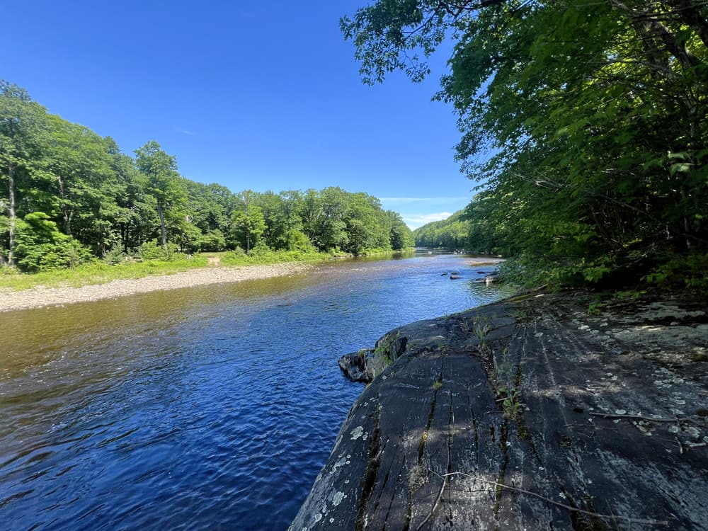
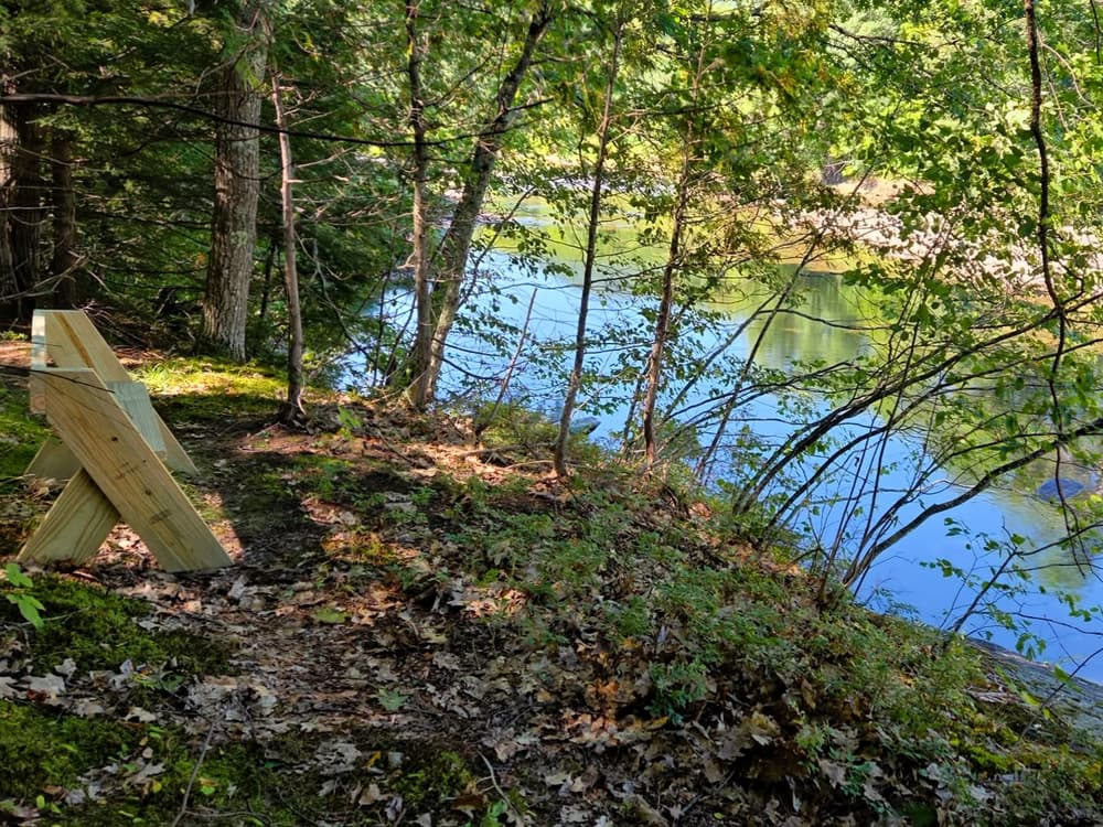
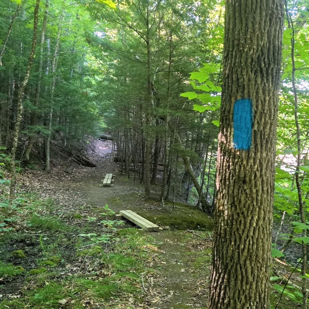
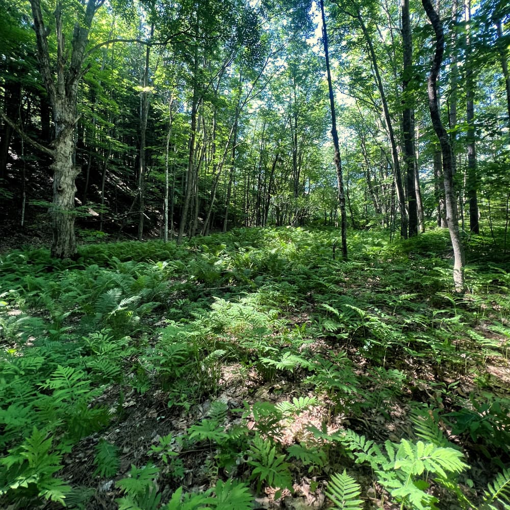
The Sherry Walrath Memorial Trail follows a mostly flat, easy-going footpath beside the Sandy River. The route travels through red pine stands, fern-filled floodplain forest, and a quiet riverside terrace beneath a steep, wooded bank.
Small streams descend the hillside and cross the trail corridor, creating wet or muddy footing at times, particularly during spring and after rain. Along the way, visitors will find scenic river views and places to pause, watch for wildlife, fish, or enjoy the clear water of the Sandy River.
Walrath Woods protects 124 acres and 1.7 miles of Sandy River frontage, creating Strong’s first formal public trail and permanently safeguarding public access to this important river corridor. The trail is named in memory of Sherry Walrath (1937–2025), who cared for and enjoyed this land with her husband, Doug, for more than 40 years.
The property is open for low-impact recreation, including hiking, fishing, hunting, foraging, and snowshoeing. High Peaks Alliance is also working to conserve an adjoining 100-acre parcel to the south, which would extend protected river frontage and public access. Please help care for this shared place by carrying out all trash, respecting wildlife and neighboring properties, and leaving the trail better than you found it.
For additional information, visit the High Peaks Alliance website, or contact:
High Peaks AllianceFrom downtown Farmington, follow ME-4 north and turn onto ME-149 (South Strong Road), toward Strong. Follow South Strong Road to either Walrath Woods parking area at 168 or 489 South Strong Road.
From Strong village, follow ME-149/South Strong Road south to either parking area.
Both lots are small and accommodate approximately three vehicles each; please park only in designated areas and avoid blocking the road or nearby driveways. If the parking area is full, the trail is at capacity and we encourage you to explore another conservation area.
Success! A new password has been emailed to you.