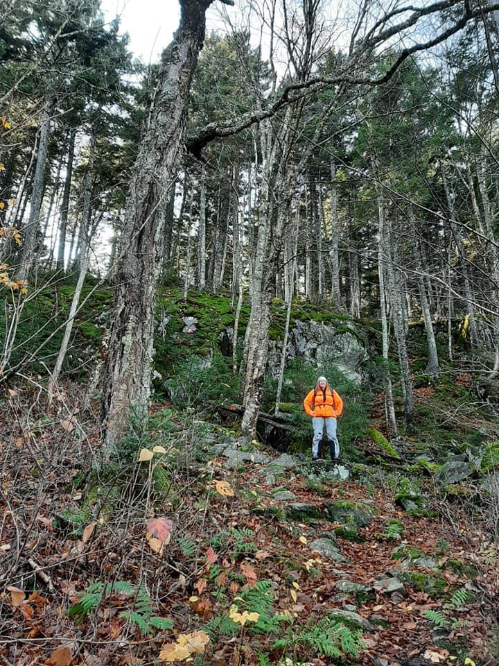
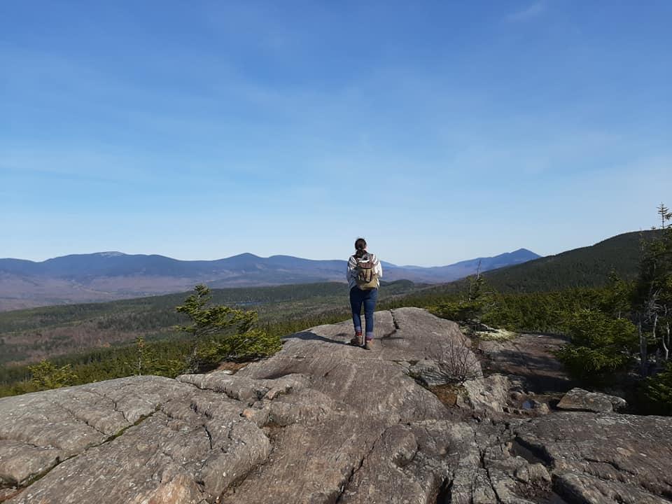
Follow the blue blazes as the trail winds through the hardwood forest over the lower slopes of Third Mountain. Cross several small streams on wooden bridges and a wet area on bog bridges. Beyond, the trail begins to climb steadily on a number of long switchbacks. The trail makes its way toward several large boulders before climbing several steep rock staircases and then a wooden ladder. Views being to open up through the trees and soon the angle eases and the trail reaches a junction with the Appalachian Trail at the height of land. To the left, it is 0.5 miles via the AT to the grant views atop Monument Cliff on Third Mountain. To the right, it is 2.0 miles via the AT to the wooded summit of Fourth Mountain, and 5.0 miles to the abandoned fire tower atop Barren Mountain.
This trail is within 66,000 acres of conservation land owned by the Appalachian Mountain Club (AMC) as a part of AMC’s Maine Woods Initiative. The Maine Woods Initiative is the AMC’s strategy for land conservation in the 100-Mile Wilderness region. The Initiative is an innovative approach to conservation that combines outdoor recreation, resource protection, sustainable forestry, and community partnerships. Through conservation purchase with our partners, AMC permanently protected over 66,000 acres of land in the region, creating a 63-mile-long corridor of conservation land stretching from AMC's property near Greenville north to Baxter State Park. This land is open to the public for recreational uses including hiking, paddling, camping, skiing, and snowshoeing. Fishing and hunting are also permitted in accordance with state law.
Project partners include the Trust for Public Land, The Nature Conservancy, Maine Bureau of Parks and Lands, the Land for Maine’s Future Program, the federal Forest Legacy Program and the Forest Society of Maine.

This trail passes through a property that was acquired in part with funds from the Land for Maine’s Future program. For more information about the LMF program and the places it has helped to protect, please visit the LMF webpage.
Visit AMC's Maine Woods Initiative online for more information or contact:
Appalachian Mountain Club, Greenville OfficePark in the parking lot (on the left) just past the trailhead (sign) on Chairback Mountain Road at a point 2.4 miles from its junction with the K-I Road.
From the east via Brownville: Approach the KI (Katahdin Iron Works) Road on ME Route 11 either 26.0 miles south of Millinocket or 5.5 miles north of Brownville Junction. Signage for the Katahdin Ironworks Historic Site (KIW) may be missing, so check your mileage. Turn west onto KI Rd. The KI checkpoint at the entrance to KI Jo-Mary Forest is 6.3 miles from ME Route 11. Stop and register (fee charged May through October $10 per person $6 for Maine Residents).
From the west via Greenville: At the blinking traffic light in the center of Greenville on ME Routes 6/15, proceed north one block and turn right onto Pleasant Street. After 2.0 mi. the road becomes gravel. At 11.0 miles from Greenville, stop and register at the North Maine Woods Hedgehog checkpoint (fee charged May through October $10 per person $6 for Maine Residents). From the Greenville Gate, go 1.8 miles and turn right at the T intersection onto the K-I Road. Continue 3.5 miles and turn right onto Chairback Mountain Road.
Success! A new password has been emailed to you.