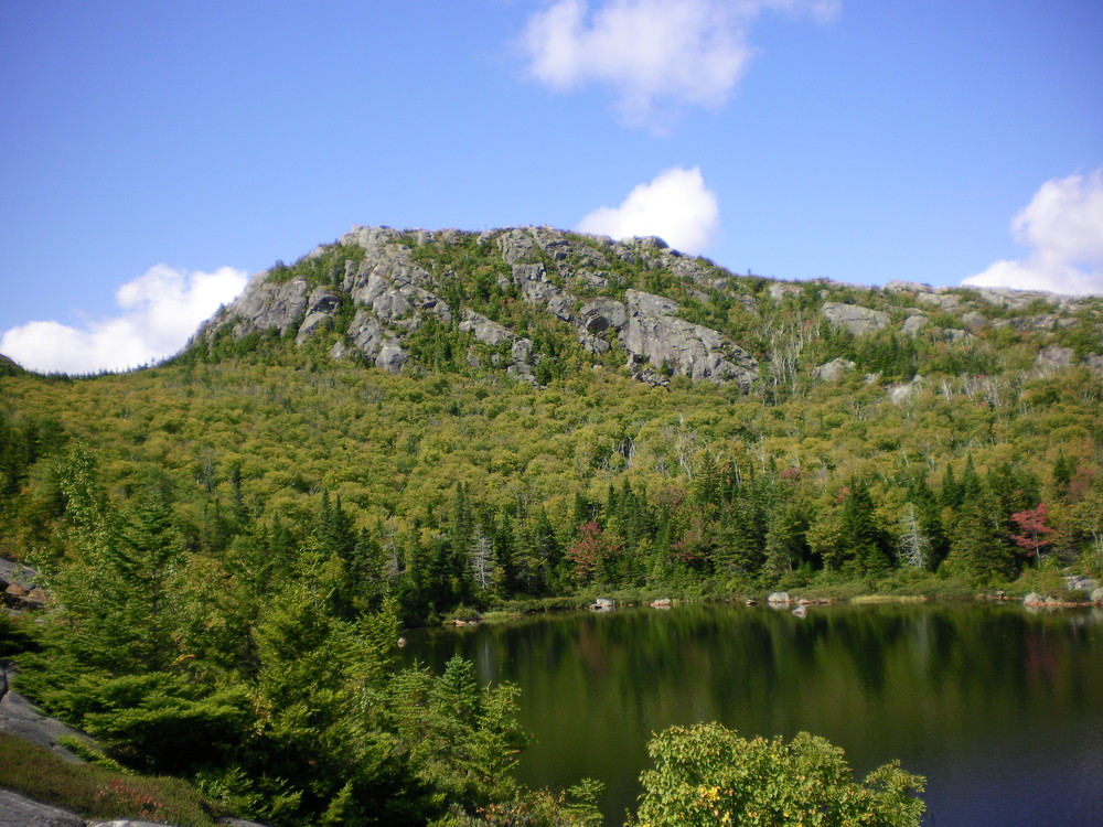
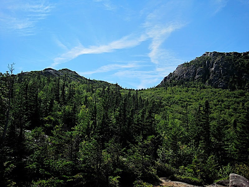
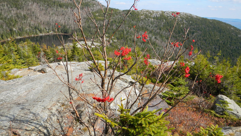
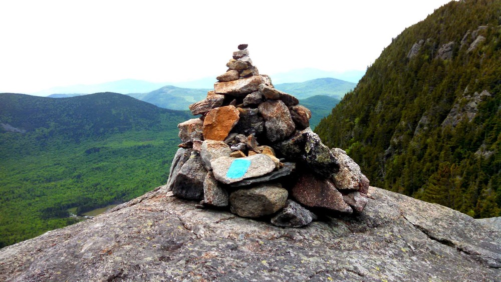
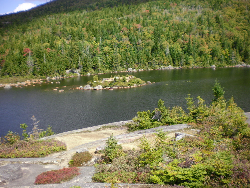
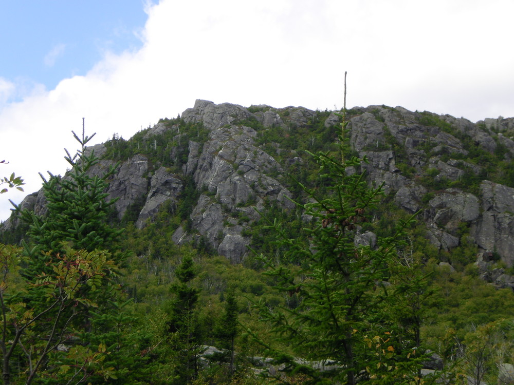
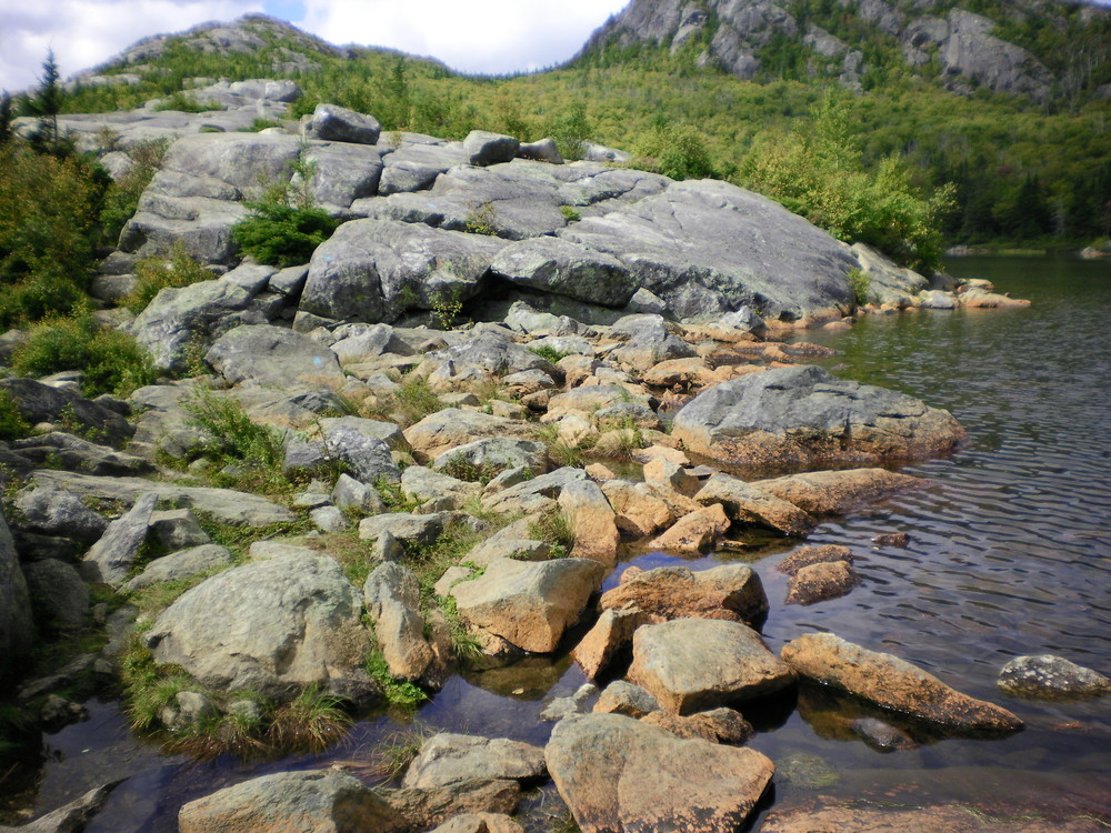
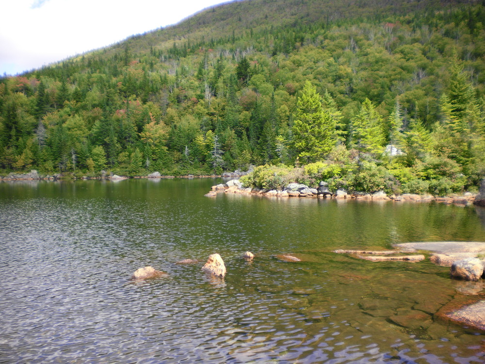
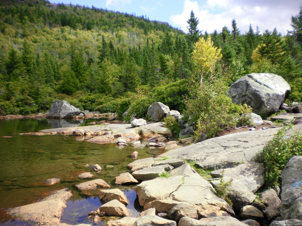
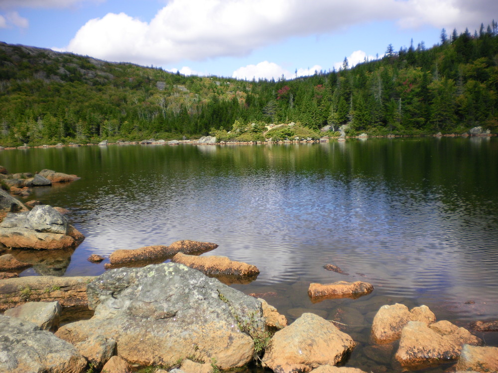
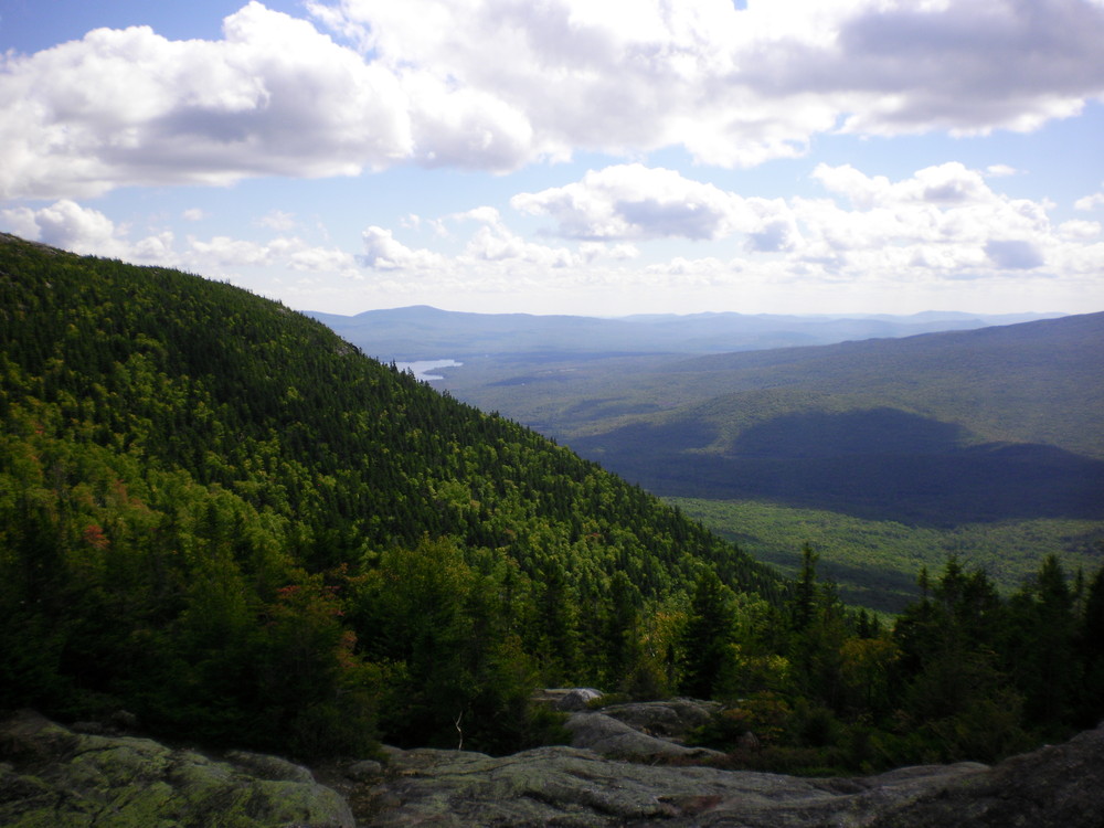
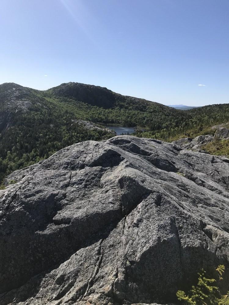
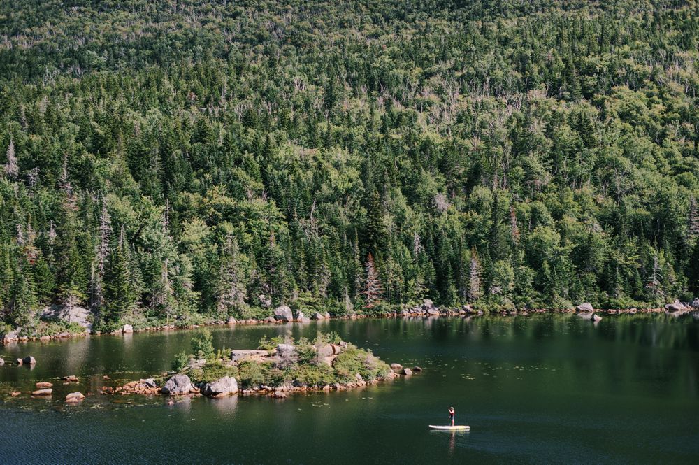
The Tumbledown Mountain and Little Jackson Mountain trail network is composed of six trails and two official trailheads and provides advanced hiking to some of the most unique features in Western Maine. Tumbledown Mountain is not the highest mountain in this area, but with three peaks, 700-foot cliffs and a pond (or mountain tarn) near the summit, Tumbledown stands out among its taller rivals.
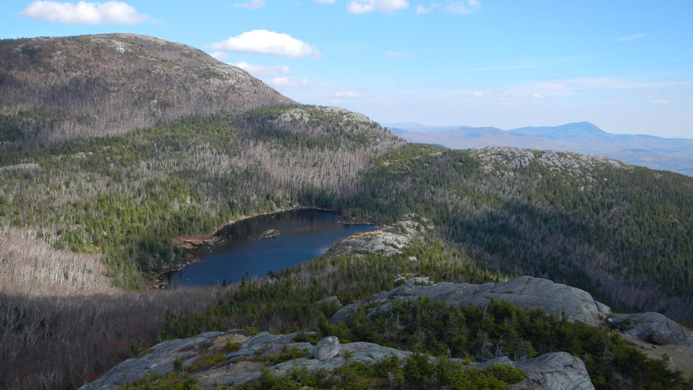
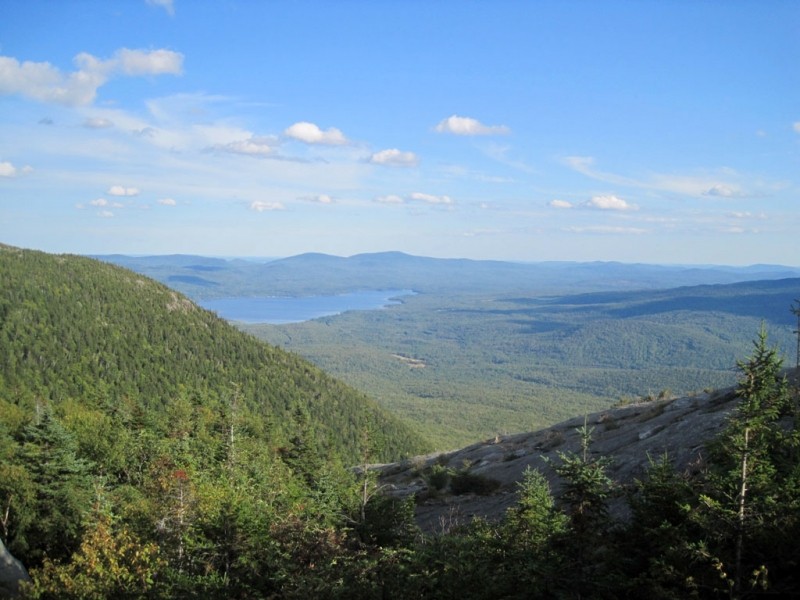
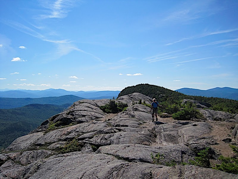
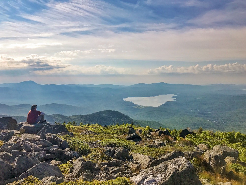
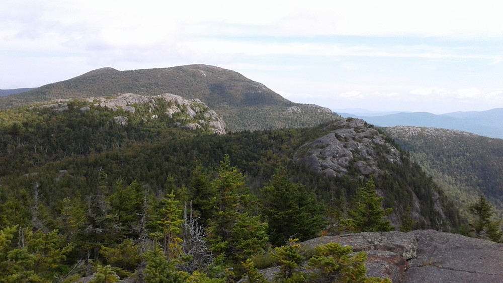
Little Jackson Mountain is part of the same range as Tumbledown Mountain, but it is higher elevation and ledges offer a different perspective. From the 360-degree view on the summit one can see Saddleback and Sugarloaf to the north, Mount Blue and Webb Lake to the East and to the south, some 600 feet directly below the peak, Tumbledown Pond. Each trail may be explored separately as a day hike, although many experienced hikers prefer to string several trails together into a larger loop.
Each trail section is described below including mileage, difficulty, points of interest along the way and its connecting trails.
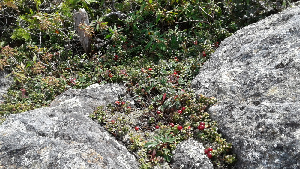
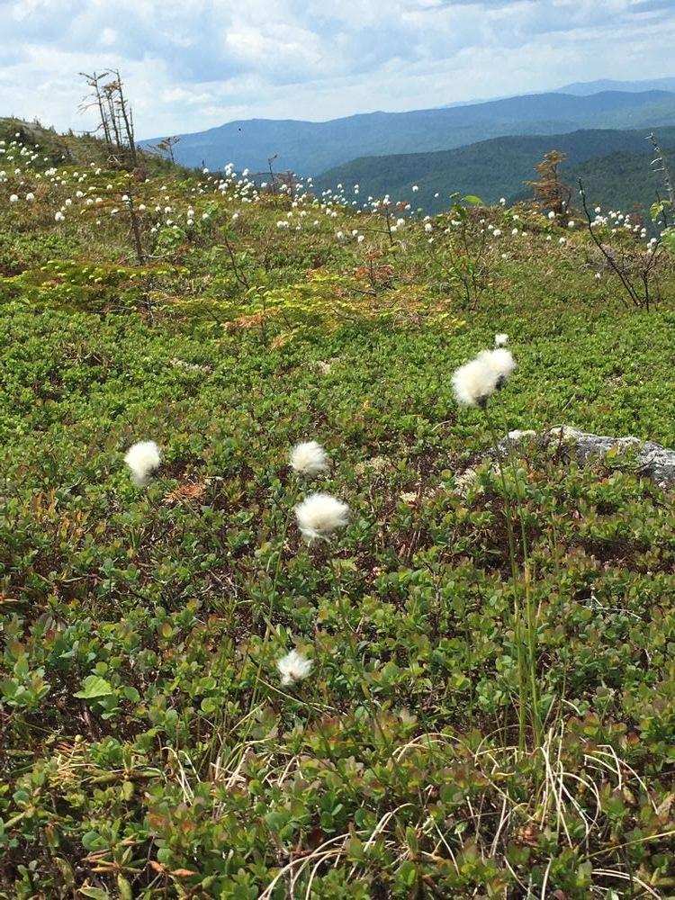
PLEASE NOTE: No camping or fires are permitted on Tumbledown and pets must be on leash to protect the fragile habitat along these trails.
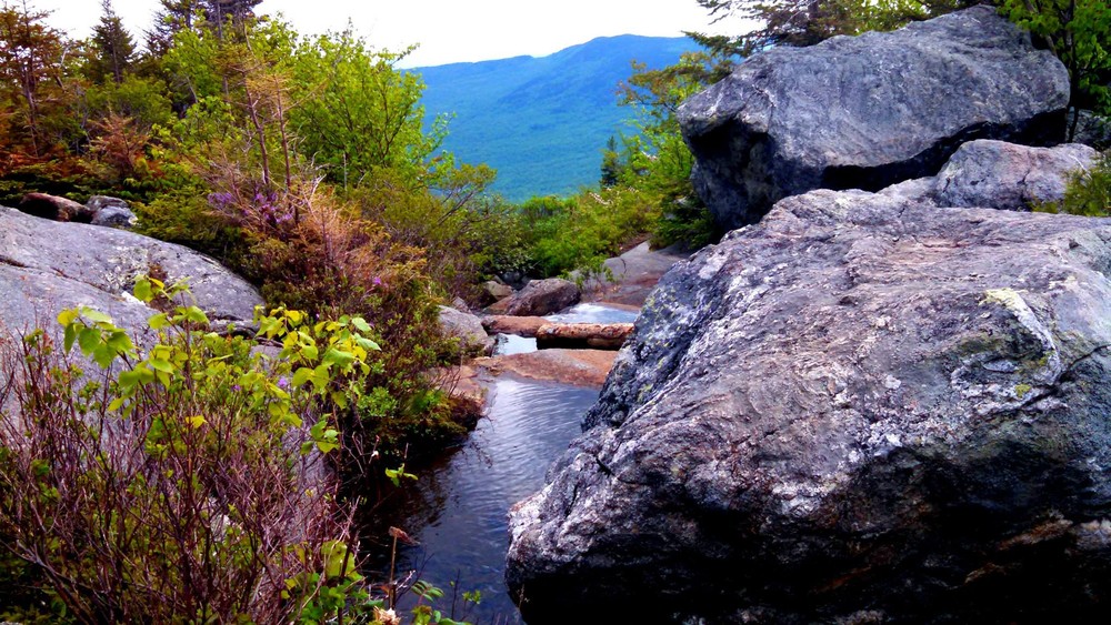
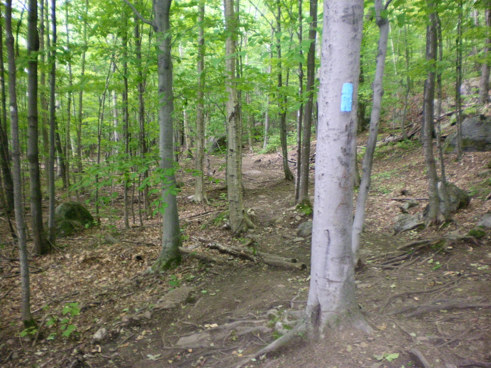
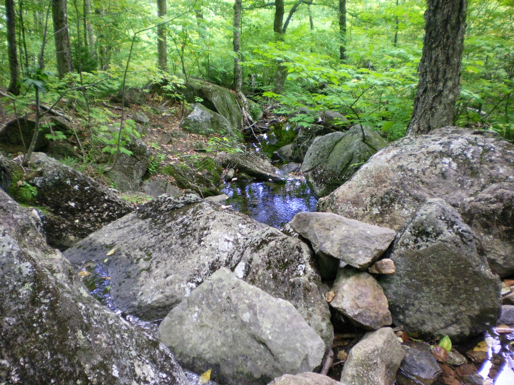
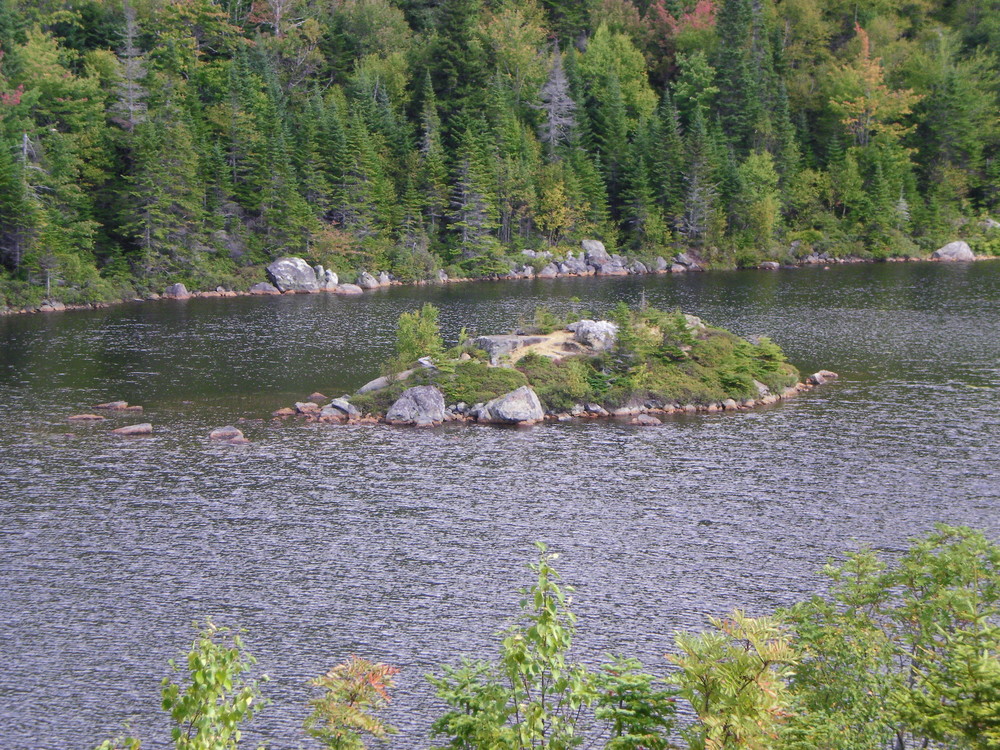
Brook Trail (1.9 miles, Moderate): This trail is the most direct trail to the pond and one of the easier trails in the network. Starting at the Brook Trailhead, the trail follows an old logging road for about a mile. After the road crosses Tumbledown Brook, turn right and follow the trail as it begins to closely parallel the brook. Just before the summit, the Brook Trail is joined from the right by the Parker Ridge Trail and shortly afterwards ends at Tumbledown Pond and the Tumbledown Ridge Trail.
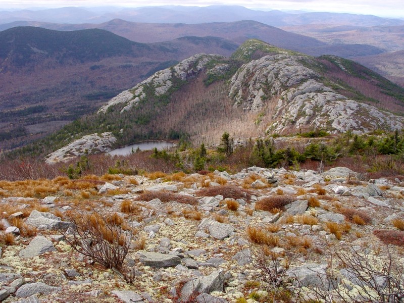
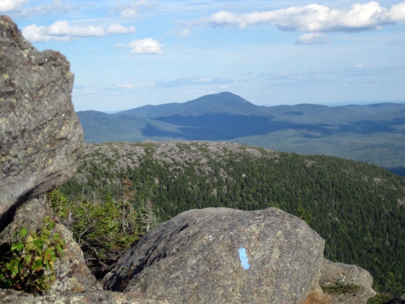
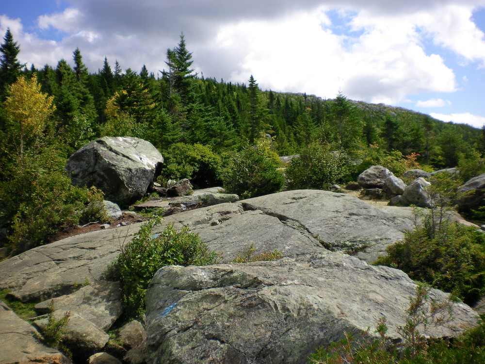
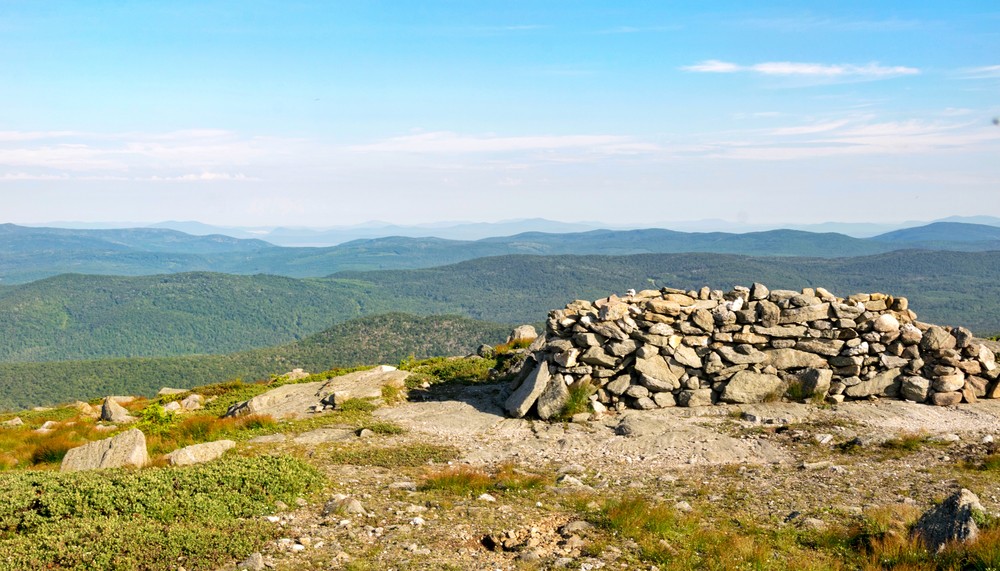
Parker Ridge Trail (2.9 miles, Advanced): According to the Appalachian Mountain Club, this is the oldest trail to ascend Tumbledown Mountain. To gain access to this trail, leave from the Brook Trailhead and follow the Little Jackson Connector for 1.1 miles. At this point, the Little Jackson Mountain Trail will bear right; follow the Parker Ridge Trail towards the left. The Parker Ridge Trail gently climbs through second-growth forest for about a mile before rising steeply over three ledges and continuing on a steady ascent of Parker Ridge. Parker Ridge is a bare summit, allowing for views of Tumbledown Pond, Tumbledown Mountain, and Little Jackson Mountain, as well as views of Webb Lake and Mount Blue to the south and east. The trail continues along the ridge and rejoins the Brook Trail just short of Tumbledown Pond.
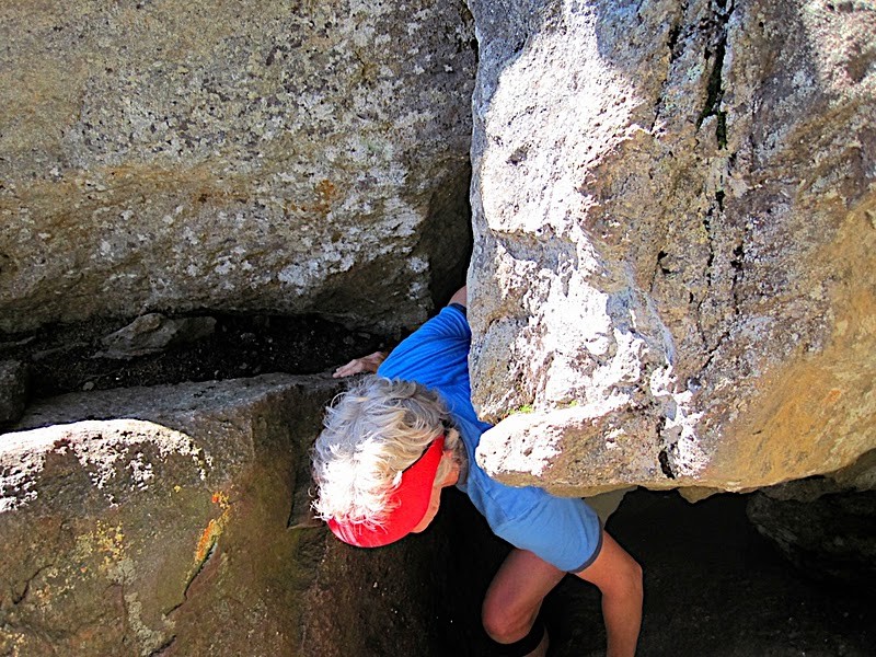
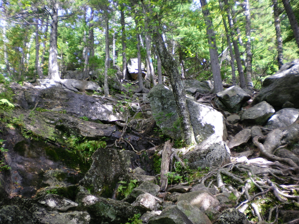
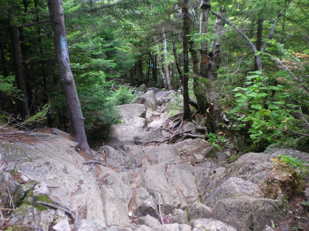
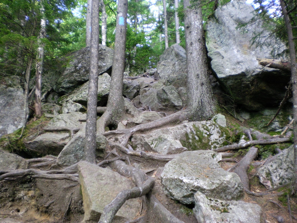
Loop Trail (1.5 miles, Advanced): This is the most difficult trail on Tumbledown Mountain. Because rock scrambling is an integral part of this trail, this is not an appropriate trail for novices, for less agile hikers, or for dogs. It is also easier to ascend this trail than to climb down. Its popularity, however, isdrawn from its unique features.
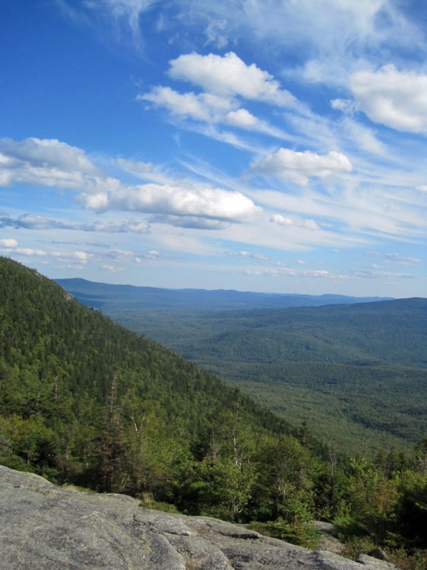
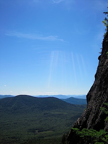
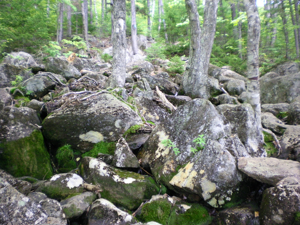
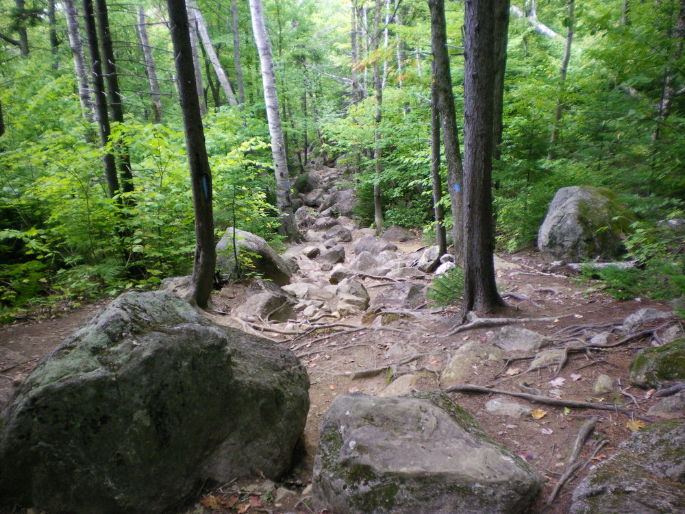
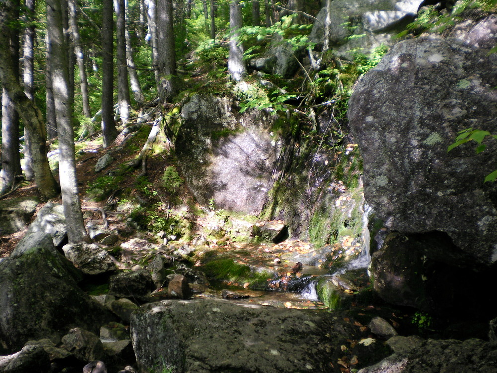
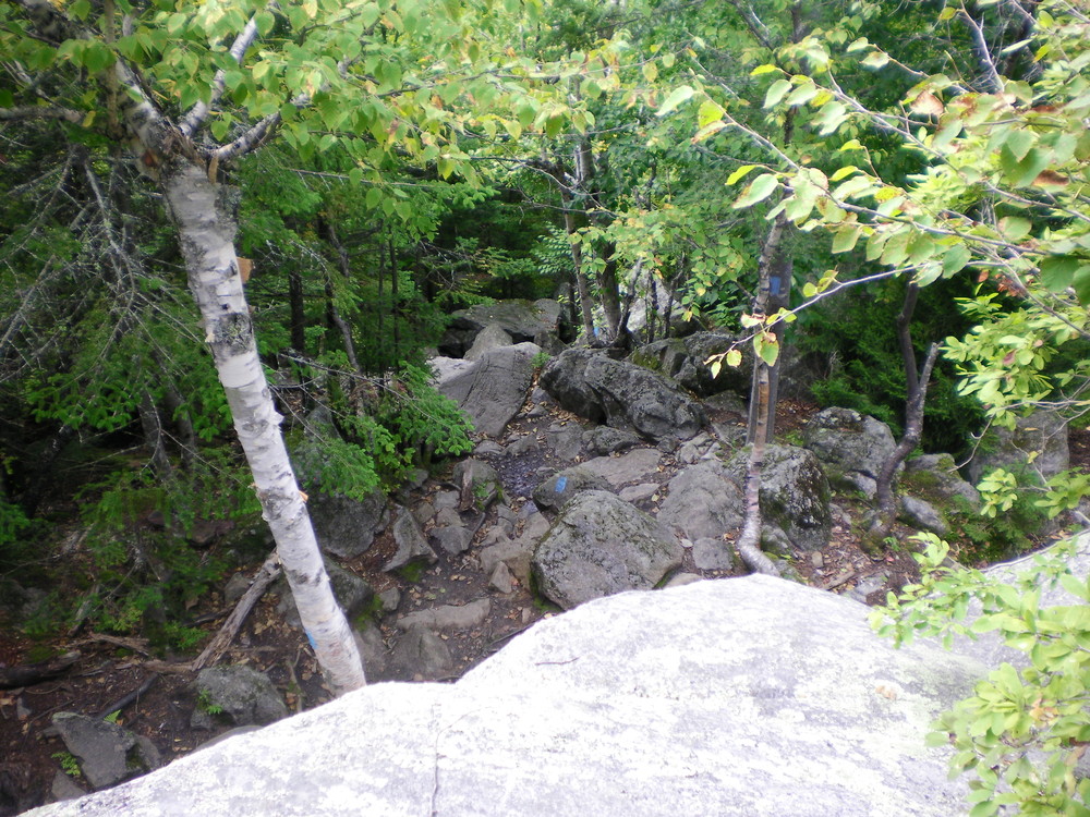
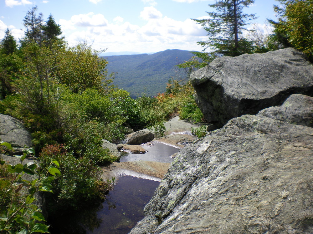
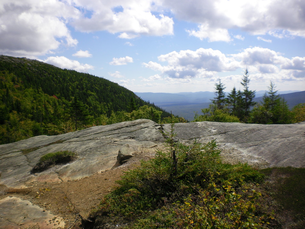
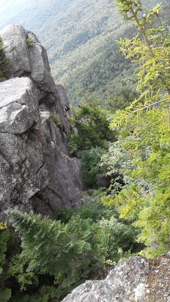
This trail begins at the Loop Trailhead and is the only trail leaving from this location. Rising gradually for the first mile, the Loop Trail has two stream crossings until it reaches a large boulder (Tumbledown Boulder). Above Tumbledown Boulder, the trail begins to rise steeply until it reaches the Great Ledges, a beautiful point with views of Tumbledown’s 700-foot southern cliffs.
Climbing further into a steep gully, the trail reaches Fat Man’s Misery, a narrow, chimney-like fissure in the mountain. Just above Fat Man’s Misery is a particularly steep climb; iron rungs assist the climber in some sections of this boulder scramble. At the end of this climb, The Loop Trail ends at the Tumbledown Ridge Trail.
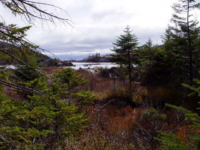
Tumbledown Ridge Trail (0.7 miles, Connector): Starting at the outlet of Tumbledown Pond, this trail connects the ends of the Brook and Parker Ridge Trails with the end of the Loop Trail and, further on, the West Peak of Tumbledown Mountain. Along the way, the trail ascends the East Peak and then drops into a saddle where it intersects with the Loop Trail before a short quarter-mile final ascent to the West Peak.
Pond Link Trail (1.1 miles, Connector): Starting at the outlet of Tumbledown Pond, the Pond Link Trail follows the eastern shore of Tumbledown Pond before turning east along the ridge between Parker Ridge and Little Jackson Mountain. The Pond Link Trail ends at the Little Jackson Mountain Trail, just shy of that mountain’s summit.
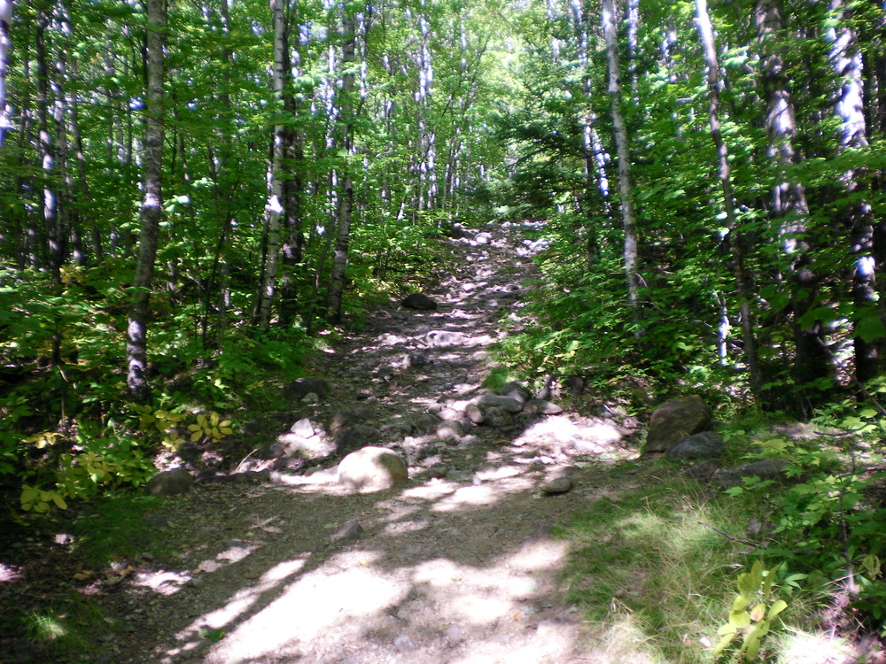
Little Jackson Mountain Trail (3.7 miles, Advanced): The first 1.1 miles of this trail is called the “Little Jackson Connector” because it connects the Brook Trailhead with both the Parker Ridge Trail and the Little Jackson Mountain Trail. At the junction of the Little Jackson Connector and the Little Jackson Mt. trails, a blue sign indicates the start of the Little Jackson Mountain Trail. The trail rises steadily from this point. At the intersection with the Pond Link Trail, Little Jackson Mountain trail takes a sharp right (going straight will take you on to the Pond Link Trail). Approaching the summit, the trail traverses a series of ledges with great scenic overlooks towards the east. The bare summit facilitates a full 360-degree view of the Mahoosuc Range.
Please keep your pets on leash to prevent further harm to the trail and the fragile ecosystem through which it passes. Fires are also prohibited here.
As of June 25, 2021, camping is prohibited on Tumbledown Mountain.
For more information about the interesting geological features of Tumbledown Mountain and features visible form the trail, check out A Geological Tour of Tumbledown Mountain on the Maine Geological Survey's website. The dirt road between Byron and Weld is un-plowed during the winter and serves as a snowmobile trail.
 Natural Heritage Hikes is a project of the Maine Natural Areas Program in partnership with Maine Trail Finder. View the "Tumbledown Mountain - Loop Trail, Tumbledown Ridge Trail, Brook Trail, Byron Road" or "Little Jackson - Little Jackson Trail" guides online here.

This trail passes through a property that was acquired in part with funds from the Land for Maine’s Future program. For more information about the LMF program and the places it has helped to protect, please visit the LMF webpage.
Visit Maine Bureau of Parks and Lands online for more information and a detailed trail guide or contact:
Maine Bureau of Parks and Lands, Western Public Lands OfficeLoop Trailhead
From West: Starting on ME Route 17 in Byron (22 miles south of Oquossuc or 13 miles north of Mexico), take Dingle Hill Road over Coos Canyon and the Swift River and drive approximately 4.5 miles until you see a pullout and signs for the trail on the left. (Dingle Hill Road changes name and becomes first Weld Road and then Weld to Byron Road.)
From East: From the intersection of ME Routes 156 and 142 in Weld, follow ME Route 142 north 2.3 miles and turn left onto Byron Road. Shortly after the turn, Byron Road is unpaved; continue to follow Byron Road approximately 5.6 miles (past the Brook Trailhead) to the Loop Trailhead pullout which will be on the right. (Byron Road changes its name to Weld to Byron Road.)
Brook Trailhead
From West: Starting on ME Route 17 in Byron (22 miles south of Oquossuc or 13 miles north of Mexico), take Dingle Hill Road over Coos Canyon and the Swift River and drive approximately 5.8 miles (past the Loop Trailhead) until you see a pullout and signs for the trail on the left. (Dingle Hill Road changes name and becomes first Weld Road and then Weld to Byron Road.)
From East: From the intersection of ME Routes 156 and 142 in Weld, follow ME Route 142 north 2.3 miles and turn left onto Byron Road. Shortly after the turn, Byron Road is unpaved; continue to follow Byron Road approximately 4.3 miles to the Brook Trailhead pullout which will be on the right. (Byron Road changes its name to Weld to Byron Road.)
Success! A new password has been emailed to you.