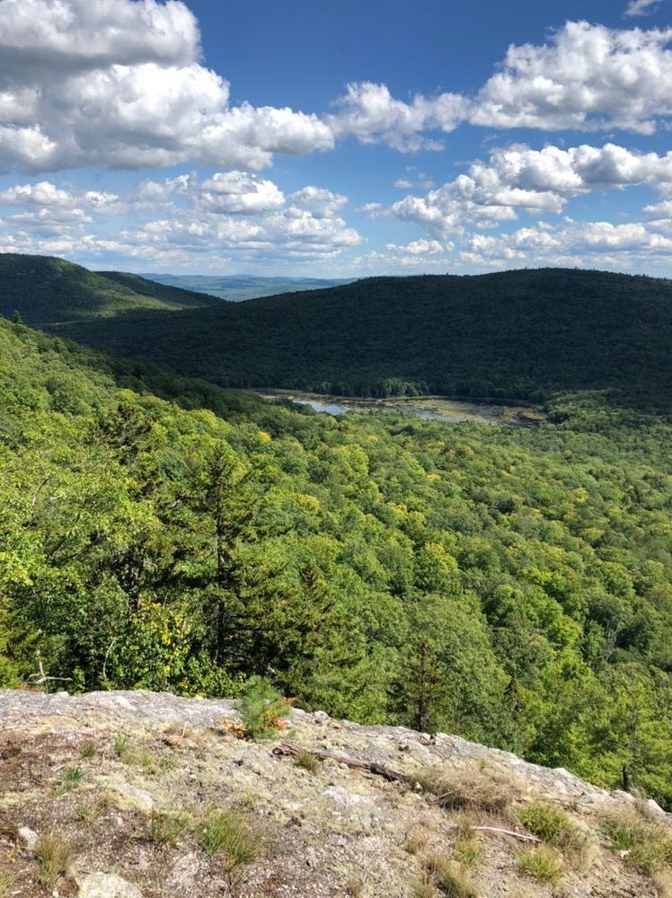
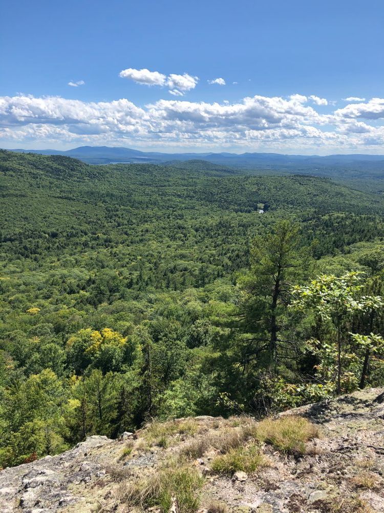
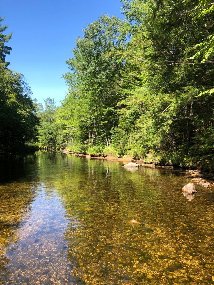
The Deer Hills Trail crosses Cold River over a concrete dam before passing the junctions with Leach Link Trail and Deer Hills Bypass. The trail continues straight ahead and climbs moderately before crossing over ledges and reaching the summit of Little Deer Hill. There are two trails that descend to join the Deer Hills Bypass or continue on the Deer Hills Trail to the summit of Big Deer Hill. From the summit of Big Deer Hill the trail continues down the south ridge which provides several fine outlooks before meeting the junction with the Deer Hills Bypass. From here, take the Deer Hills Bypass to the Baldface Circle trailhead or continue south to the western terminus of the Deer Hill Trail on Deer Hill Road. There are several trails that access the Deer Hills, allowing for a multitude of loop opportunities of varying distances.
Visit the White Mountain National Forest online for more information or contact:
White Mountain National ForestThis trail can be accessed from the east or west, with the western trailhead being the most commonly used access.
Western Trailhead: Follow ME Route 113 either 17.5 miles north from Fryeburg or 12.5 miles south from Gilead, and look for the Baldface Circle Trailhead on the eastern side of the road. From here, the Deer Hill Connector links the parking lot with the Deer Hills Trail.
Eastern Trailhead: Take Windgan Road, which leaves ME Route 113, 0.7 miles south of the Baldface Circle Trailhead described above. Take Windgan Road east 1.3 miles (becomes Shell Pond Road/Evergreen Valley Road) to where the trail connects on the northern side of the road. Park on the side of the road.
Success! A new password has been emailed to you.