This is a guest post written by Enock Glidden, MTF Accessibility Ambassador, Public Speaker, Adaptive Athlete, and Adventurer. To learn more about Enock, please visit his website.
Hey fellow hikers! I got to hang out with my friends at Loon Echo Land Trust today. I checked out their Mayberry Hill Preserve in Casco. Wow! What a beautiful place. They are putting in a lot of time, effort and money into making their preserves as inclusive as possible.
I am also using a new app to give you better information about trails from here on out. For the loop at Mayberry Hill, the length is 0.44 miles and the steepest grade is 5%. What that means is the angle of the steepest incline is about 3 degrees. That's not to say I didn't have any trouble on this trail. There were a couple of moments of difficulty.
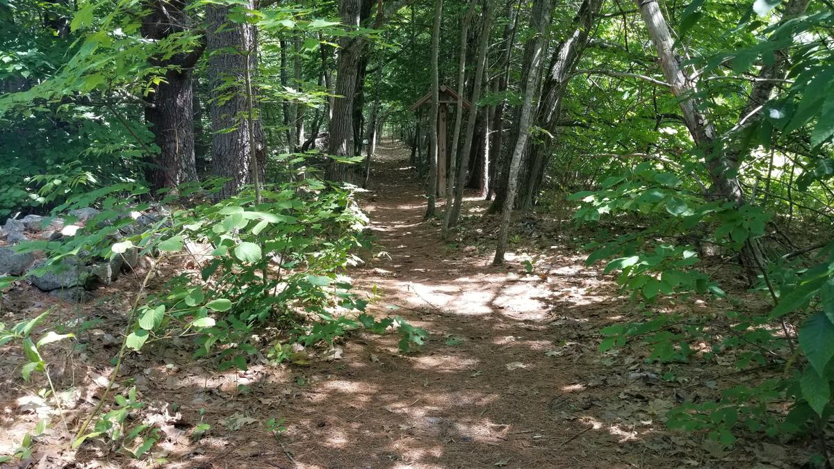
The loop I checked out starts at the trailhead and is part of the Mayberry Hill loop. The first section of the trail is very good already. There are very few roots and the trails are nice and firm. I had very little trouble rolling along.
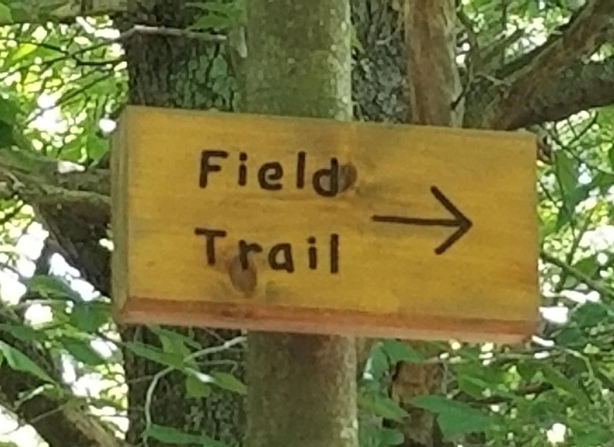
About 400 feet into the trail you will see the field trail sign. You can turn right here and proceed into the field.
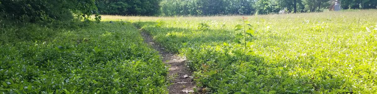
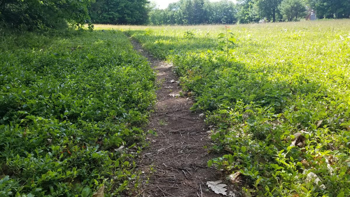
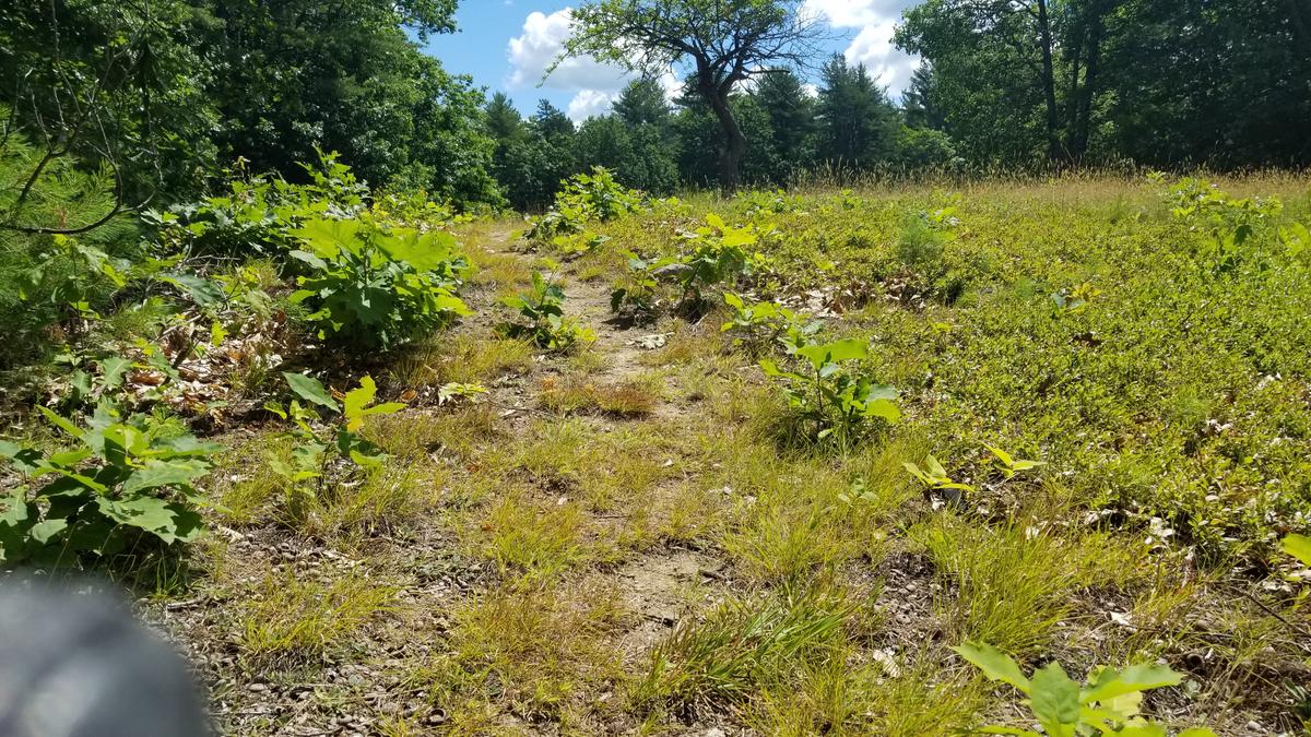
The field trail is much narrower than the Mayberry Hill Loop. I was able to straddle the trail with my wheels. The terrain was still quite easy to roll along. However, the blueberry bushes provided some resistance. I have never seen blueberries this easy to access in a wheelchair. This is going to be a prime blueberry picking spot when the trail is upgraded -- I'll race you to them haha!
Just after the blueberries, I found the hardest incline of the day. The surface gets a bit soft and the terrain is steep, but only for a few feet. I did a switch back into the blueberries for maybe five feet and was able to go around the incline.
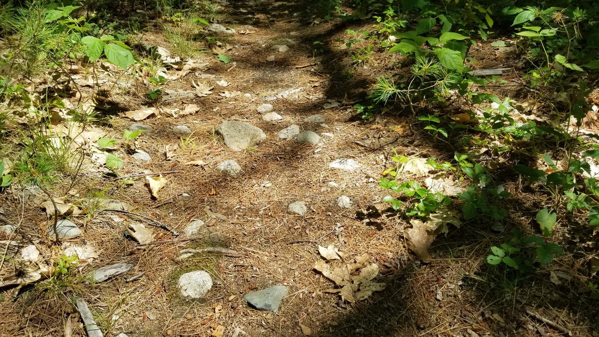
The trail makes its way back into the woods where the terrain is very similar to the start. There are some larger roots over two inches in height from the ground on this section, but the trail is wide enough to be able to go around them. There are also a few rocks in this area. They are also easily circumnavigated.
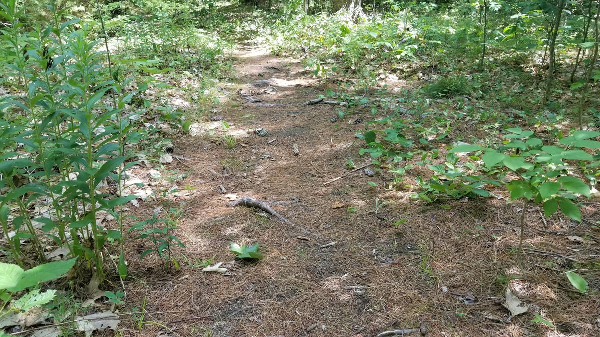
The trail starts to go uphill for a long distance at this point. It is only a maximum of a 4 percent grade or about 2 degrees. I didn't find it difficult at all other than the roots.
Once you make it back out to the Mayberry Hill Loop section the trail turns to the left. The end of the trail is very easy as it's firm, wide, stable, and slightly downhill.
This is a short blog since the trail is quite short as well! I am rating this trail Wheelie Easy in the beginning then Wheelie Moderate in the field. It stays moderate until meeting back up with the Mayberry Hill Loop. I am giving it this rating because of the one steep soft incline and the roots in some sections. I hope you can get out and try this one. Let me know what you think and I will pass it on to the folks at Loon Echo Land Trust.
This year I am hoping to get some group or one on one hikes together. I would love to interview other people with disabilities about their experiences in the outdoors. The more perspectives we can get the better the information will be and the more progress we can make.
If you have a different type of mobility issue or a different disability and you visit this trail or others, please comment on this post and give us your feedback. The more knowledge we gather and share, the more people we can get outside using the trails of Maine!
Success! A new password has been emailed to you.