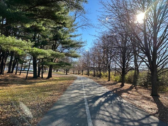
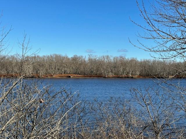
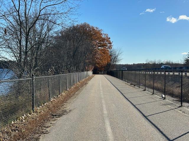
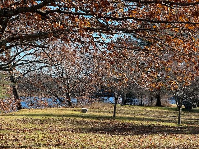
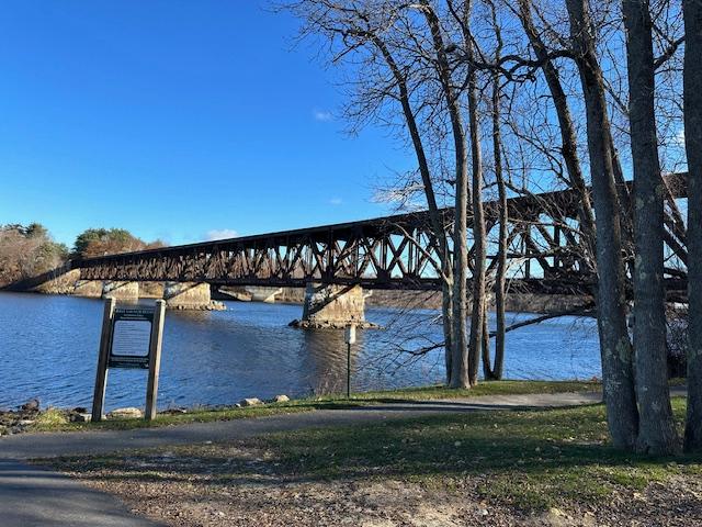
The bike and pedestrian path is a paved way along the Androscoggin River. The path offers scenic overlooks of the river while providing a connection between in-town Brunswick and the Cook’s Corner area. Much of the path runs along US-1.
The path is 14 feet wide, with dedicated lanes for cyclists and for walkers. The paved, flat surface is also suitable for strollers, wheelchairs, and those with mobility challenges. Granite and wooden benches along the path provide places on which to stop and rest or simply to take in the view.
The path is plowed and sanded in the winter, providing four-season access.
This trail is part of the East Coast Greenway, a bike and pedestrian trail running from Maine to Florida.
For additional information, visit the Town of Brunswick website, or contact:

Know the Rules and Be Prepared: Research local regulations, including permits and fire restrictions, on sites like Visit Maine. Pack plenty of food, water, and the other Ten Essentials before heading out on your adventure.
WATER STREET / WEST END
From Maine Street in downtown Brunswick, take a right at the lights onto Mason Street. Coming from Topsham, take a left at the lights onto Mason Street just after passing over US-1. Go 0.1 miles on Mason Street then take a left onto Water Street. Go 0.6 miles to nearly the end of Water Street. There is a parking lot on the left just before the boat ramp; the trail begins under the bridge ahead.
GROVER LANE / EAST END
From US-1, take the exit for Cook's Corner in Brunswick. Merge onto ME-24/Gurnet Road, and immidiately take a left at the lights onto Bath Road. Go 0.2 miles, and at the second set of lights turn left onto Old Bath Road. Go 0.3 miles, passing over US-1, and take a sharp left onto Grover Lane. Go 0.2 miles to the end of Grover Lane. There is a parking area to the left; the trail begins straight ahead.
Success! A new password has been emailed to you.