Old River Road Trail (9.5 miles one way): This trail forms a central corridor on the Turner parcel, popular with ATV users, snowmobilers, bicyclists, horseback riders, and hikers.
Porcupine Trail: From the northern trailhead, head south and take the first left onto the Porcupine Trail, a 1.5-mile singletrack mountain bike trail that leads to the Picnic Meadow. This easy to moderate trail includes switchbacks and a bridge. Hikers may also enjoy this trail, but be aware of approaching bikers.
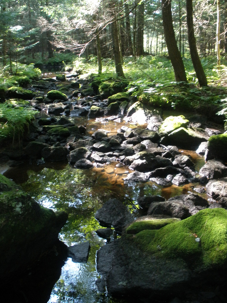
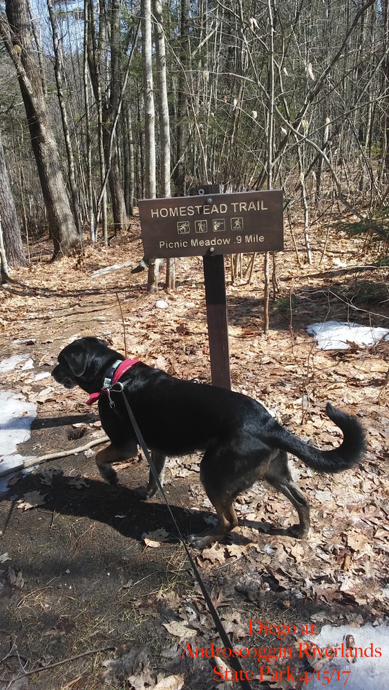
Homestead Trail (4.5 mile total loop, with 2.6 mile option, allow three hours for full loop): Provides riverside hiking from the northern parking lot to the Picnic Meadow (1.1 mi), where you can take the Harrington Path (0.5 mi) and Old River Road trail back to the parking area (1.0 mi). To extend your hike, continue south on the trail past Picnic Meadow to the juncture with the Old River Road Trail that leads back to the main entrance (1.8 mi).
Ridge Trail (6.85 miles, allow 4 hours for hiking): Follow the extended Homestead Trail to the Old River Road Trail (2.0 mi). Turn left, proceed over a bridge, turn right and continue up to a ledge outcrop overlooking the river (1.0 mi). Turn left and descend steeply toward the river on the Ledges Trail (0.4 mi). Turn left on the Old River Road Trail and return 2.25 miles to the Picnic Meadow and on the parking area via the Homestead Trail (1.1 mi). Shared uses include mountain biking.
Deer Path Trail (8.0 miles round trip from the main parking area; allow five hours for hiking): Accessed by foot only, following Ridge Trail, but heading right at the Ledge Overlook on the Ridge Trail, then following a portion of the Bradford Loop ATV Trail (0.5 mi) to the juncture, on the right, of the Deer Path hiking trail. At 1.5 miles, bear right at a fork onto Fox Run Trail and follow 0.5 mi to Old River Road Trail. Return via the Homestead Trail (2.0 mi).
Bradford Hill Trail (Variable length trips starting at 9.6 mile loop): Offers hiking from the Conant Road entrance. Follow the Old River Road Primitive Trail approximately 3.8 miles, turn left onto the Bradford Hill Trail, then turn right on the Bradford Loop Trail and follow the Old River Road Primitive Trail back to the parking area.
Pine Loop Trail (5.7 mile round trip, allow 4.5 hours hiking time): From the Conant Road parking lot, this riverside trail runs along the southern end of the park. Hike along the Old River Road Primitive Trail 1.6 miles, veer right to reach the Pine Loop Trail. Shared Uses include mountain biking.
View BPL's map and guide for the Androscoggin Riverlands.
When spending time outdoors, please be prepared with extra clothing and appropriate footwear, map and compass, and adequate water and food. Inform someone where you are going and when you expect to return.
Pets are allowed in the park only on a leash. Please be respectful of neighboring boundaries.

This trail passes through a property that was acquired in part with funds from the Land for Maine’s Future program. For more information about the LMF program and the places it has helped to protect, please visit the LMF webpage.

This trail was made possible in part with funds from the Maine Outdoor Heritage Fund (MOHF). For more information about MOHF and the wildlife and conservation projects it has contributed to, please visit the MOHF webpage.
Visit Maine Bureau of Parks and Lands online for more information and a detailed trail guide or contact:
![]()
Use Water to Drown Your Fire: Fully extinguish fires with water before you leave.
Travel Route 117 east from Turner about 2 miles, turning right at a fork just before a four-way intersection. Continue onto Center Bridge Road and proceed another 2 miles to the parking lot on right just before the Turner boat launch. There is a small parking area for walk-in access at the southern end of the Park off Conant Road.
Success! A new password has been emailed to you.