The trail begins on Beaverdam Road Trail, travelling through the woods on an old road. After 0.6 miles the trail emerges on blueberry barrens. Here the trail meets up with the Blueberry Trail, which splits off in both directions circling the barren. This loop is 0.6 miles in length.
From the Blueberry Trail, The Connector Trail offers a 0.4 mile spur through the woods to the west. The Old Hayward Road Trail branches off from the Blueberry Trail to the south, going 0.1 miles across fields before meeting up with the 0.2 mile Hunter's Trail, an old road going both east and west from the trail junction to the property's boundaries.
The Blueberry Trail circling the blueberry barren and the Connector Trail to the west are open to snowmobiles in the winter.
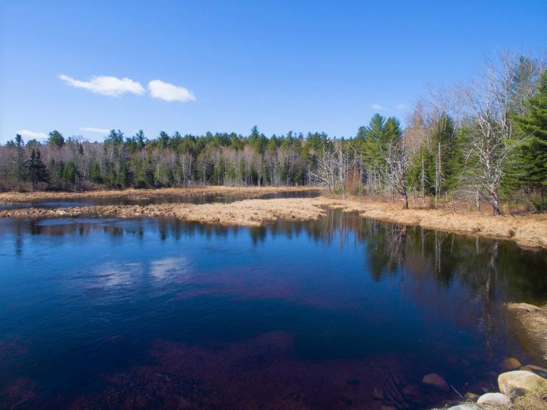
This is a sensitive area; visitors are asked to stay on the trails, avoiding the stream habitat itself, and to refrain from picking blueberries from the organically managed barren.
For more information, please visit the Downeast Salmon Federation Website, or contact:
![]()
Avoid Trampling Fragile Areas: Vegetation and soils in Maine’s alpine zones and coastal islands can take years to recover from a single step.
The trailhead is at the north end of the network. From the intersection of ME-9 and ME-192, go east on ME-9 for 2.5 miles, and the trailhead is on the left.
Success! A new password has been emailed to you.
Trail map shown here is the gravel road and the road is chained off on the end of the blueberry field - not passable to vehicles.
I will be going there again and seeing if the loop around the field is walkable.
Nice little falls spot with the picnic table up on the small hill above it.