Bethel Community Forest & Bingham Forest - Biking Trails

Over 16 miles of MTB trails include singletrack, doubletrack, and gravity bike trails are easily accessed near the village center, and connect to Sunday River trails.
Trail Activity
Mountain-biking
Length
16.20 miles, Network
Difficulty
Easy, Moderate, Advanced
Towns
Bethel, Newry
Surface
Dirt/Forest Floor
Pets
Permitted
Fees
No

Description

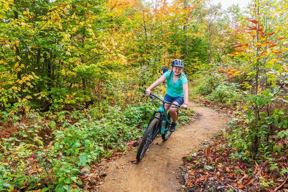
The Bethel Community Forest and Bingham Forest offer recreational trails, wildlife habitat, a setting for educational programs, and are managed for sustainable timber harvesting. The trails connect to the trails at the Sunday River Ski Resort to the north, and are easily accessed from the nearby the Bethel village. 

6.79 miles of singletrack trails include:

  • Flux - easy/intermediate, two-way traffic, 0.74 miles
  • Ghost -  easy, two-way traffic, 0.76 miles
  • Phoenix - easy/intermediate, two-way traffic, 1.21 miles
  • Tribute - intermediate, one-way traffic,1.95 miles
  • Gulley-Verse Travels, intermediate, one-way traffic, 0.8 miles
  • Lynx - intermediate, two-way traffic, 0.1 miles
  • Limbo - easy, two-way traffic, 0.4 miles
  • Kitty Litter - easy/intermediate, two-way traffic, 0.3 miles
  • Whiskers on Kittens - intermediate, two-way traffic, 0.5 miles

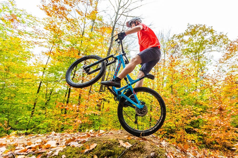
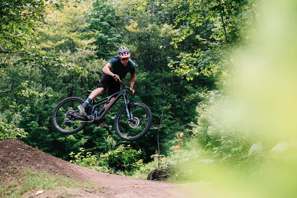
1.79 miles of gravity bike trails include:

  • Parietal - difficult, two-way traffic, 0.5 miles
  • Maxilla - extremely difficult, one-way traffic, 0.22 miles
  • Humerus - extremely difficult, one-way traffic, 0.67 mi

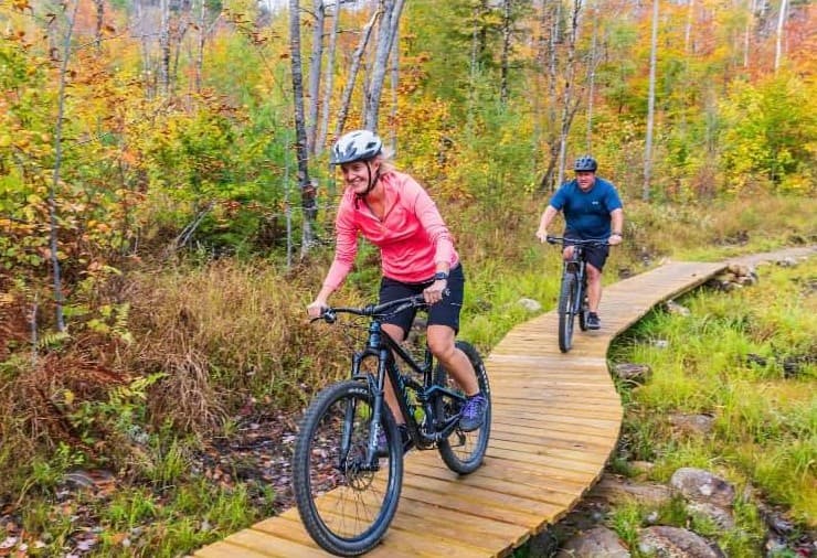
7.62 miles of doubletrack, multiuse trails include:

  • Summit Access Road - 1.36 miles
  • #13 Snowmobile Trail - 1.8 miles
  • Old County Road - 0.95 miles
  • Knoll Road - 0.41 miles
  • Boundary Brook Road - 0.49 miles
  • Upper Community Access Trail - 0.61 mi
  • Middle Community Access Trail - (Flux to Summit Access Road) .3 mi
  • Lower Community Access Trail - (North Road to Locke Mountain Road) 1.6 mi

Other Information

RULES

  • Mountain bikes have the right-of-way on single track bike trails.
  • Dogs allowed on leash or under voice command on all trails.
  • Bikes are not allowed on hiking-only trails.
  • Authorized vehicles may be present at any time on all double track roads and pathways.
  • Motorized vehicles are prohibited on all trails except for snowmobiles on the snowmobile trail in the BCF and Bingham Forest.
  • Snowmobiles have the right-of-way on the #13 snowmobile trail.
  • Active forestry may be occurring at any time.
  • Overnight camping is prohibited.
  • Open fires are not permitted.
  • Park in designated parking spots only; do not block the gate if closed and do not park along Daisy Bryant Road.
  • Carry out all litter, including pet waste.

Trail Manager

For additional information, visit the Inland Woods + Trails website, or contact:

Inland Woods + Trails

Inland Woods + Trails
PO Box 572
Bethel, ME 04217
Phone: 207.200.8240
info@woodsandtrails.org
View website

Nearby Events

VIEW EVENTS CALENDAR

Trail Tips

Dispose of Waste Properly
Dispose of solid human waste in a cathole 6-8 inches deep and at least 200 feet from water, camp, or trails. Don't forget to cover it up when you're done!
Legend
Hide All

Trailhead Information

From Bethel, take US-2 E, and immediately after crossing the Androscoggin River take a left on North Road. From Rumford, head west on US-2 for 22 miles, and just before the Androscoggin River on US-2, take a right on North Road.

Follow the North Road 2 miles to where the road takes a sweeping 90 degree turn to the west. At the beginning of this corner merge slightly right onto Daisy Bryant Road, go 0.2 miles, and turn right on Locke Mountain Road. Passing through the gate follow the single lane Locke Mountain Road for 0.6 miles until reaching the parking lot at the end of a field. The trail starts in the northeast corner of the parking lot. 

The GPS address is 121 Locke Mountain Road in Bethel.

Addtional parking is available at the trailhead for the Community Access Trail (CATS), at 305 North Road, 1.4 miles west from US-2.

Click on a parking icon to get custom directions
Please Log In or Create Account to add comments.
These awesome businesses support our goal of connecting people to outdoor adventures in Maine!
Hang Tight!
Nearby services are loading
No Results
No Services Found
SHARE THIS TRAIL

Add Trail Log

Please wait…
Join In on the Fun!
Log in or create an account below to unlock all the great features of Maine trail finder: keep track of trails you want to do, preserve memories of trails you’ve done, earn badges, and more!
Your log in attempt was not successful. Please try again.
    Lost your password? Reset your password
    Don't yet have an account?
    There was an issue with your submission. Please try again.
      * Indicates required field
      Already have an account? Login here
      Enter your username, and we will send you a new, randomly generated password to your email account.
      There was an issue with your submission. Please try again.

        Success! A new password has been emailed to you.

        Log in now

        Please wait…