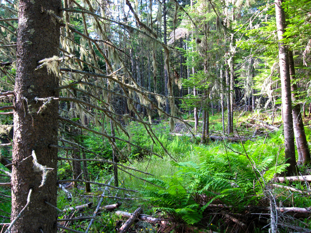
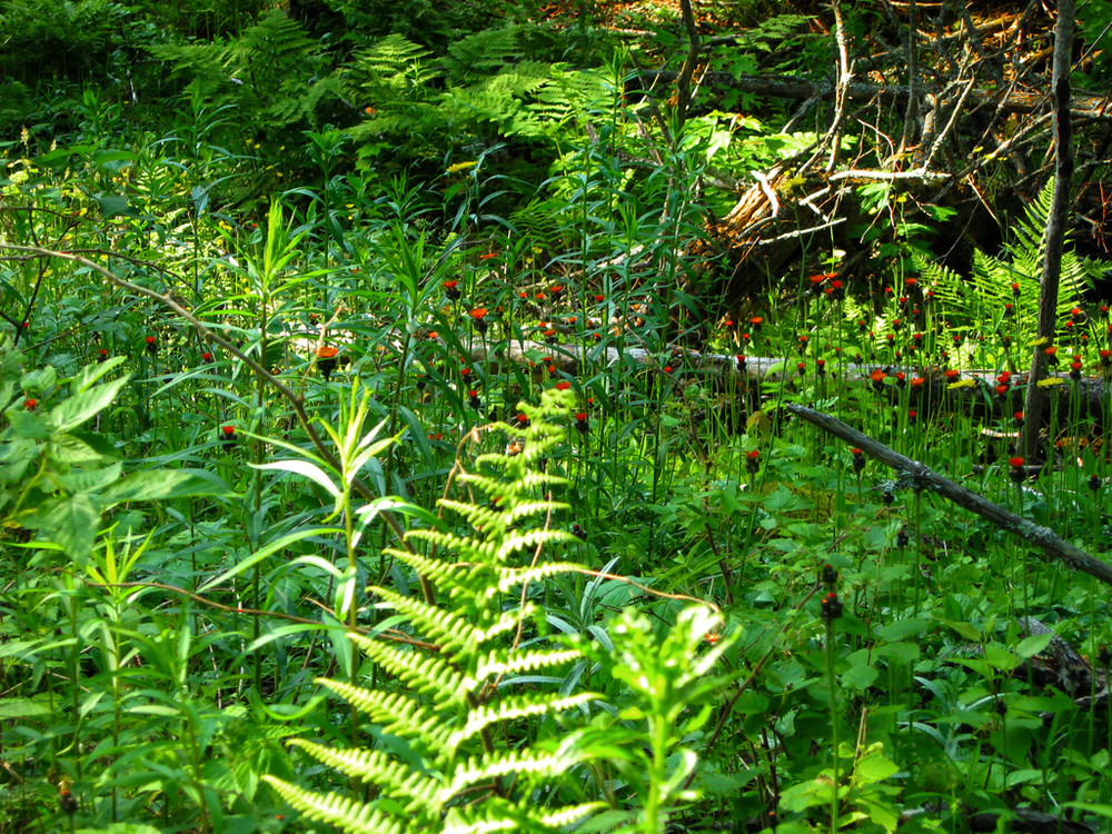
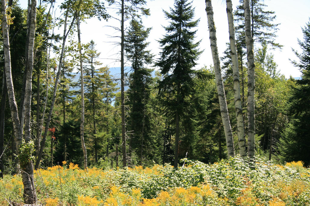
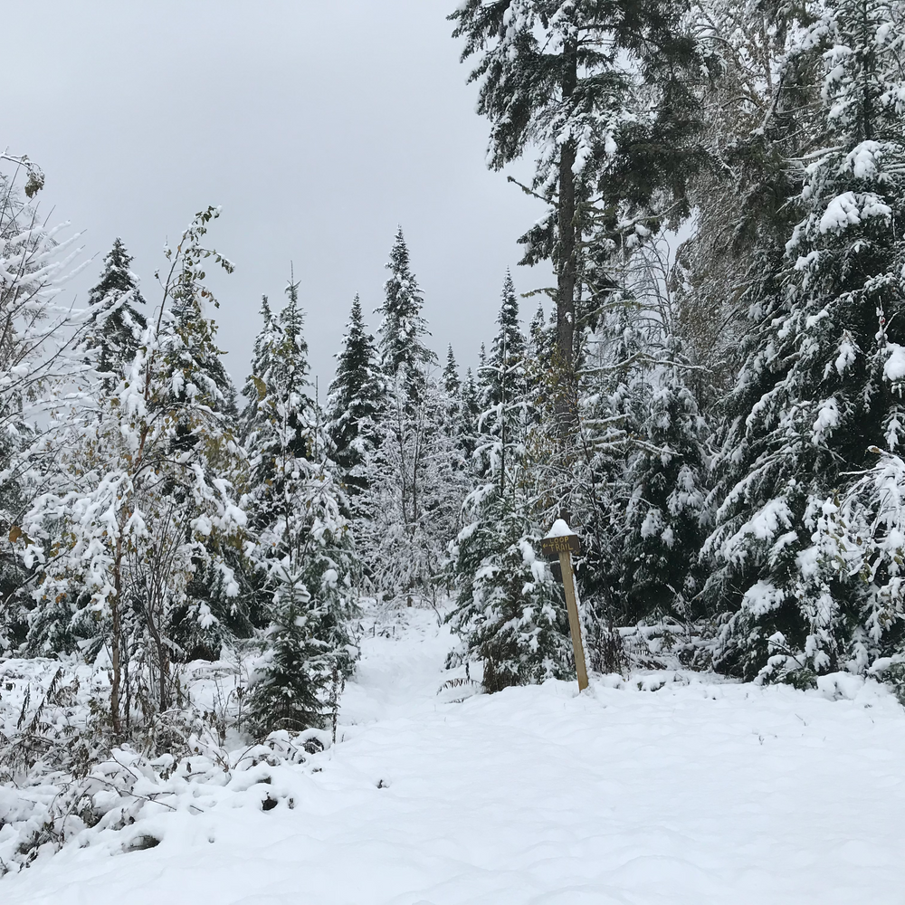
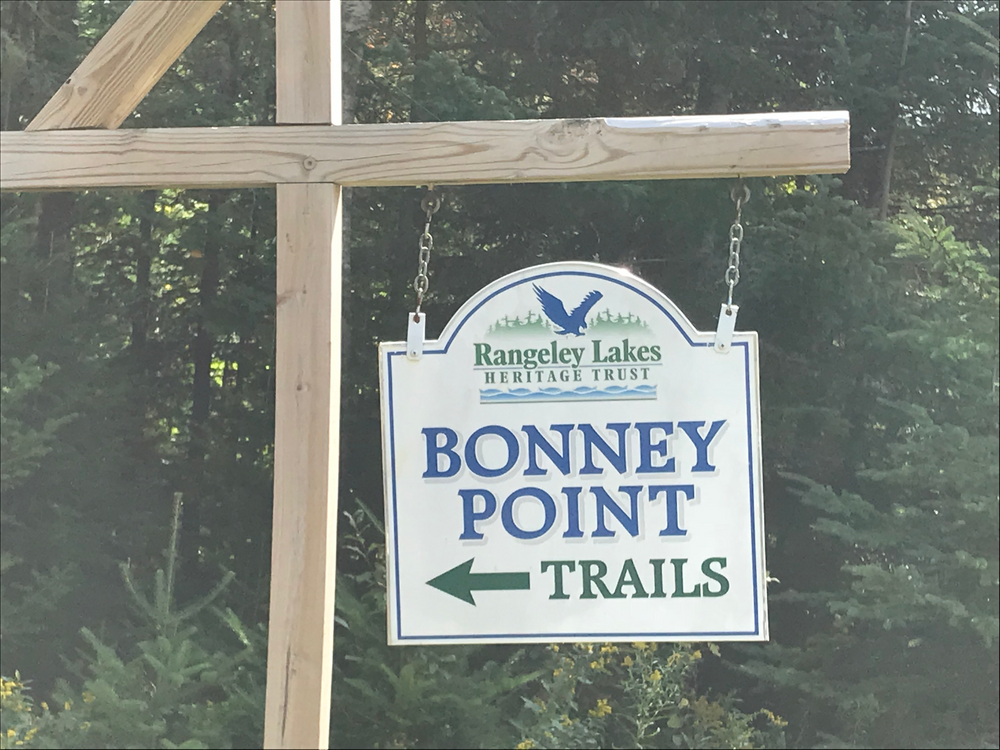
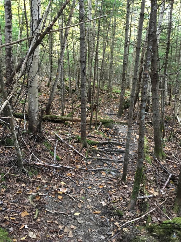
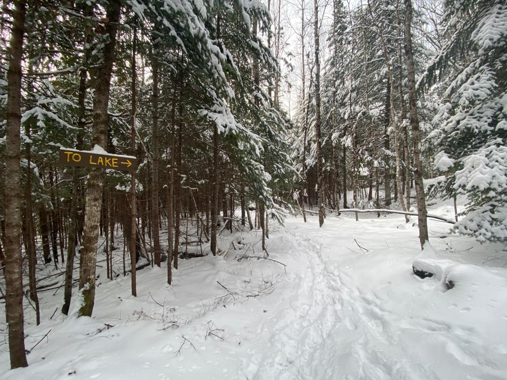
Bonney Point was purchased by the Rangeley Lakes Heritage Trust in 2001. Although the 280-acre property is primarily forested, evidence of its agricultural history can be seen in its meadows, old stone walls, wire fencing, and livestock watering wells. With over a half-mile of frontage on Rangeley Lake, the property hosts diverse habitats for song birds, wading birds, amphibians, beaver, bear, deer and more. In late summer, the fields produce an abundance of wildflowers and berries enjoyed by hikers and many types of wildlife.
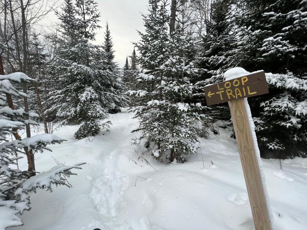
As with all Rangeley Lakes Heritage Trust properties, there is a carry-in, carry-out policy. Owners are responsible for cleaning up after their pet. Be sure to bring your field guides! Additional information and a map of the property may be found on RLHT's website.
Visit Rangeley Lakes Heritage Trust online for more information, or contact:
![]()
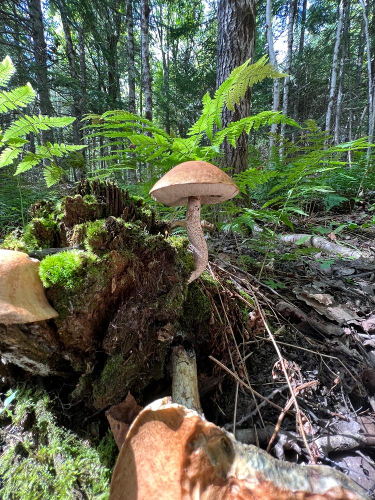
If You Pack It In, Pack It Out: Carry out all trash, including food scraps and biodegradable waste like fruit peels. Bonus points for packing out trash you find along the way.
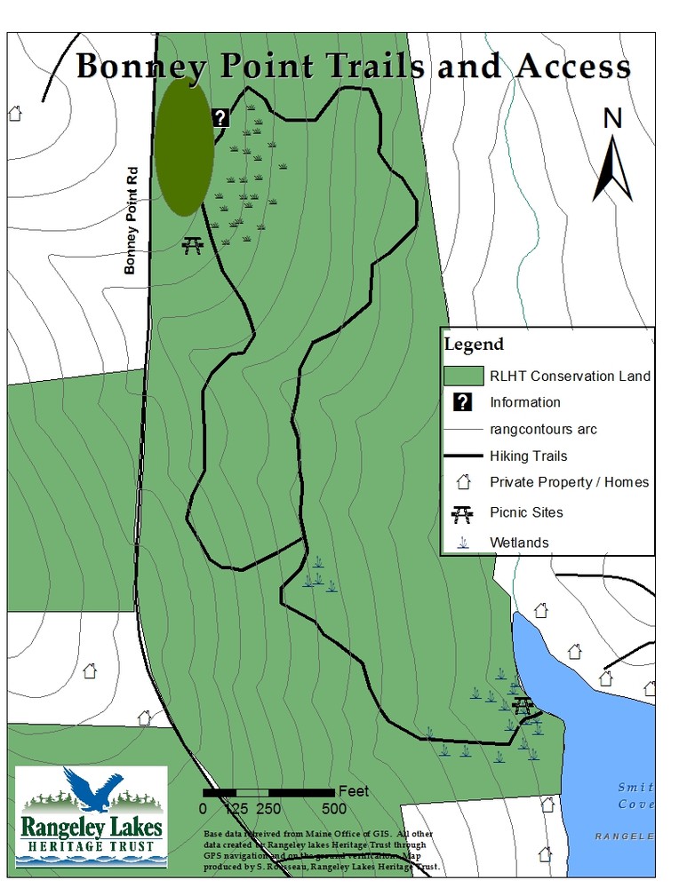
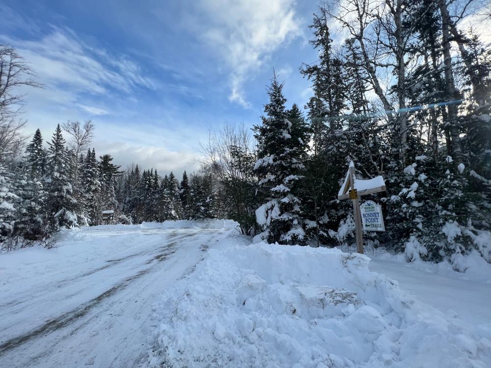
From South: Follow ME Route 4 North for 5.0 miles beyond the intersection of ME Routes 4 and 16 in downtown Rangeley; take a left onto the Bonney Point Road; continue for approximately 0.75 miles to the parking area. Trailhead is on the left.
From North: Follow ME Route 4 South for 1.5 miles beyond the intersection of ME Routes 4 and 16 in Oquossoc Village, Rangeley; take a right onto the Bonney Point Road; continue on the road for approximately 0.75 miles to the parking area. The trailhead is on the left.
Success! A new password has been emailed to you.