Bonyun Preserve

This trail on Westport Island highlights the Sasanoa River Estuary, tidal inlets, mixed old-growth woods, and freshwater marshes.
Trail Activity
Snowshoeing Walking Hiking
Length
1.70 miles, Loop
Difficulty
Easy, Moderate
Town
Westport Island
Surface
Dirt/Forest Floor, Rock/Ledge
Pets
Not Permitted
Fees
No

Description

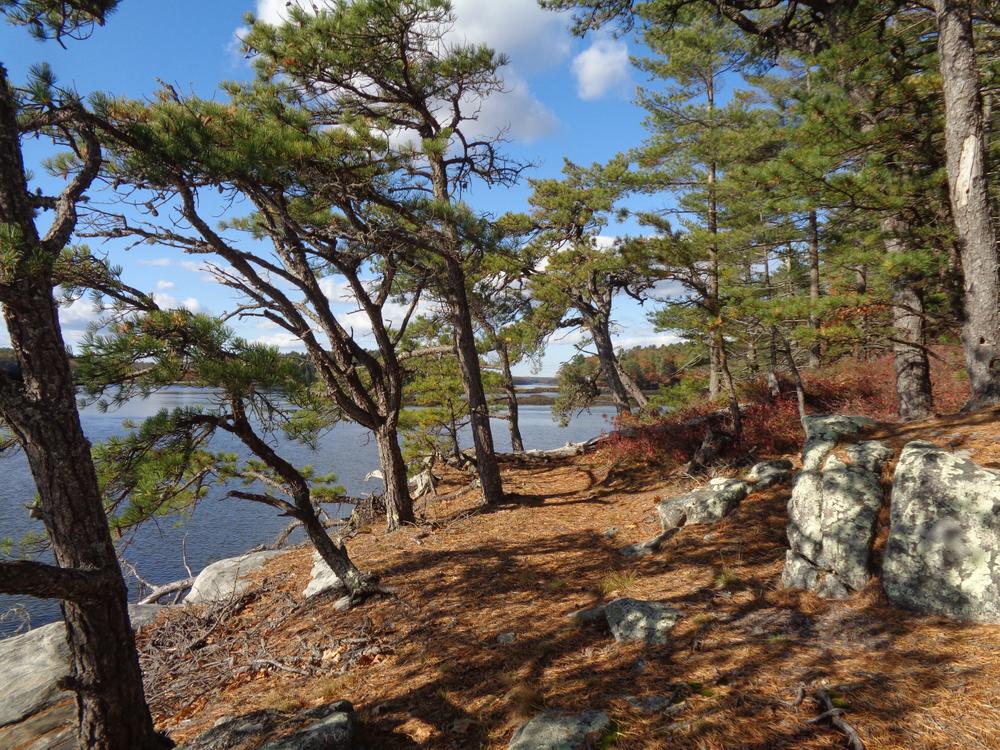
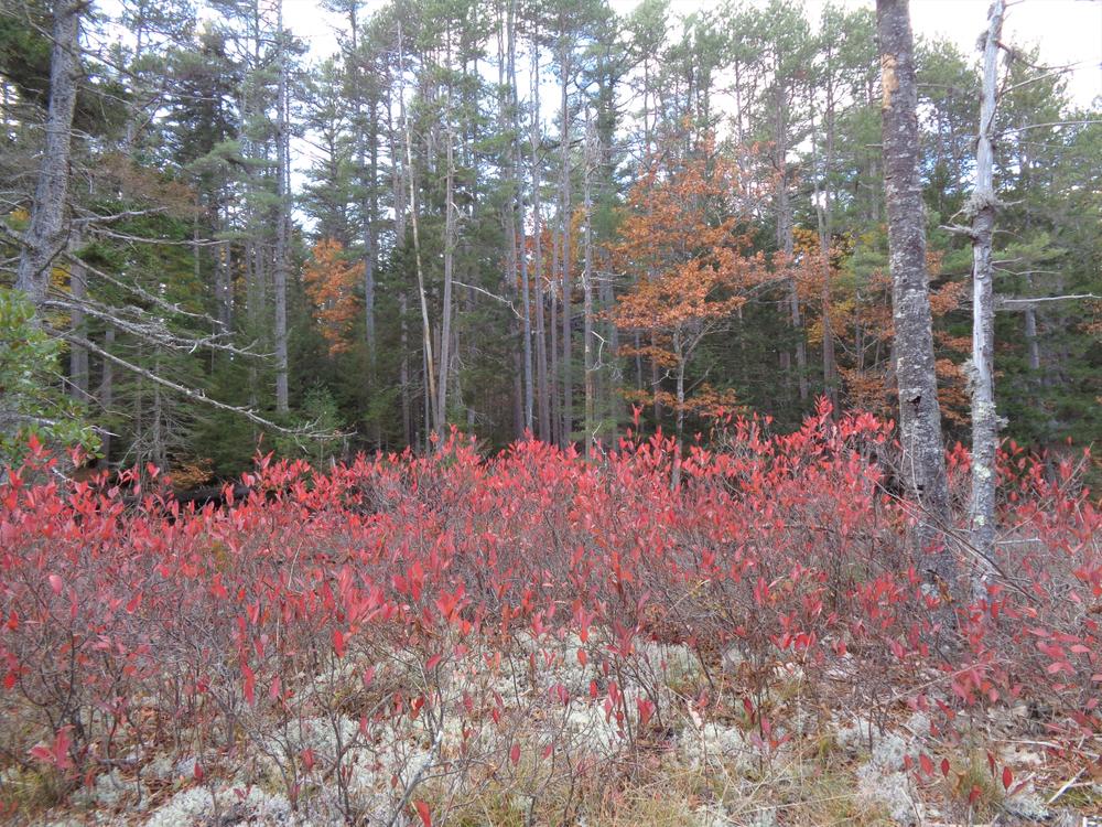
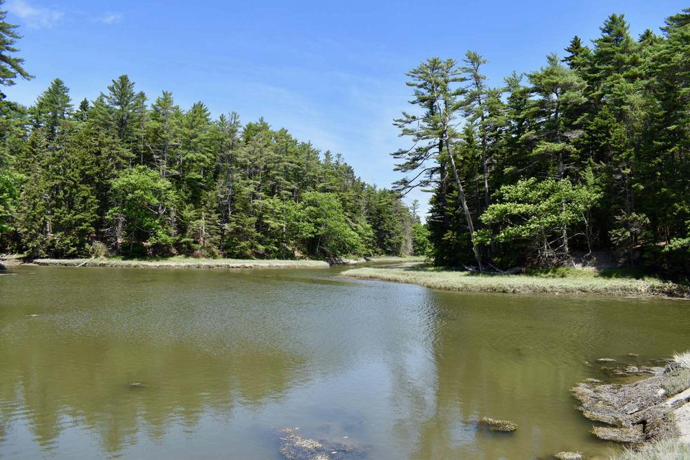
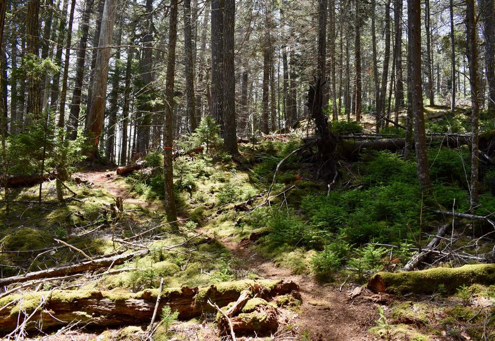
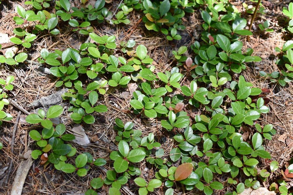
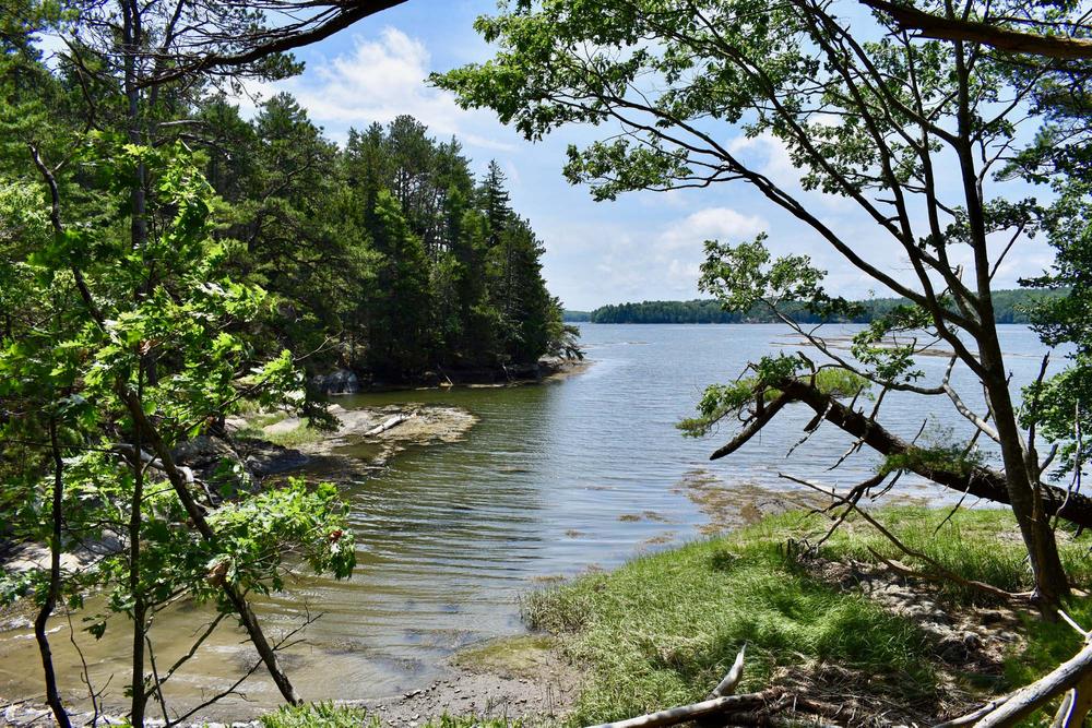
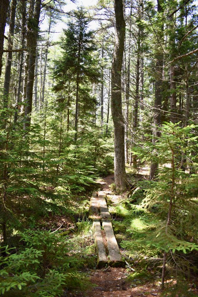
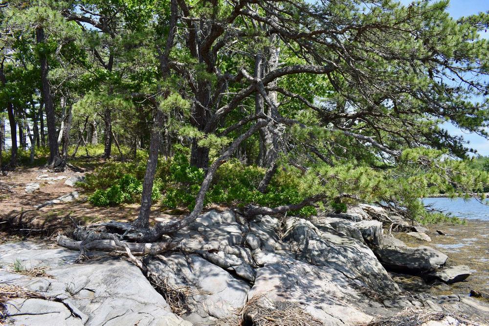
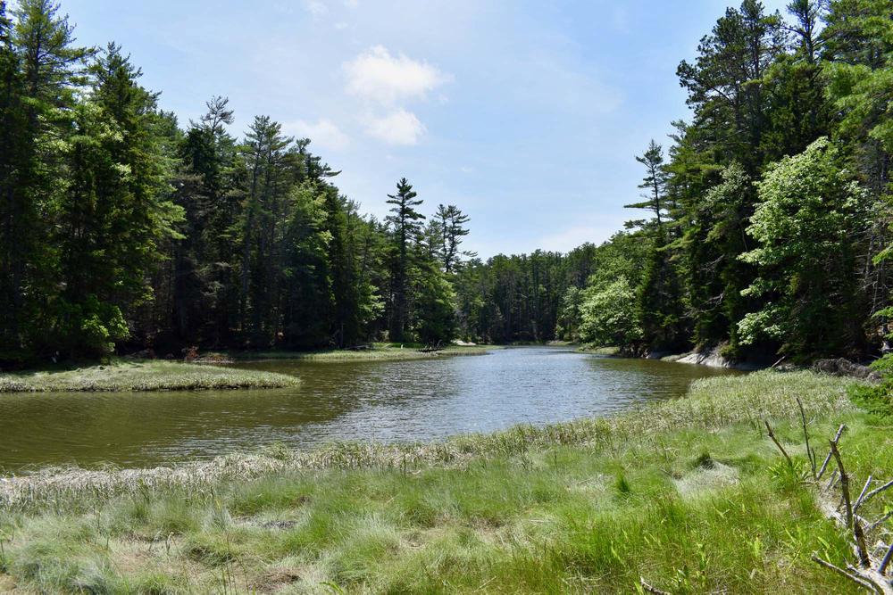
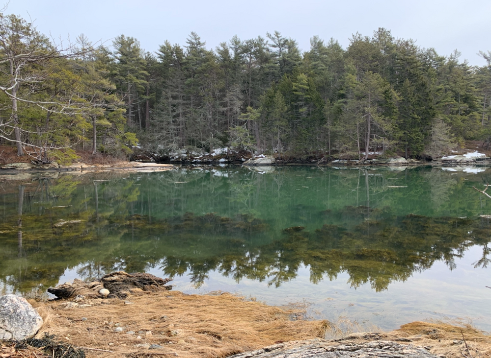
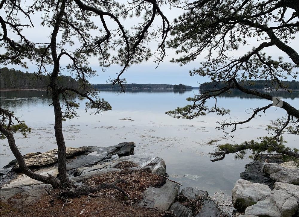
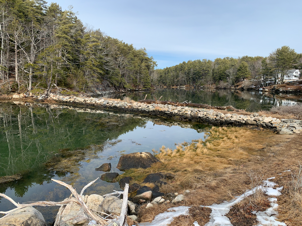
Walking the trails at Bonyun Preserve, you will see a variety of natural areas that support diverse flora and fauna.  A tidal inlet on Mill Cove’s salt marsh supports wading birds such as snowy egret and great blue heron, as well as migrating shorebirds. Mixed old-growth woods of white pine, oak, and hemlock are habitat for woodpeckers and songbirds.

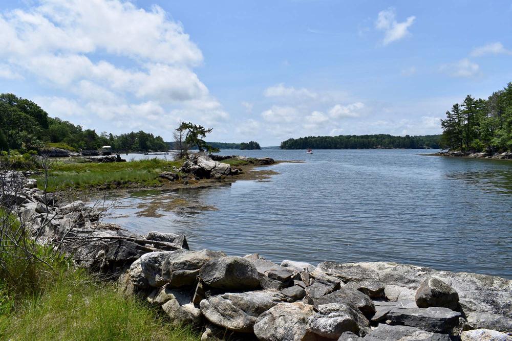
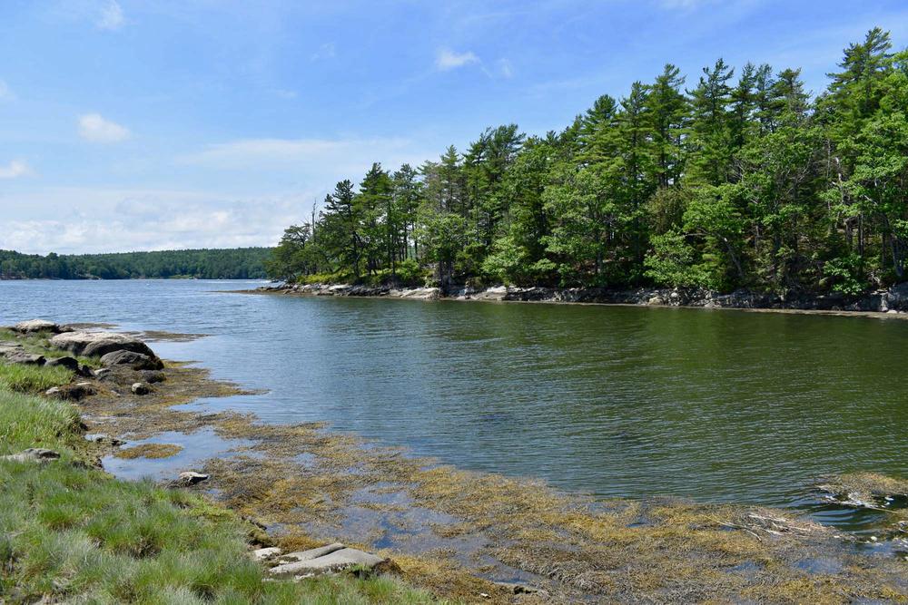
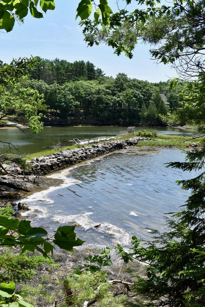
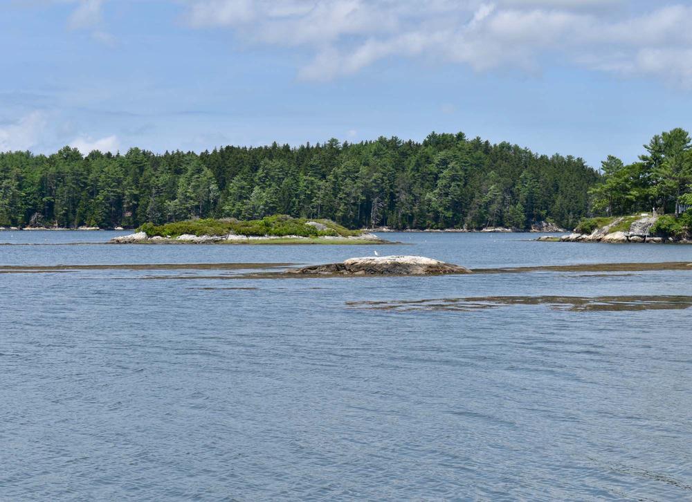
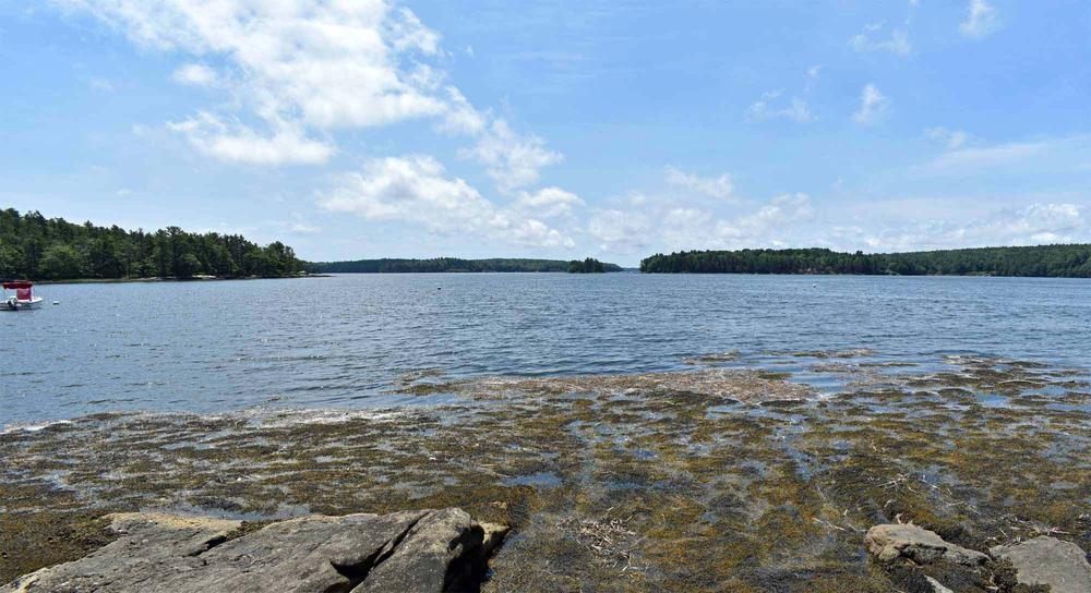
Sasanoa River Estuary is part of the Kennebec-Androscoggin watershed, which drains one-third of the state into the Gulf of Maine. The estuary is a nationally-recognized habitat for birds and fish. This section of the East Coast flyway is essential for the survival of migrating birds. Over 40 species of fish use these waters including striped bass, Morone saxatilis.

Historically, tidal mills used to be common to Westport Island performing many functions including sawing wood and grinding meal.  A new interpretive sign has been added to the Bonyun Preserve Mill Cove trail showing what the historic Lower Heal Mill, of which only the dam and pilings remain today, looked like when in operation in 1850.

Other Information

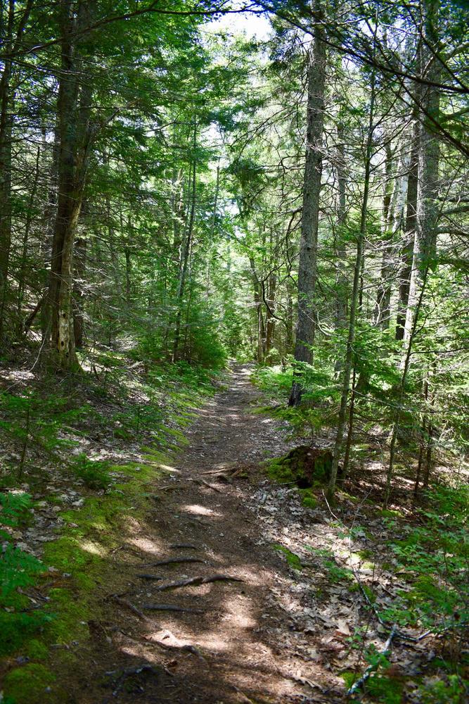
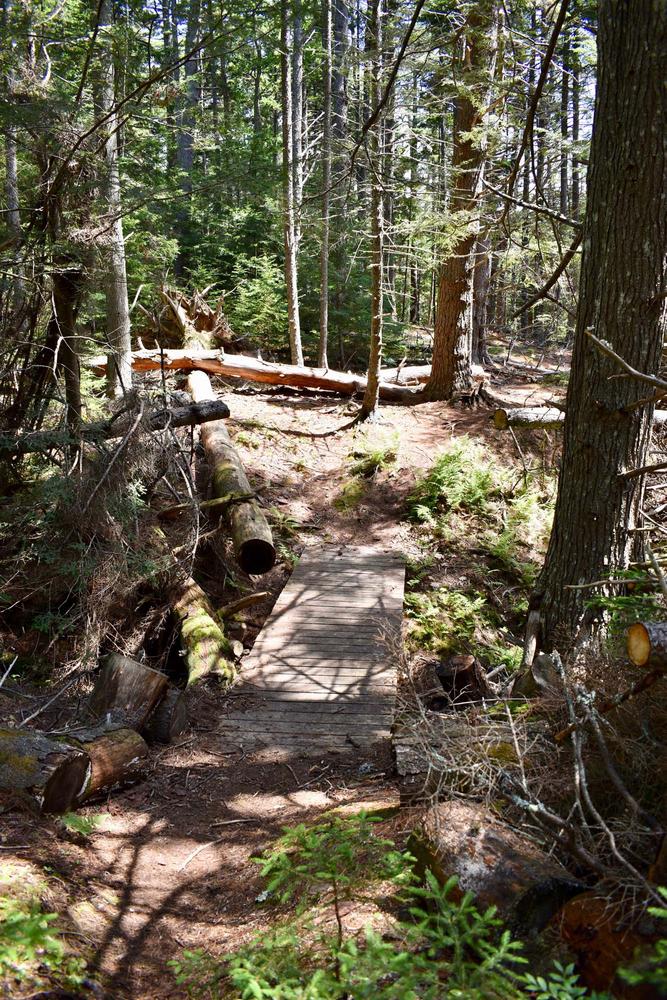
Bonyun Preserve is conservation land managed primarily for the preservation of wildlife. The Preserve is open free of charge to the public from dawn to dusk. Help us protect what you have come to enjoy. Natural areas are delicate. Foot traffic only. No camping, fires, pets, bicycles, or motorized vehicles. Please respect boundary signs and enjoy your visit.

Trail Manager

Visit Kennebec Estuary Land Trust online for more information or contact:

Kennebec Estuary Land Trust

Kennebec Estuary Land Trust
PO Box 1128
Bath, ME 04530
Phone: (207) 442-8400
info@kennebecestuary.org
View website

Nearby Events

VIEW EVENTS CALENDAR

Trail Tips

Dispose of Waste Properly
Wash your dishes at least 200 feet away from water sources, use biodegradable soap sparingly, and scatter the dishwater.
Legend
Hide All

Trailhead Information

From US Route 1 between Woolwich and Wiscasset, take ME Route 144 south 10 miles to its second intersection with West Shore Road. Turn right on West Shore Road, and go 0.25 miles to the parking lot and kiosk on left. Trails are marked.

Click on a parking icon to get custom directions
Please Log In or Create Account to add comments.
trail hound
July 22, 2020
I have done over 100 trails and this is one of my favorites!!
bethw7
July 08, 2020
This is one of my favorite trails in the midcoast. It's so quiet, lovely, with varied terrain. It's a nice walk through the woods with sweeping views of the river and coves. I think I could sit on Thomas Point for hours and just take in the fresh air and sound of water lapping on the rocks.
daclifford
March 29, 2020
Enjoyed this trail in Oct 2019. Such a beautiful and peaceful place.
These awesome businesses support our goal of connecting people to outdoor adventures in Maine!
Hang Tight!
Nearby services are loading
No Results
No Services Found
SHARE THIS TRAIL

Add Trail Log

Please wait…
Join In on the Fun!
Log in or create an account below to unlock all the great features of Maine trail finder: keep track of trails you want to do, preserve memories of trails you’ve done, earn badges, and more!
Your log in attempt was not successful. Please try again.
    Lost your password? Reset your password
    Don't yet have an account?
    There was an issue with your submission. Please try again.
      * Indicates required field
      Already have an account? Login here
      Enter your username, and we will send you a new, randomly generated password to your email account.
      There was an issue with your submission. Please try again.

        Success! A new password has been emailed to you.

        Log in now

        Please wait…