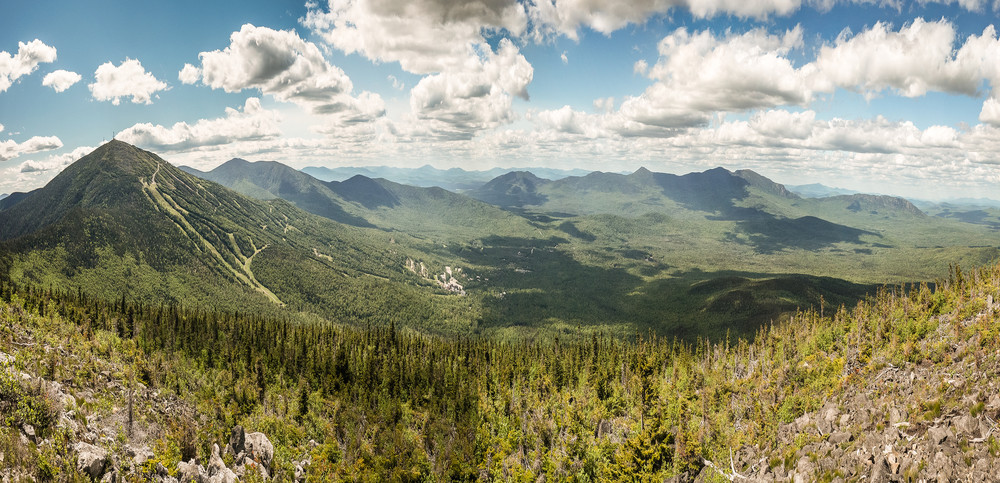
Burnt Hill, locally known as Burnt Mountain, is a well-trodden path that offers superb 360 degree views of Western Maine’s breathtaking landscape. The trailhead starts at the end of Bigelow Road close to the Sugarloaf Mountain Ski Resort Base Lodge. The trail climbs through a forest of mixed conifers and hardwoods and for the initial section, the trail follows a brook that crosses the trail at two points which has cool and clear mountain water.
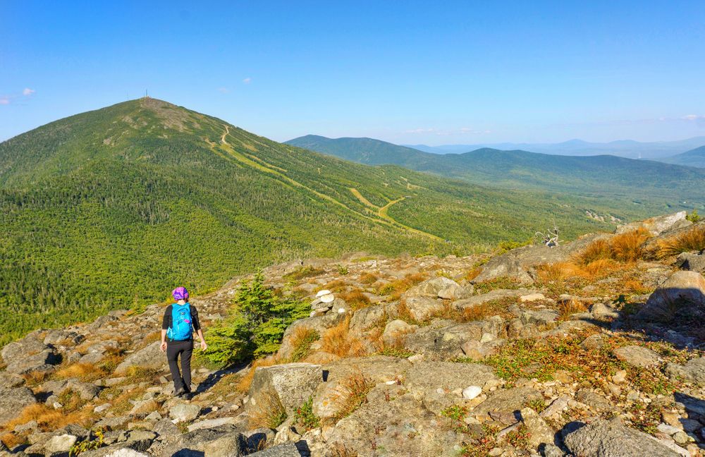
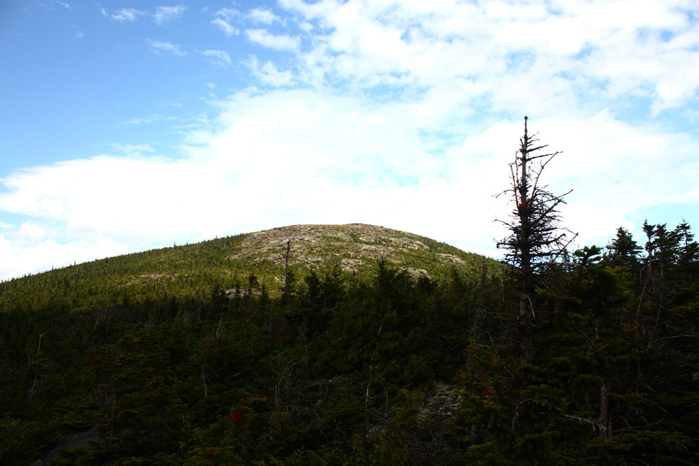
After the first section, the trail follows a steeper grade, leading the hiker over roots and rocks. As the trail approaches the summit the trees start to thin out and become dwarfed as the elevation nears the alpine zone. When the trail breaks out of the trees there is a view of the summit as well as an unobstructed view of the majestic Bigelow Range.
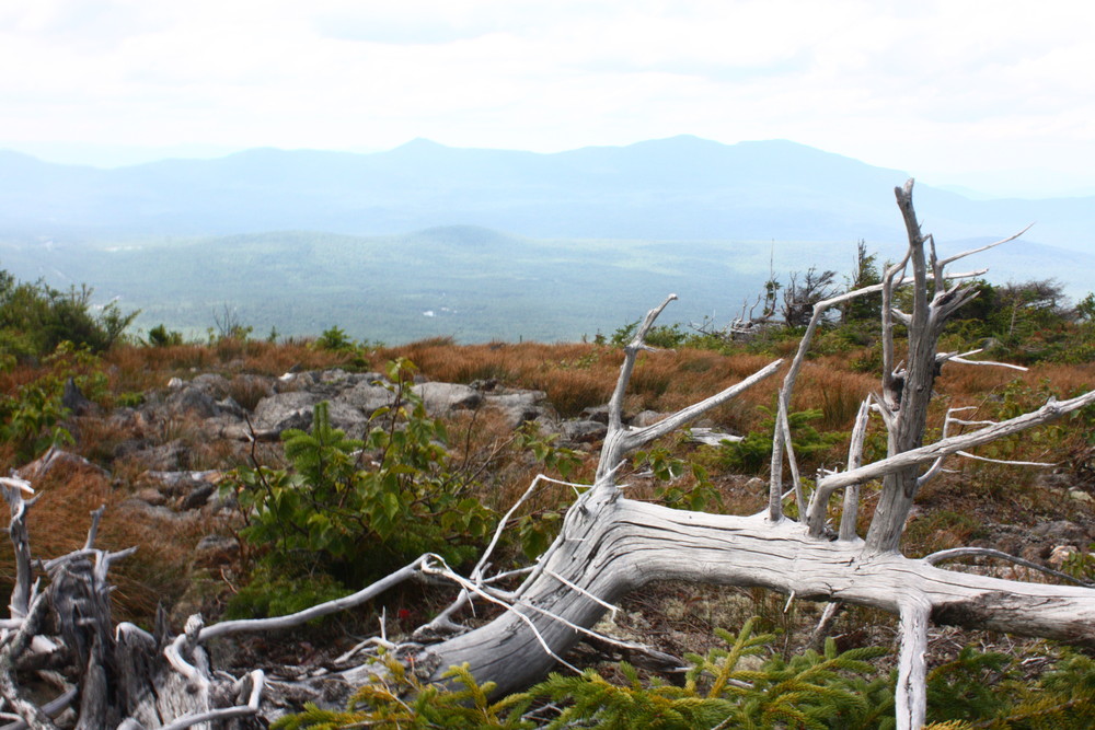
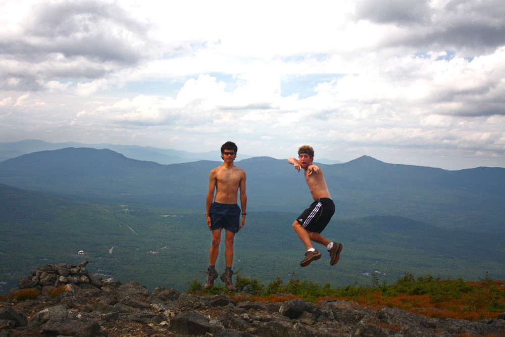
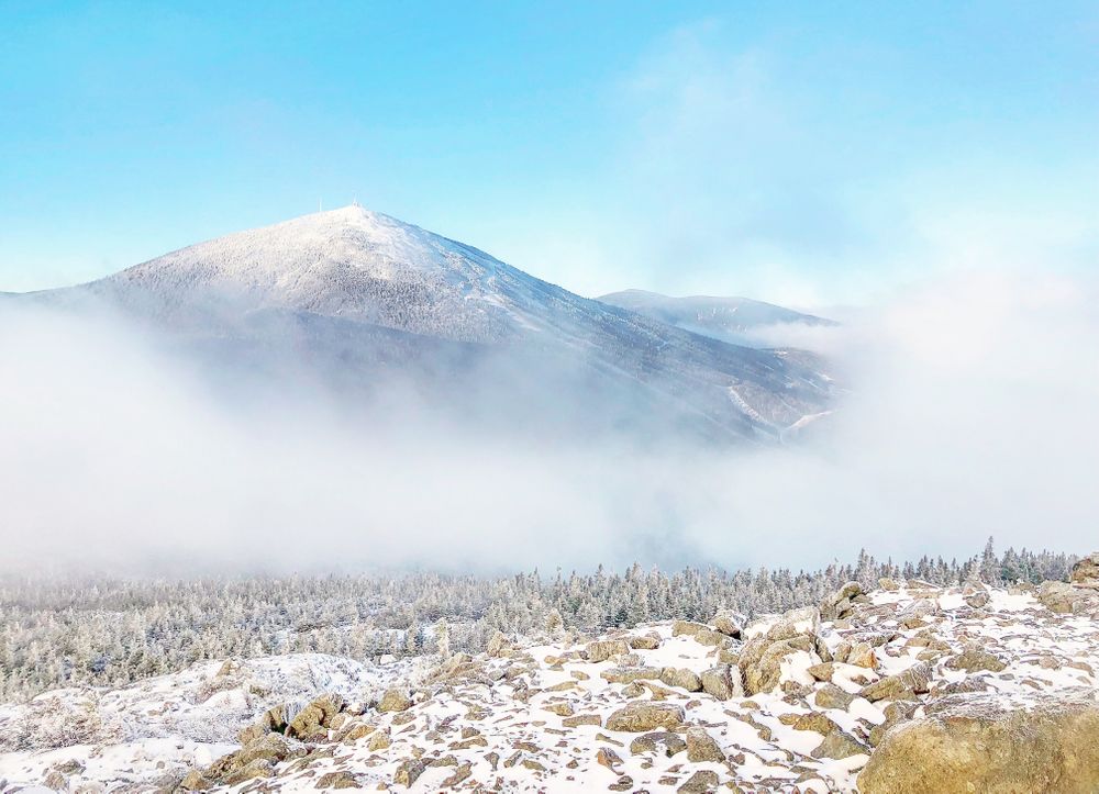
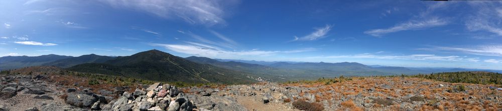
The last section of the hike is through a treeless Alpine landscape that is filled with rocky boulders and stunning views all around. Keep watch for cairns and blue blazes that can be easy to miss, but will lead the way to the summit.
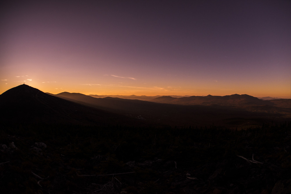
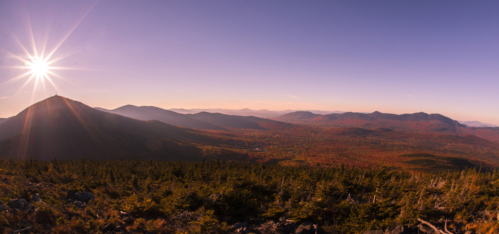
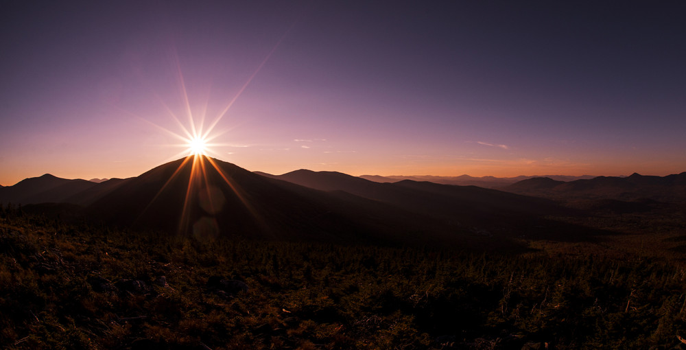
As the name suggests, Burnt Hill was devastated by a forest fire in the early 1900s that started on the mountain and traveled across part of Sugarloaf towards the Crocker Mountains. This fire burned an estimated 5,500 acres and helped to give Sugarloaf some of the ski areas that are enjoyed in the winter season today. While Burnt Hill is often overlooked by hikers for some of the other mountain hikes, it offers a bald topped summit with views unlike most in the region. The summit is clearly marked by a large cairn as well as spectacular views including Spaulding, Sugarloaf, Crocker and South Crocker Mountains as well as the Mount Abraham and Bigelow Mountain Ranges.
 Natural Heritage Hikes is a project of the Maine Natural Areas Program in partnership with Maine Trail Finder. View the "Burnt Hill Sugarloaf - Burnt Mountain Trail" guide online here.
For more information contact:

Be Prepared to Share the Space: Outdoor recreation in Maine welcomes everyone. Have an alternative plan in case the parking area is already full.
Please see the note about Google Maps below.The trailhead for Burnt Hill Trail is located near the Sugarloaf Mountain Ski Resort Base Lodge.
From North: Starting at the intersection of ME Routes 16 and 27 in Stratton Village (in Eustis), drive 7.9 miles south on ME Routes 16/27. Turn right onto the Sugarloaf Access Road. Parking is approximately 2 miles further on Sugarloaf Access Road at three different lots near the Main Base Lodge and the Grand Summit Hotel.
From South: Starting at the intersection of ME Routes 16 and 27 in Kingfield, drive approximately 15 miles north to Carrabassett Valley. Turn left onto the Sugarloaf Access Road. Parking is approximately 2 miles further on Sugarloaf Access Road at three different lots near the Main Base Lodge and the Grand Summit Hotel.
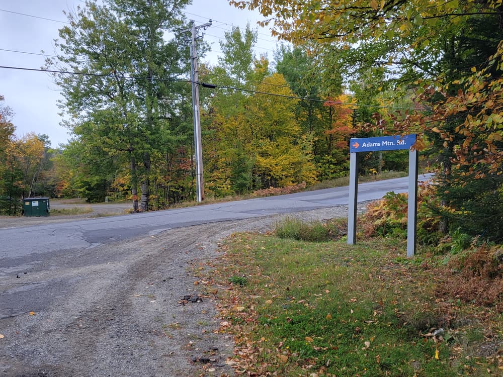
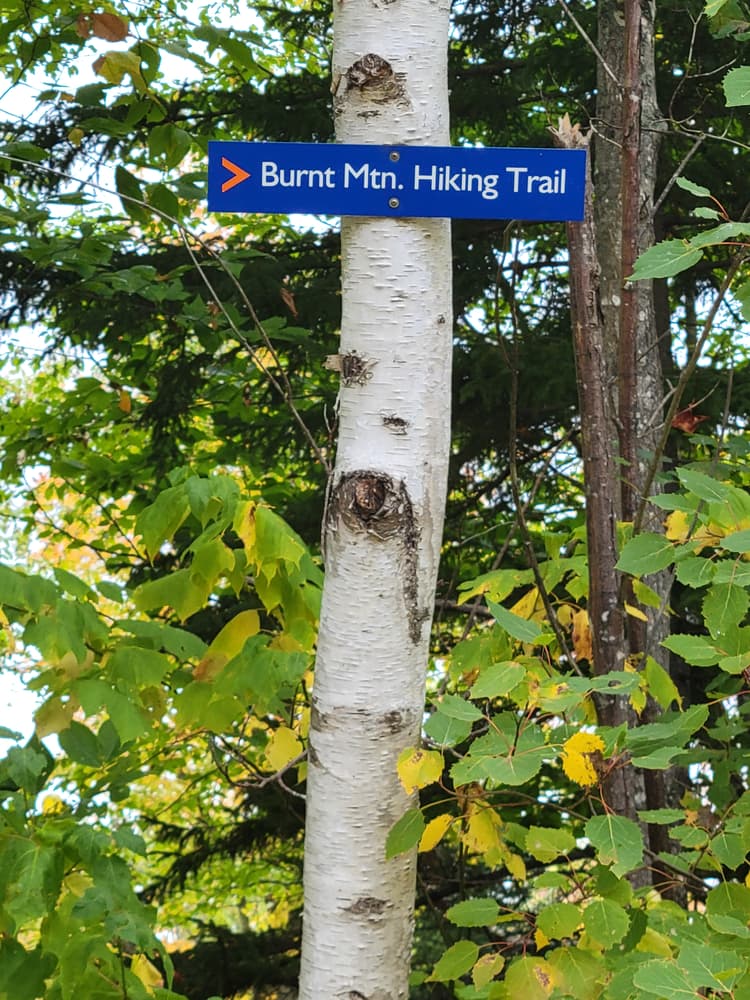
With the Grand Summit Hotel on your left and the Base Lodge on your right, follow the "Main Street." Once past the Base Lodge, follow the driveway past Gondola Village and walk along Adams Mountain Road. Continue past the condominium complex and turn left onto Mountainside Road. About a block further on, turn right onto Bigelow Mountain Road. The trailhead for Burnt Hill Trail (marked with signs for “Burnt Mtn Trail”) is located at the end of Bigelow Mountain Road.
Note About Google Maps: The roads for this area on Google Maps are mislabeled. The eastern portion labeled as Adams Mountain Road is in fact Bigelow Mountain Road. Other nearby roads are also mislabeled, however, the map of the trail and directions above indicate the correct location of the trail. Following them will get you to the right place! Enjoy the hike!
Success! A new password has been emailed to you.