Butler Preserve

Also known as Picnic Rock, this quiet 14-acre forested preserve is situated on the Kennebunk River. The woodland trail leads to a ledge overlook at a bend in the tidal river where cormorants and shorebirds are commonly observed.
Trail Activity
Snowshoeing Walking
Length
0.60 miles, Round Trip
Difficulty
Easy
Town
Kennebunk
Surface
Dirt/Forest Floor
Pets
Permitted
Fees
No

Description

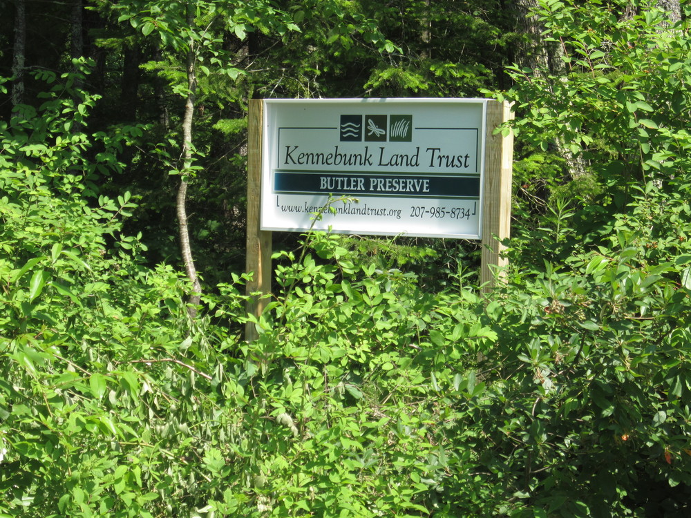
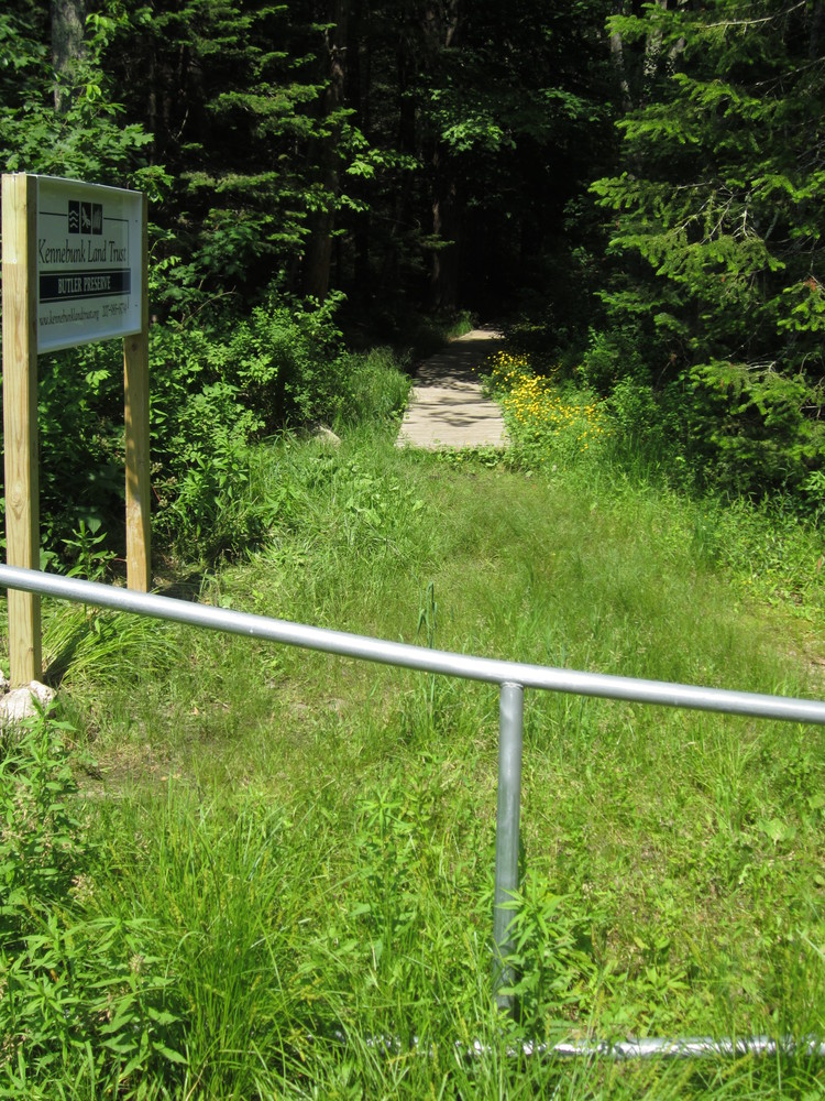
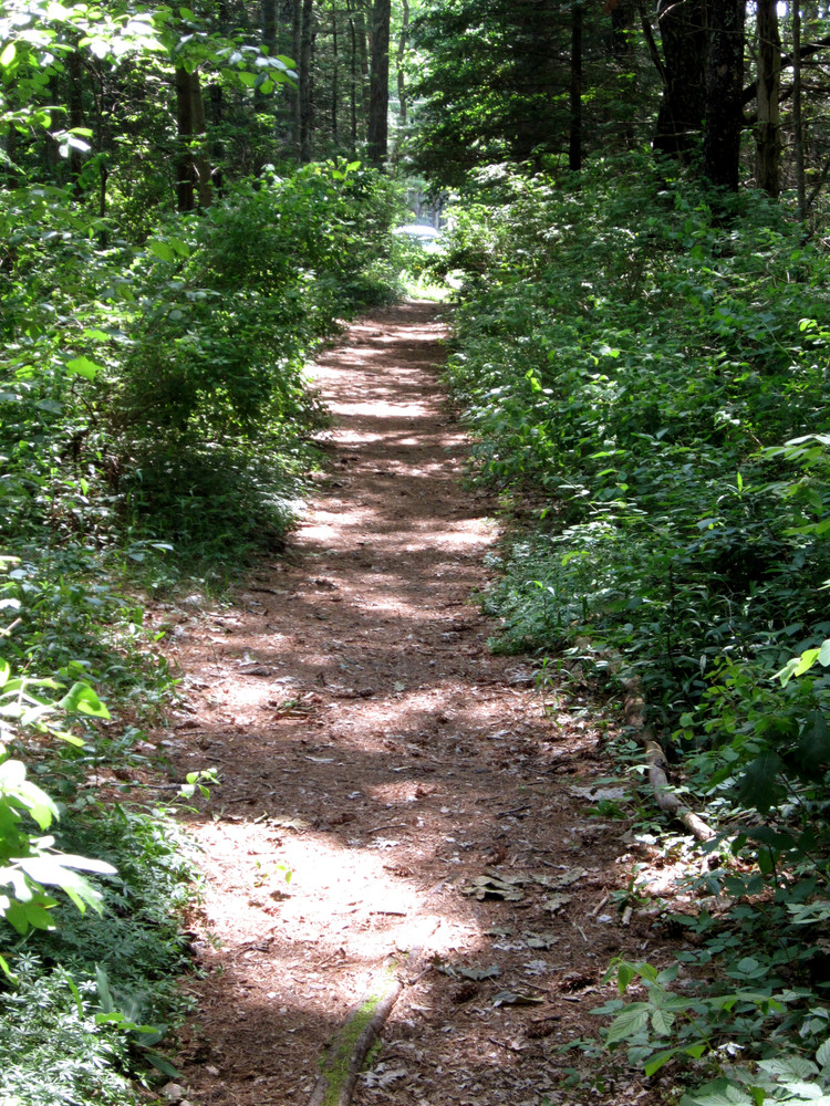
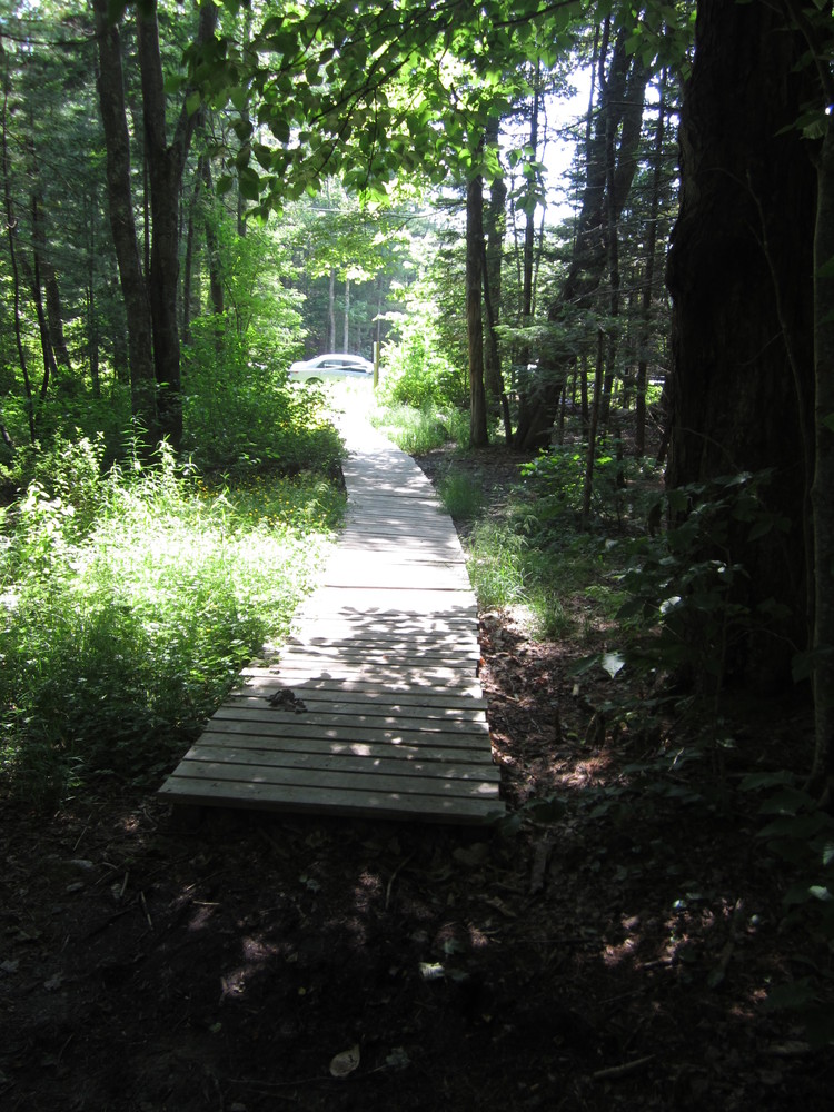
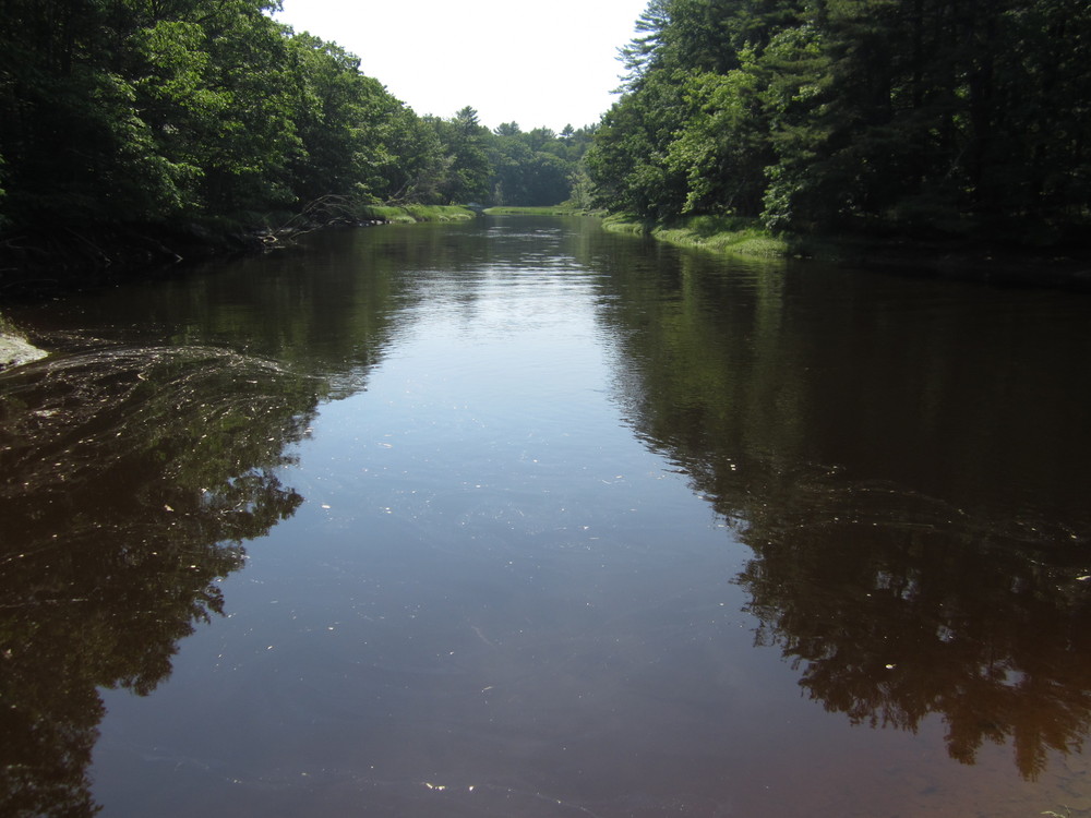
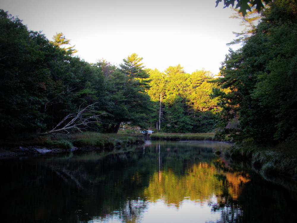
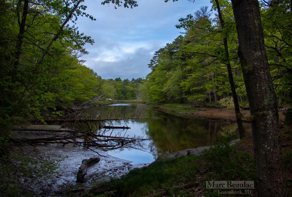
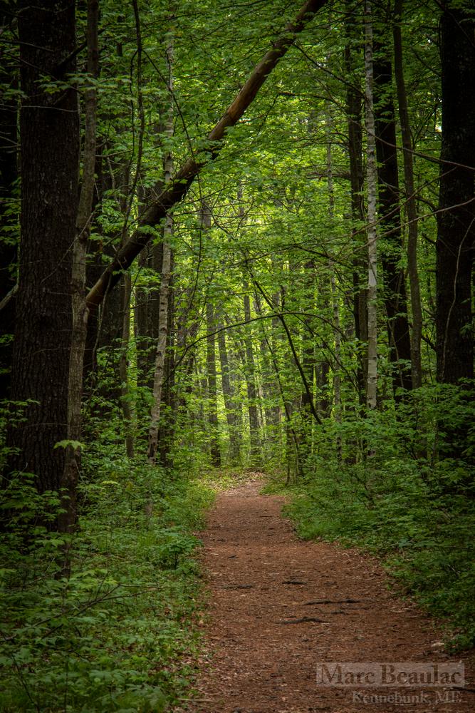
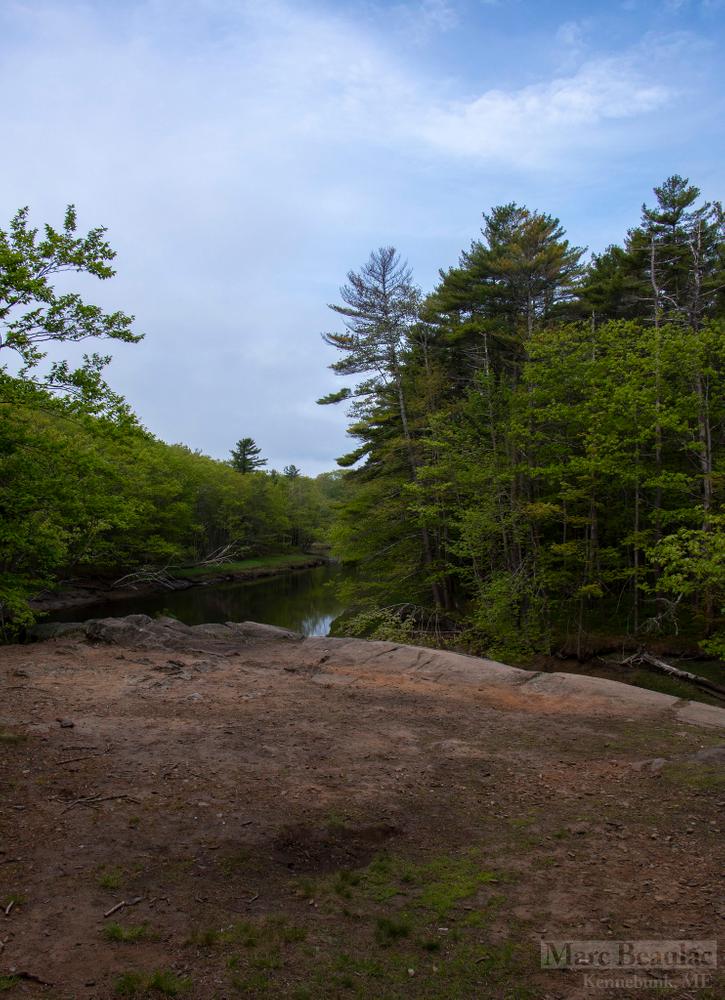
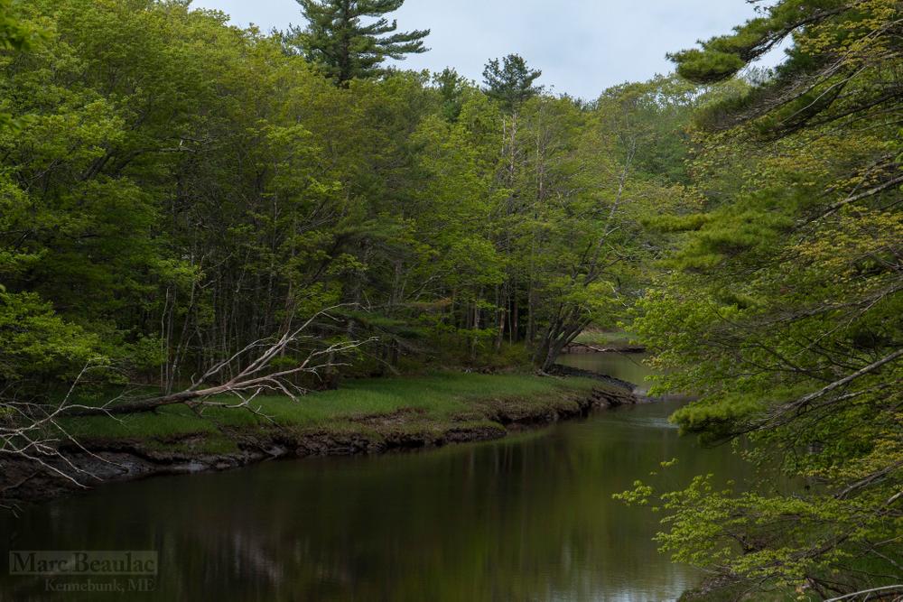
This little gem of a walk is located just off ME Route 35 leads to a glacial boulder and the banks of the Kennebunk River. In earlier times, the boulder, known as Picnic Rock, was a well-known spot where boaters traveling the river would stop and picnic. The preserve is now enjoyed by people of all ages as a stop on a kayak excursion or to hike.

Other Information

Kennebunk Land Trust (KLT) was established in 1972. Kennebunk Land Trust’s mission is to permanently conserve and steward land to benefit natural and human communities.  Since its inception, the Trust has worked to protect over 3,400 acres of land through ownership, conservation easement and partnership. To find out about volunteer opportunities with the Trust, please contact them using the information below.

Trail Etiquette – while enjoying the preserve, please help us protect their natural resources by keeping these things in mind:

  • Daylight Use Only
  • No Fires, Camping or Motorized Vehicles
  • No hunting allowed
  • Carry in – Carry Out: Trails do not have trash cans or bathroom facilities. Please do not litter.
  • Dogs: Dogs are welcome on KLT properties. Responsible dog owners will please clean up and remove from premises all pet waste. Be respectful of other users, not all walkers are dog lovers. Be respectful of the environment. Pets who chase wildlife, or who jump up on or intimidate strangers are best left on leash.
  • Mountain Biking: Some KLT trails are appropriate for mountain biking. While allowed, we ask that you consider surface conditions before riding to prevent rutting and trail damage. Off-trail riding and unsafe riding will not be tolerated. Riders must be sensitive to other users.
  • Habitat: Many KLT trails pass through habitat for a variety of resident and migrating wildlife. Please be respectful.
  • Monitoring: KLT volunteers monitor and maintain the trails. Should you find downed trees, vandalism or inappropriate uses on any part of the preserves or trails, please contact the Trust.

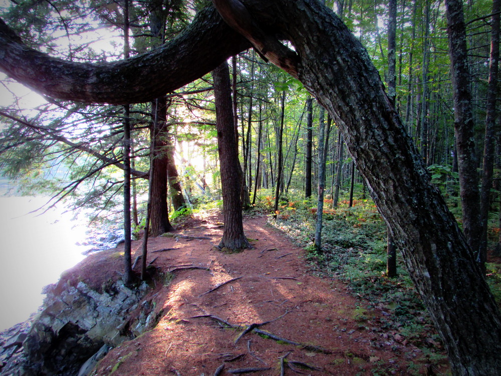
Trail users should be prepared for inclement weather, wear appropriate footwear and clothing, and bring along water and snacks. Southern Maine does have deer ticks that carry Lyme disease; hikers should always perform “tick checks” on themselves and pets following a trip into the woods.

Trail Manager

Visit Kennebunk Land Trust online for more information or contact:

Kennebunk Land Trust

Kennebunk Land Trust
6 Brown Street, Suite 2
Kennebunk, ME 04043
Phone: (207) 985-8734
info@kennebunklandtrust.org
View website

Nearby Events

VIEW EVENTS CALENDAR

Trail Tips

Travel and Camp on Durable Surfaces
Camp at least 200 feet from lakes and streams.
Legend
Hide All

Trailhead Information

From US Route 1 in Kennebunk follow ME Routes 35/9A south 2.0 miles and turn left onto Old Port Road (directly across from Evergreen Cemetery). Continue about 0.7 miles and look for the trailhead on the left. Limited parking is available near the corner or Rivers Edge Drive.

Coming from ME Route 9 in Kennebunkport, follow ME Route 35/9A north 0.6 miles, and turn right onto Old Port Road. The trailhead will be on the right in approximately 0.4 miles with limited parking available near the corner of Rivers Edge Drive.

Click on a parking icon to get custom directions
Please Log In or Create Account to add comments.
tonerspill
December 07, 2014
I went there late this Summer, it's a nice trail along the river, a good short walk for a great view.
These awesome businesses support our goal of connecting people to outdoor adventures in Maine!
Hang Tight!
Nearby services are loading
No Results
No Services Found
SHARE THIS TRAIL

Add Trail Log

Please wait…
Join In on the Fun!
Log in or create an account below to unlock all the great features of Maine trail finder: keep track of trails you want to do, preserve memories of trails you’ve done, earn badges, and more!
Your log in attempt was not successful. Please try again.
    Lost your password? Reset your password
    Don't yet have an account?
    There was an issue with your submission. Please try again.
      * Indicates required field
      Already have an account? Login here
      Enter your username, and we will send you a new, randomly generated password to your email account.
      There was an issue with your submission. Please try again.

        Success! A new password has been emailed to you.

        Log in now

        Please wait…