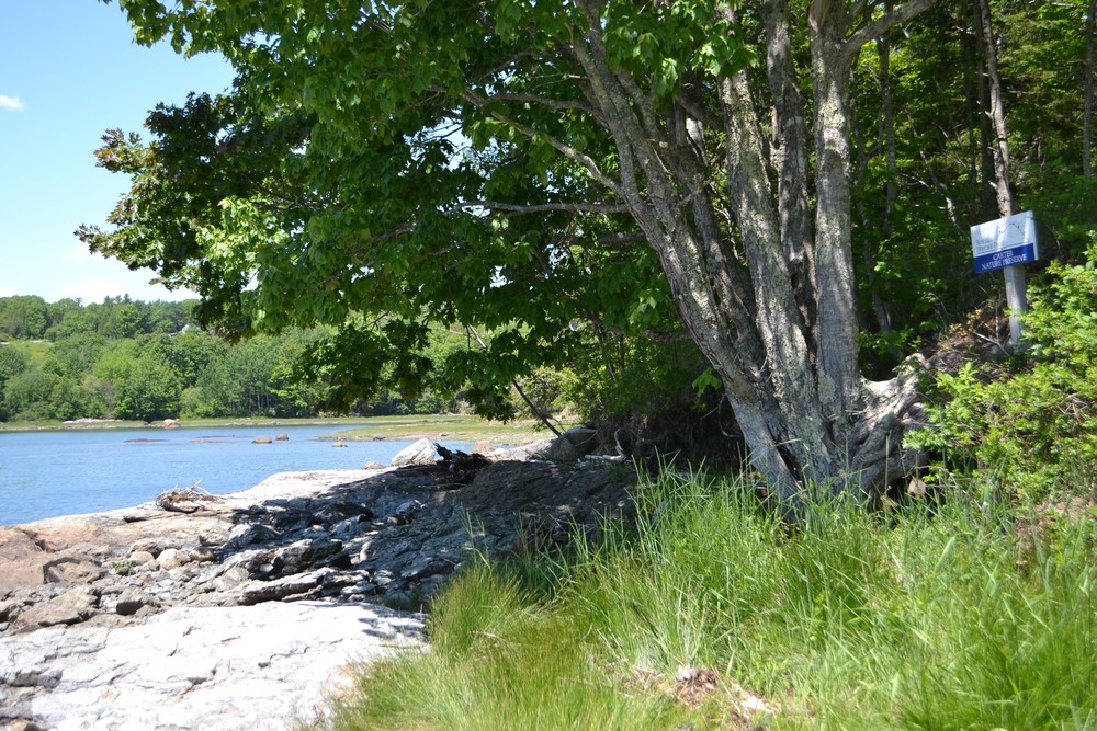
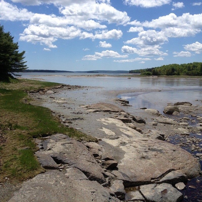
The Carter Nature Preserve includes three unique sections of trail. Starting at the small parking area at the bridge where Morgan Bay begins, the original Shore Trail begins in an open field before it takes a few steps down to the rocky shoreline. Identified by a few items and a small sign, the trail then makes a turn and enters the forest where the Woods Trail begins.
**Please note that the Woods Trail is part of the Preserve and therefore dogs are not permitted within this wooded section. If you wish to continue the hike with your dog, you are welcome to continue along the shoreline (may be difficult at high tide) where it eventually reconnects with the rest of the trail, at a cove.
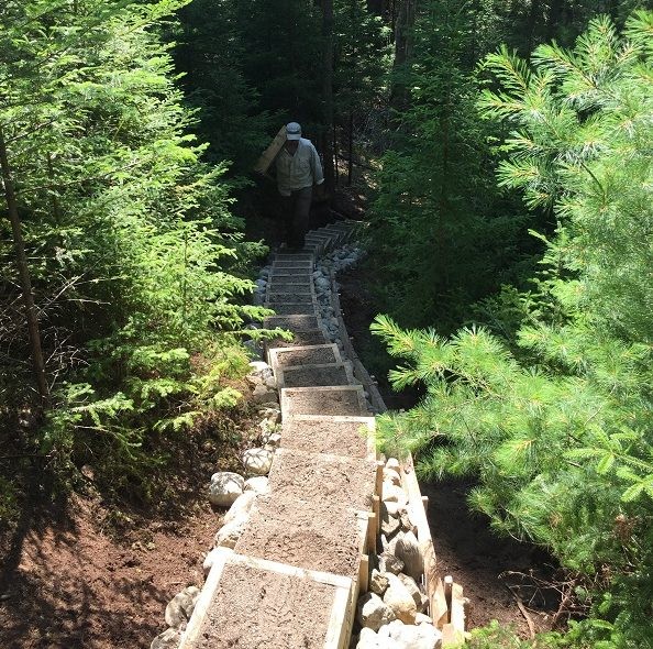
To continue along the loop, re-enter the woods on the Wood Trail and then take a right at the Y-junction to explore the Loop Trail for a distance of 0.8 miles. Be aware that a portion of this trail, starting from the bridge and up the 26-step staircase, takes you along privately owned trail; please respect the land and this generous opportunity to explore it. It will lead you to the parking area at the head of the Furth-Talalay trails. You may choose to add these trails to extend your hiking enjoyment of the Morgan Bay area.
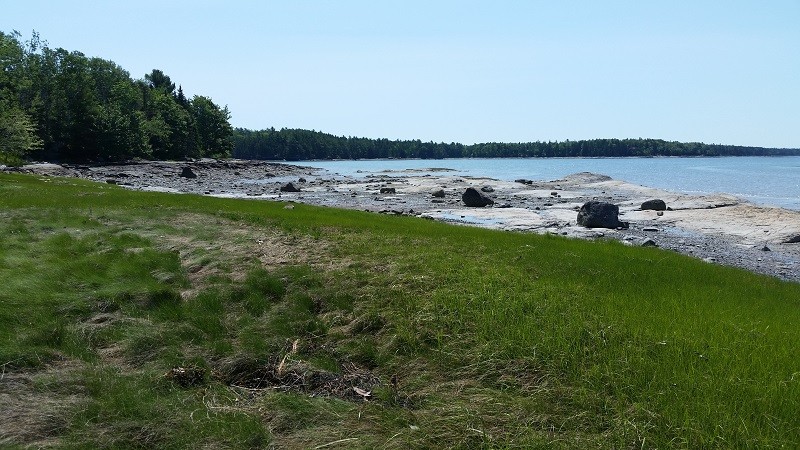
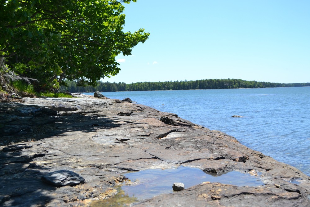
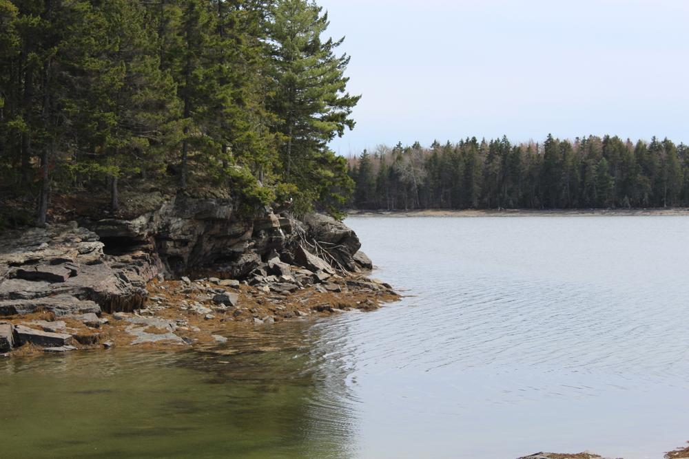
Carter Nature Preserve was acquired in 1995 through the diligent efforts of Friends of Morgan Bay and Blue Hill Heritage Trust. The diverse shoreline offers panoramic views of Morgan Bay and is comprised of ledges interspersed with some large tidal pools and cobble beach. The mixed wood inland forest has likely not been logged for 70 or 80 years and includes some very large white pines and birch.
Use guidelines:
To access a growing inventory of plant and animal life at Carter Nature Preserve or to add your own observations, go to iNaturalist or eBird. Looking for a fun activity for all ages and all seasons? Check out this naturalist scavenger hunt!
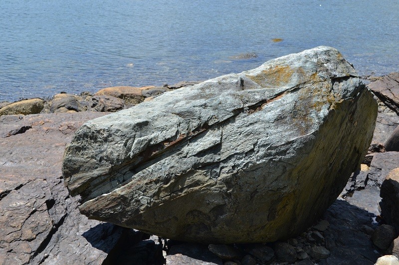
The Maine Geological Survey has created a guide to the geologic history and features of the Preserve's shore that can be best experienced at low tide.
Downeast Phenology Trail
While visiting this beautiful trail take part in our scientific research project, which is part of the Downeast Phenology Trail. Millions of songbirds migrate south every fall along the northeast coastline. To get from here to there they need stopovers to refuel on fruits and insects. This hiking trail is one of those stopover locations.
As the climate changes, temperatures are going up. And as things heat up, fruits ripen and insects emerge earlier and earlier. But, birds are migrating south later and later. Will there be any fruits or insects left for the birds when they fly through our region? You can help us answer this question--check out our project website before you go for your hike.
Schoodic Institute is an independent 501c3 nonprofit organization committed to advancing ecosystem science and learning for all ages through a unique partnership with Acadia National Park. Schoodic Institute and Acadia National Park are national leaders in the development of new techniques to involve the public in science, education and conservation.
For more information and a print map, please visit Blue Hill Heritage Trust online, or contact:
![]()
Use Water to Drown Your Fire: Fully extinguish fires with water before you leave.
From Blue Hill: take ME-176 toward East Blue Hill for 7.5 miles. Turn right onto Cross Road. The trailhead is on the right hand side of the road, 0.25 miles from ME-176.
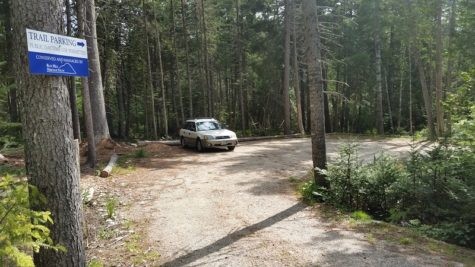
Limited parking is available at the bridge on Cross Road, Surry, at the head of Morgan Bay. A larger parking area is further down Cross Road, across from the Furth/Talalay trailhead.
Success! A new password has been emailed to you.