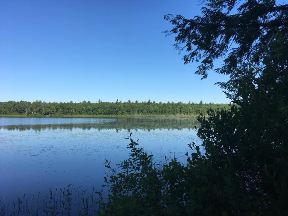
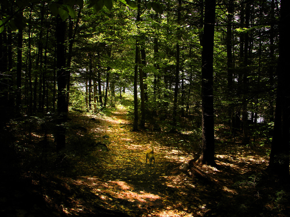
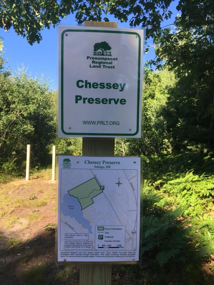
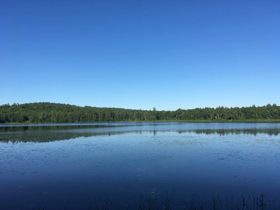
The Chessey Property is 100 acres of private property protected under conservation easement by the Presumpscot Regional Land Trust. The property is wild and relatively pristine woodland area. The trail is easily accessible from Hancock Pond Road and is a short half-mile to the undeveloped shore of Browns Pond. Parts are rocky and—depending on the time of year—muddy. The forest is a mix of hemlocks, pine and birch, and as the trail opens up on the shore, clear views of all sections of the pond including the marshy north end. Please note: snowmobiles and motorized vehicles are NOT allowed on this property. Also, please no fires, overnight camping, hunting or trapping, structures or cutting, and please do not litter.
Presumpscot Regional Land Trust supports healthy lands, waters, wildlife, and people across the Presumpscot River watershed through conservation, water quality monitoring, education, and public access. Our success is based on member support. To learn more and become a member go to www.prlt.org.
Visit the Presumpscot Regional Land Trust online for more information or contact:
![]()
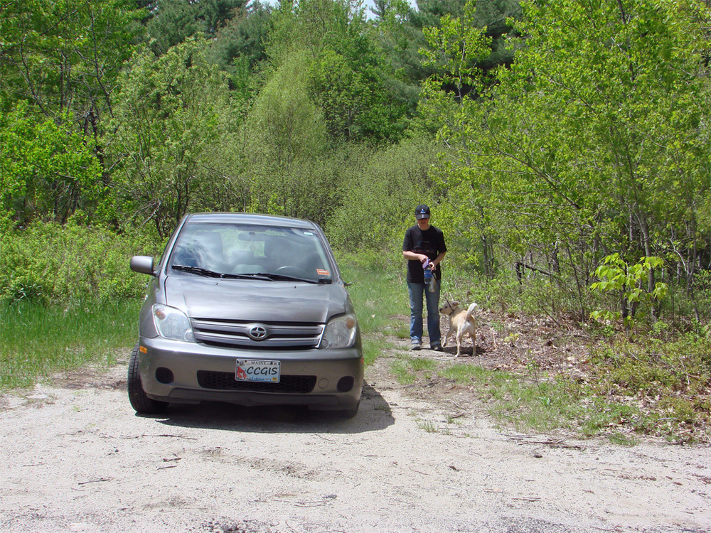
From South: From the intersection of ME Routes 35 and 114 in Sebago Lake village, take ME Route 114 north along the lake about 9.1 miles, and turn left onto Long Hill Road in the village of East Sebago. At the end of Long Hill Road—about 2.25 miles—veer right onto ME Route 107. Take ME Route 107 north for about 2.6 miles and turn left onto Hancock Pond Road. Drive on Hancock Pond Road for about 1 mile; the trailhead is on your left about 100 yards past the far end of a large cemetery that will be on your right.
From North: Starting at the intersections of US Route 302 and ME Route 117 in Bridgton, take ME Route 117 west about 0.9 miles and turn left onto ME Route 107. Drive south on ME Route 107 roughly 5.2 miles and turn right onto Swamp Road. Go to the end of Swamp Road—only about a mile—and turn left onto Hancock Pond Road. The trailhead is about 2.5 miles down Hancock Road on your right. If you see the large cemetery on your left, you have driven about 100 yards beyond the trailhead.
Success! A new password has been emailed to you.