The mile long loop trail is moderately sloped and designed to highlight the many cultural features present from centuries of human intervention on this land. Cultural features include cellar holes, stone walls, and a sand pit. The forest is primarily white pine that arose from the abandonment of agricultural fields and pastures, including large, multi-stemmed white pines along the trail entrance. Portions of the trail travel through a two-aged forest of white pine resulting from forest management activities. The trail skirts a mixed hardwood stand managed for wildlife habitat and forest products, and a 2 acre area of new forest created by severe winds in 1996 and 1998.
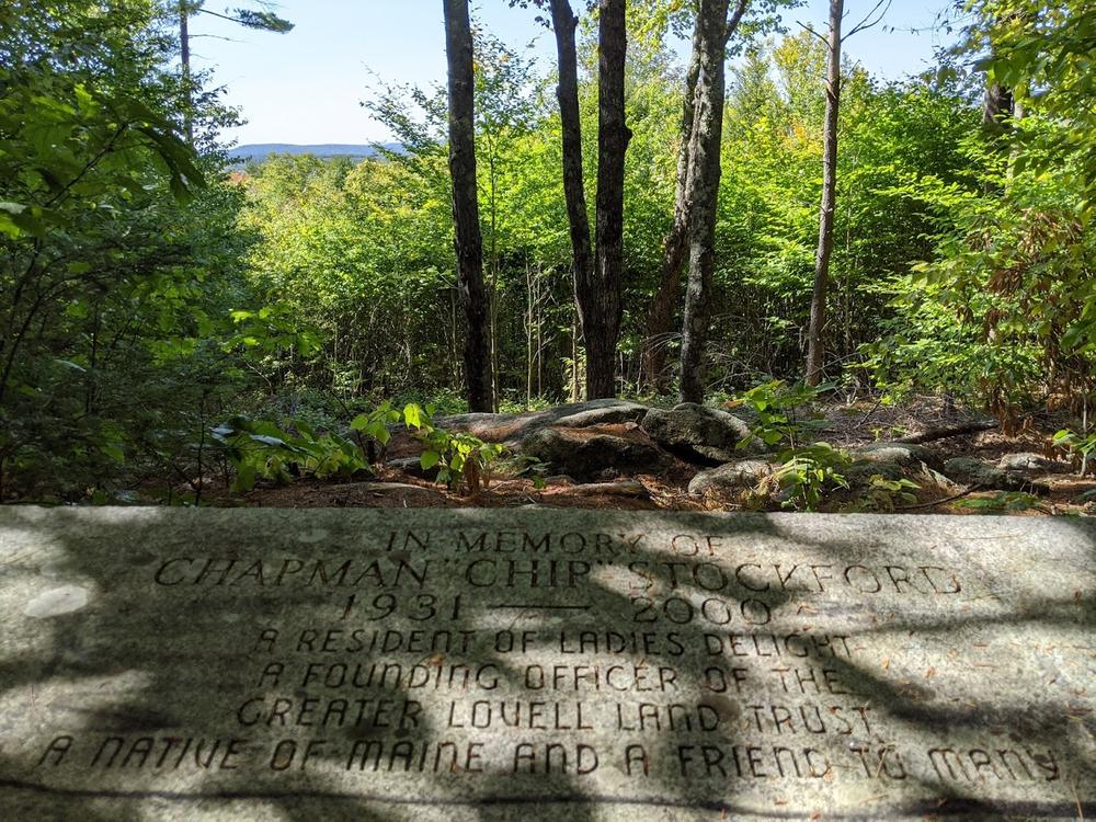
A short spur trail, marked in red leads to a memorial bench and view vista overlooking the Lower Bay of Kezar Lake, the expansive Kezar Oulet Fen and the hills that make up Robbin’s Ridge.
The property is a popular winter mammal tracking destination for species including porcupine, fisher, grey fox, red fox, moose, deer, and mice. Wood ticks are abundant on the property and hikers are cautioned to take appropriate precautions in spring, summer and fall.
Visit the Greater Lovell Land Trust online for more information or contact:

Be Prepared to Share the Space: Outdoor recreation in Maine welcomes everyone. Have an alternative plan in case the parking area is already full.
From Lovell Village at the intersection of ME Routes 5 and 93, take ME Route 5 north 2.4 miles. Turn left onto West Lovell Road. Go over the bridge on the lake and then turn left onto Ladies Delight Road (labeled B-Road by Google Maps). It is the first dirt road on the left (west) after crossing the bridge. The reserve trailhead and parking lot are on the north side of the road (right-hand side) in approximately a half mile. Additional parking is across the road. The trail begins by following the logging road and a kiosk is in place about 100 feet up the trail in the woods.
Success! A new password has been emailed to you.