Love Maine Trails month is coming in June! Learn more about how you can participate.

Clarry Hill

Trails provide access to both forests and to fields that offer spectacular views over blueberry barrens, across the watershed, and beyond.
Trail Activity
Hiking Walking Snowshoeing Cross-country-skiing
Length
1.30 miles, One Way
Difficulty
Moderate
Towns
Union, Waldoboro
Surface
Dirt/Forest Floor, Grass
Pets
Permitted
Fees
No

Description

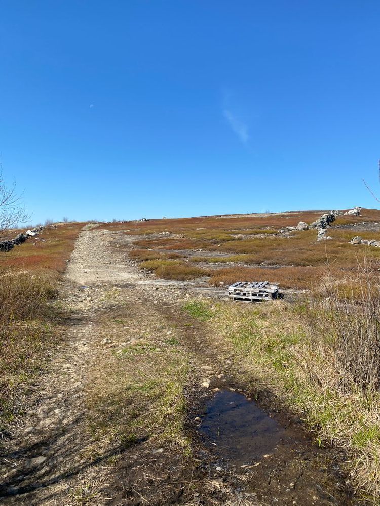
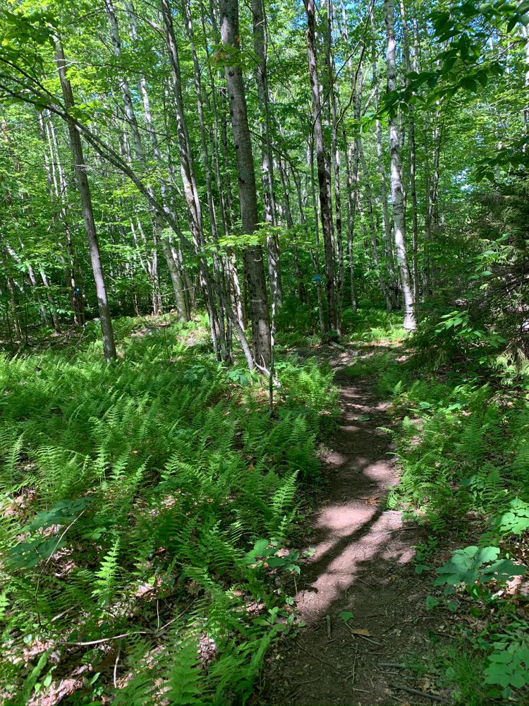
The trail is marked with bright blue flags through the fields and blue blazes in the wooded areas.

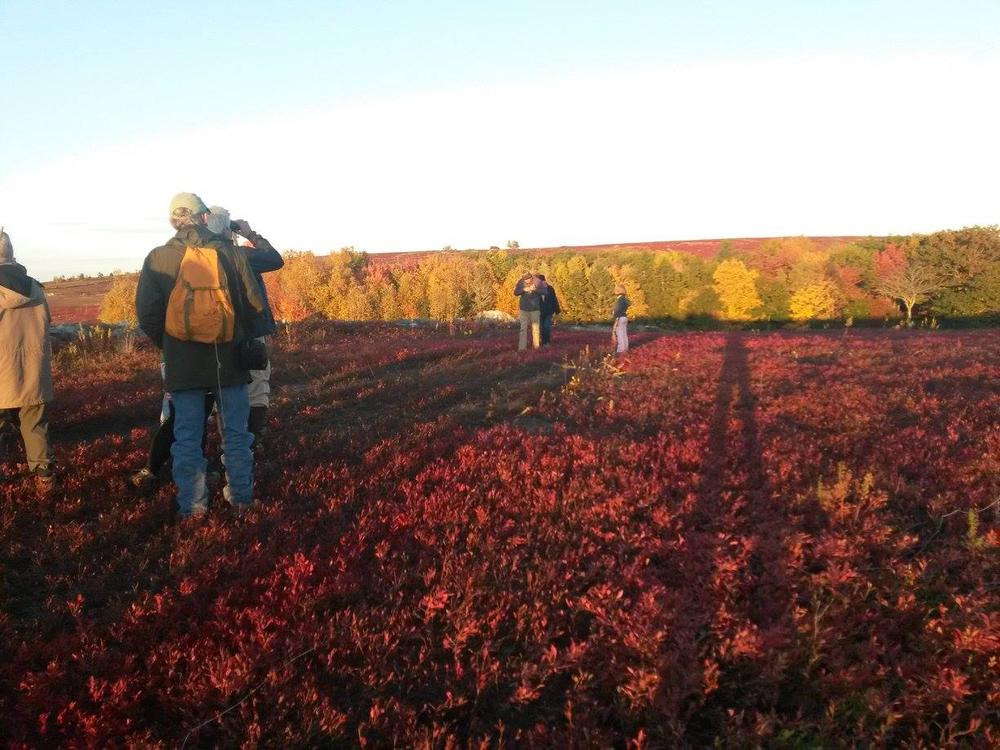
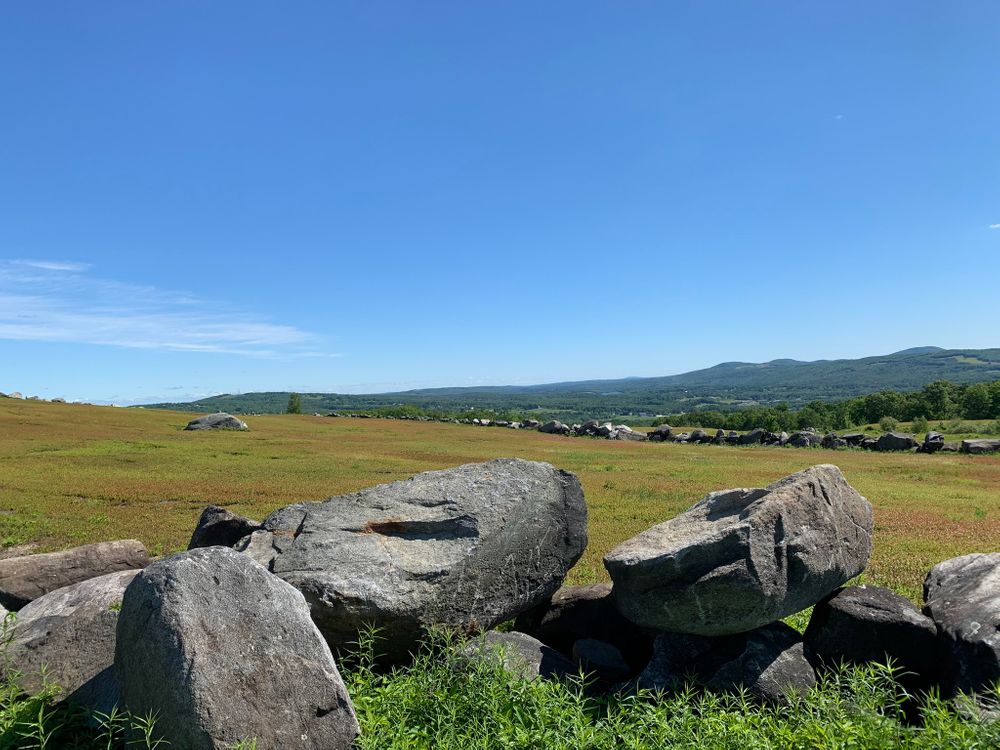
In the fields, the trail follows the stone walls in most places. Hikers should stay as close to the stone walls as possible to prevent harming the plants in the fields. The trail may be closed at certain times of the year to protect the fields and prevent interference with harvesting or field maintenance activities. Parts of the trail can be very muddy in the spring.

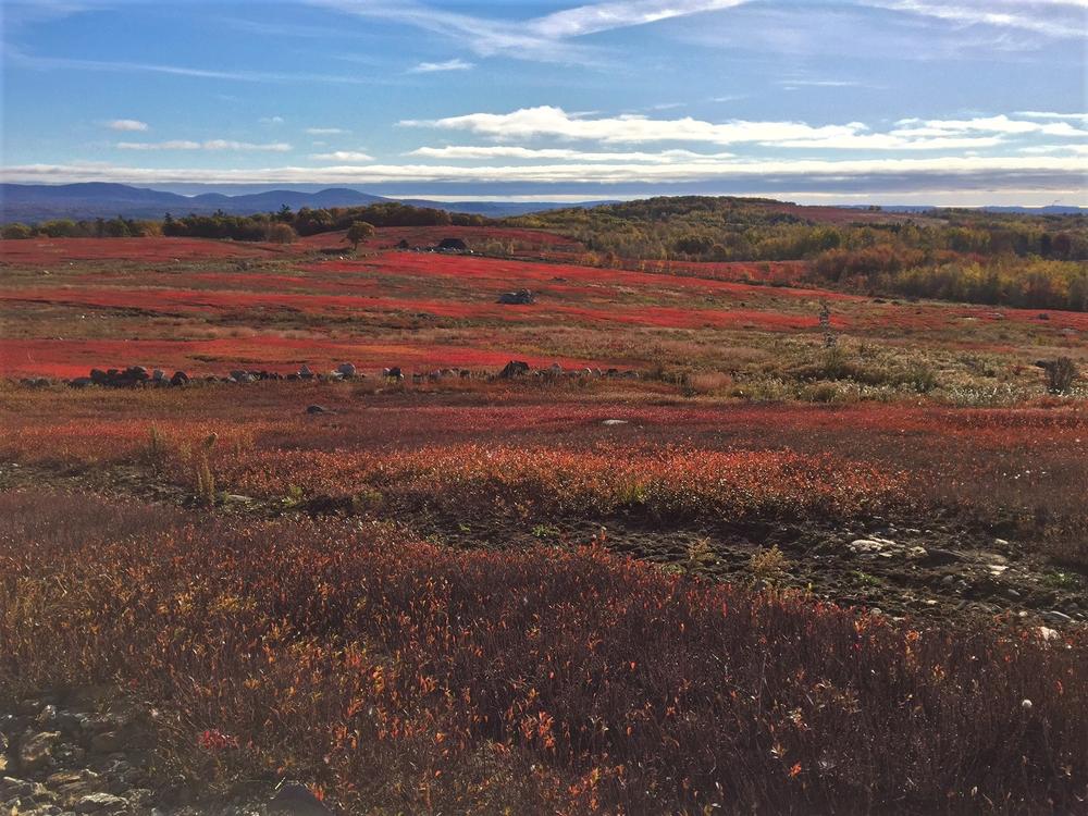
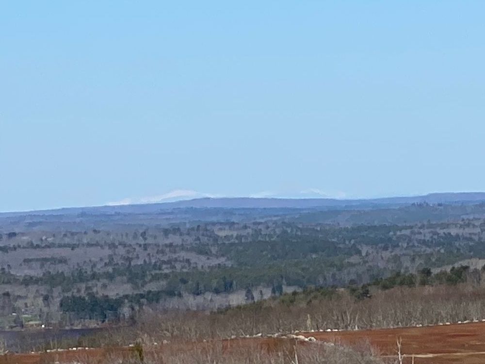
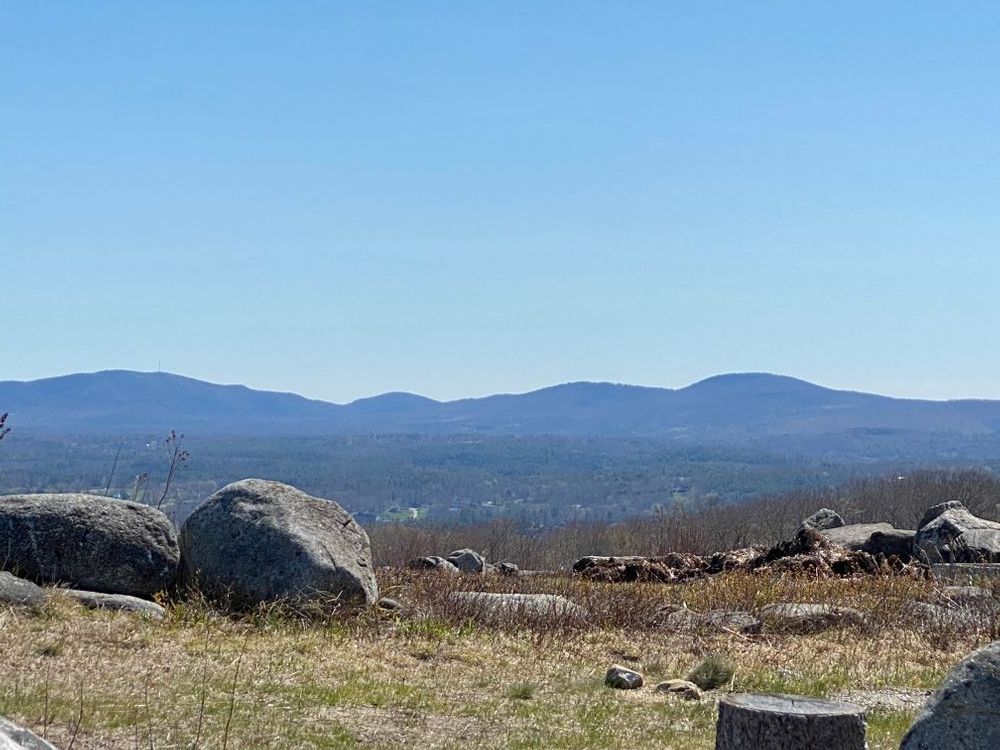
From the top of the Clarry Hill, exceptional panoramic views extend to the ocean and the western mountains. The trail is mostly downhill from the top of the hill to the trailhead to the west on Jackson Road. There is no public access to the pond from the west trailhead.  

Other Information

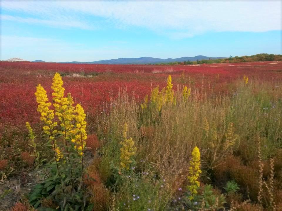
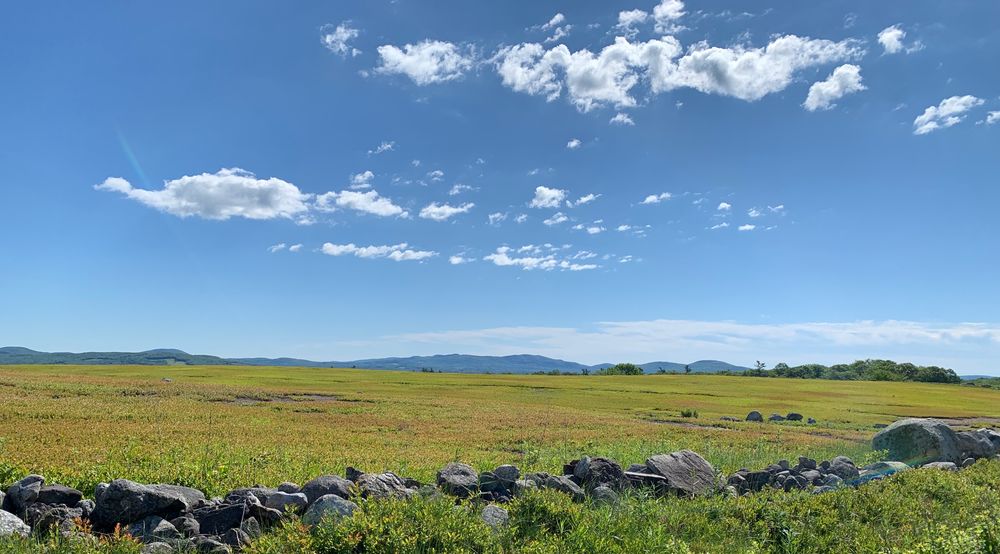
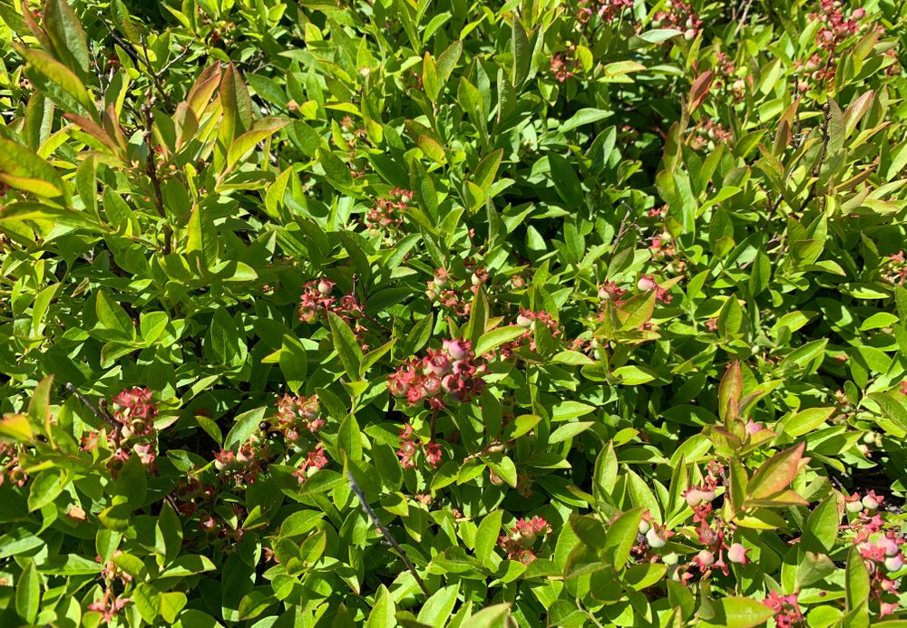
Clarry Hill forms the watershed divide between the Medomak and St. George Rivers. Rising to an elevation of 643 feet, it is one of the highest points in both watersheds. Clarry Hill is particularly important because it includes the largest contiguous acreage of productive blueberry land in the midcoast, with the fields leased to a local blueberry farmer who keeps the 400 acres in production. It is also of statewide significance because it contains critical habitat for two rare grassland bird species, the upland sandpiper and the vesper sparrow. Based on Inland Fisheries and Wildlife’s 1997-98 survey data, Clarry Hill is the most significant habitat for these birds in the midcoast region.

Thanks to the generosity of its neighbors, Midcoast Conservancy was able to build trails over their private lands. Please be respectful of their property and stay on the marked trail. 

Trail Manager

For more information, visit the Midcoast Conservancy website, or contact:

Midcoast Conservancy

Midcoast Conservancy
290 US Route One
PO Box 439
Edgecomb, ME 04556
Phone: (207) 389-5150
View website

Nearby Events

VIEW EVENTS CALENDAR

Trail Tips

Plan Ahead and Prepare
Use common sense. If it seems like a bad idea, it probably is.
Legend
Hide All

Trailhead Information

Elmer Hart Road Trailhead
From US-1 in Waldoboro, travel north on ME-235 for 5.2 miles, then turn left onto Clarry Hill Road. After 1 mile, bear left to stay on Clarry Hill Road. Go another 0.5 miles, and turn right to stay on Clarry Hill Road. Go 0.8 miles and turn left onto Elmer Hart Road. Follow the stone road to the trailhead sign and parking on the left.

Jackson Road Trailhead
From US-1 in Waldoboro, travel north on ME-220 for 2.4 miles, then turn right on Feyler's Corner Road. After 3.2 miles, go straight across Old Augusta Road onto Jackson Road. Go 0.3 miles and bear left to stay on Jackson Road. The trailhead, with space for parking, is another 0.9 miles up Jackson Road on the right.

Click on a parking icon to get custom directions
Please Log In or Create Account to add comments.
mainetrailfinder
November 24, 2020
@WOOLYWANDERER - To get directions from any location, you can click on the Parking icon in the Directions tab and then click on "Get directions to here" in the pop-up. This will take you to Google Maps with directions to the GPS coordinates of the trailhead. From there you can access all the usual functionality of Google Maps. Happy trails!
woolywanderer
November 24, 2020
I wonder if you could add a physical address? For directions? Maybe I missed it. Not everyone comes from the SOUTH
emilyt
October 07, 2020
This trail is gorgeous, and different from most trails I've been to in Maine! It has a high alpine feel without the difficult hike. Trail is easy and well marked. Dog friendly (leash or voice command). Didn't see anyone else on trail while I was out there!
wpie
August 31, 2020
Not well-marked from the Elmar Hart Road parking lot; trail kiosk with no map. Pretty at sunset, found picnic tables and famous tree but unclear where the “trail” is besides the roads through the blueberry fields.
bjzucchi
June 14, 2020
The trail is extremely well marked. The blueberry barrens and stonewalls are something to behold. If you're not up for the hike, drive up Elmer Hart Rd. just to check out the fields and stones. It is beautiful.
These awesome businesses support our goal of connecting people to outdoor adventures in Maine!
Hang Tight!
Nearby services are loading
No Results
No Services Found
SHARE THIS TRAIL

Add Trail Log

Please wait…
Join In on the Fun!
Log in or create an account below to unlock all the great features of Maine trail finder: keep track of trails you want to do, preserve memories of trails you’ve done, earn badges, and more!
Your log in attempt was not successful. Please try again.
    Lost your password? Reset your password
    Don't yet have an account?
    There was an issue with your submission. Please try again.
      * Indicates required field
      Already have an account? Login here
      Enter your username, and we will send you a new, randomly generated password to your email account.
      There was an issue with your submission. Please try again.

        Success! A new password has been emailed to you.

        Log in now

        Please wait…