Davis Stream Preserve

Davis Stream features an interpretive trail loop along a meandering stream. The trail passes through floodplain and upland habitats.
Trail Activity
Walking
Length
0.70 miles, Loop
Difficulty
Easy
Town
Jefferson
Surface
Dirt/Forest Floor
Pets
Permitted
Fees
No

Description

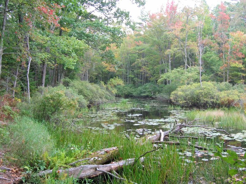
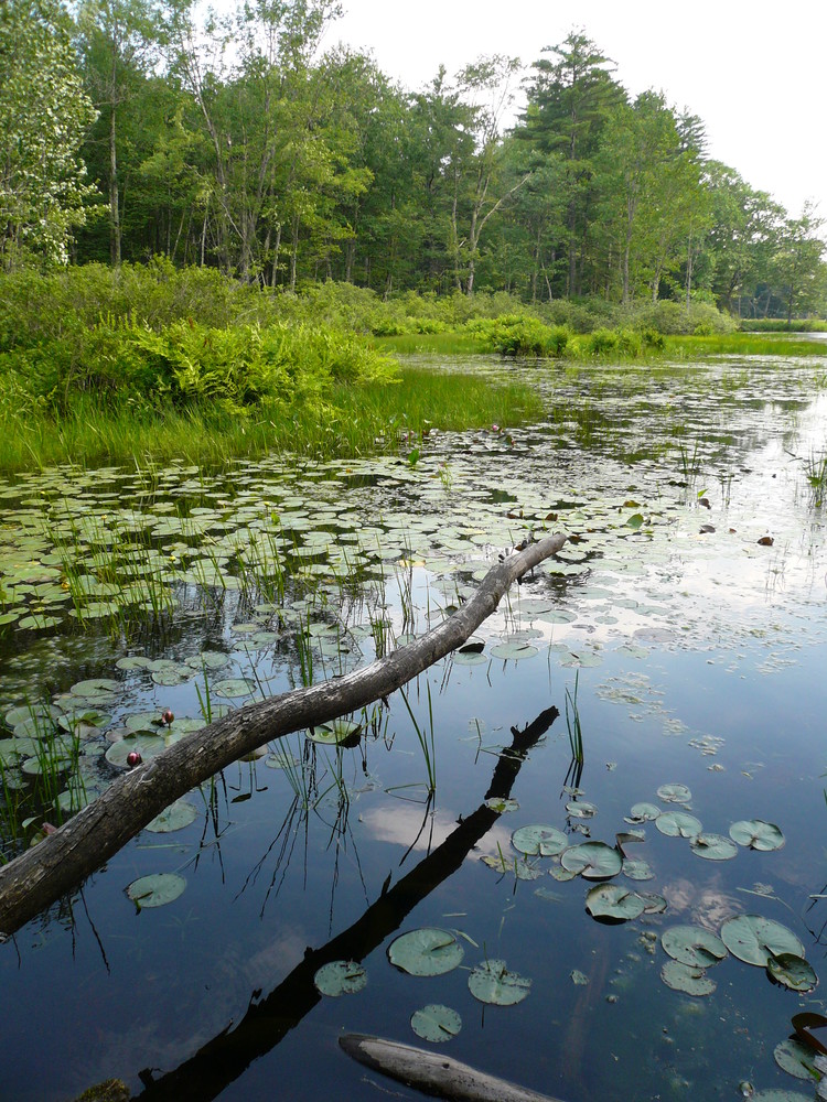
The Davis Stream trail is a just over half mile self-guided interpretive loop trail. Starting at the trailhead along the road, the trail leads back, skirting the cemetery, until it reaches the beginning of the interpretive loop. Davis Stream is what is known as a meandering stream; the flat landscape means that rather then follow a definitive course, the stream loops back and forth and changes course over time. This is evidenced by trees along the stream that are falling over where the bank has moved out from under them. Several spots along the stream, including one where the stream takes a 90 degree turn, offer excellent wildlife watching. A ridge along the loop provides a noticeable difference in wildlife habitat than the floodplains visible below.

Trail Manager

Visit the Midcoast Conservancy website for more information or contact:

Midcoast Conservancy

Midcoast Conservancy
290 US Route One
PO Box 439
Edgecomb, ME 04556
Phone: (207) 389-5150
View website

Nearby Events

VIEW EVENTS CALENDAR

Trail Tips

Plan Ahead and Prepare
Be prepared for emergencies. Pack extra clothing, food, and water and also a flashlight, first aid and repair kit, matches/fire starters, whistle, signaling mirror, and pocket knife.
Legend
Hide All

Trailhead Information

From US Route 1 in Nobleboro, take East Pond Road for 6.9 Miles to ME Route 32. Turn left and follow ME Route 32 for 0.7 Miles. Turn right onto ME Route 126 (Washington Road), and follow it for 0.3 miles. Parking is at the Willow Grange on the right. Walk north along the road past the cemetery. The trailhead is located just past the cemetery on the right. Please do not walk through the cemetery.

Click on a parking icon to get custom directions
Please Log In or Create Account to add comments.
ajencks
August 17, 2020
The road to the trail head which goes along a graveyard was closed off with a rope so I parked at the grange hell up the road and walked along the road with my dog a short distance to get to the trail head (which wasn’t ideal because there is no breakdown lane along the road so you have to walk along edge of the road). It appeared there was Cyanobacteria near the drain pipes prior to the trail head but the water along the lily pad area was clear.
These awesome businesses support our goal of connecting people to outdoor adventures in Maine!
Hang Tight!
Nearby services are loading
No Results
No Services Found
SHARE THIS TRAIL

Add Trail Log

Please wait…
Join In on the Fun!
Log in or create an account below to unlock all the great features of Maine trail finder: keep track of trails you want to do, preserve memories of trails you’ve done, earn badges, and more!
Your log in attempt was not successful. Please try again.
    Lost your password? Reset your password
    Don't yet have an account?
    There was an issue with your submission. Please try again.
      * Indicates required field
      Already have an account? Login here
      Enter your username, and we will send you a new, randomly generated password to your email account.
      There was an issue with your submission. Please try again.

        Success! A new password has been emailed to you.

        Log in now

        Please wait…