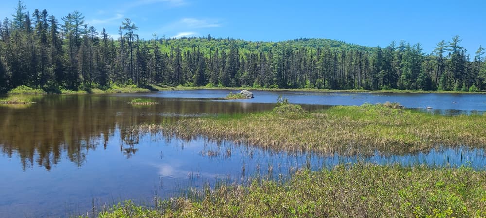
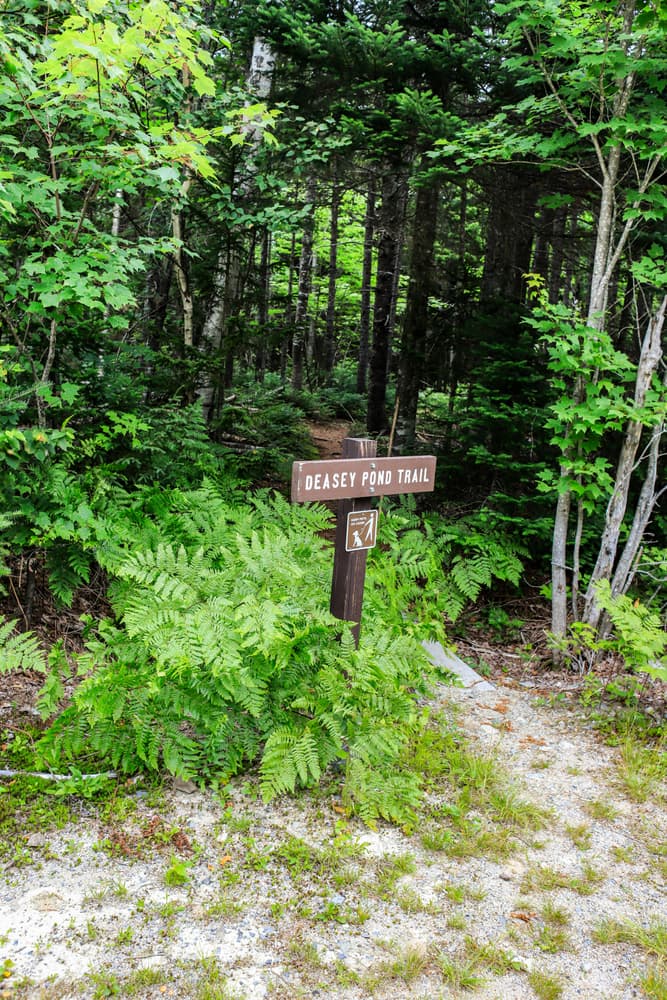
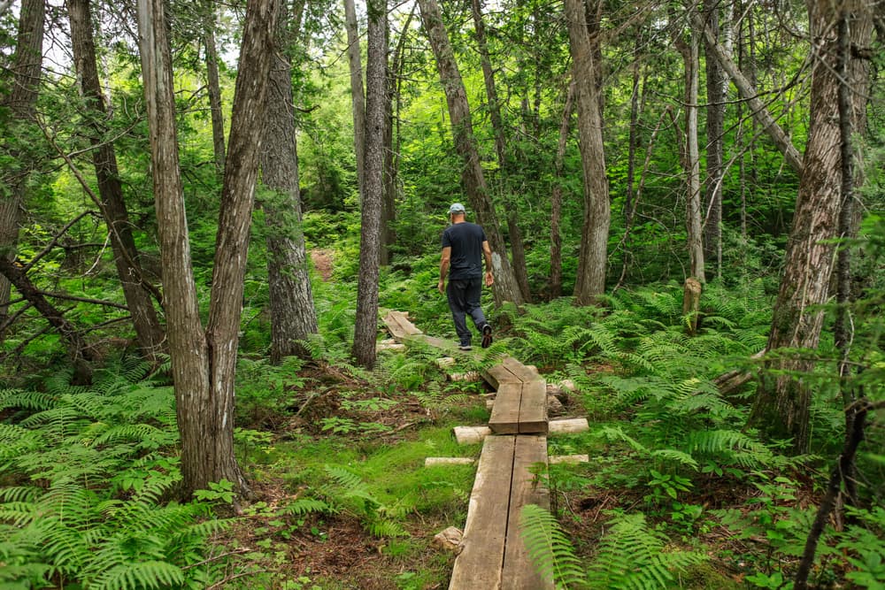
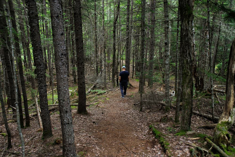
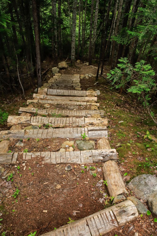
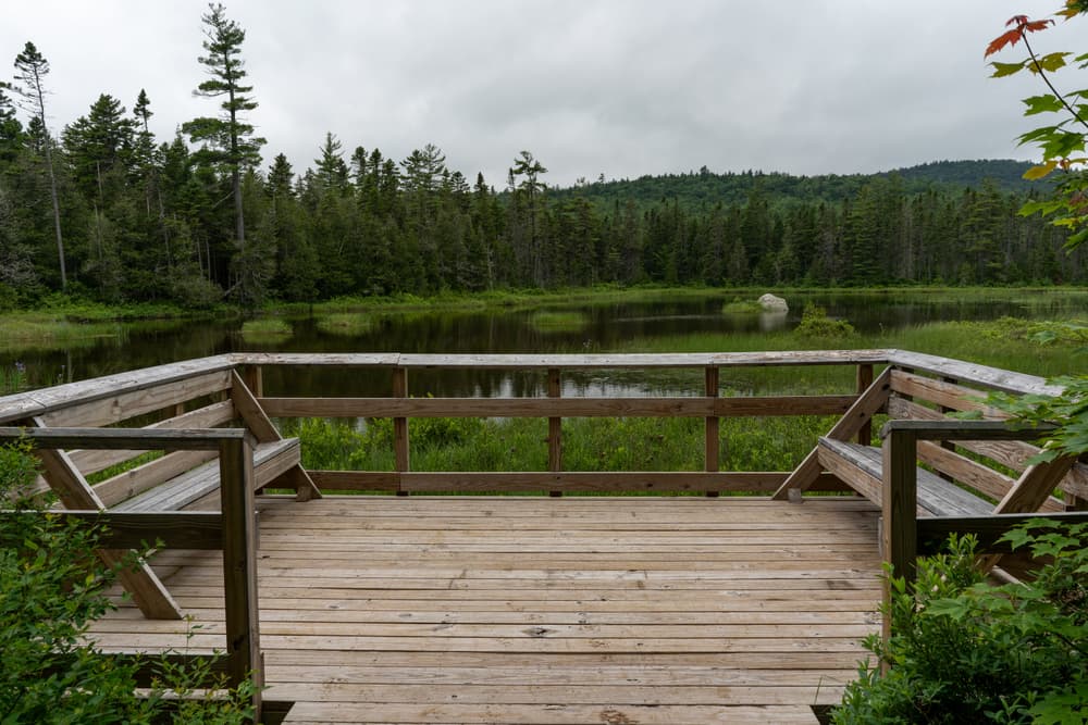
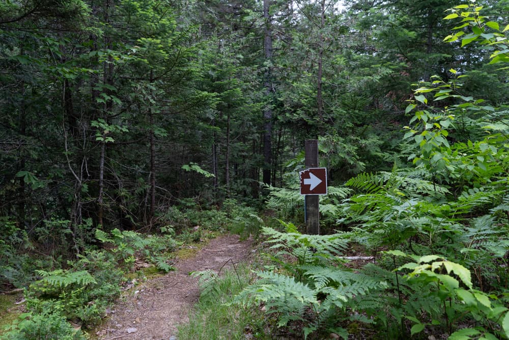
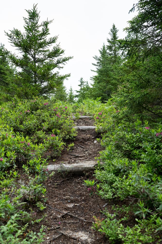
The Deasy Ponds Trail begins at a trailhead just east of the gravel parking area. The trail has a primarily dirt and gravel surface, with some larger rocks in places. Along the trail there is a set of log steps, and further along there is a raised section constructed with logs to help keep your feet dry. There is a wooden viewing platform at the end of the trail from which to view Deasey Ponds.
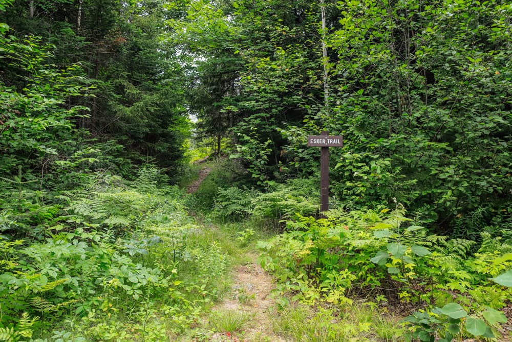
The Esker Wetland Trail departs across the road from the same parking lot, and heads south through a wetland ecosystem formed by Sandbank Stream. This trail is 1 mile round trip and has 47 feet of elevation gain. The trail begins from rock steps down to a dirt trail that meanders through a boreal forest and along the esker. After a steep set of log stairs, continue to the right to get to the wetland viewing area. (Heading left leads to the KWW welcome sigh and Loop Road Gate).
Hiking out and back on both the Deasey Ponds and Esker Wetland Trails makes for a hike of 2.4 miles.
For more information, visit Katahdin Woods and Waters online or contact:

Give Back: Look for ways you can give back to the communities and organizations that make Maine’s outdoors great. Consider integrating volunteer work into your trip, or make a donation to local conservation groups.

From the Staceyfield Road, just past the road leading to the Tekakapimek Contact Station on the right, turn left onto Swift Brook Road. Go 4.9 miles and continue straight onto the Katahdin Loop Road. The parking lot for the trailhead is another 0.5 miles down the Loop Road.
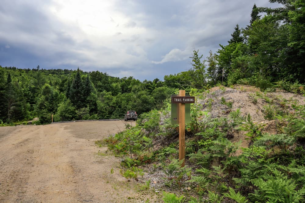
This parking lot accomodates approximately 10 vehicles and has one way traffic. Please follow the enter and exit signs accordingly. The surface of the parking area is made of dirt, gravel, and rocks. It is leveled, but the surface can be uneven and muddy depending on the season. There is an ADA vault toilet located to the left by the entrace. There is no potable water.
Success! A new password has been emailed to you.