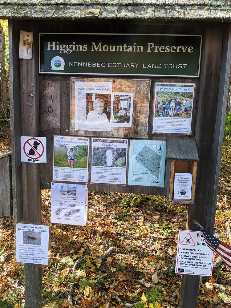
In 2000, the Higgins Mountain Preserve was donated to the Land Trust. This preserve provides stunning views of the coast from atop the bedrock outcrops of the mountain. A short loop trail leads from a small parking lot on the west side of ME Route 127 and winds through the forest to the rocky summit.
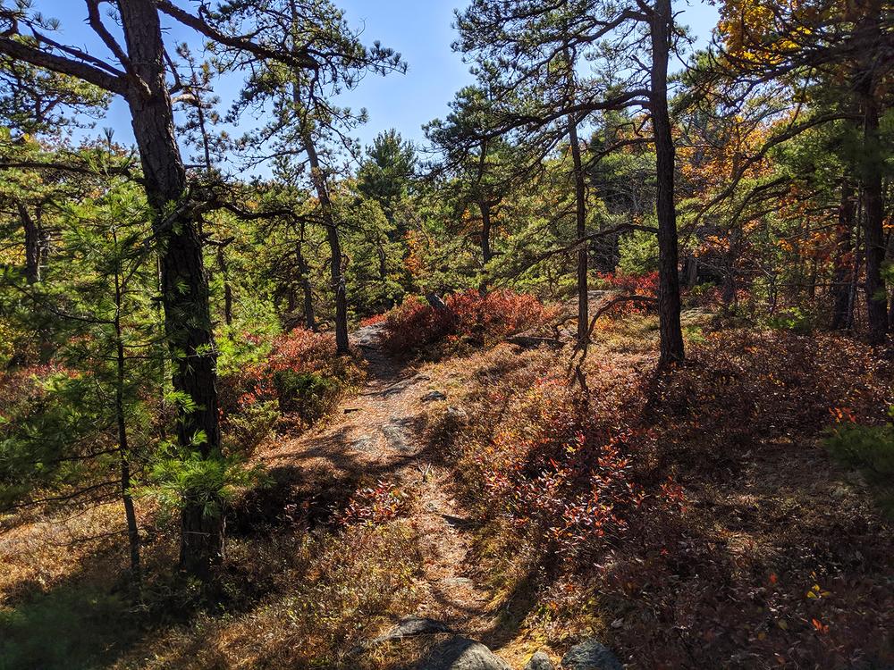
Higgins Mountain is one of the highest points on Georgetown Island, with an elevation of 259 feet above sea level. The lower slopes of the mountain are dominated by red oak, maple, and birch, creating habitat for warblers, woodpeckers, and owls. Pitch pine and blueberry grow on the upper slopes. One of the region’s finest displays of rare broom crowberry (Corema conradii) is found on the summit.
Higgins Mountain was burned in the Great Georgetown fire of 1908, and has experienced smaller fires since then. In the summer of 2004, a wildfire burned two acres at the top of the mountain. Land Trust volunteers are closely watching the recovery of the vegetation.
It offers views from the summit east and south to Monhegan Island, Seguin Island, and the Gulf of Maine. Deer, fox and raccoon forage on the land. The Preserve is predominantly second and third growth woodland. Parts of the mountain have been logged repeatedly, most recently in the 1950s.
The Preserve is open free of charge from dawn to dusk. Please help us protect what you have come to enjoy. Natural areas are delicate. Foot traffic only; no camping, fires, smoking, trail bikes, pets, or motorized vehicles. Carry in, carry out. Please respect boundary signs and enjoy your visit.
Visit Kennebec Estuary Land Trust online for more information or contact:

Know the Rules and Be Prepared: Research local regulations, including permits and fire restrictions, on sites like Visit Maine. Pack plenty of food, water, and the other Ten Essentials before heading out on your adventure.
Take ME Route 127 south from US Route 1 and go 7.6 miles. Look for roadside parking and kiosk for the preserve on the right.
Success! A new password has been emailed to you.