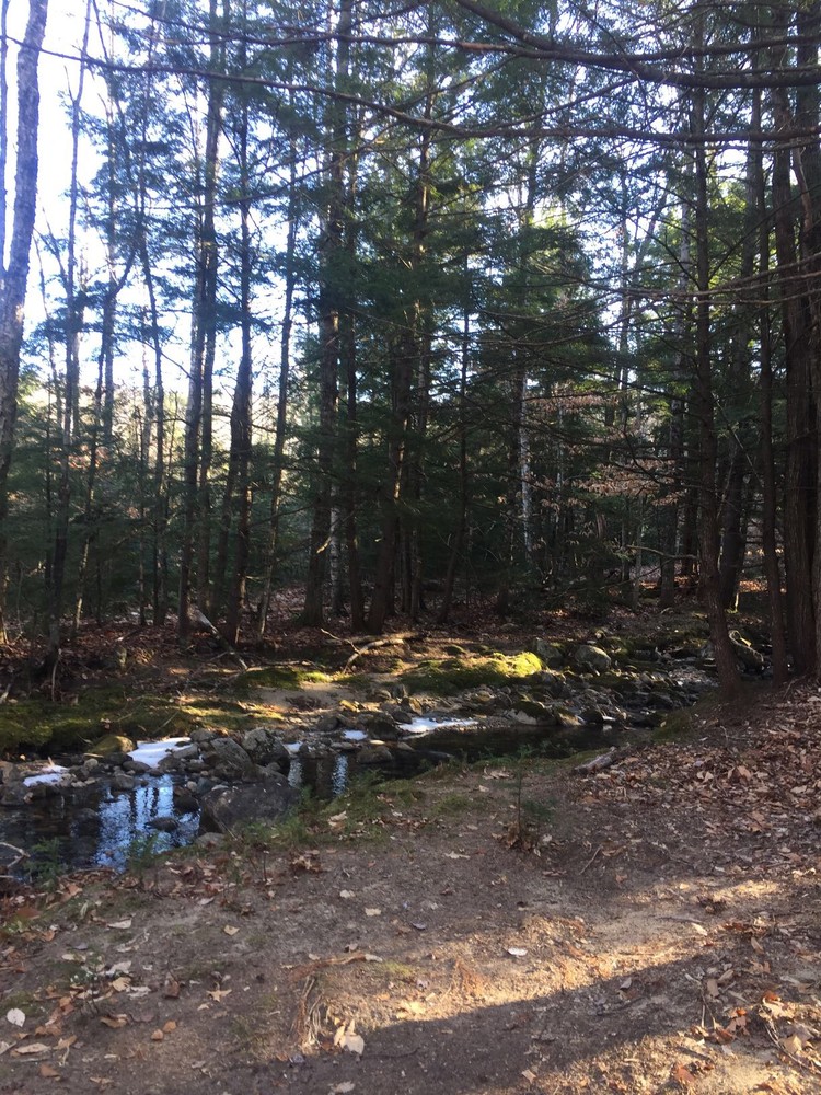
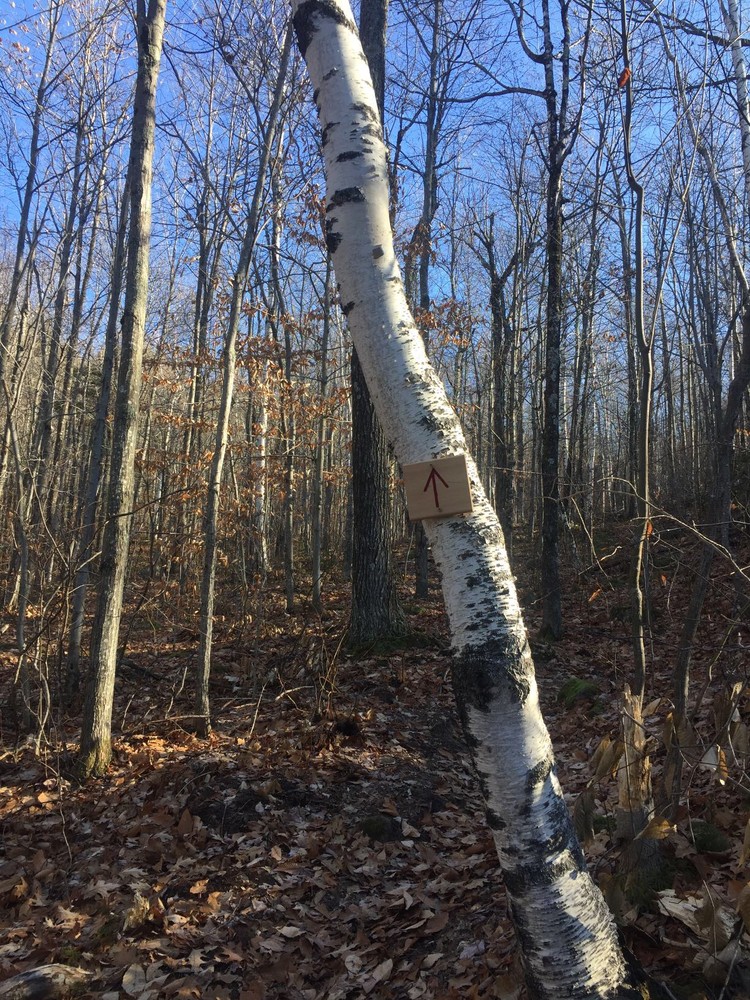
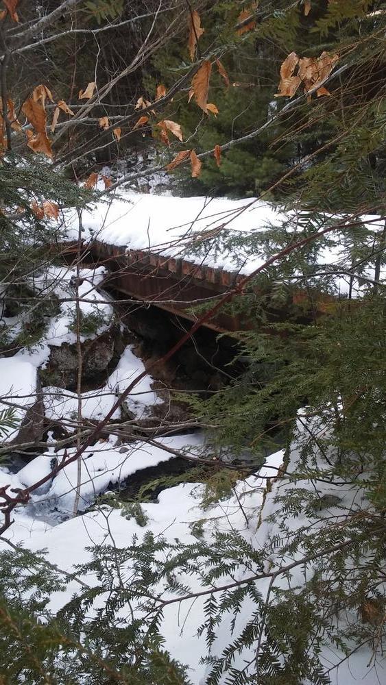
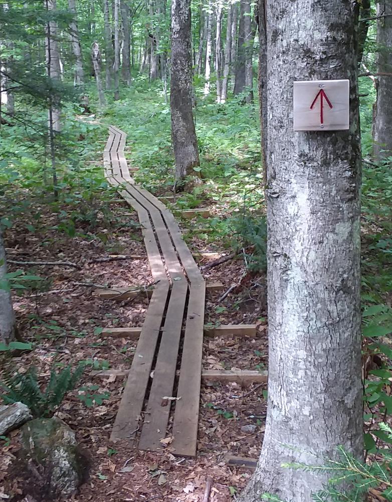
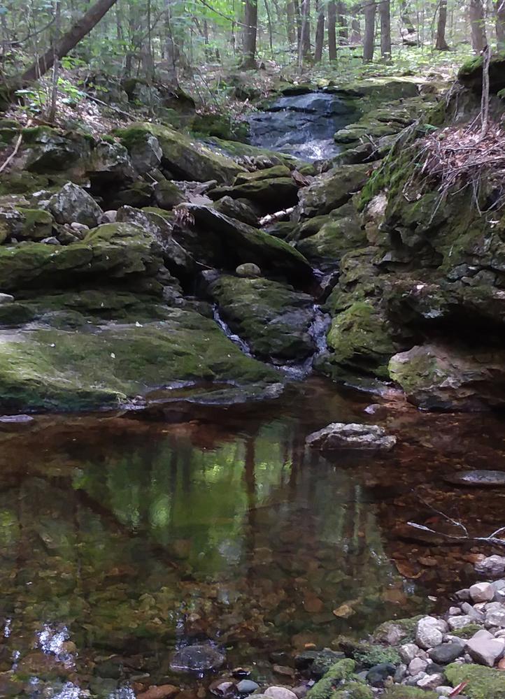
The Long Mountain Trail begins just east of the parking lot at the trailhead. Cross a sturdy bridge with gravel ramps just before you get to the sign at the trailhead. The sign reads, “Long Mt. Trail, Hidden Falls 1.25 miles.” You’ll find a trail register on the path just a few feet past the trailhead. Many red arrows direct the way along the length of the route. The trail begins winding through marshy lowlands along well built bog bridges and soon begins following Mill Brook, headed east south east along the Brook and often crossing its small tributaries. At mile 0.5, take a left onto a dirt road and cross the brook on sturdy bridge. The trail continues on your right just after the bridge and continues heading upstream with the Brook on the right. You’ll spot small pools and cascades along the way as you slowly gain elevation.
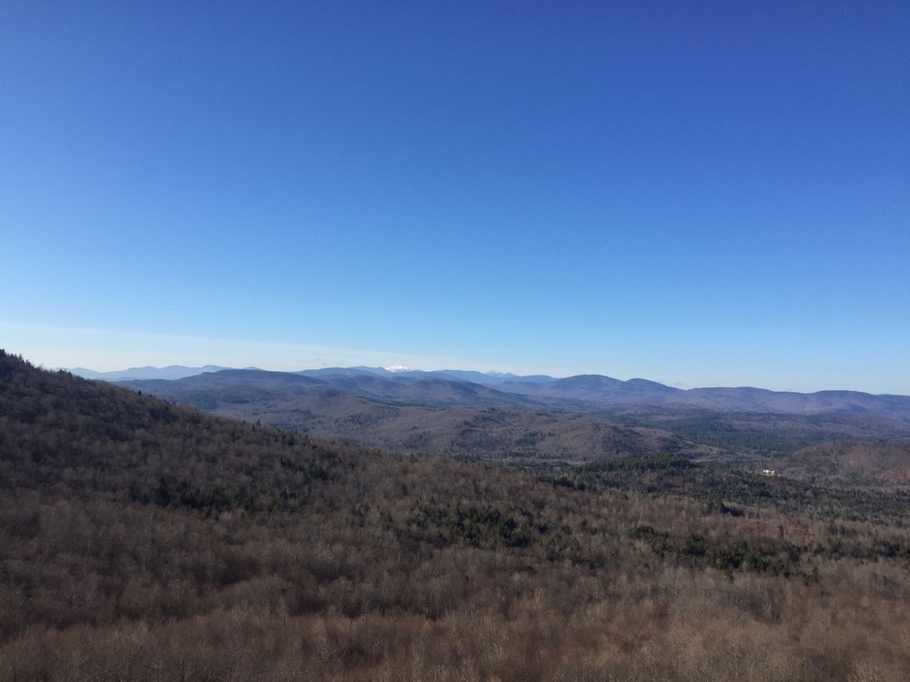
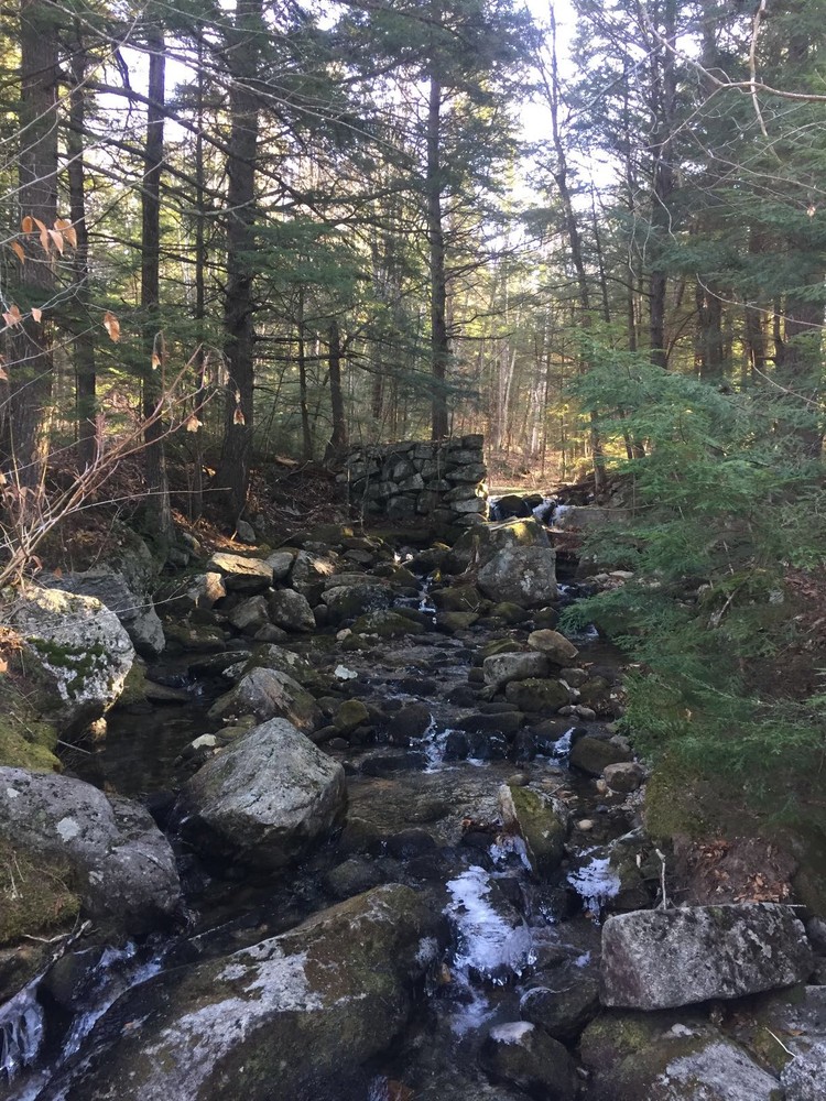
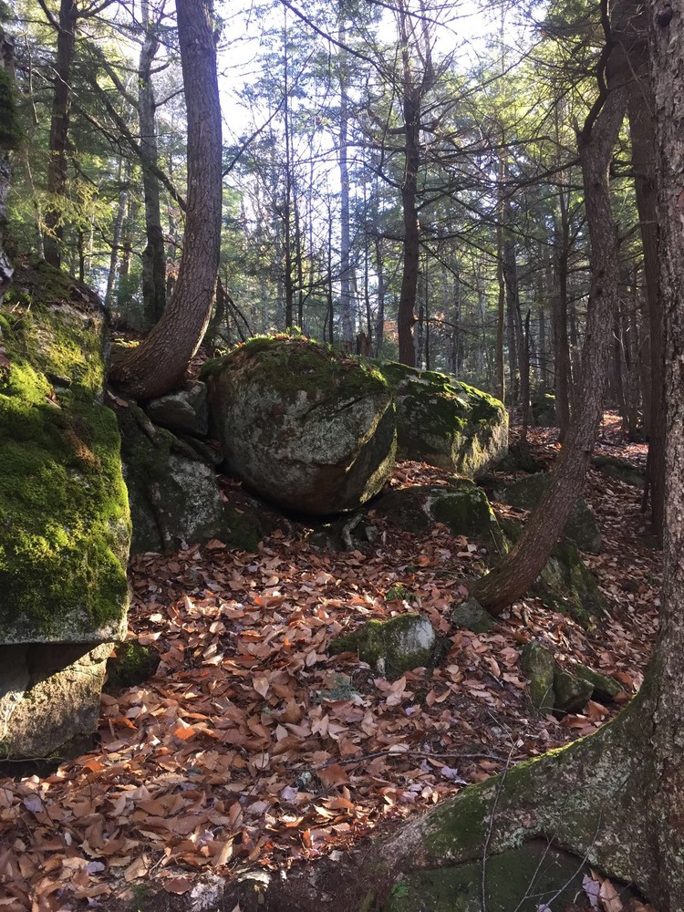
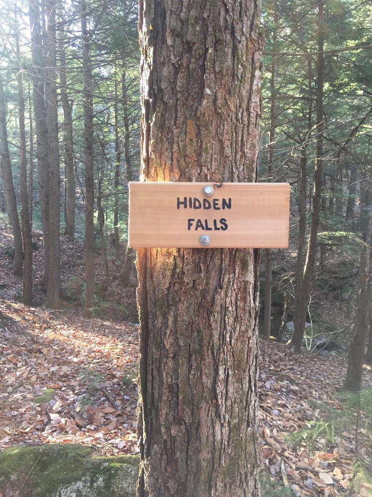
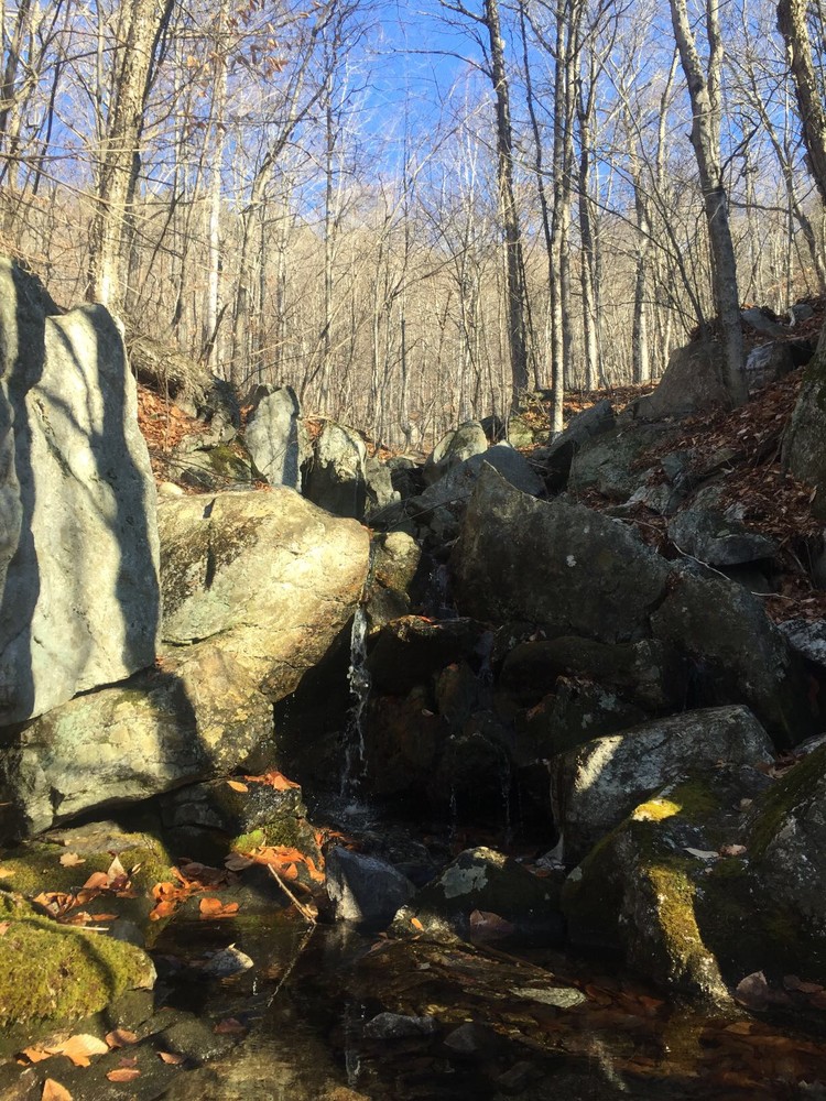
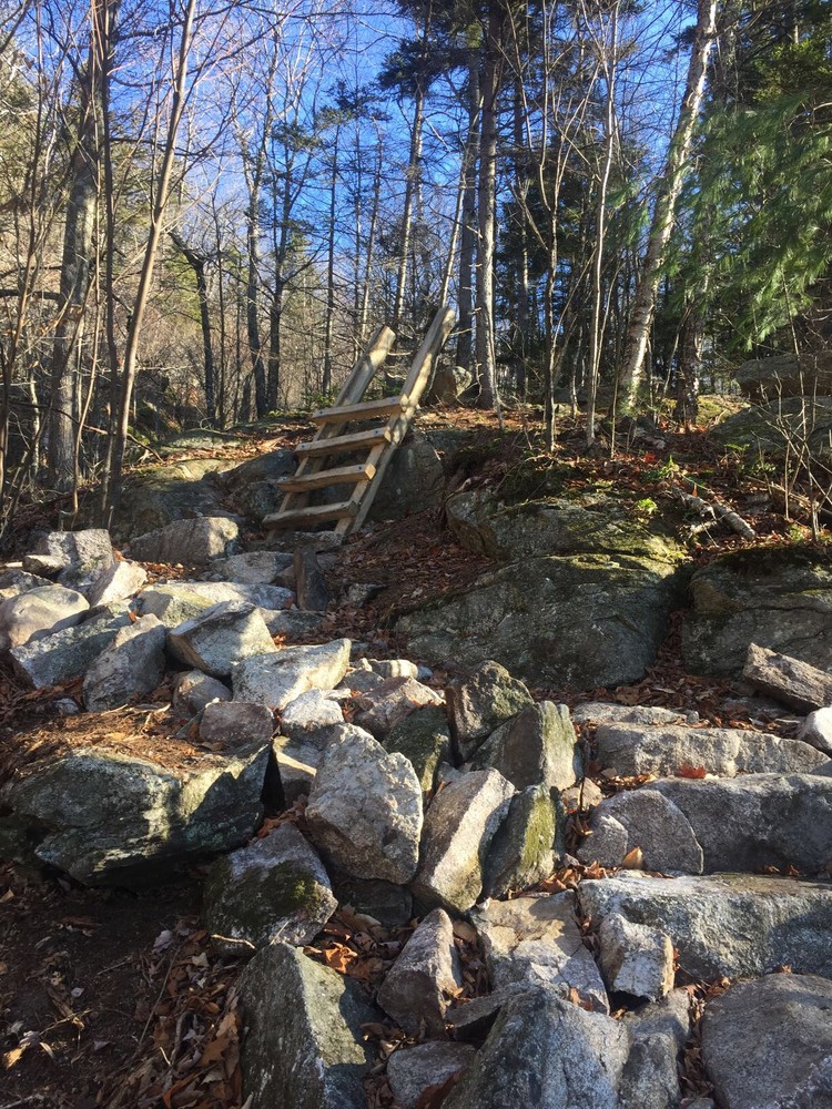
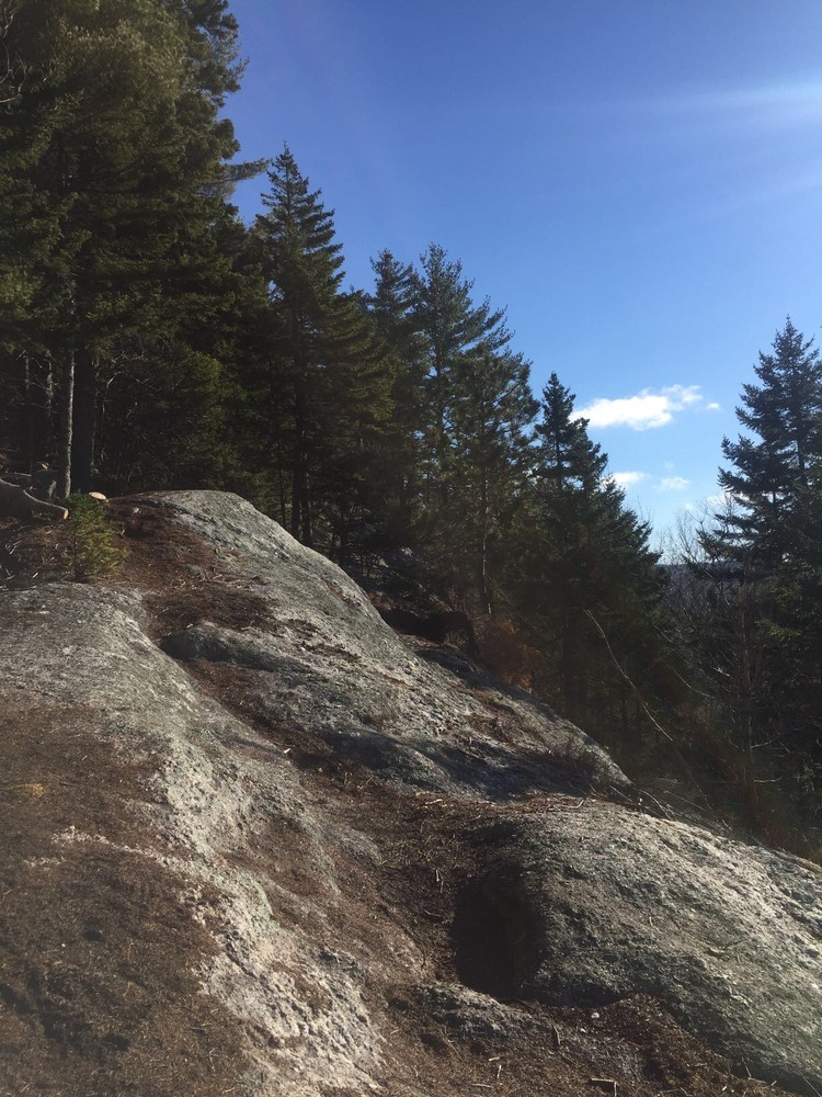
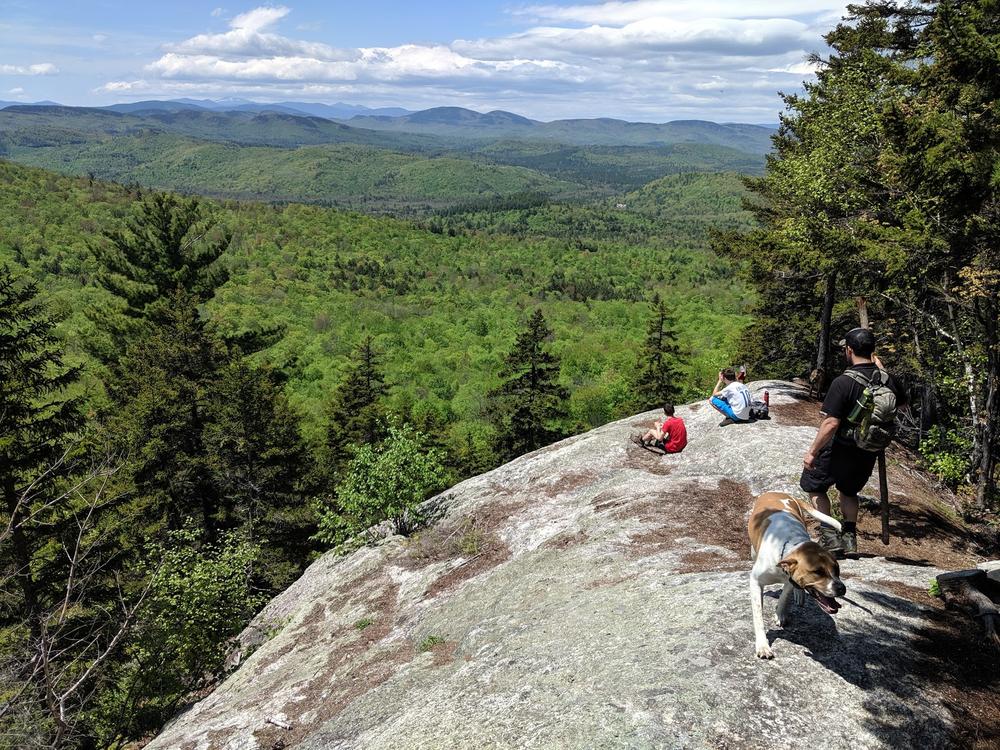
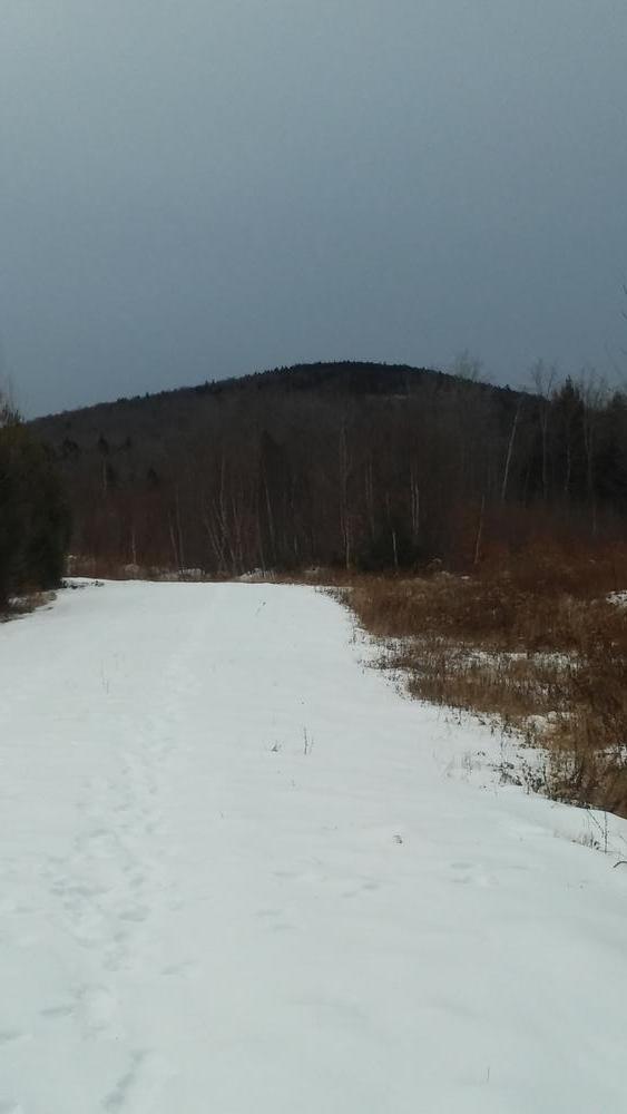
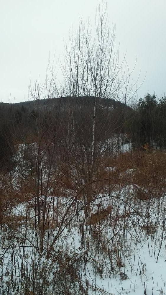
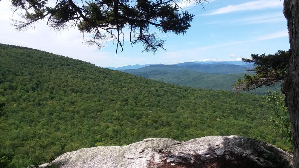
At the start of the trail you’re hiking in a valley created by Bacon Hill to your right and the bottom ledges of Long Mountain on your left. As you rise out of the valley you’ll transition from a relatively young forest of mixed spruce and fir and deciduous trees to a majority young mixed hardwood forest. At mile 1.2 you’ll arrive at the Hidden Falls - a series of cascades and small waterfalls along Mill Brook. The trail leaves the stream bed and begins to head east. At mile 1.5 you’ll notice the trail getting steeper as you begin to switchback up the west face of the ledges of Long Mountain. There are occasional steeper sections and one ladder section. At mile 2.2 the trail reaches the large, open South Ledge with sweeping westerly views of Western Maine, Mount Washington, Mount Adams, the Presidential Range, and the Carter-Moriah Range.
From South Ledge, the trail continues breifly to the south, before bending north to create a loop. 1.3 miles from South Ledge (3.5 miles from the trailhead) the trail reaches North Ledge that offers additional sweeping views. At 4.8 miles, the loop returns to the original ascent trail, along which it is another 0.85 miles back to the trailhead. A hike up, around the loop, and back down, makes for a total distance of a 5.65-mile hike.
Long Mountain is owned by private landowners. They maintain this trail at their own expense for public use. Please respect the property to help ensure it can remain open to the public. Camping and fires are not allowed and please carry out what you carry in.
Long Mountain is privately owned. For more information please contact:
Bruce Barrett
Respect Maine’s “Open Land” Tradition: In many places, private landowners allow recreational access. Show your appreciation by seeking permission, treading carefully, and educating yourself on this uniquely Maine tradition.
The trailhead is marked with a wooden sign that reads “Long Mt Trail.” The parking area also serves a mountain bike trail network on Bacon Hill. Be sure to head left at the trailhead marker or you’ll miss the path up Long Mountain.
From the North: From Main Street in Bethel Village, head south on Vernon Street for 6 miles. Pass Sumner Bean Road on your left, and the next left is the trailhead.
From the South: From Main Street in downtown Norway, head west on ME-118W/Lake Road for 9 miles. At the sign for Papoose Pond Campground bear right onto Hunts Corner Road. Continue on Hunts Corner Road for 7.7 miles. At the old Albany Grange Hall, bear right onto Vernon Street. Continue for 0.9 miles and the trailhead will be on your right.
Success! A new password has been emailed to you.