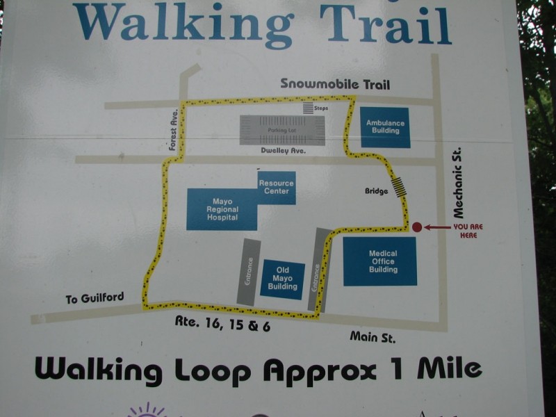
The Mayo Regional Hospital's Community Walking trail is a short 0.7 mile walking path that encircles the Hospital's campus. With surfaces like pavement and mowed grass, the walking is quite easy, especially since the campus is relatively flat.
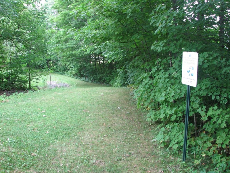
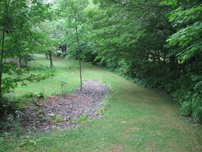
Beginning from the northeast corner of the Medical Office Building and heading counter-clockwise, the path follows a grassy path through a wooded area. The path emerges on Dwelley Street and continues around the Ambulance Garage. The walking trail connects with an old railroad bed, now a rail trail. Take the rail trail heading west for around 0.2 miles. The path passes a wooden set of stairs on the left and a park to the right. Leave the railroad bed when it intersects with Forest Street. Following Forest Street south, head straight into the woods at the end of the road. The path will emerge from the forest on the lawn in front of the hospital. The trail continues along the tree line and then meets with the sidewalk that parallels Guilford Road in front of the hospital. From here the walking path navigates through the parking lot back to the northeast corner of the Medical Office Building.

This trail passes through a property that was acquired in part with funds from the Land for Maine’s Future program. For more information about the LMF program and the places it has helped to protect, please visit the LMF webpage.
For more information contact:

Recognize Working Forests and Waters: Maine’s landscapes are not just for recreation—they’re also active, productive environments that support local livelihoods and communities. Forests may be actively logged; waterways are used for lobstering, clamming, aquaculture, and transport. For everyone’s safety, maintain a safe distance from active logging operations, and do not disturb working docks, fishing equipment, traps or buoys.
There is no main trailhead on the Mayo Regional Hospital's Community Walking trail in Dover-Foxcroft. There is visitors' parking available on the Hospital campus, which is most easily accessed off Guilford Road (ME Routes 16/15/6) about 0.3 miles west of the Junction of ME Routes 15 and 16 on West Main Street. The circular trail can also be accessed at several locations including Forest Street, Dwelley Street, and Guilford Road.
Success! A new password has been emailed to you.