McCoy-Gray Birch Back Country Trail
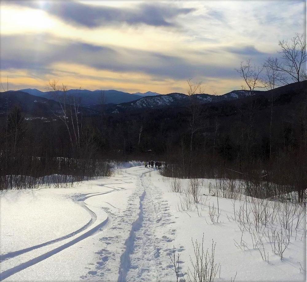
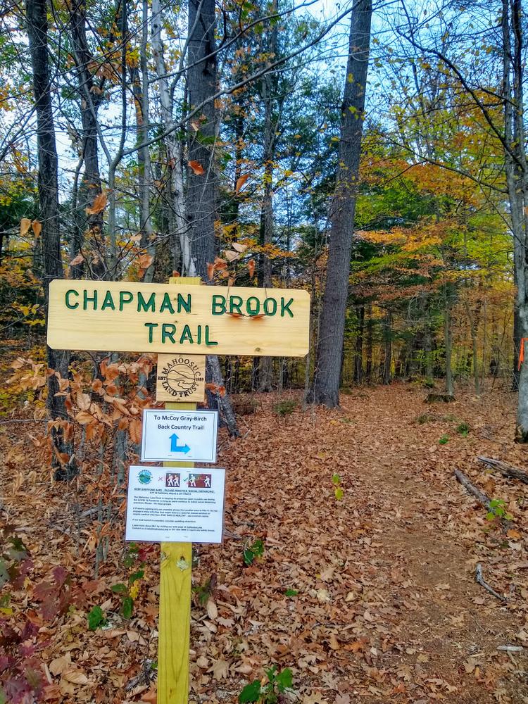
The trail starts from the east (opposite) side of the large field that includes the parking lot, and follows an old logging road north through the property. As an alternative, there is a short (0.3 mi) segment of the Chapman Brook Trail starting just beyond the parking lot,with left turn turn where it intersects the McCoy-Gray Birch Back Country Trail.
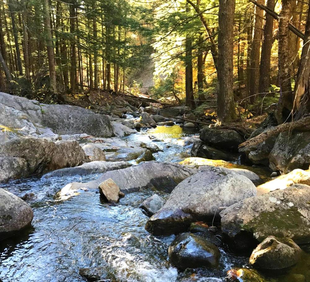
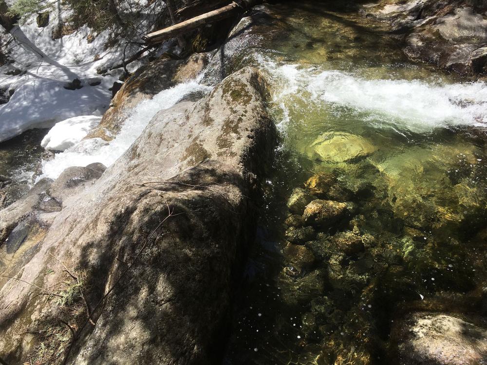
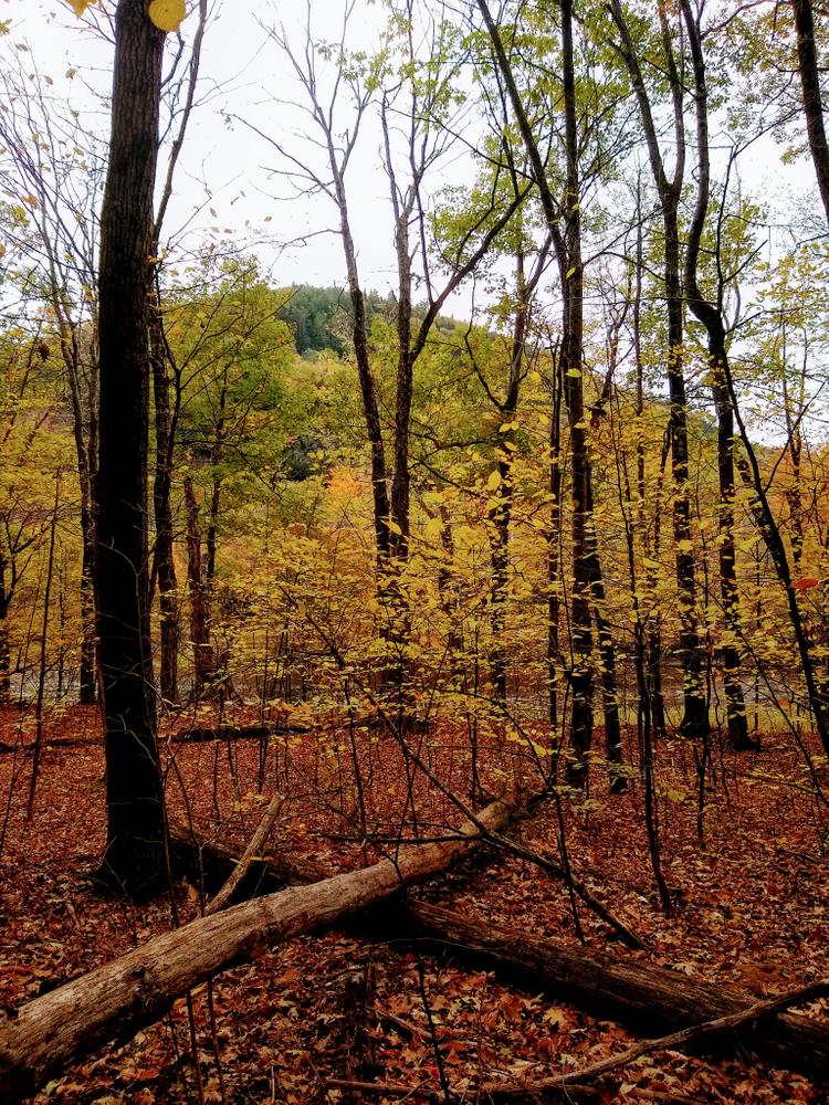
The trail crosses an old logging bridge over a branch of Chapman Brook and two smaller tributaries – the first of which is bridged, the second is not bridged at this time, but can be crossed easily. The gently graded trail runs through the woods to a newer logging road on the adjacent Gray-Birch LLC property. Please respect the landowner’s property and stay on the marked trail.
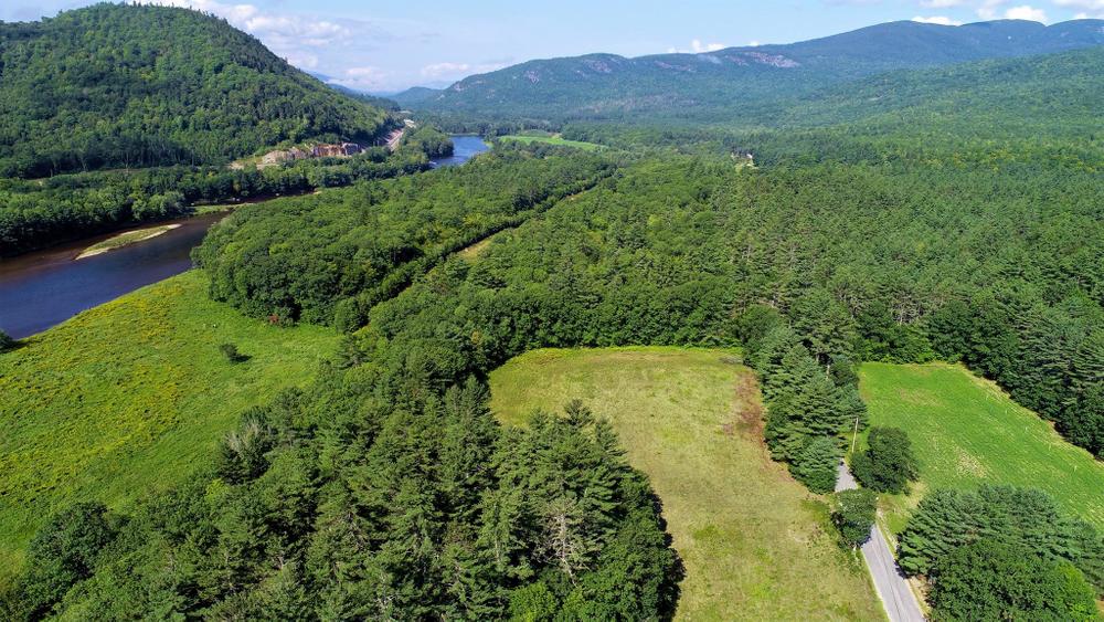
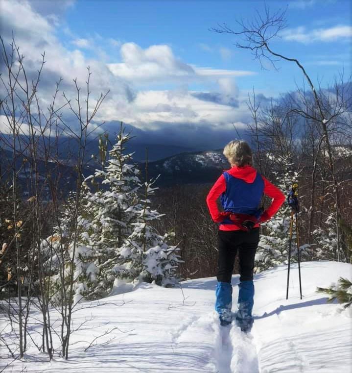
The views of the river valley get better as you follow this newer and wide-open logging road north-easterly for approximately 1 mile. The trail ends at the top of a small knoll on the right, with a bench and an outstanding view of the Androscoggin River valley looking west to the White Mountains in the distance (approximately 20 miles away). Return to the trailhead and parking lot by the same route, for a 4.5 total round-trip distance.
The trail is well marked with temporary signs and blue arrows on 3 foot stakes. Total elevation gain is approximately 750 feet.
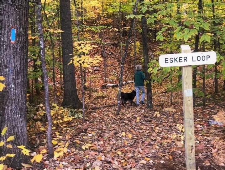
Esker Trail
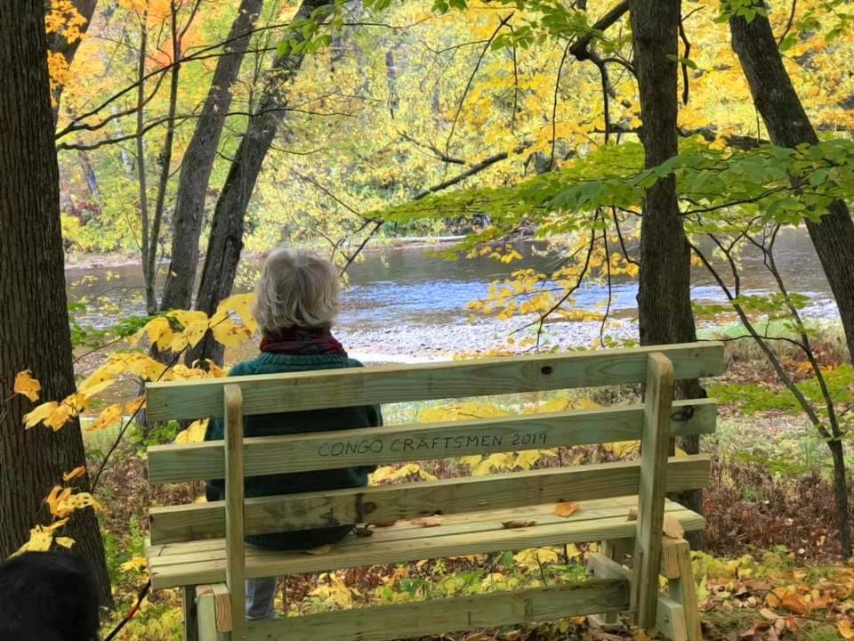
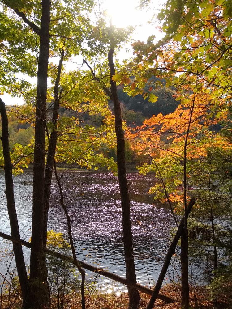
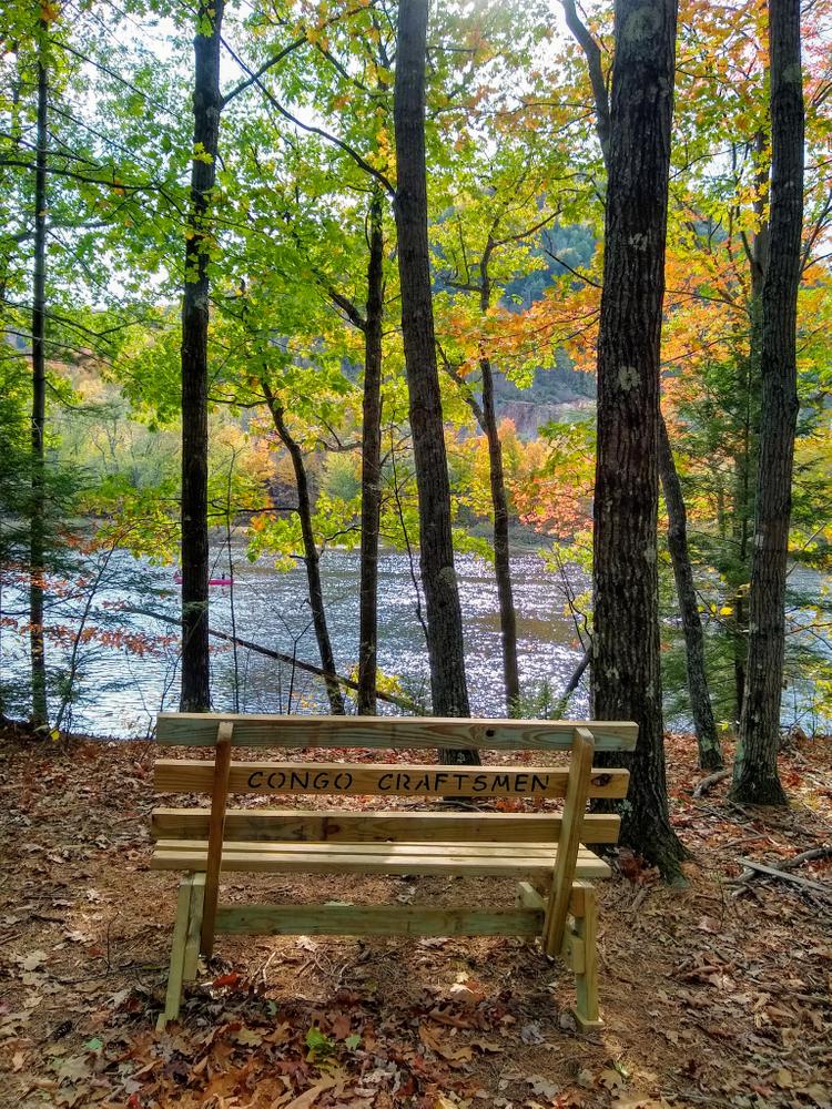
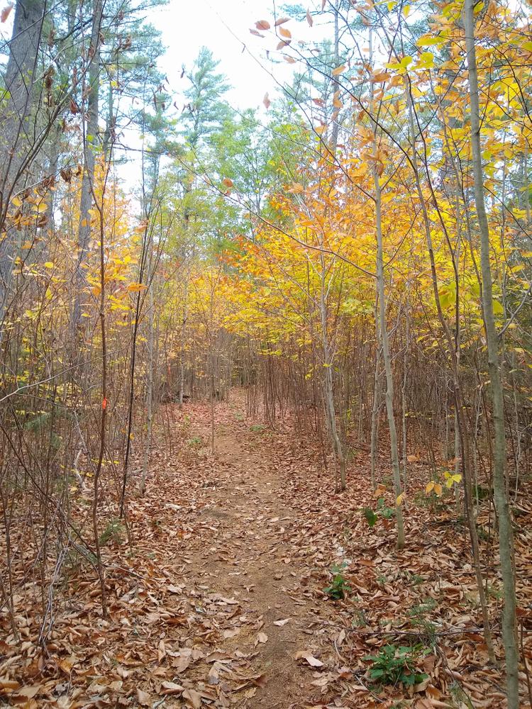
The 1.1 mile loop begins on the south side of the North Road, across from the parking lot, and is well marked with signs and a blue blaze. After a short traverse up the esker, the trail comes to a “T” intersection with the Loop. Hiking in a counter-clockwise direction, the trail descends the esker near Chapman Brook, crosses a utility pipeline, then approaches the bank of the Androscoggin River, with a bench overlooking a scenic view.
The trail then follows along the bank of the river for about 0.3 miles before looping back through the woods, and crosses the utility pipeline again. The trail follows an old work road for a short distance, before cutting into the woods and gradually climbs back up the esker. Follow along the top of the esker until returning to the “T” Intersection; turn right to descend back to the trailhead and parking lot.
HISTORY
Long before her estate deeded a stunning 493-acre parcel in Gilead, Bethel, and Newry to Mahoosuc Land Trust, Geneva “Ginnie” McCoy quietly let it be known that she had hopes that her North Road property would remain in a natural state after her lifetime. The McCoy-Chapman Forest is a critical piece of the forested land area between the developed part of Bethel and the mountain peaks north and west of town. It is uniquely placed to serve community and habitat needs, and to be part of a critical resilient landscape in the face of climate change.
Addition trails are planned on the property itself, with future trail connections to other recreational parcels in the area.
For additional information, visit the Mahoosuc Land Trust website, or contact:

Stay On Designated Trails: Staying on the trail protects fragile plants, keeps you away from hazards like poison ivy and ticks, and helps avoid forestry equipment.
From Bethel, head east on the North Road from US-2, the first road on the left after going north across the bridge over the river. A large parking lot for year round use is located on the north side of North Road, 5.3 miles west from the junction with US-2 in Bethel, and 4.5 miles west of Mahoosuc Land Trust's headquarters at Valentine Farm. A very small parking lot is located on the south side of North Road approximately 0.1 mile before the large parking lot, and is intended for use by individuals with mobility issues to access the Androscoggin River and the Esker Trail; this smaller lot may be gated in winter.
The trailhead for the McCoy-Gray Birch Back County Trail is located on the east (opposite) side of the large field from the large parking lot. The trailhead for the Esker trail is located on the south side of the North Road, across from the parking lot.
Success! A new password has been emailed to you.