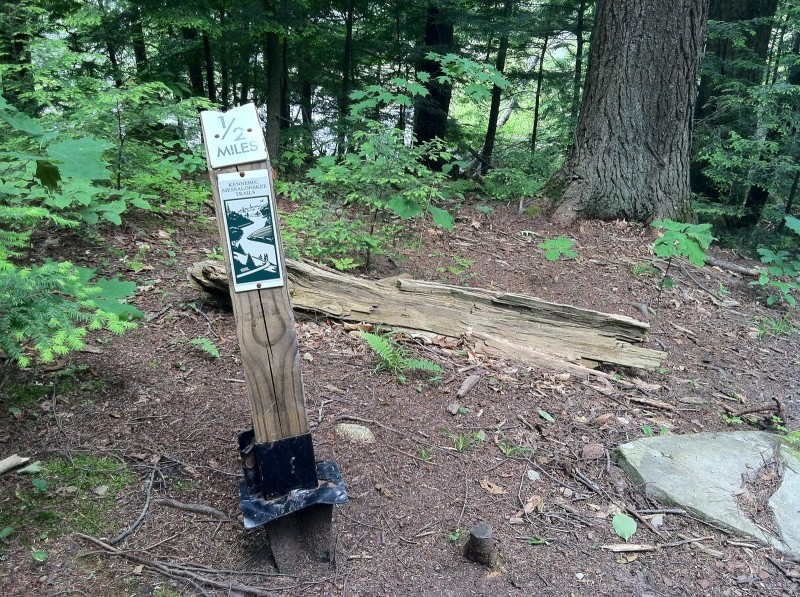
This two and half mile trail offers varied terrain, scenic overlooks and historic features. Here the trail is described starting from the southern trailhead heading north, though it can be accessed from either end.
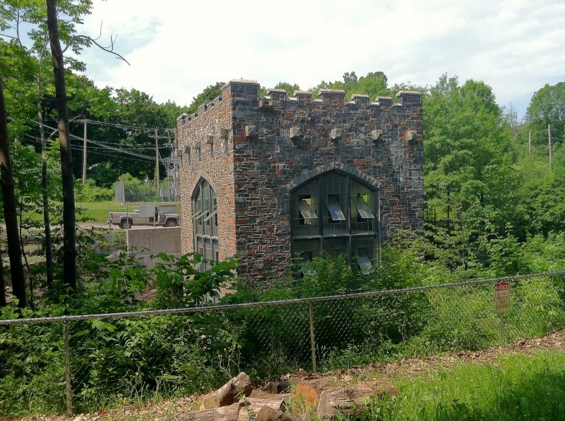
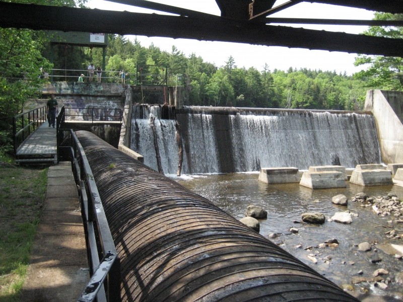
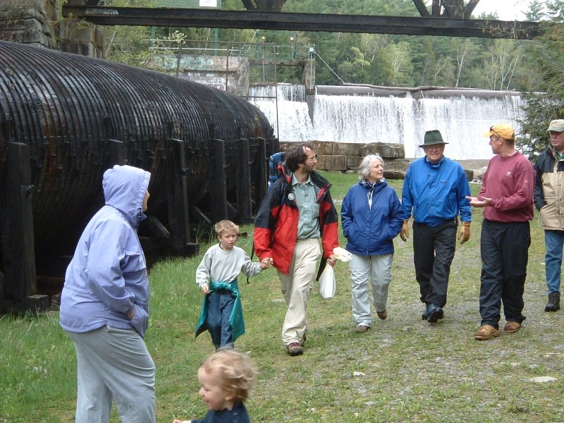
There is lots of history at the southern end of the trail. The parking area is on the foundations of an axe factory that gave Oakland its nickname "Axe Capital of the World". The trail leaves the parking area through a gap in a chain link fence. Check out a yellow fiberglass penstock pipe on the west side of the stream. It takes water to the castellated hydropower station, which was one of Central Maine Power's first. This waterfall (once called "Cascade Falls") is where CMP got started, as Oakland Electric Company.
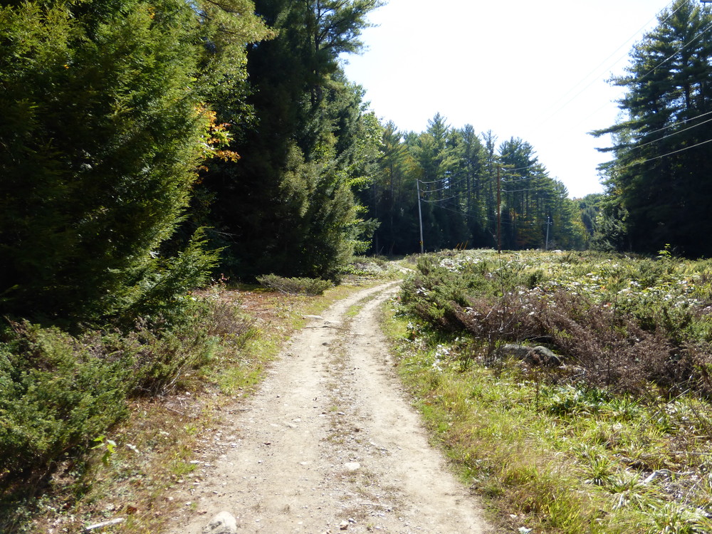
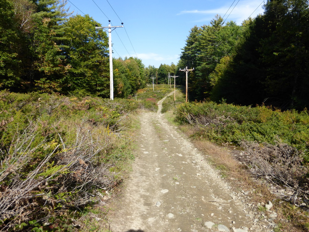
The trail proceeds into the woods and then crosses the power line easement (which has a nice mountain bike trail). The trail continues to follow the stream and on the left, the last remnants of the Cascade Woolen Mill can be seen on the other side of the stream.
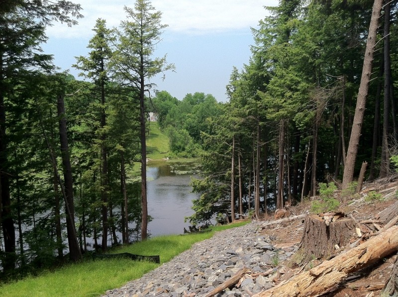
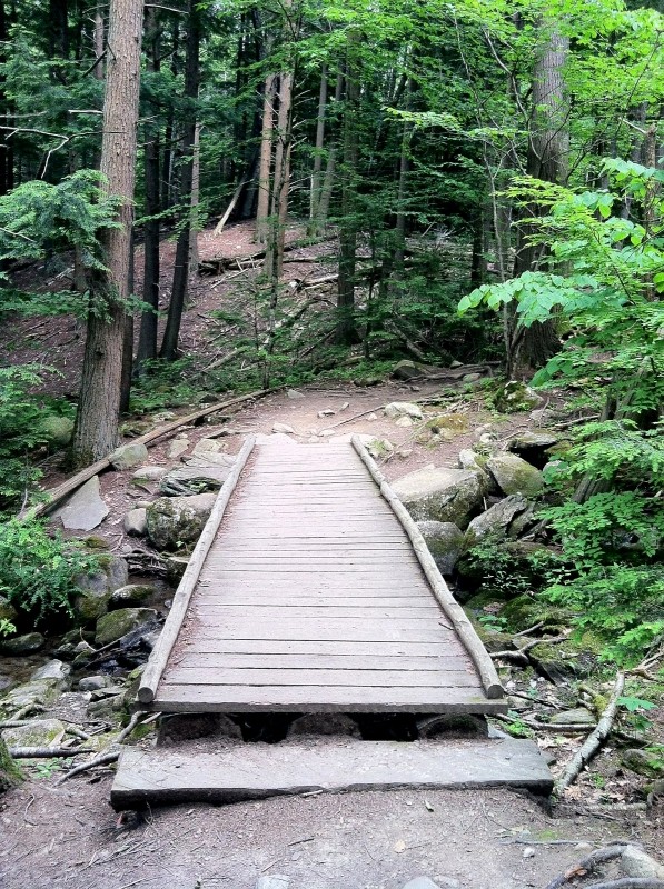
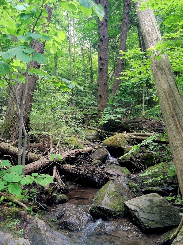
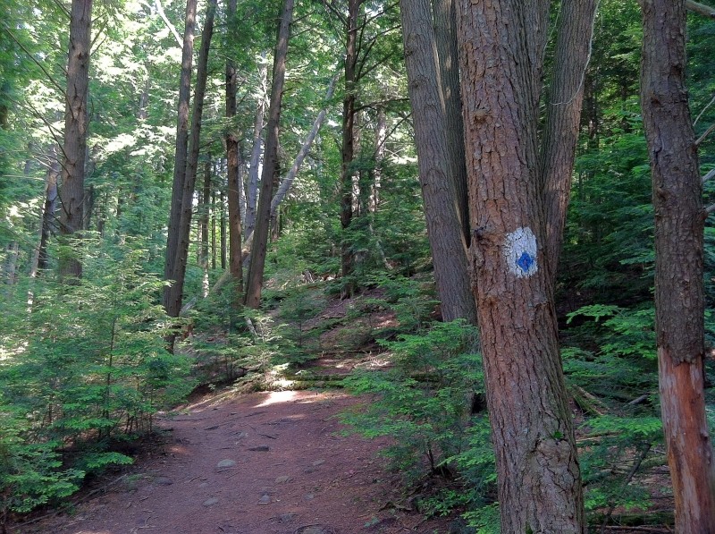
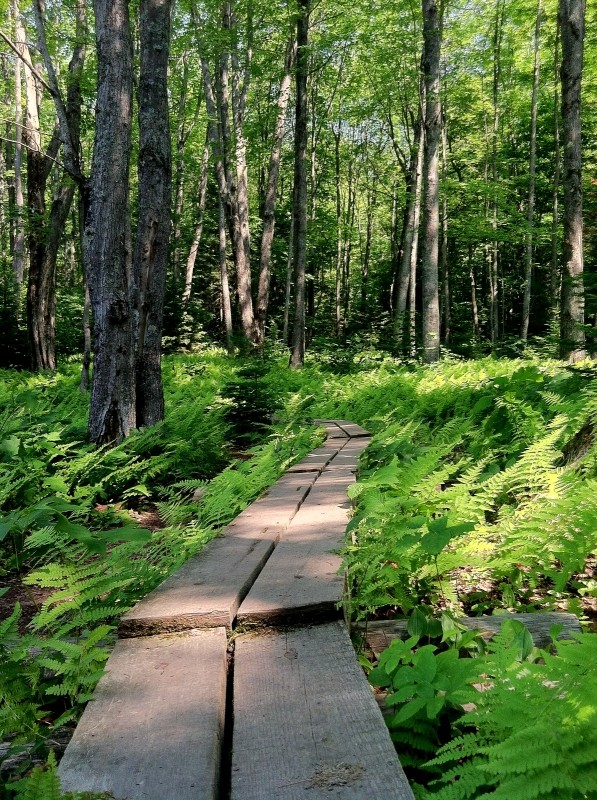
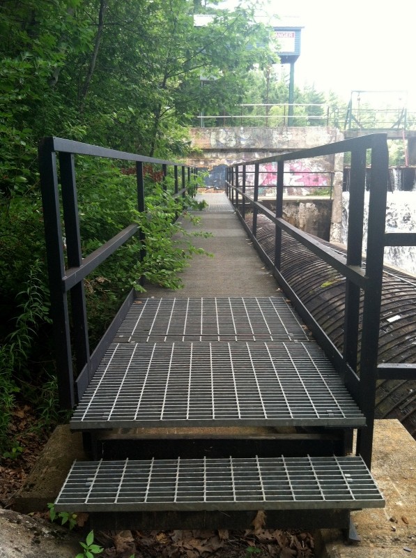
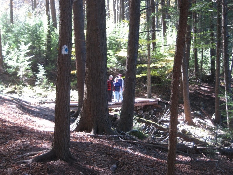
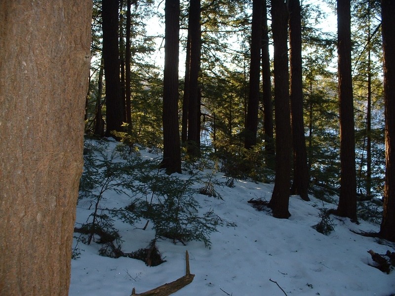
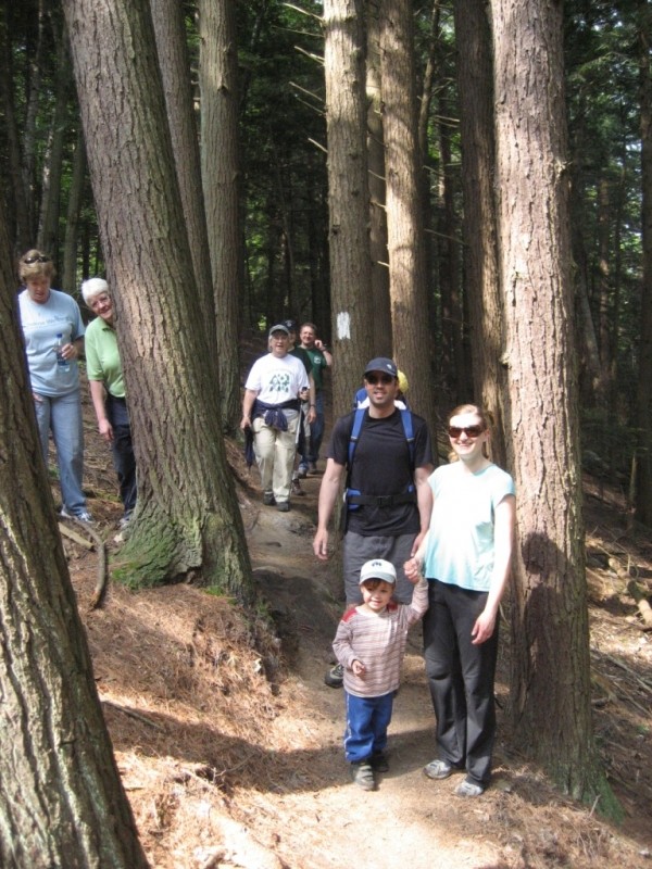
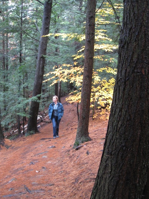
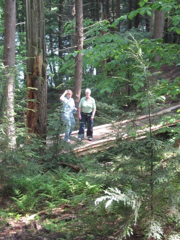
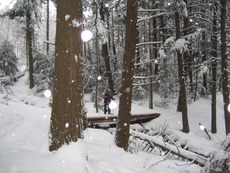
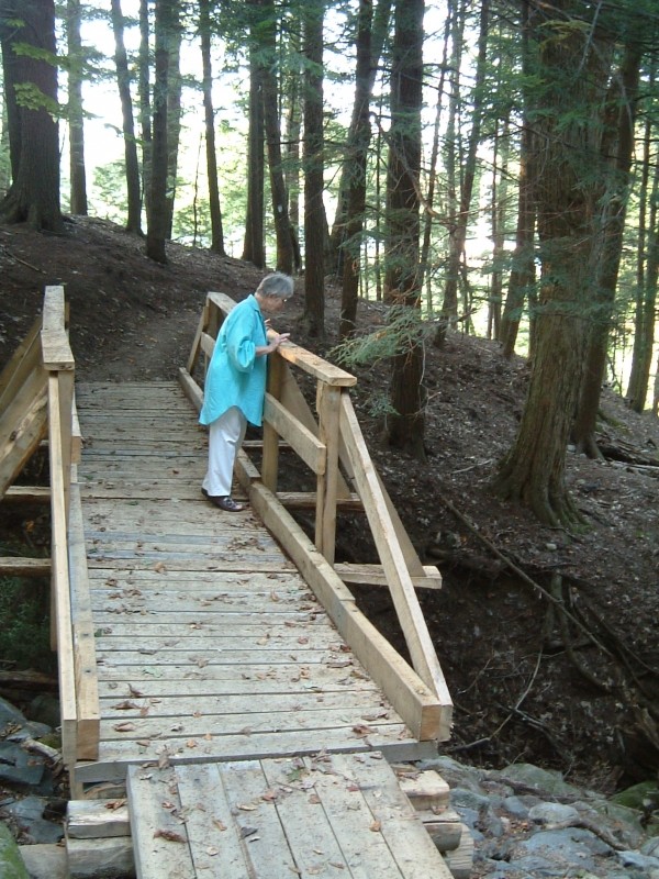
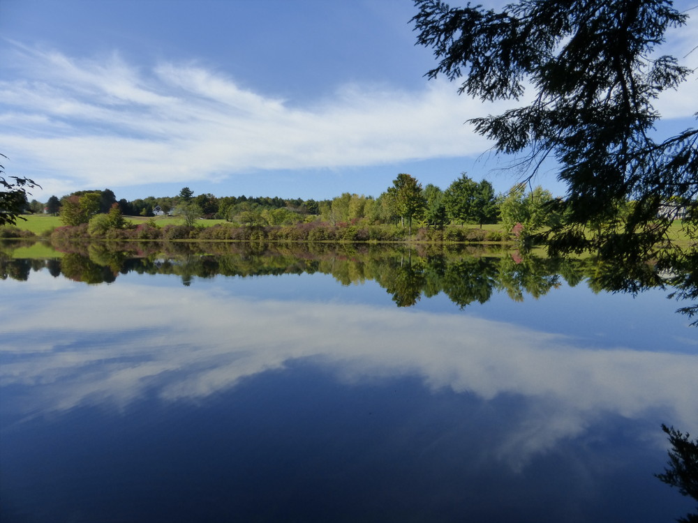
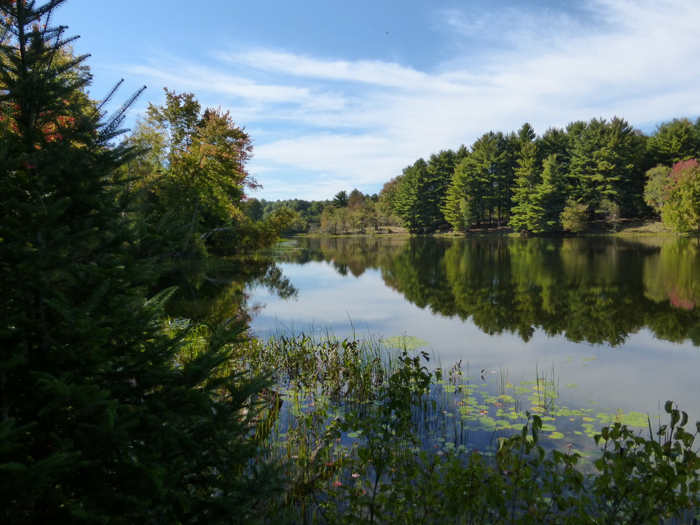
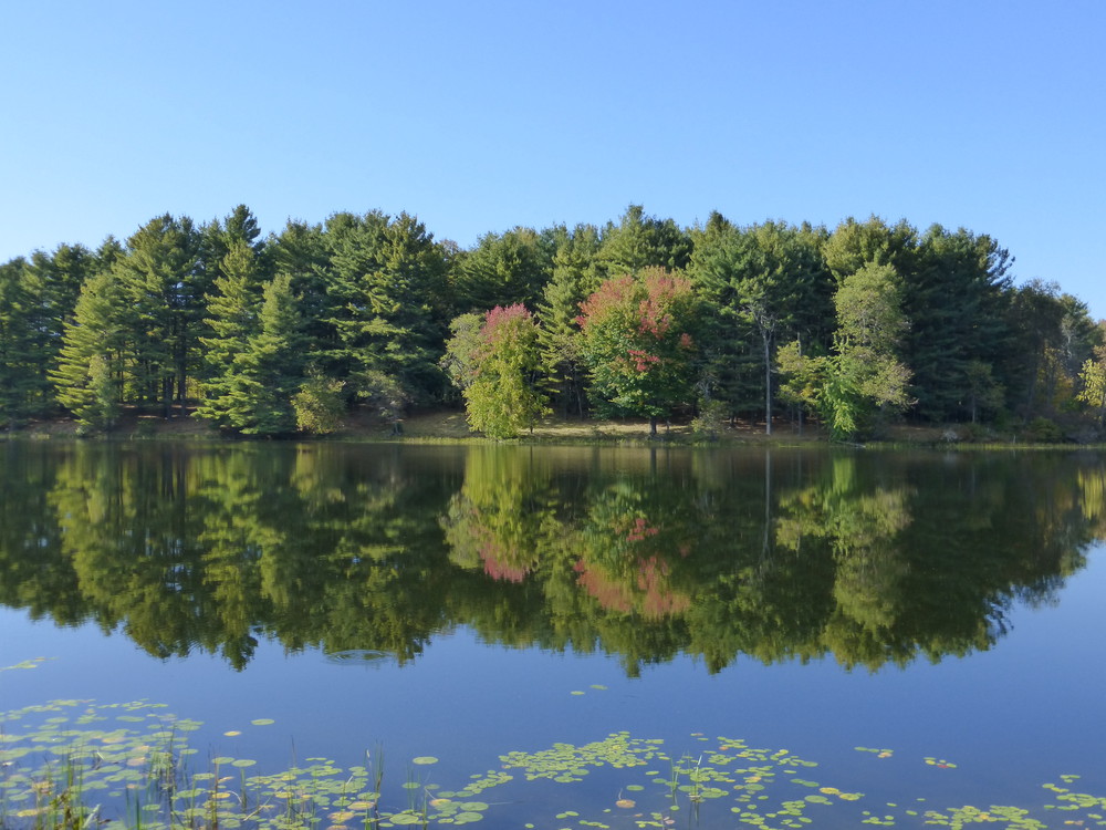
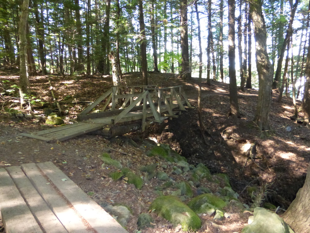
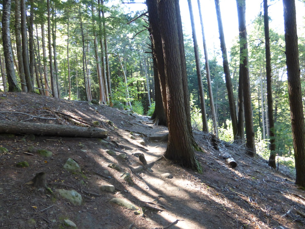
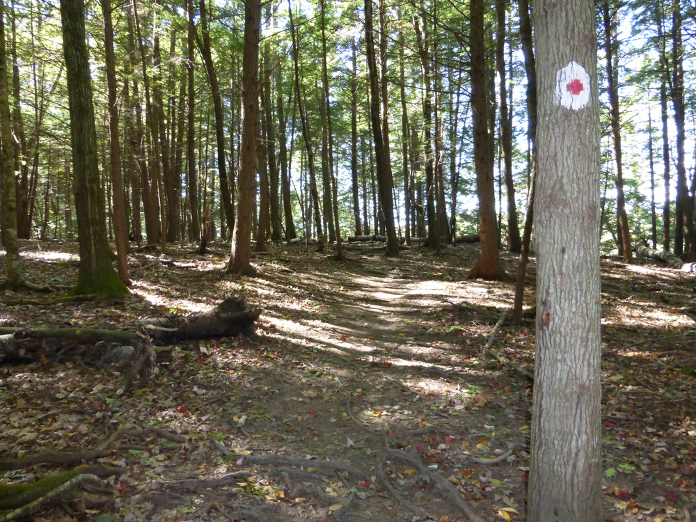
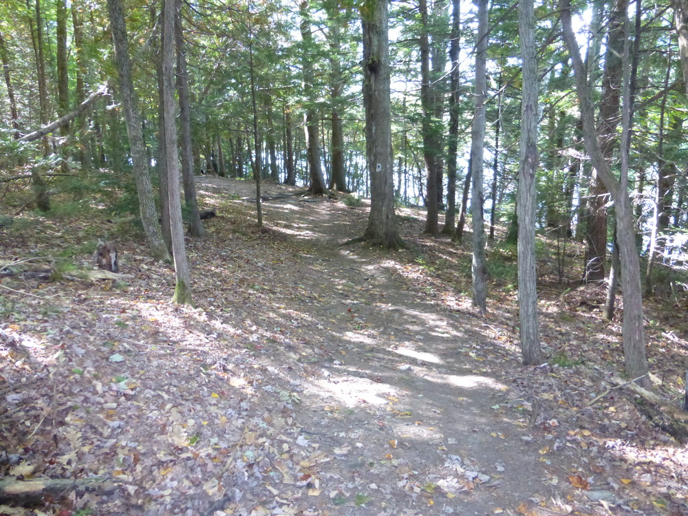
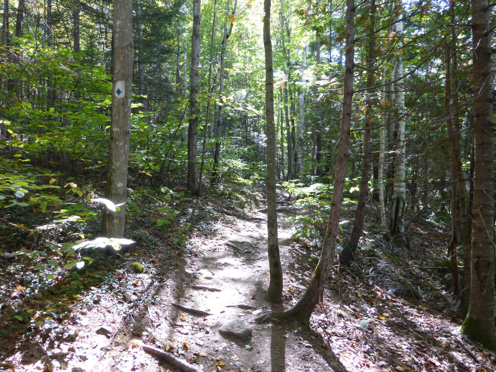
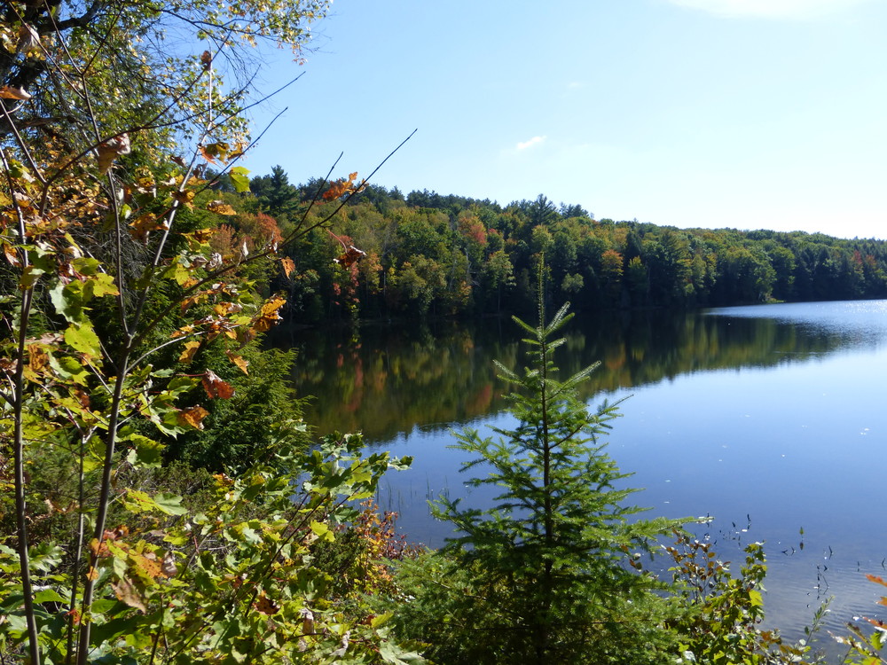
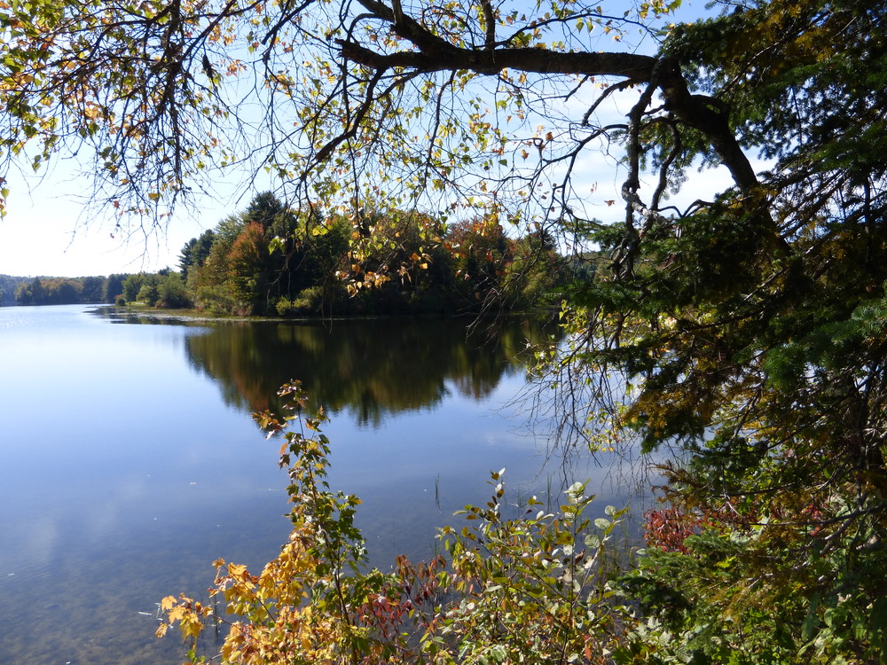
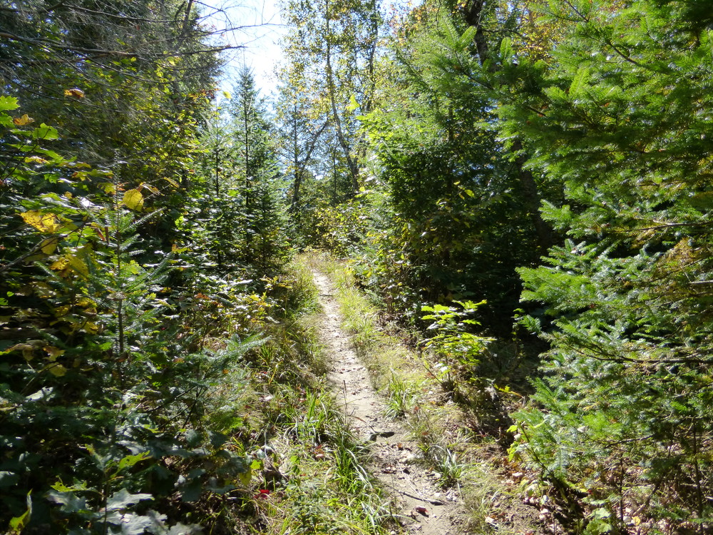
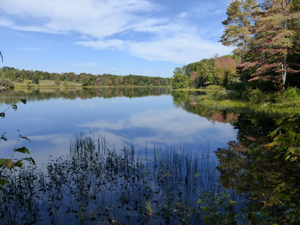
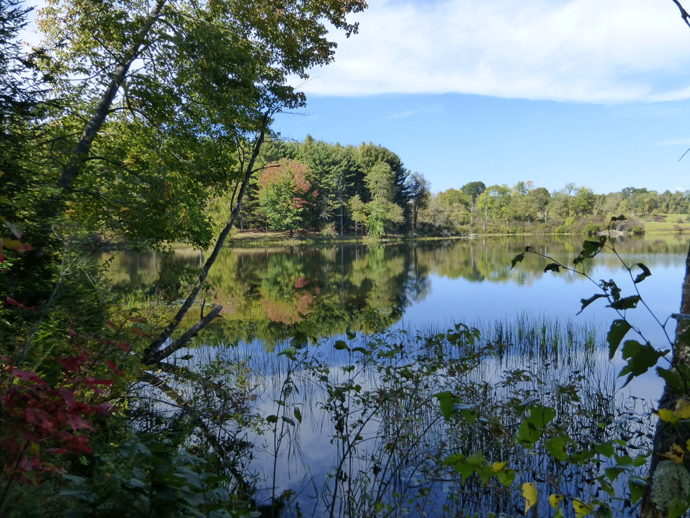
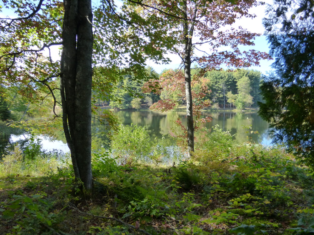
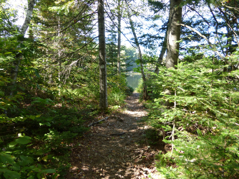
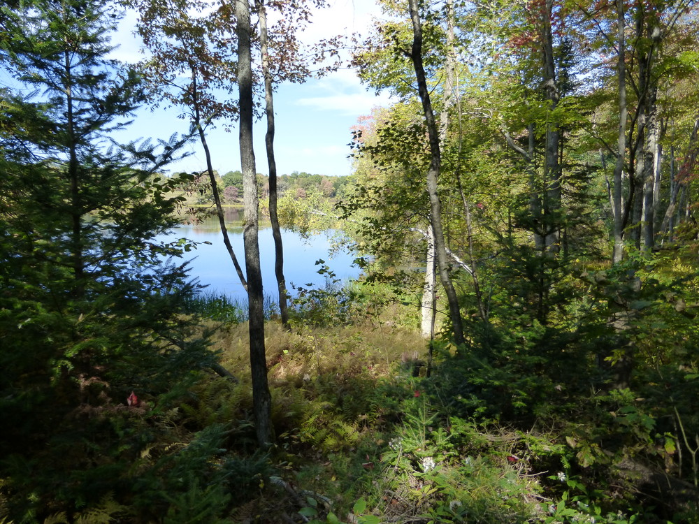
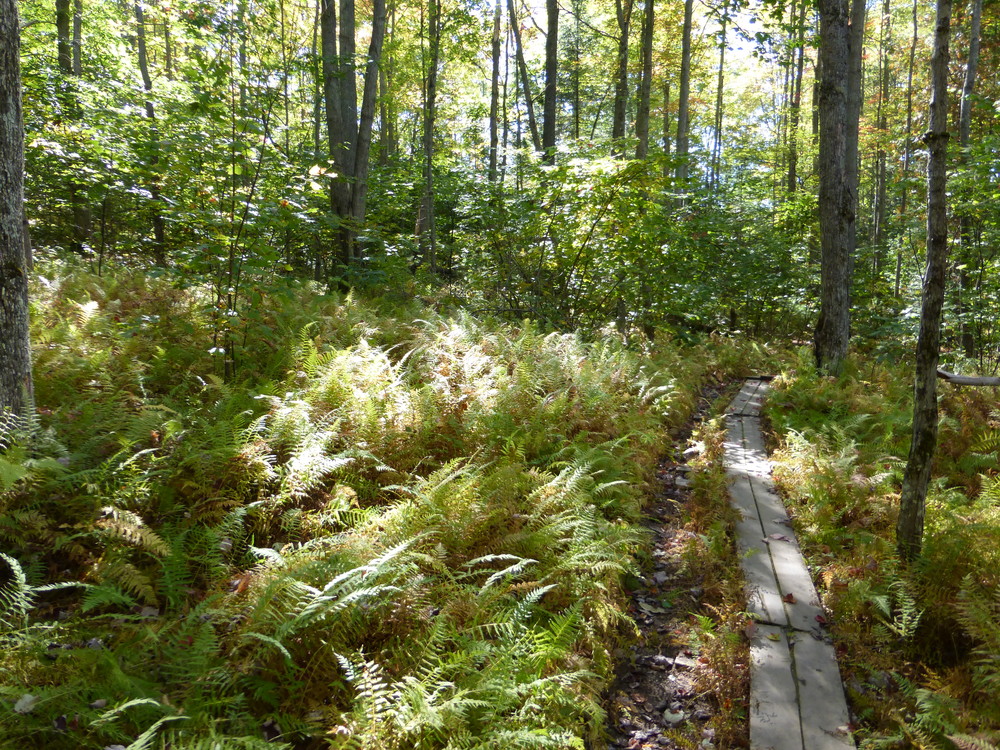
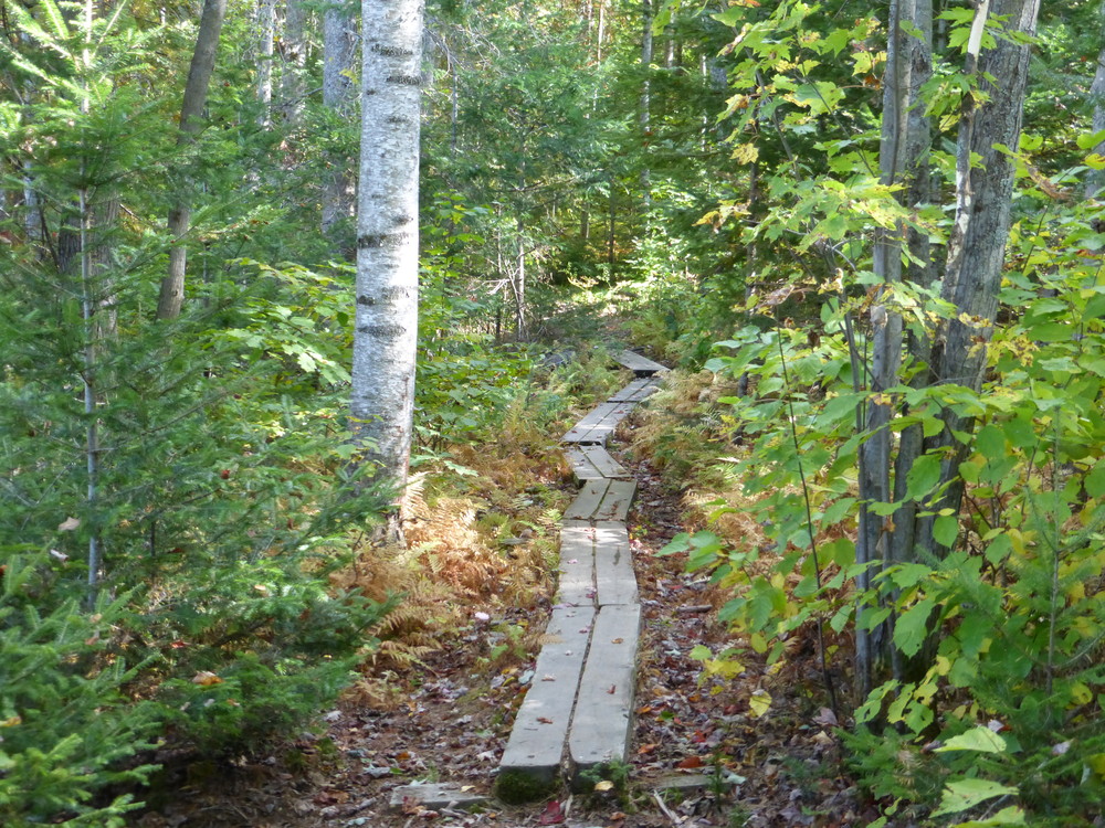
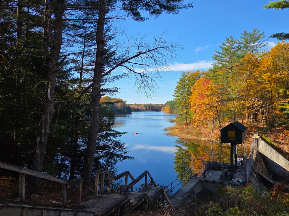
The path from here is mostly single track, crosses several footbridges and passes through beautiful hemlock woods to where the Stream broadens out into a lake. The path follows the edge of the lake, out around a peninsula, and then connects with the power line. It then heads east and north along the power line until the dam access road where it turns west (left). Wooden and then steel steps take you over the black wood and creosote penstock. The trail then continues along an access road to Rice Rips Road.
This trail was made possible through a collaboration of efforts. Special Thanks go to the following: Kennebec Messalonskee Trails, the Town of Oakland, FPL Energy, Synergics Energy Services, Maine Recreational Trail Program and Maine Outdoor Heritage Fund. The trail was constructed by the Maine Conservation Corps and opened on National Trails Day in 2007.
Visit Kennebec Messalonskee Trails online for more information or contact:
Plan for Changing Weather: Maine’s weather can turn fast—be weather wise and pack layers, rain gear and check the forecast before heading out.
There are two trailheads:
At the South End: on the opposite side of Messalonskee Stream from the Oakland Town Office, is a small fenced in area for parking. From Waterville follow Kennedy Memorial Drive to just before the stream crossing. Turn right at sign. From Oakland, cross the stream and turn left.
At the North End: on Rice Rips Road, is a small area for parking. From Waterville follow down the hill until just before the stream, turn right. From ME Route 23 turn right onto Rice Rips Road, cross the stream and turn left into parking. Then head south across the road to the trail. Walk around the gate and follow the black leaking penstock towards the Rice Rips dam. Then take the stairs up over the dam and follow the trail from there.
Success! A new password has been emailed to you.