Mousam Way: South

Mousam Way South is a lovely woods trail that follows the Mousam River from Emery Street to School Street and features a 300-foot boardwalk across a wetland.
Trail Activity
Mountain-biking Cross-country-skiing Snowshoeing
Length
1.60 miles, Network
Difficulty
Moderate
Town
Sanford
Surface
Dirt/Forest Floor, Gravel/Crushed Stone, Boardwalk/Bog Bridging
Pets
Permitted
Fees
No

Description

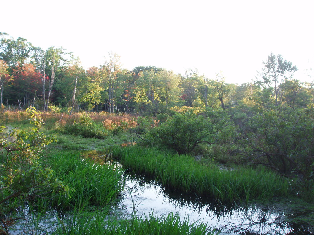
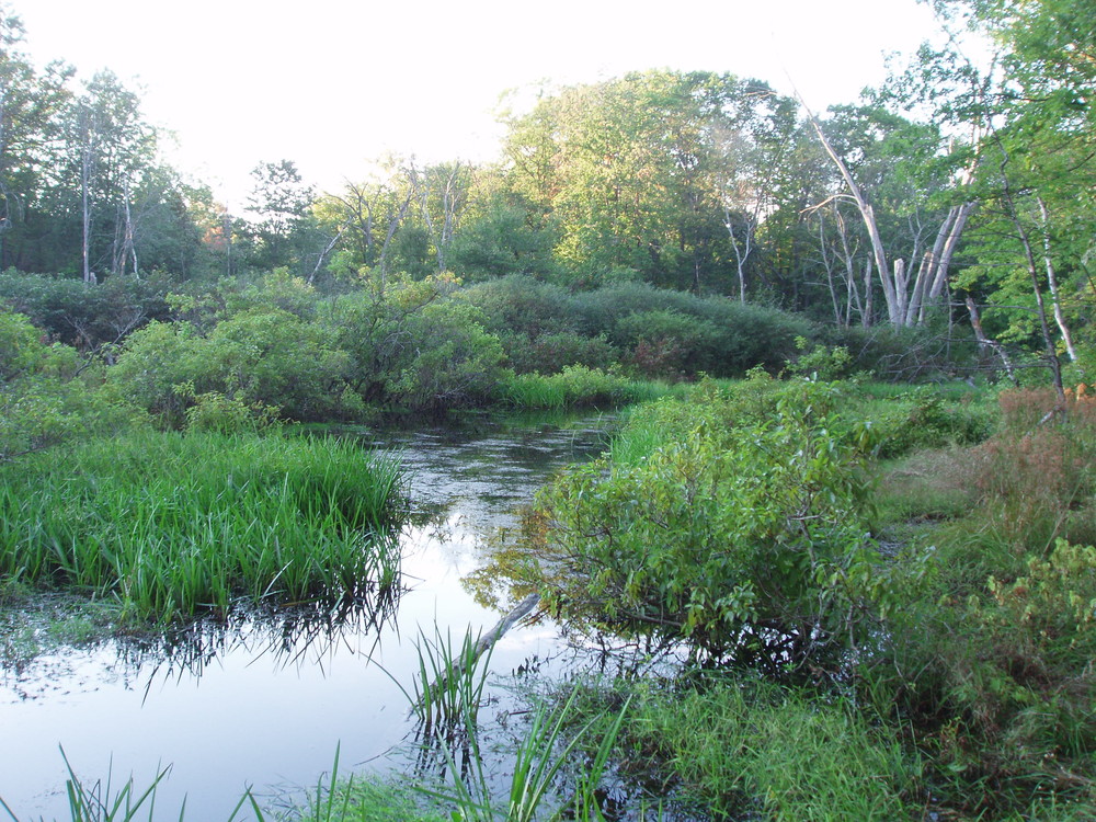
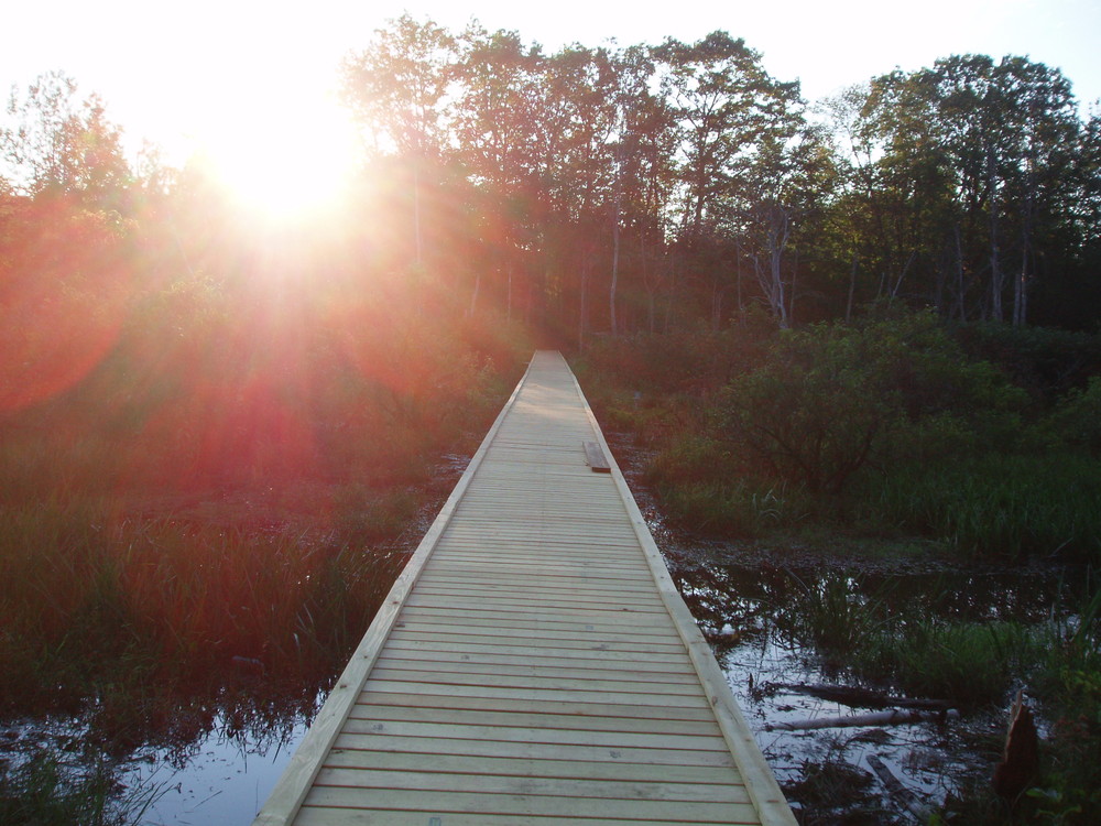
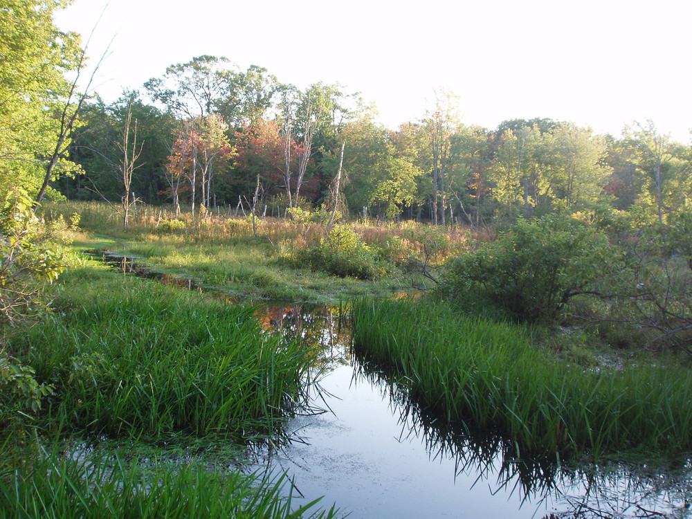
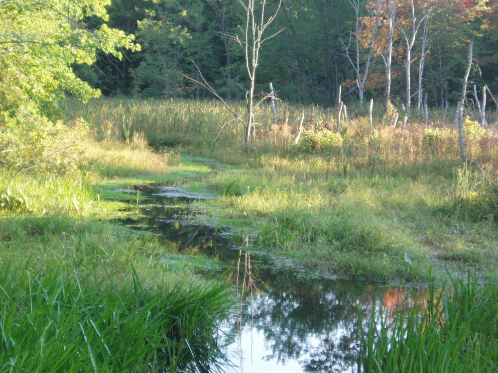
Starting from Emery Street, pass around a gate and continue along the river to a clearing with a big rock. The trail turns left and descends to a 300-foot boardwalk that crosses a marshy backwater of the Mousam River. On the opposite shore, the trail enters the woods and diverges. The right fork circles around the marshy area, leaves the woods, descends a sloping open area to a wooden footbridge, and returns to the rear of the parking lot where the trail started. The left fork swings left and follows the river downstream and eventually joins the sewer trunk line. The trail skirts the perimeter fence of the Sanford Public Works Facilities and ends at a small parking area on School Street. Please stay on trail and pick up litter as this trail traverses private property.

Other Information

Nearby the Emery Street parking area, there is a paved path running alongside Weaver Drive that connects Emery Street to High Street, near downtown Sanford.

Geocachers – after you enjoy the trail there are many Geocaches in the area not far from this trail system.  

Trail Manager

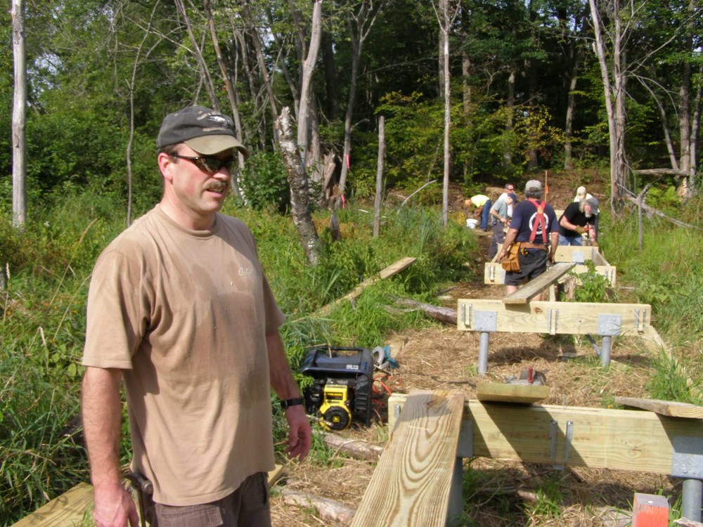
Sanford Trails is an all-volunteer organization that promotes, builds, and manages trails in Sanford and Springvale. Learn more by visiting: www.sanfordtrails.org

Sanford Trails

Sanford Trails
919 Main Street
Sanford, ME 04073
Phone: (207) 324-9130
recreation@sanfordmaine.org
View website

Nearby Events

VIEW EVENTS CALENDAR

Trail Tips

Leave What You Find
Avoid the introduction or transport of non-native species. Use local firewood from within 50 miles and clean, drain, and dry water equipment when moving between water bodies.
Legend
Hide All

Trailhead Information

Emery Street: the trailhead is located on the south side of the street 0.4 miles from Main Street or 0.3 miles from High Street. Park near Heidi’s Heavenly Pot Pies.

School Street: the trailhead is located on the north side of the street roughly 0.9 miles from Main Street or 2.1 miles from Route 4/Alfred Street.

Click on a parking icon to get custom directions
Please Log In or Create Account to add comments.
These awesome businesses support our goal of connecting people to outdoor adventures in Maine!
Hang Tight!
Nearby services are loading
No Results
No Services Found
SHARE THIS TRAIL

Add Trail Log

Please wait…
Join In on the Fun!
Log in or create an account below to unlock all the great features of Maine trail finder: keep track of trails you want to do, preserve memories of trails you’ve done, earn badges, and more!
Your log in attempt was not successful. Please try again.
    Lost your password? Reset your password
    Don't yet have an account?
    There was an issue with your submission. Please try again.
      * Indicates required field
      Already have an account? Login here
      Enter your username, and we will send you a new, randomly generated password to your email account.
      There was an issue with your submission. Please try again.

        Success! A new password has been emailed to you.

        Log in now

        Please wait…