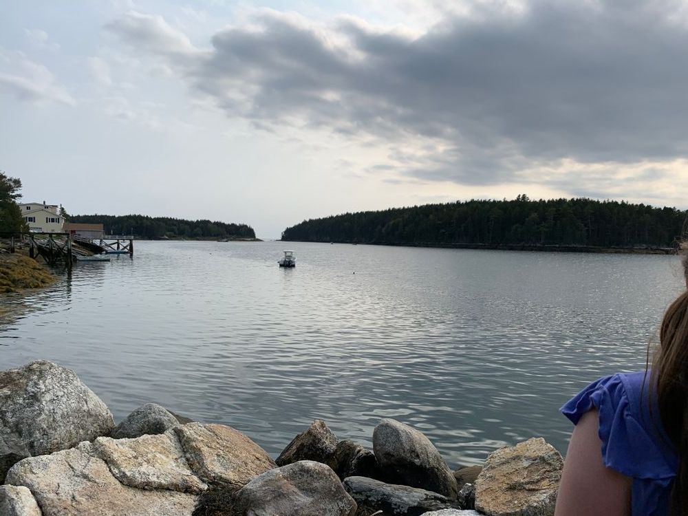
This multi-use trail is open to hiking, horses, and motorized use. The trail follows an old road through mixed woods down to the shore of the New Meadows River. The trail descends gradually at first, passing westerly through young woods which were open fields less than 100 years ago. As the trail turns to the south, it descends the hill toward the river’s edge. Cundy’s Harbor lies directly across the river and Bear Island can be seen to the south. Bald eagles sometimes nest on Bear Island and osprey may be seen in the summer months.
In October 2006, an anonymous donor gave The Nature Conservancy 1,910 acres in Phippsburg, including more than 4 miles of coastline surrounding the Basin, a saltwater inlet on the New Meadows River. In 2012, the Conservancy transferred 64 acres to the town of Phippsburg to be used for town recreational access and school programs. The Basin is the Conservancy’s largest coastal preserve in Maine and one of the Conservancy’s most valuable individual land gifts. The acquisition of The Basin Preserve is a substantial addition to existing protected lands and waters in the Kennebec Estuary. Comprised of Merrymeeting Bay and the Lower Kennebec River, the Kennebec Estuary is the largest tidal estuary on the East Coast north of the Hudson River.
In addition to protecting important estuary habitat of the Basin and shoreline of the New Meadows River, The Basin Preserve features extensive stands of rare Pitch Pine Woodlands. A series of ridges run down the length of the preserve in a northeast/southwest orientation. One of the larger ridges on the peninsula, Pasture Ridge, runs down the middle of the preserve and hosts an exemplary stand of Pitch Pine Woodland, one of the largest in Maine. These beautiful woodlands are influenced by past fires and pitch pine’s ability to persist in harsh growing conditions of acidic, thin soil on exposed granite ridge-tops. Sedge meadows, shrub marshes and black spruce bogs occupy the valleys between the ridges and provide excellent habitat for many plants and animals. One large stand of black gum, a southern tree species at its northern limit in Maine, is found on the preserve.
Visiting Guidelines:
Visit The Nature Conservancy online for more information or contact:

Never Feed Wildlife: It can change their behavior and can make them dependent on humans.
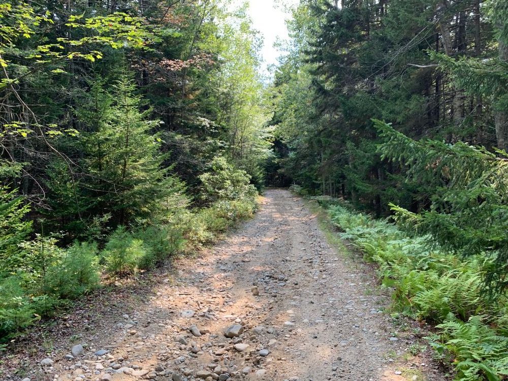
From Route 209 southbound in Phippsburg, turn right onto Basin Road (about 0.7 miles south of the intersection of 209 and Parker Head Road). Proceed on Basin Road (it turns to gravel) about 1.6 miles, passing two gravel roads intersecting from the right. At the intersection at mile ~1.6, stay right to continue on Basin Road, shortly passing a boat launch on the right. As you ascend away from the shore, at ~2miles from route 209, bear right on Decker Hill Road. Travel ~0.7 miles, then turn right into the beginning of the New Meadows Trail, where a series of boulders line the right side of the road. Please park out of the travel way.
Success! A new password has been emailed to you.