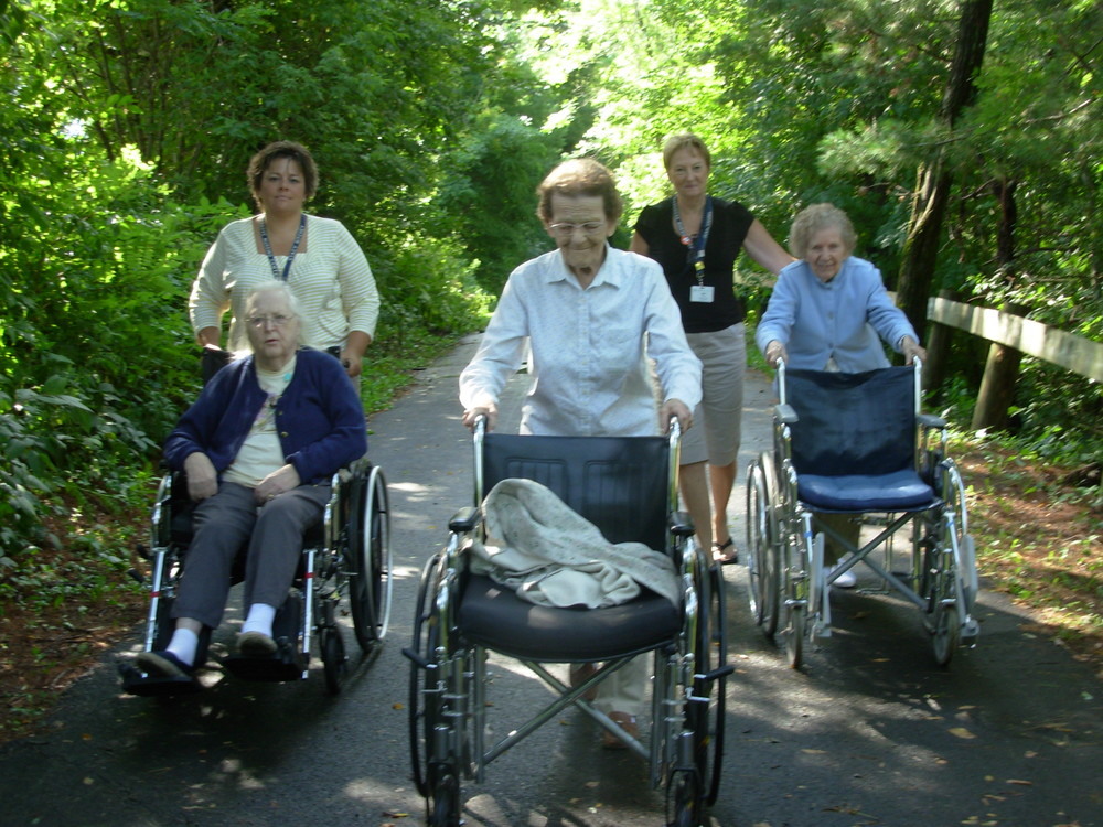
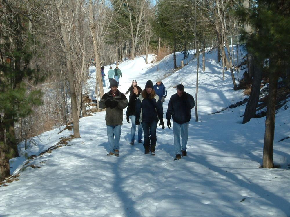
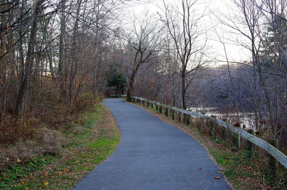
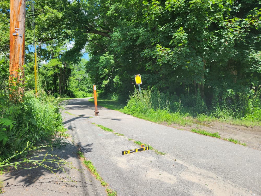
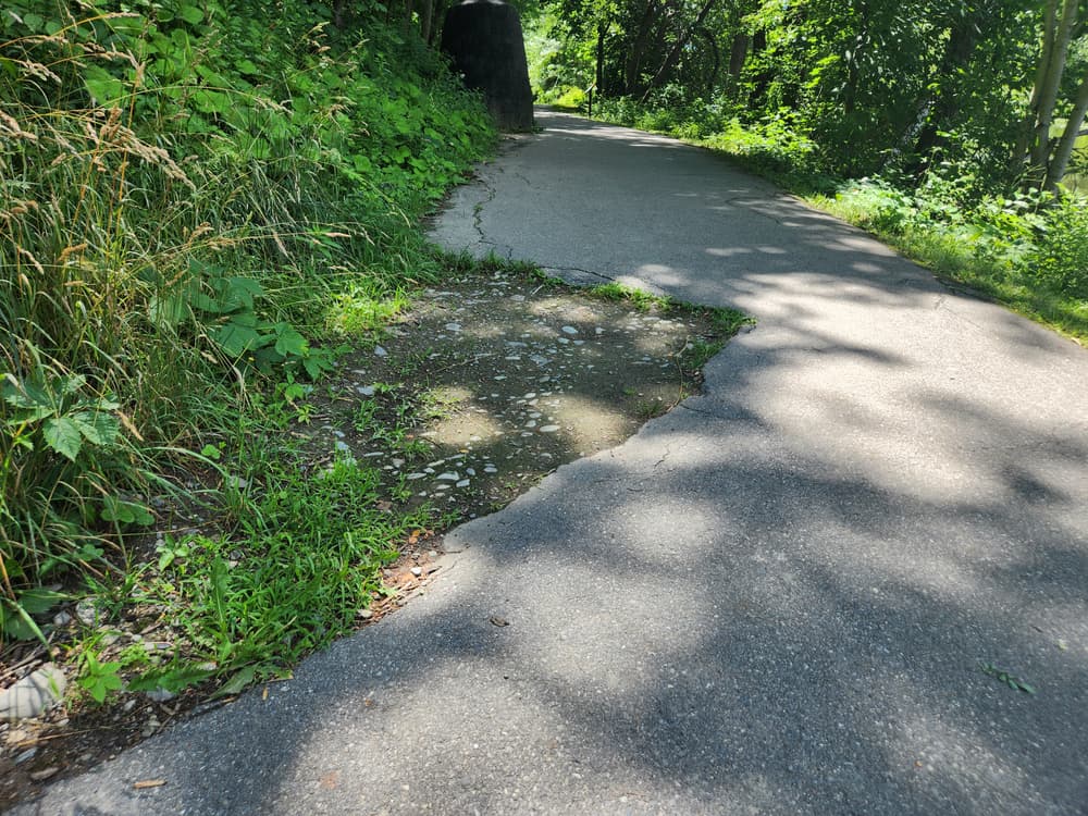
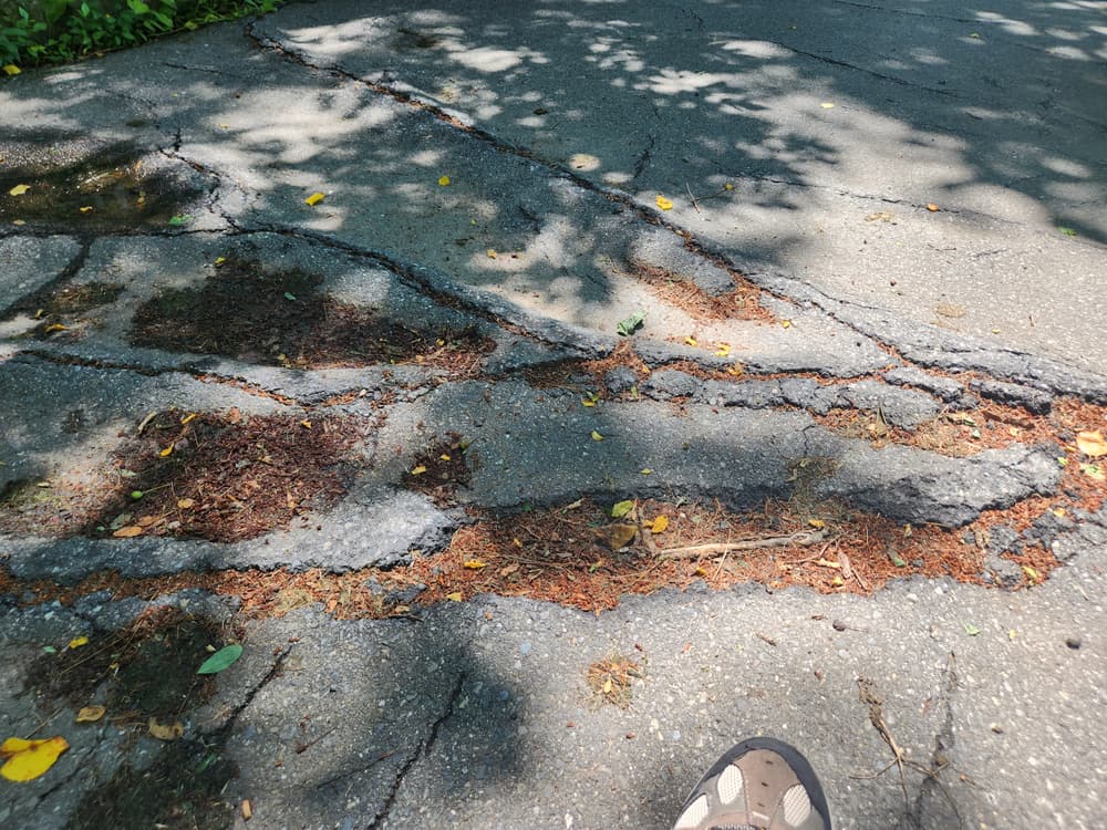
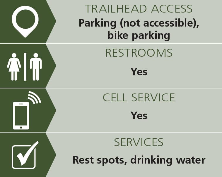
The 0.6-mile North Street Rec Area trail follows the shoreline of Messalonskee Stream around the North Street Recreational Area. The paved walkway is generally 11 feet wide with a couple of cracks and washouts that narrow the trail to 4 feet. The grade is generally 0-3%. Various loops may be created by utilizing the widened North Street sidewalk. See Trail Access Information & Considerations below for more information about this Accessible Adventure.
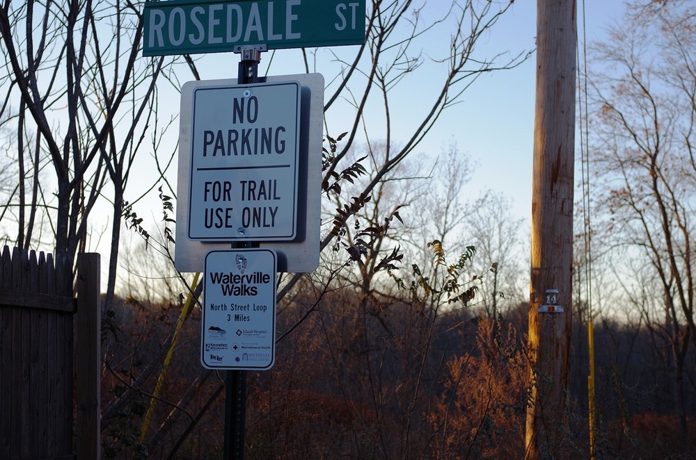
The 1.1-mile Waterville Connector Trail, which has variable surface conditions and slopes, utilizes streets and sidewalks to connect the North Street Rec Area Trail to downtown Waterville, the accessible Riverwalk Trail at Head of Falls, and the Two Cent Bridge footbridge over the Kennebec River.
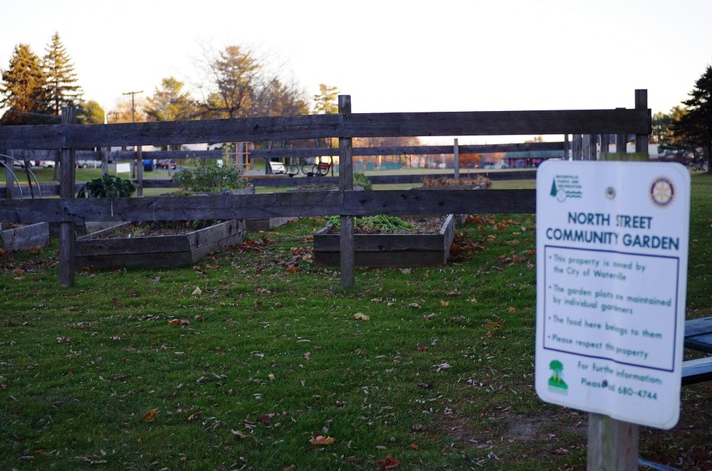
The North Street Recreational Area Trail was a 2005 Centennial Project of the Waterville Sunrise Rotary Club, and is maintained by trail users and the City of Waterville.

Trail conditions can change without warning. Trail last assessed: 7/1/2024.
Visit Kennebec Messalonskee Trail online for more information or contact:
Respect Seasonal Closures: Avoid muddy trails to prevent lasting damage. If you have to pass through wet or muddy trails, walk down the middle of the trail to avoid widening the path and causing further damage.
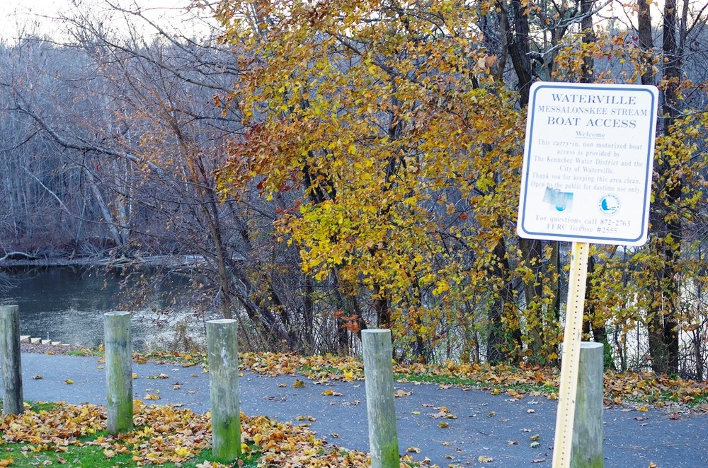
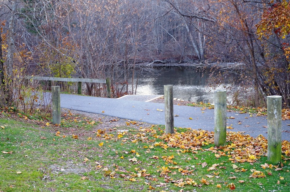
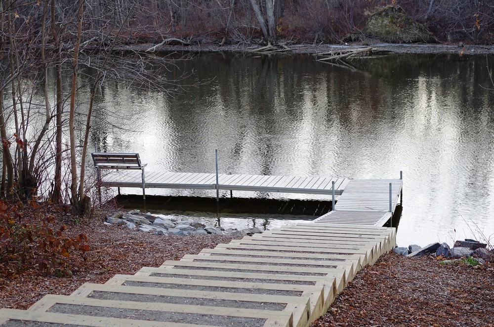
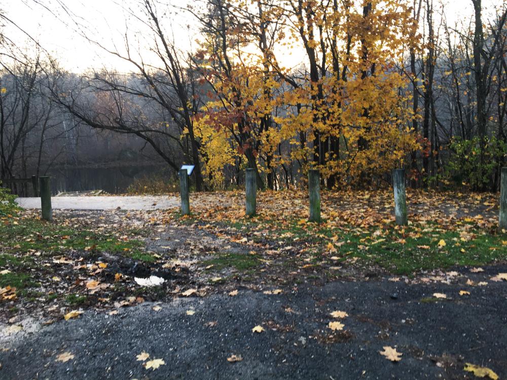
From North Street there are three access points. At the southern end, just after crossing the rail bridge take a left turn onto Edgemont Avenue (following the trail signs), the trailhead is at the end of Edgemont. In the middle, there is a link to the trail between the covered picnic tables and the soccer fields. At the northern end of the soccer fields, there is limited parking and a boat ramp and float.
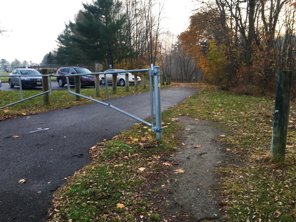
At the northern-most lot above the soccer fields, the walkway may be reached from the parking lot over and down a short but moderate bank of grass and gravel, or via the sidewalk on North Street, and around the gate at the trailhead. There is 6 feet through which to pass over grass and dirt to the right of the gate, and then a short, very gentle slope down to where the walkway turns along the stream and flattens out.
Success! A new password has been emailed to you.