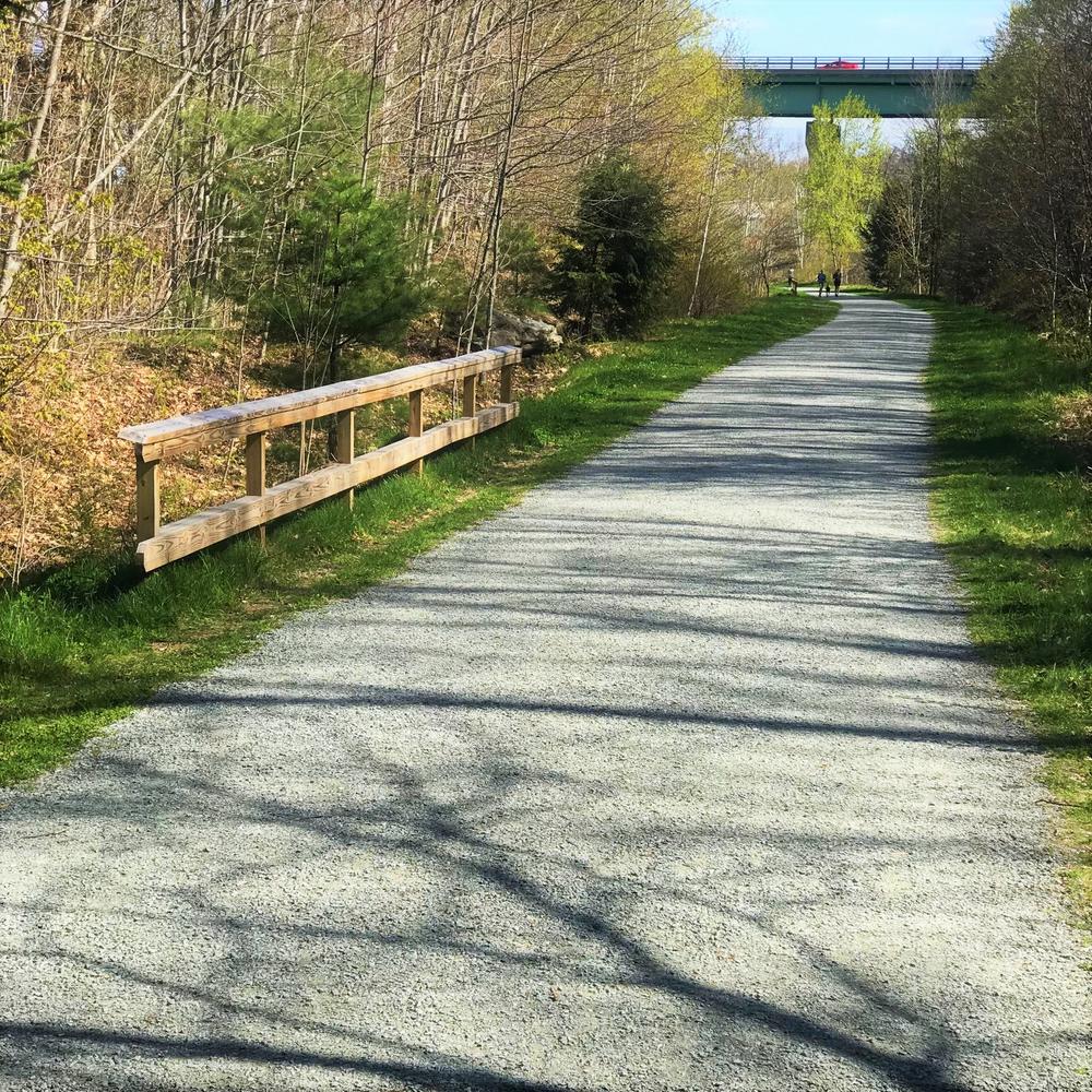
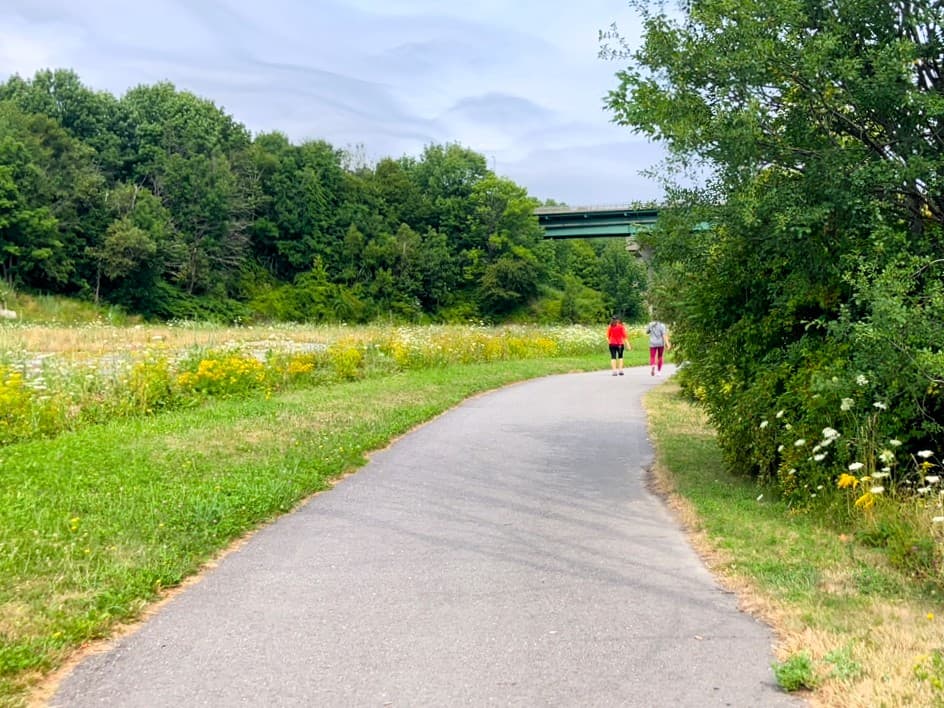
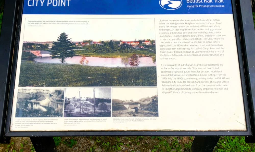
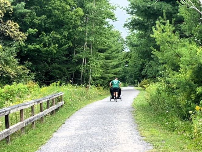
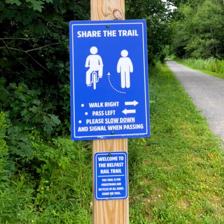
The former railroad bed follows the western bank of the Passagassawakeag River from Belfast in the south to City Point in the north. It is popular for walking, biking, running, and those pushing strollers. The trail affords excellent views of the river for much of its length, including a river crossing near the northern end of the trail, as well as opportunities to observe many facets of the area’s natural history explained by interpretive panels along the way.
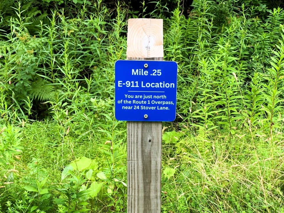
There are also mile markers every quarter-mile, that include the nearest address to that point of the trail for 911 in case of an emergency.
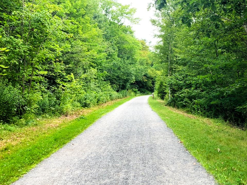
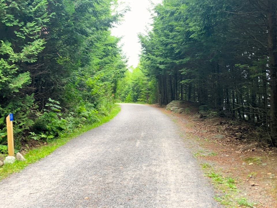
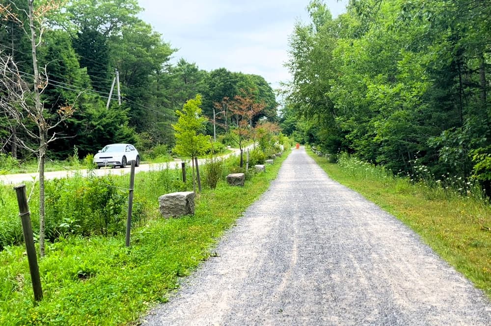
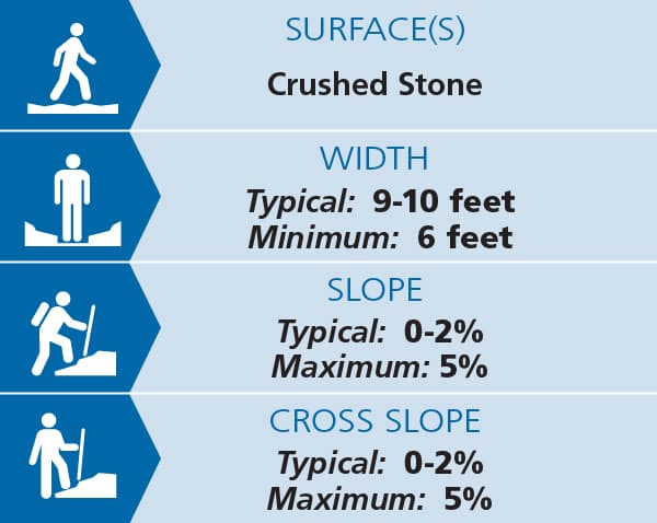
As the trail uses a former railroad bed, the trail is both broad, at 9-10 feet wide, and with minimal grades, mostly 0-2% and never exceeding 5%. The surface is primarily crushed stone, with a short section of pavement at the south end of the trail (about 800 feet, from the south trailhead at the Armistice Bridge to the Route 1 overpass). There is some notable cross-slope along this paved section, up to 5%.
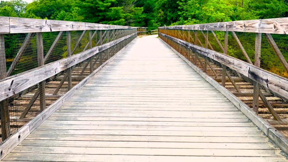
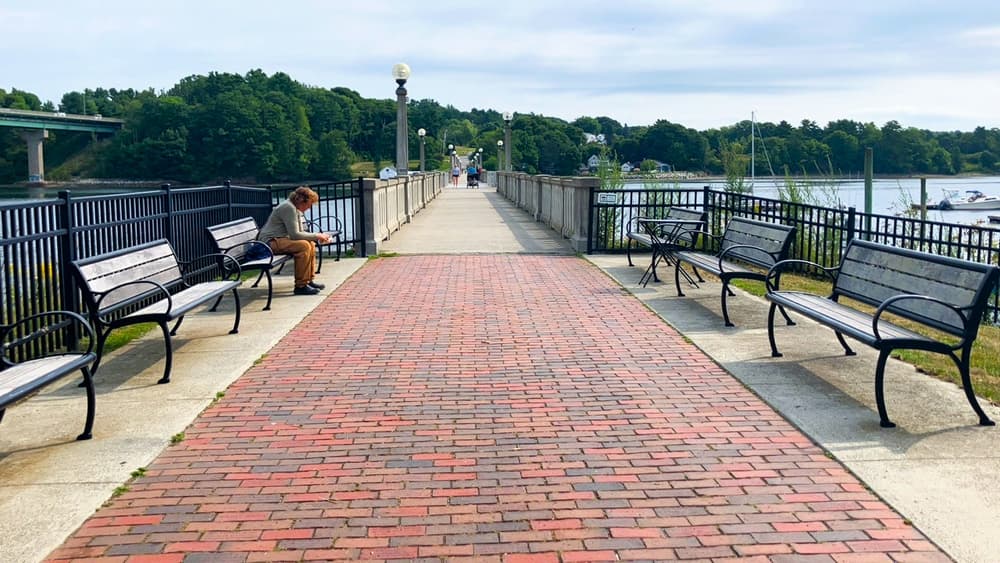
The south trailhead also provides access to the Armistice Footbridge, which spans a quarter-mile across the river. It is a flat, 10 feet wide with a concrete surface, and provides excellent views of Belfast Harbor.
In winter, provided there is snow on the ground, the trail is excellent for snow-shoeing and cross-country skiing.
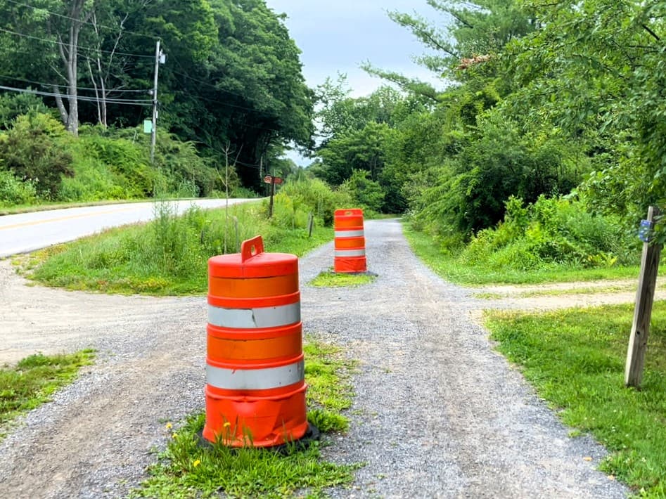
Trail conditions can change without warning. Trail last assessed: 7/29/2026.
For additional information, visit the City of Belfast website, or contact:
![]()
Bag & Carry Pet Waste: Dog waste doesn’t belong in nature—pack it out and put it in the trash.
There are three parking lots that provide easy access to the trail.
Heading north High Street from the center of Belfast, which will turn into City Park Road, there is a mid-trail lot 1.3 miles up from the city center (this lot also provides access to the Stephenson Preserve). There are no dedicated ADA parking spaces, and there is a steep slope down from the lot to the trail.
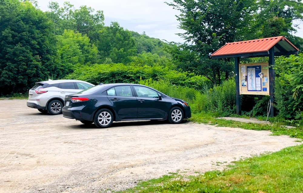
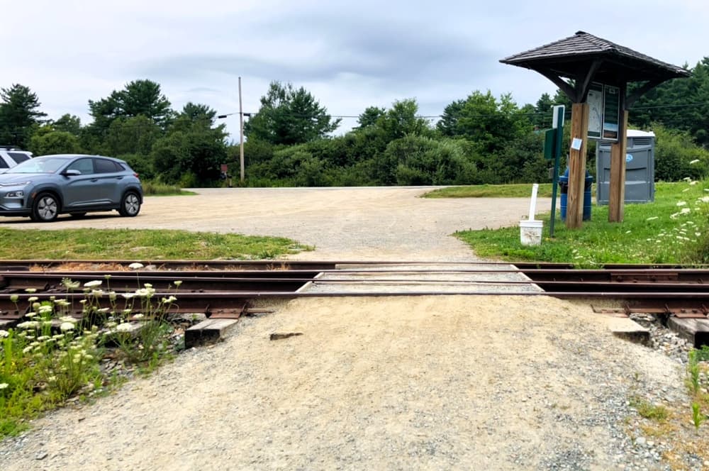
Continuing along City Park Road, there is a lot at the north end of the trail, located at the Belfast & Moosehead Lake Railroad 2.7 miles up from the city center (this lot also provides access to the Hills-to-Sea trail).
There is a parking lot at the southern terminus of this trail by the Armistice Bridge. Heading north on Water Street from the city center, the lot will be on the right just after Front Street Shipyard (this lot also allows access to the Belfast Harbor Trail). This paved lot includes dedicated ADA parking space. The paved lot is on level with the trail, with no curbs. An additional lot is located near the southern end of the trail at the corner of Bridge Street and Pierce Street, with spaces for about 20 cars.
Success! A new password has been emailed to you.