The trailhead connects to the South Loop via a 0.2 mile trail; the South Loop is connected to the North Loop by a 0.1 mile trail. The total distance for a round trip hike of both loops is 1.5 miles.
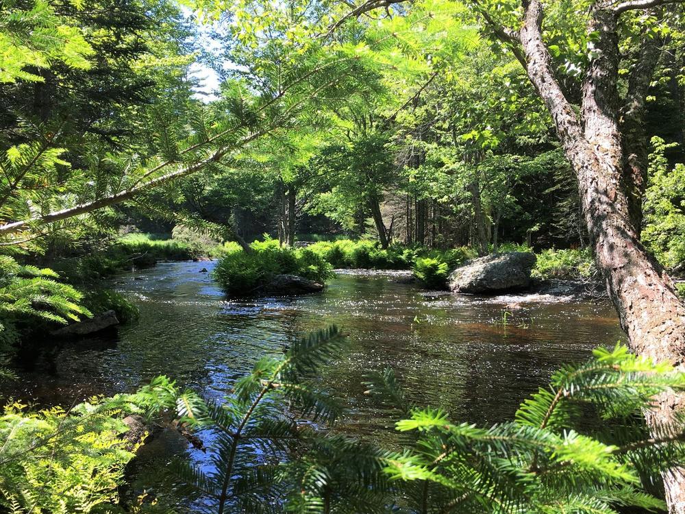
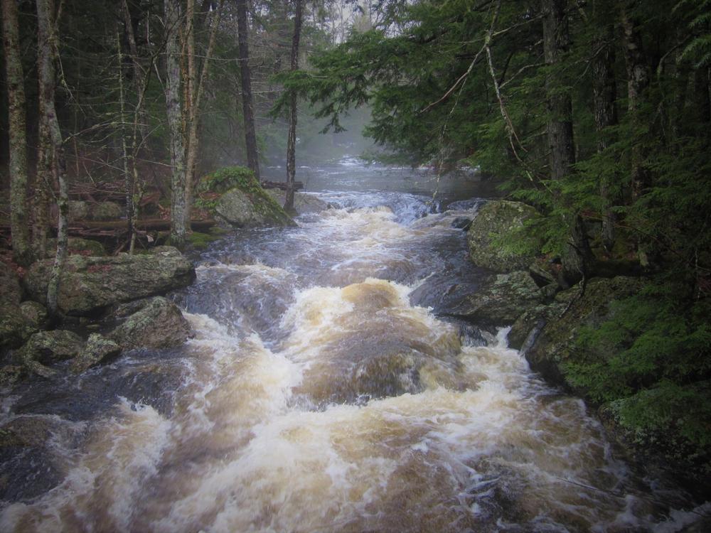
The South Loop Trail, starting at the south end and traveling clockwise, goes along the top of the slope offering occasional glimpses of the stream as it winds closer and closer to the water’s edge, incorporating a combination of forest and abandoned woods roads. Upon reaching the shoreline, the view of the stream is dramatic due to the presence of large boulders that rest both in the stream and along its banks.
The connector trail between the North and South Loops follows an old skidder path through a stand of spruce and fir.
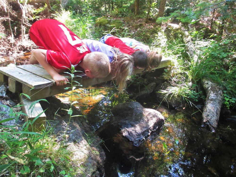
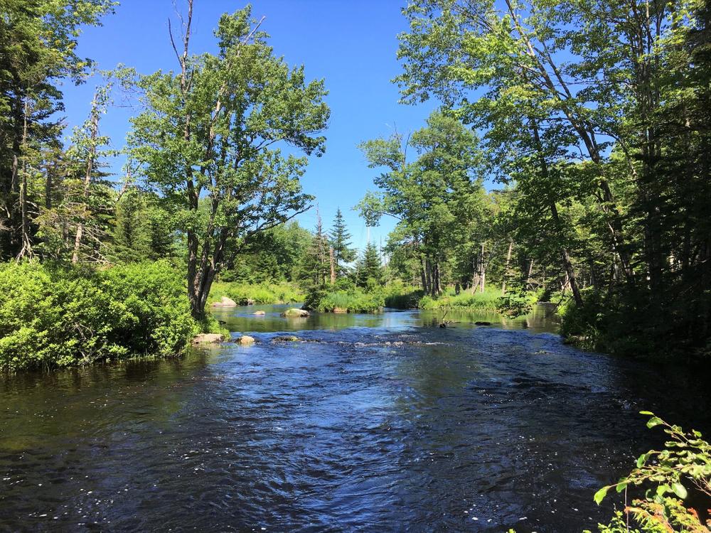
The North Loop Trail heads in a clockwise manner heading northwesterly around the shelf of a large rock outcropping, before traveling along the shore of Patten Stream for several hundred feet and coming to a small foot bridge. Crossing the bridge, the trail briefly accesses a small mid-stream island populated with a stand of Red Oaks, then crosses back over to the shoreline at the island’s northern point. Following the shoreline, the trail reaches an elongated point that offers spectacular views of the stream in both directions. From this point the trail turns right and begins to traverse a side slope rising in elevation. The trail follows the old road bed for a short distance before looping back to the junction of the trail connecting with the Southern Loop.
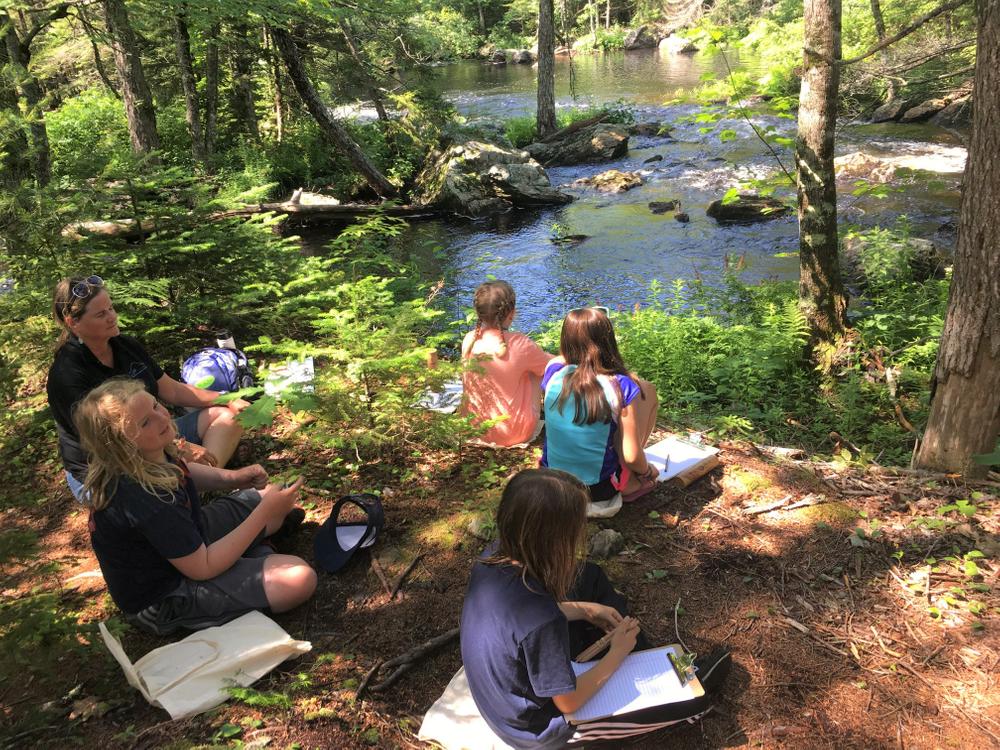
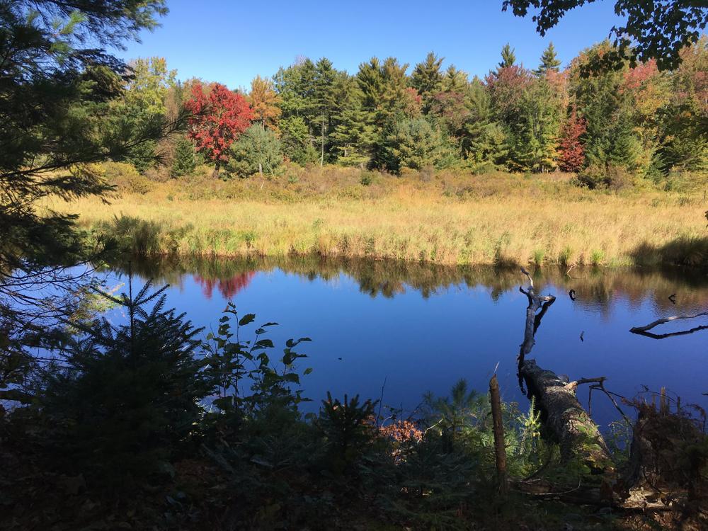
Patten Stream is an important resource for alewives, which swim up the stream from the bay in the spring, seeking freshwater. In spring there are also abundant spring ephemeral flowers and nesting song birds.
GUIDELINES
For additional information, visit the Blue Hill Heritage Trust website, or contact:
![]()
Stay On Designated Trails: Staying on the trail protects fragile plants, keeps you away from hazards like poison ivy and ticks, and helps avoid forestry equipment.
From Blue Hill, go 7.6 miles east (towards Ellsworth) on ME-172, and turn left onto Warren Lane.
From Ellsworth, go 5.2 miles west (towards Blue Hill) on ME-172, and turn right onto Warren Lane.
The parking lot for the property's trailhead is 0.3 miles up Warren Lane on the left.
Success! A new password has been emailed to you.