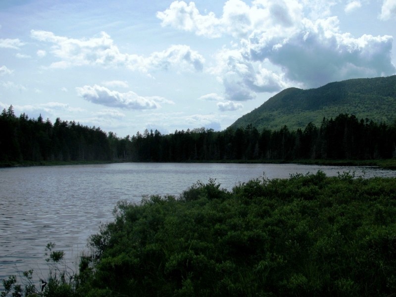
Parking for this trail is the same as for Mountain Brook Trail. From the parking lot, hike south 0.2 miles on the spur trail to a junction, then turn west. After crossing two small wooden bridges, the trail soon intersects with a short side trail on the left, which leads to the Pearl Ponds. Continuing straight on wide and grassy Pearl Ponds Trail, the trail soon bears left over a bridge, then reaches a wooden bench with a view of the Pearl Ponds. Ahead, the trail continues left and uphill to another junction at 0.4 miles. To the right, a side trail leads to the Pearl Ponds Campsites number 2 and 3. Continuing straight on the main trail, a junction with a gravel road is reached at 0.6 miles. Cross the gravel road, and continue to Grassy Pond where the trail ends at 0.7 miles. You can also turn east at the spur trail junction, where you will shortly see a sign noting a small path to the right to visit the shores of Pearl Pond, staying straight to head towards Indian Mountain Circuit (or turning back towards Grassy Pond). To get to Pearl Ponds, bear right downhill. There is a side path for Pearl Pond West to the left, where there is a tranquil marsh view. Stay straight and follow the grassy trail to Pearl Pond East, which has bog bridges at a marshy outlook.
This trail is within 66,000 acres of conservation land owned by the Appalachian Mountain Club (AMC) as a part of AMC’s Maine Woods Initiative. The Maine Woods Initiative is the AMC’s strategy for land conservation in the 100-Mile Wilderness region. The Initiative is an innovative approach to conservation that combines outdoor recreation, resource protection, sustainable forestry, and community partnerships. Through conservation purchase with our partners, AMC permanently protected over 66,000 acres of land in the region, creating a 63-mile-long corridor of conservation land stretching from AMC's property near Greenville north to Baxter State Park. This land is open to the public for recreational uses including hiking, paddling, camping, skiing, and snowshoeing. Fishing and hunting are also permitted in accordance with state law.
Project partners include the Trust for Public Land, The Nature Conservancy, Maine Bureau of Parks and Lands, the Land for Maine’s Future Program, the federal Forest Legacy Program and the Forest Society of Maine.

This trail passes through a property that was acquired in part with funds from the Land for Maine’s Future program. For more information about the LMF program and the places it has helped to protect, please visit the LMF webpage.
Visit AMC's Maine Woods Initiative online for more information or contact:
![]()
Watch From A Distance: Use binoculars or a zoom lens—getting too close will stress animals and be dangerous.
Park on the left side of Upper Valley Road in a small parking lot 4.4 miles north of the junction of Greenville Road and KI Road. From the parking lot, walk 0.4 miles west along Upper Valley Road to a grassy trail entrance on the left (directly opposite start of Grassy Pond Trail).
From the east via Brownville: Approach the Katahdin Iron Works Rd. on ME 11 either 26.0 mi. southbound from Millinocket or 5.5 mi. northbound from Brownville Jct. Signage for the Katahdin Ironworks Historic Site (KIW) may be missing, so check your mileage. Turn west onto Katahdin Ironworks Rd. The checkpoint at the entrance to KI Jo-Mary Forest is 6.3 miles from ME 11. Stop and register (fee charged May through October $10 per person $6 for Maine Residents).
From the west via Greenville: At the blinking traffic light in the center of Greenville on ME 6/15, proceed north one block and turn right onto Pleasant St. After 2.0 mi. the road becomes gravel. This road becomes the KI road. At 11.0 mi. from Greenville, stop and register at the North Maine Woods Hedgehog checkpoint (fee charged May through October $10 per person $6 for Maine Residents).
Success! A new password has been emailed to you.