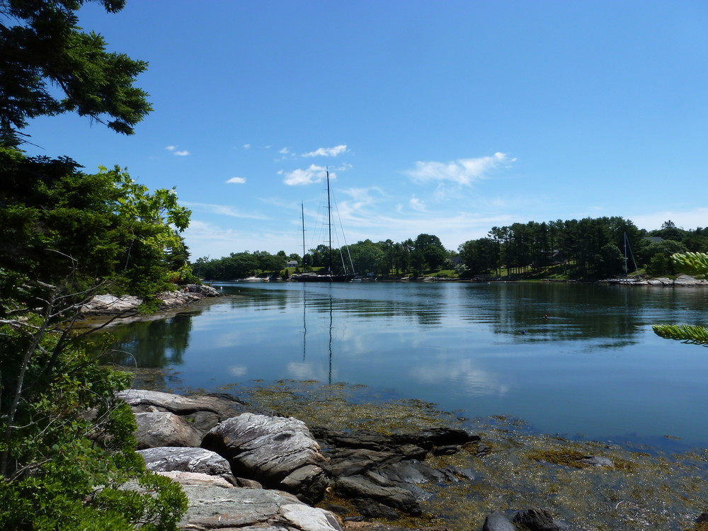
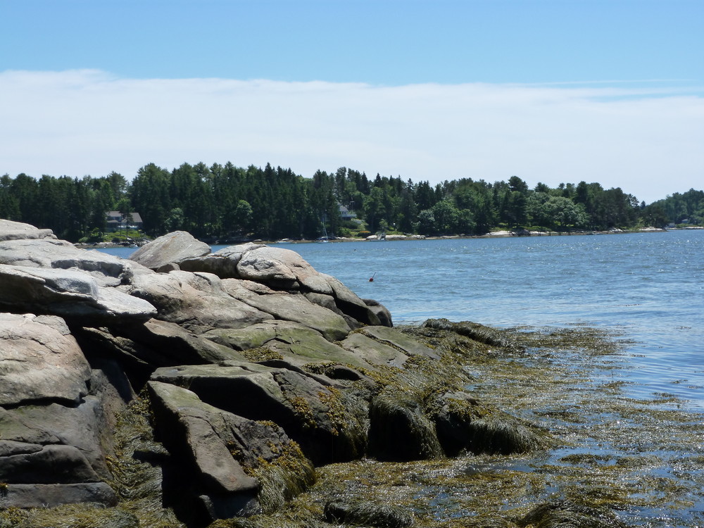
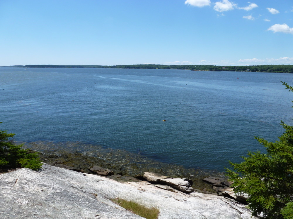
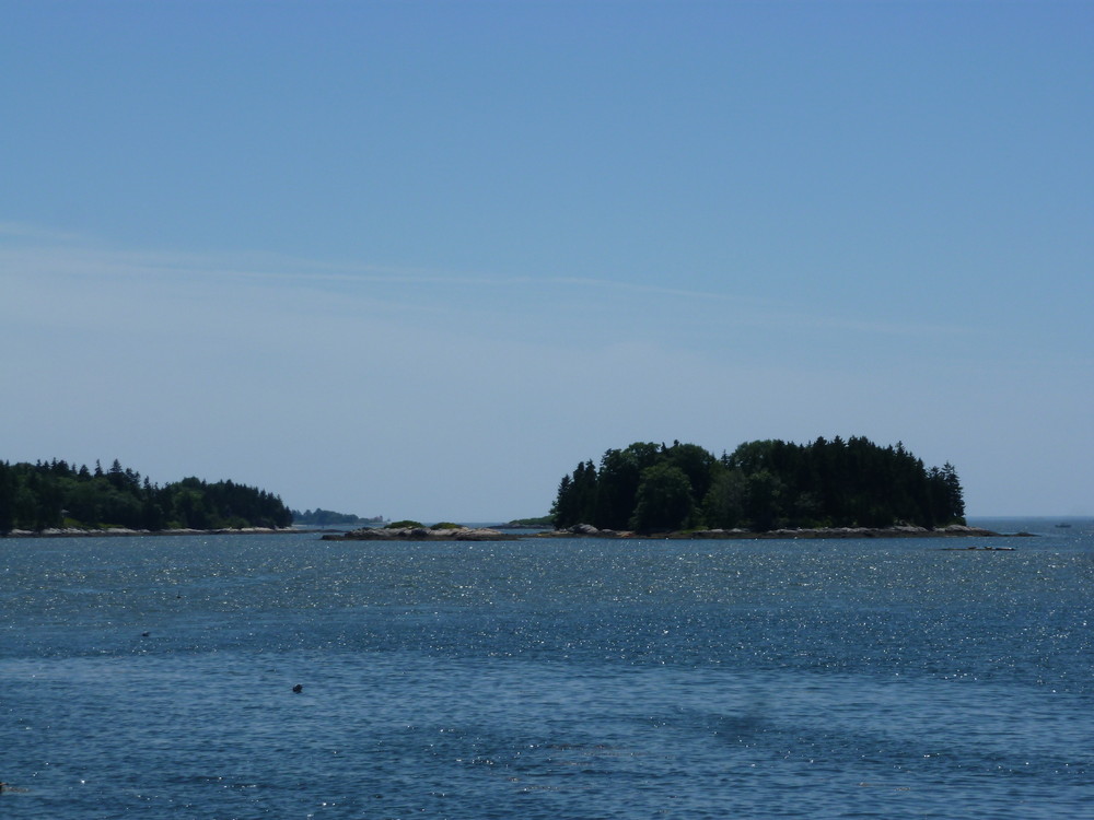
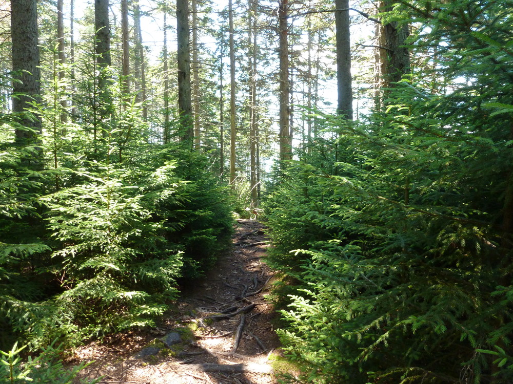
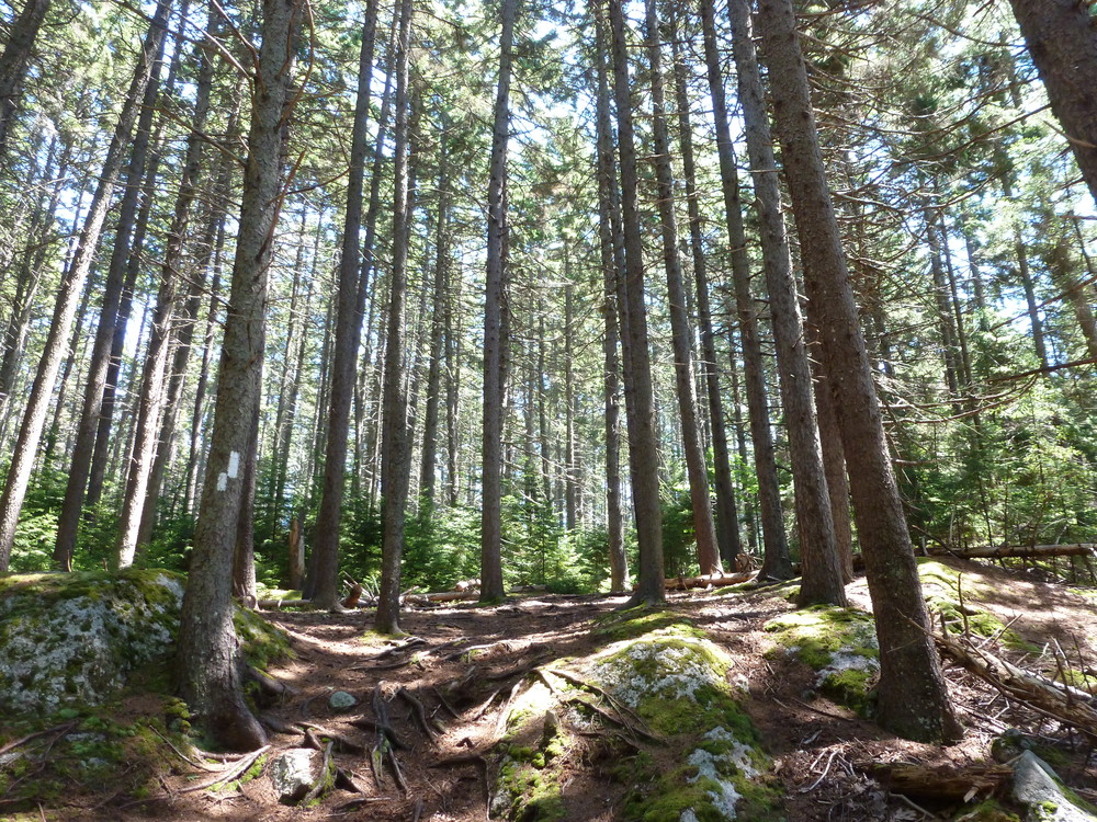
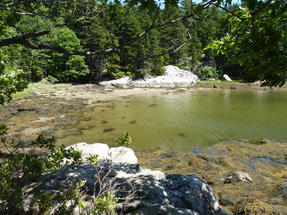
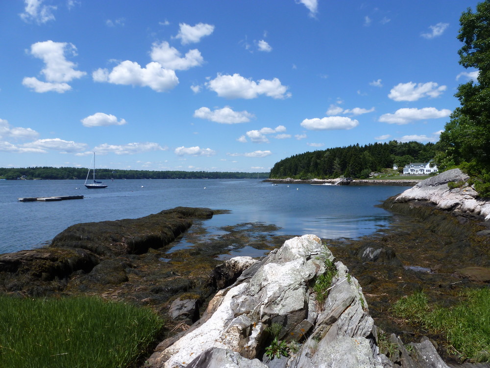
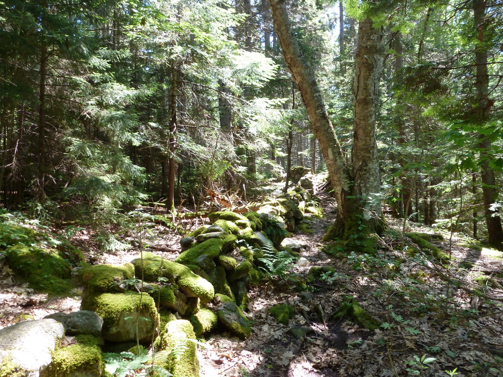
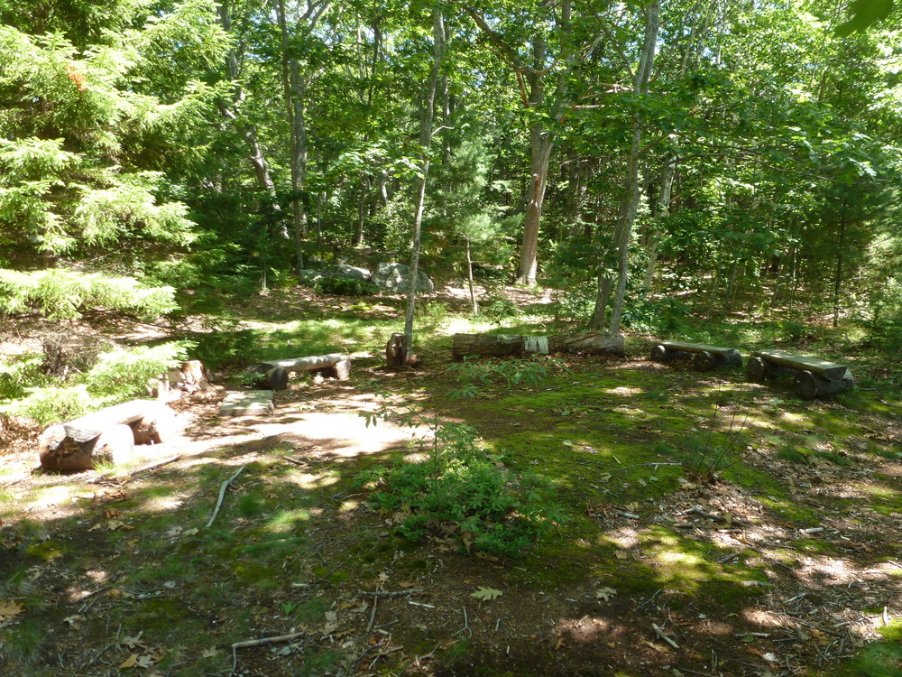
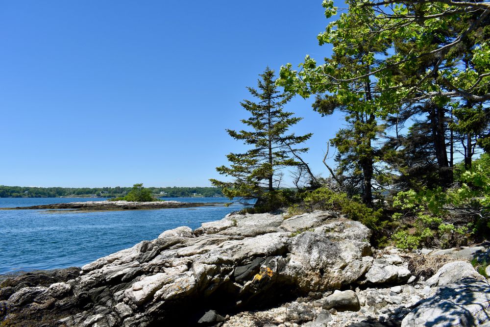
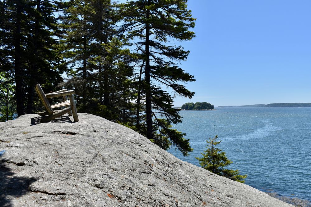
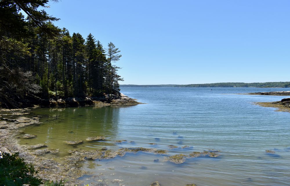
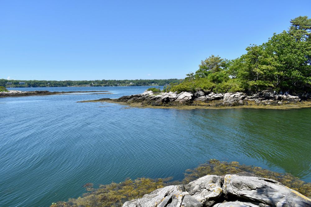
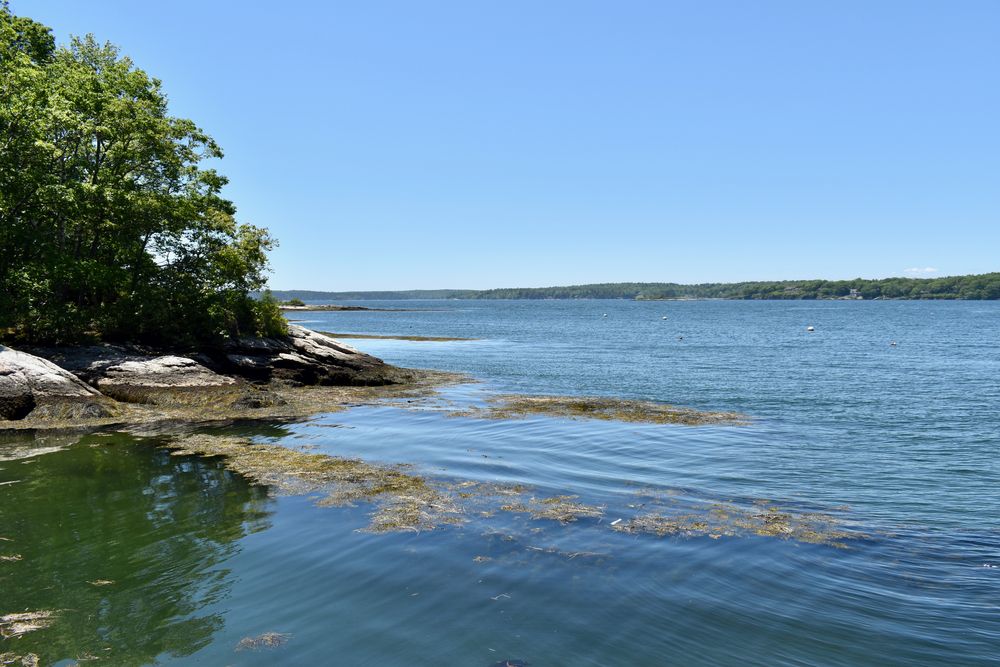
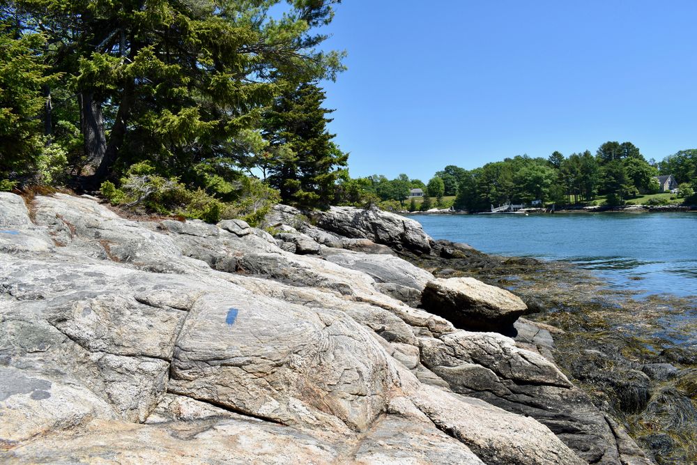
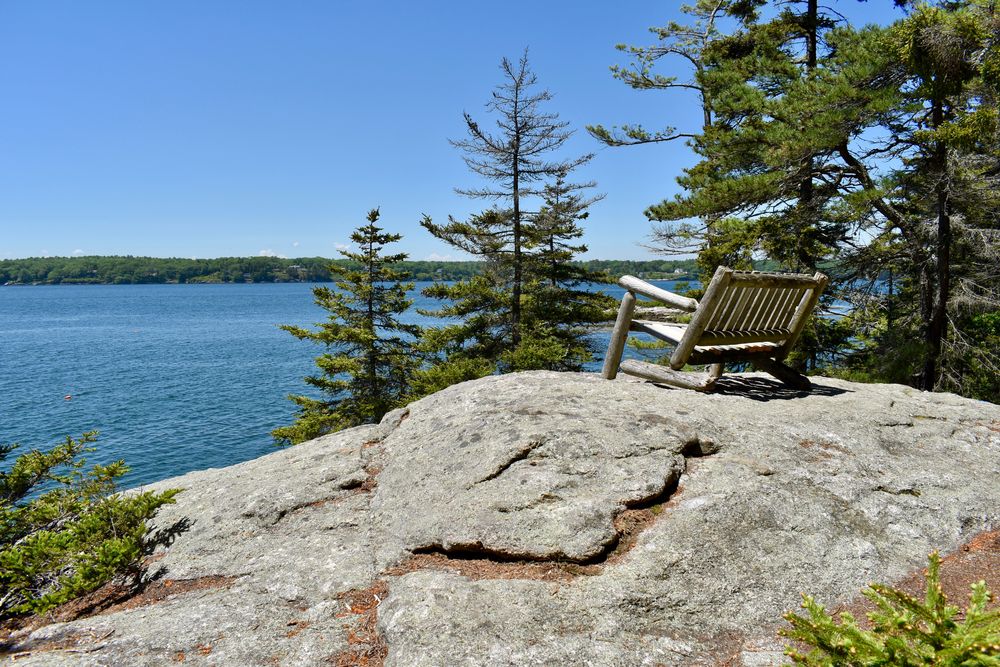
In 1983 Nathaniel Porter donated 19 acres on the southern tip of Barters Island to the Boothbay Region Land Trust. Trails meander through old growth spruce, oak and pine along half mile of shore front on the Sheepscot and Back Rivers with lovely scenic vistas. There is a sheltered cove with a beach and a small off-shore island known as Lydia Ann’s Island.
Nathaniel Porter’s father purchased this land from the Hull and Goddard families in the early 1900s. An old cellar hole still exists on the edge of the Sheepscot on the site of the Hull home. As time progressed, Nathaniel and his wife were pressed to develop or subdivide the property. Courthouse records show several deeds from the Porters establishing conservation restrictions on all their property. Ultimately, they donated the unspoiled portion of their holding to BRLT. We will be forever grateful to the Porters for their foresight and generosity. BRLT hopes that Roberts Wharf will serve as a model for other environmental organizations interested in pursuing strategies that link objectives for shorefront preservation with working waterfront goals.
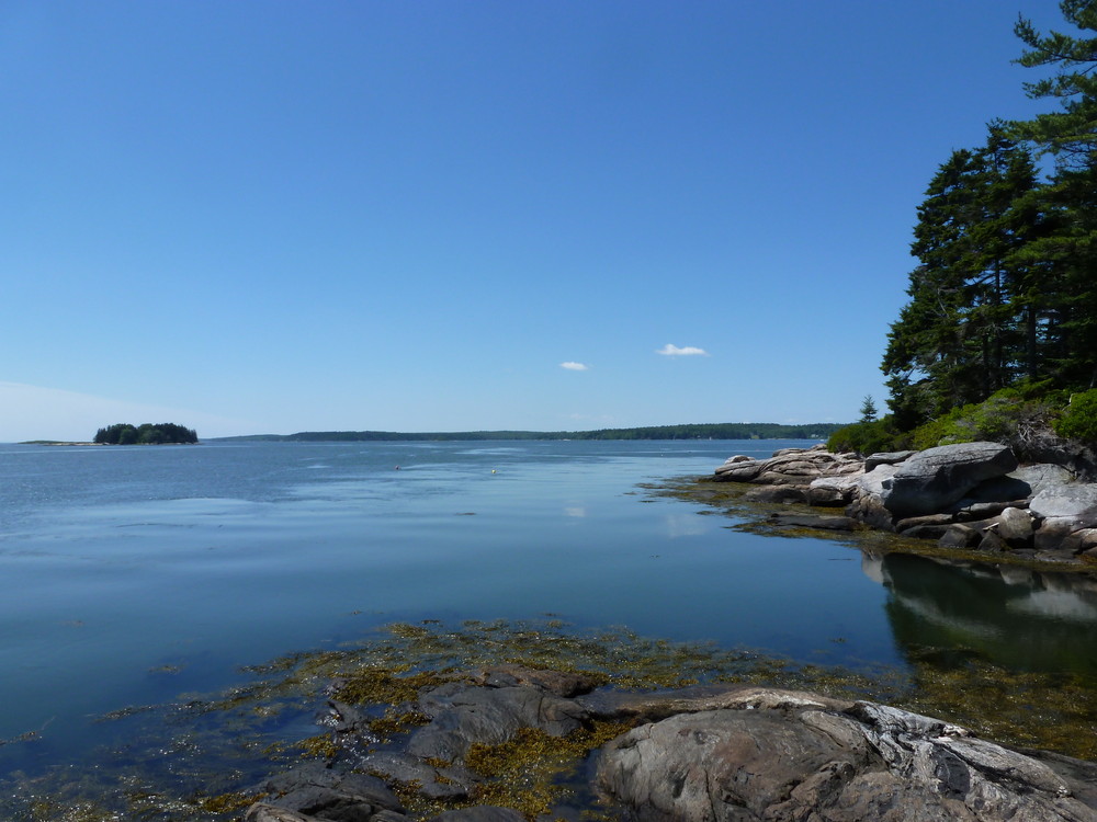
In 2005, through a generous donation from Robert and Linda Jones, the BRLT acquired the 1.9 acre Roberts property adjacent to the Porter Preserve. Over the years, the Roberts had allowed fishermen to access the water and the deep cove on the Sheepscot River. The Joneses wrote: "Our intention (collectively) from the beginning was to allow waterfront activities to continue what we and others in the community have viewed as endangered. We have cherished the mixture of communities and shore and water uses that our parents and forebears found here and were drawn to a century ago. It appears to us that the scales have tipped toward large scale residential/recreational uses and away from small scale intrinsic uses."
The Boothbay Region Land Trust (BRLT) manages the preserve and has worked to preserve the scenic beauty of the Boothbay region since 1980 through conserving land for the benefit and enjoyment of the residents and visitors. BRLT properties are open for quiet, low impact activities. When visiting this BRLT property, please observe the following rules:
Visit Boothbay Regional Land Trust online for more information and a printable map or contact:
![]()
Keep It Quiet: Let nature be the soundtrack—avoid loud music and shouting.
From Boothbay Harbor travel north on ME Route 27; take a left at the monument in Boothbay Center onto Corey Lane. Proceed 0.3 miles. Turn right onto Barters Island Road and travel 2.2 miles, crossing two bridges. Turn left on Kimballtown Road. Proceed 0.5 miles and turn left onto a dirt road. Proceed 0.1 miles to a small parking area on your right just beyond the cemetery. Please do not park along or block the road as it is used by other property owners. Additional parking is available at the end of Kimballtown Road near the stacked lobster traps.
Success! A new password has been emailed to you.