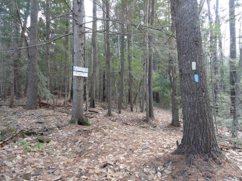
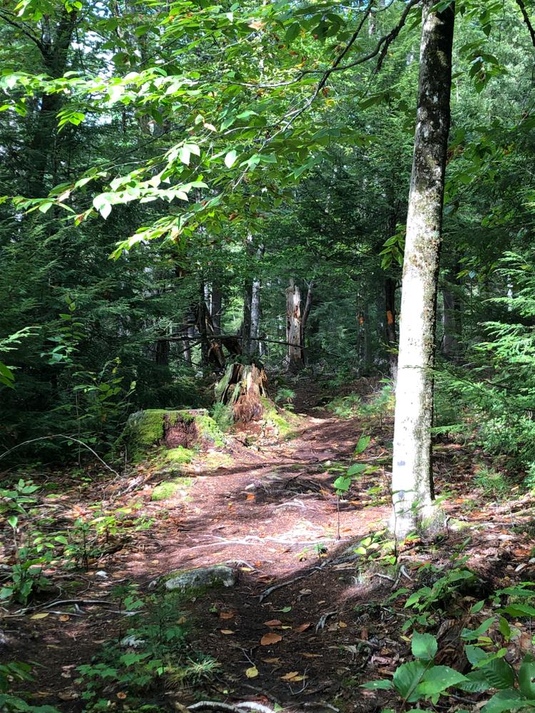
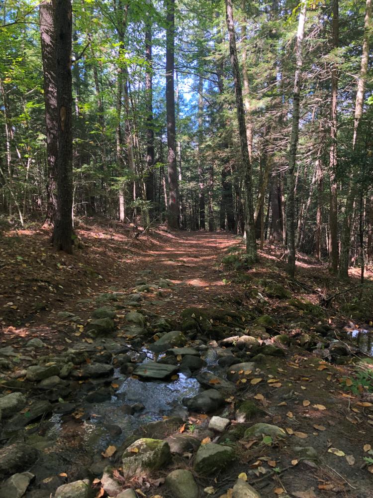
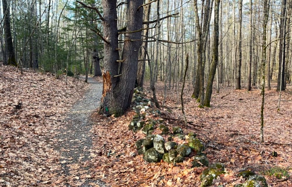
The majority of the trail system is located in sheltered forestland on the east side of ME-128/Cedar Grove Road, the opposite side of the road from the museum, and on a ridge that separates the Kennebec and East Rivers. The system contains many loop trails with varying terrain and numerous options to make longer walks. The trail network contains a number of unique features including ravines with dells and stands of mature white pine, eastern hemlock, and red oak.
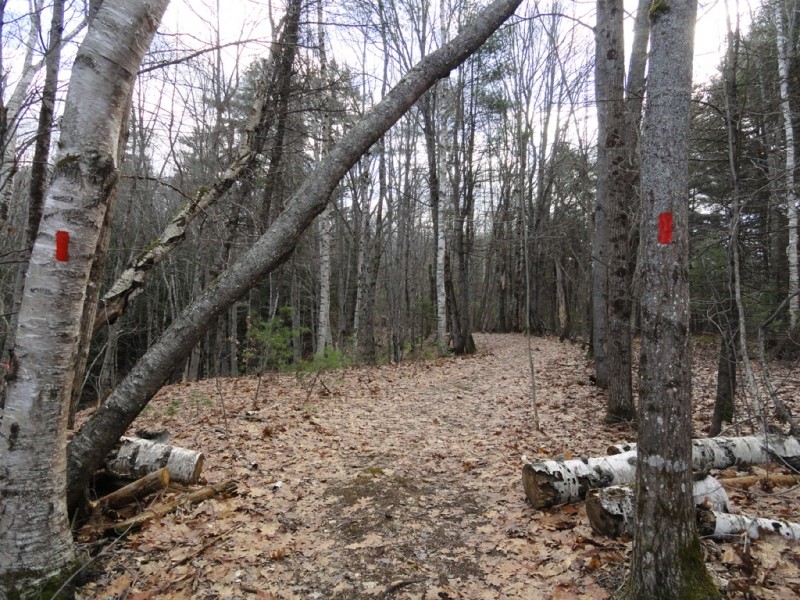
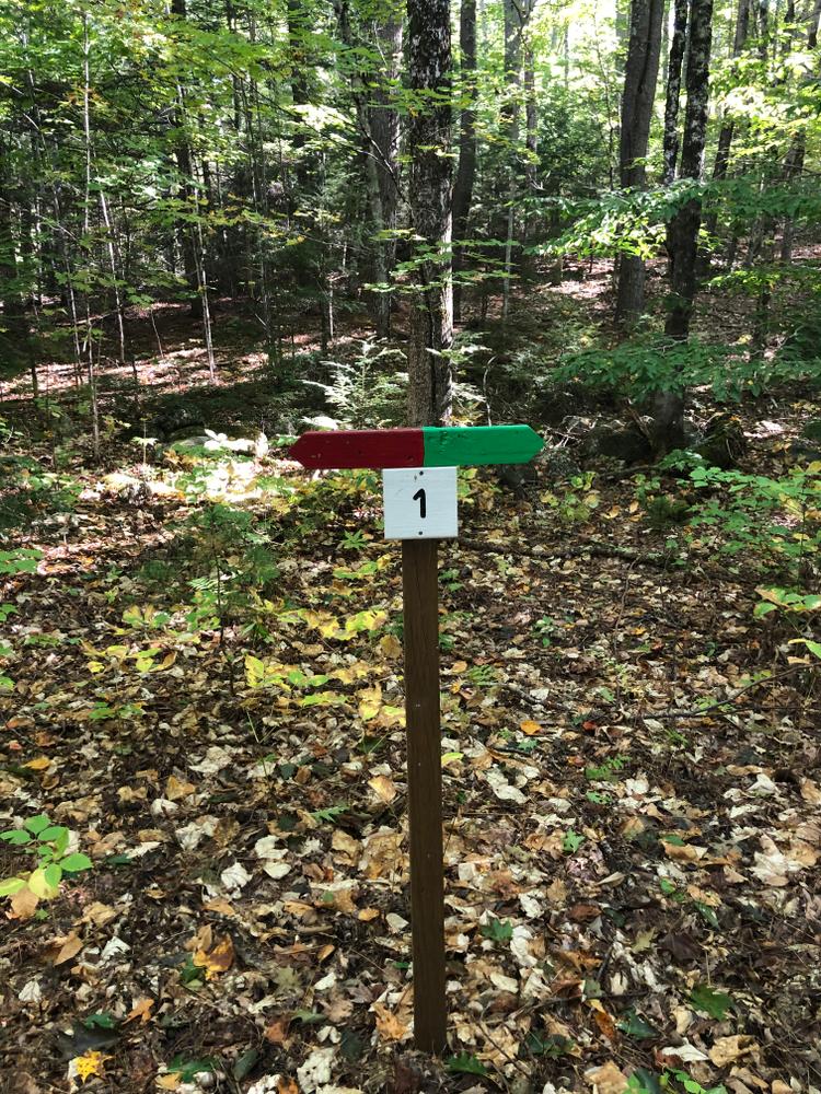
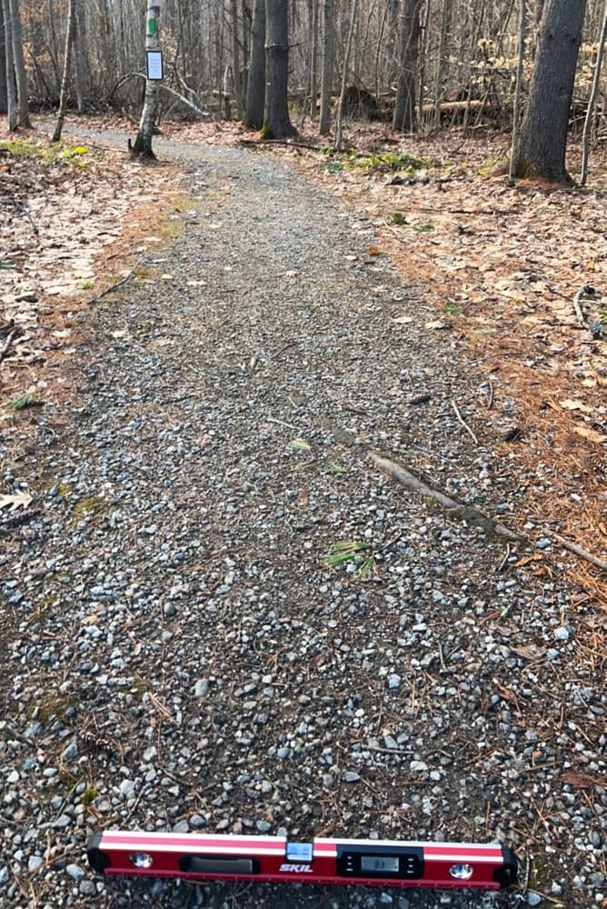
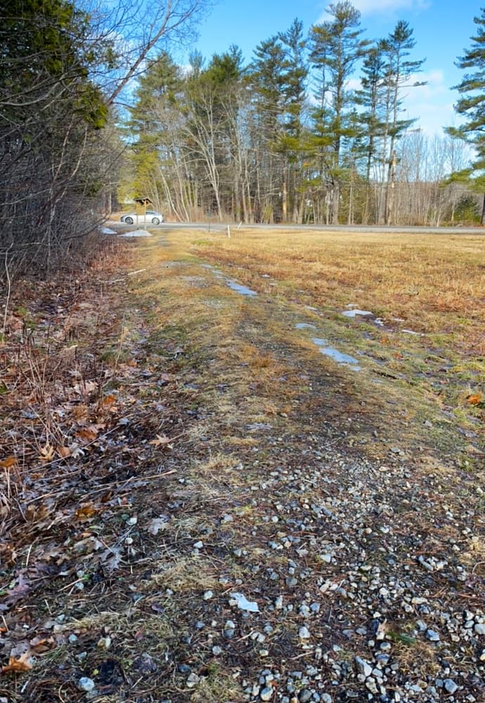
There is an out-and-back trail that offers a high level of access. It begins at the parking area on the east side of Cedar Grove Road. The four-foot wide, crushed gravel and compacted dirt trail begins in a field. This section includes small bumps and divots in the trail treadway but can be navigated with wheeled mobility equipment. The trail enters the forest and becomes more consistently smooth and firm as it winds along an old stonewall. Running slope and cross slope are typically 3% with the steepest brief slope of 6%. The trail ends at signed junction #2 after 0.25 miles. See Trail Access Information & Considerations below for more details on these access(ible) experiences.
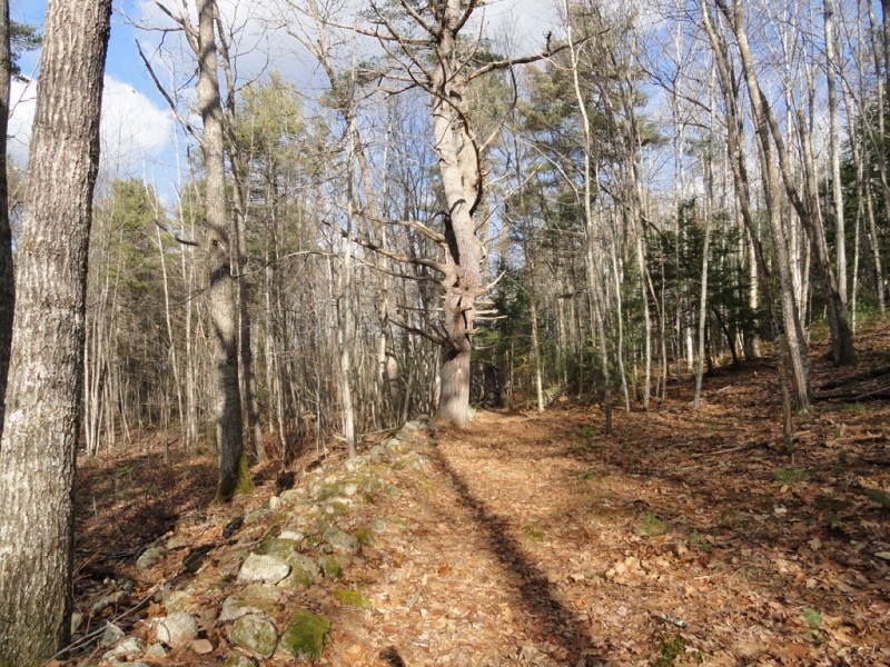
A perimeter loop trail extends from the parking lot and follows the original Cross Road continuing on to an original rangeway. The trail then intersects with the Common Road, a discontinued town road before looping back to the west across a town-owned woodlot.
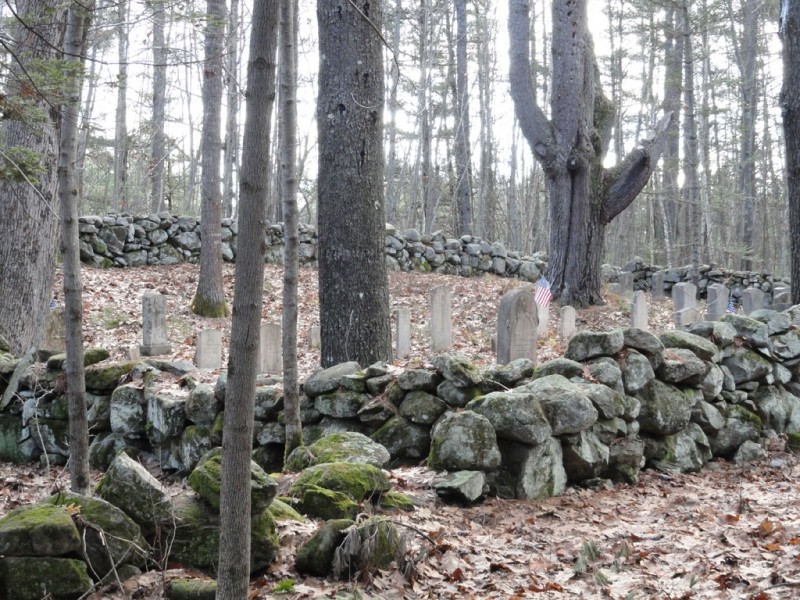
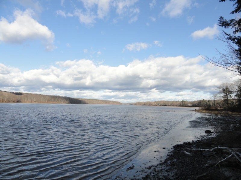
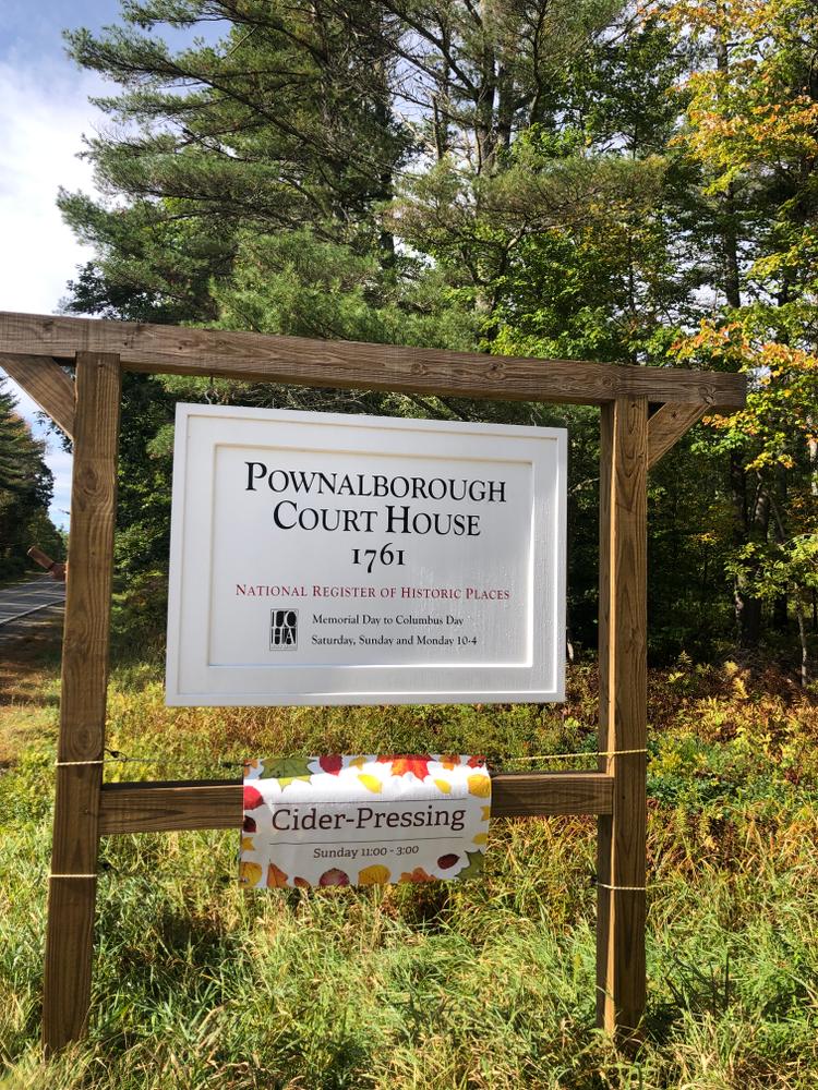
The narrow single track trail system also includes a trail that arcs towards the Kennebec River through a hardwood stand that extends above an old stone wall. This stone wall, the Cross Road, and the old Rangeway all hint at the mid 18th century settlement of the original community of Pownalborough, established in 1761 and overseen by the Kennebec Proprietors, as part of Lincoln County—then part of the Royal Massachusetts Bay Colony. They comprise part of the physical evidence documenting the settlement, transportation routes and the history of what is now the Town of Dresden. The old dirt road in front of the Pownalborough Court House leads to the Goodwin family cemetery and the short but scenic Nature Trail that leads to the banks of the Kennebec River below the court house.
(Applies to access(ible) experience as highlighted in map, from parking to sign #2)

Trail conditions can change without warning. Trail last assessed: 4/4/2026.
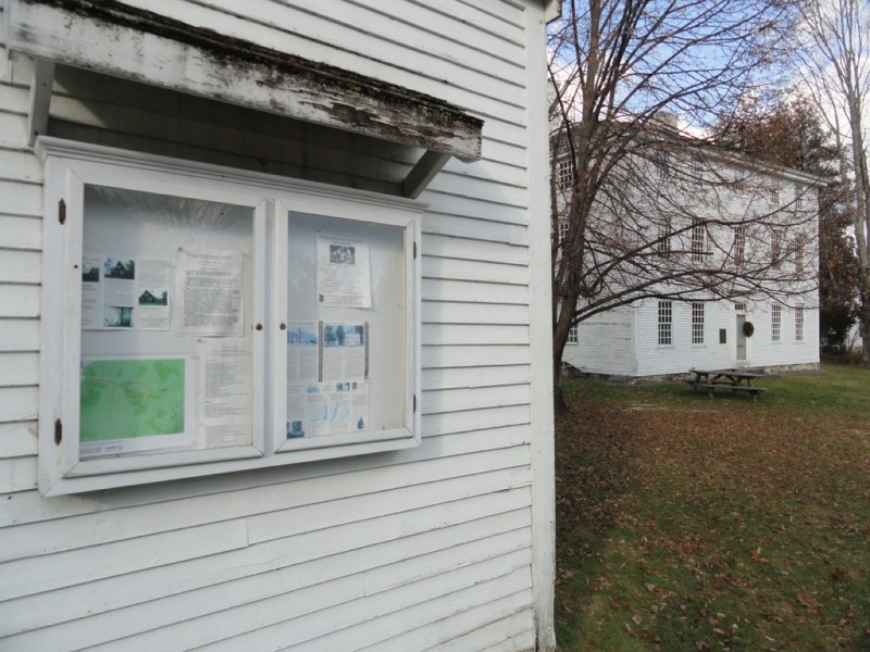
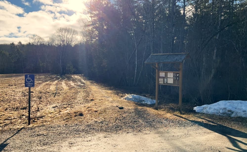
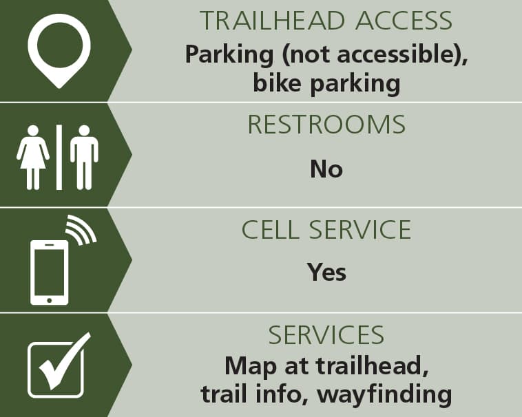
Trail maps can be picked up from the kiosk at the parking area.
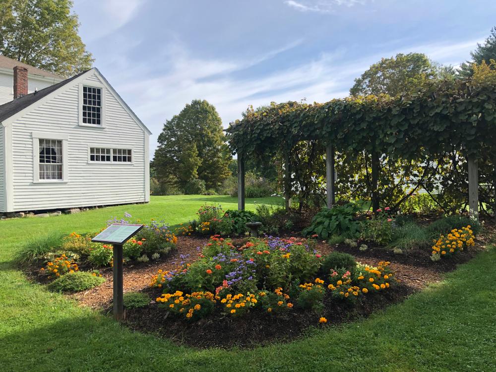
The lawns of the Court House offer picnicking opportunities at several strategically placed picnic tables, and are provided with ADA-compliant restroom facilities available to visitors.
Lincoln County Historical Association has volunteers and re-enactors that put on diverse and dynamic living history reenactments both at the Court House and also on the surrounding property. For more information on programming, inquire with the Lincoln County Historical Association using the contact information below.
Visit the Lincoln County Historical Association online and on Facebook at Pownalborough Court House Museum.

Protect Habitat: Stay out of nesting areas and keep pets leashed.
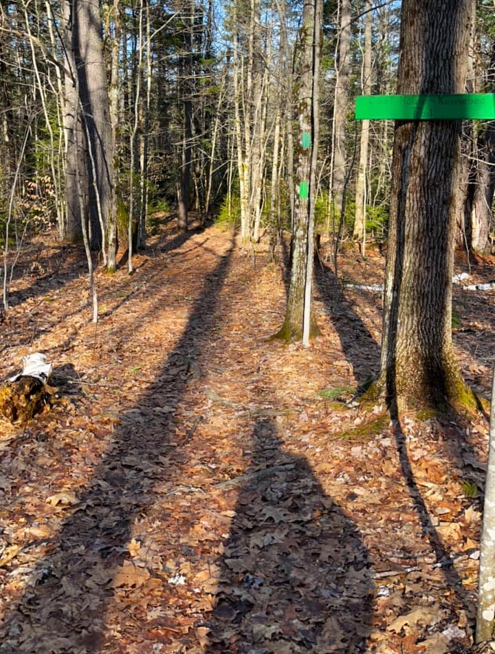
Parking for the Pownalborough Court House Trails is located in a dirt lot on the east side of ME-128/Cedar Grove Road, 1.3 miles north of Dresden. Additional parking is located just across ME-128 in front of the historic courthouse at the end of Courthouse Road. The accessible, green-blazed trail leaves right from the parking lot.
Success! A new password has been emailed to you.