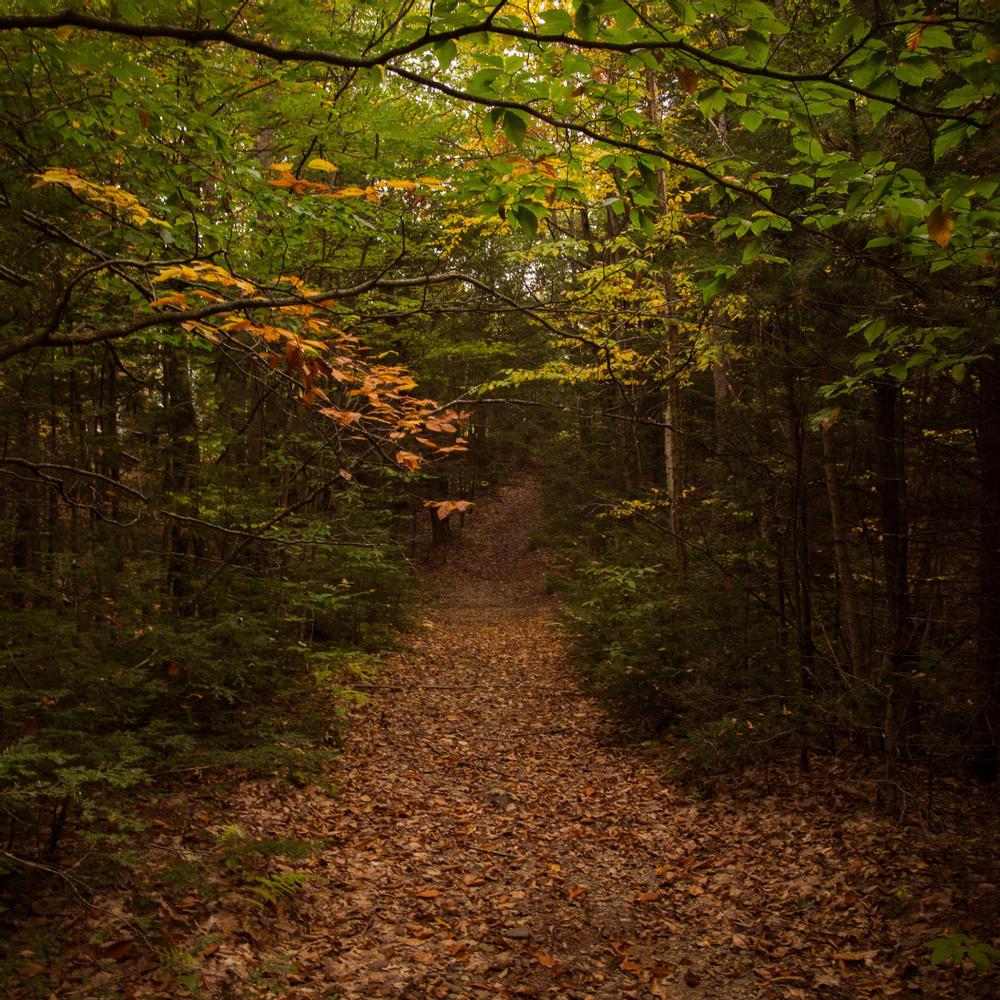
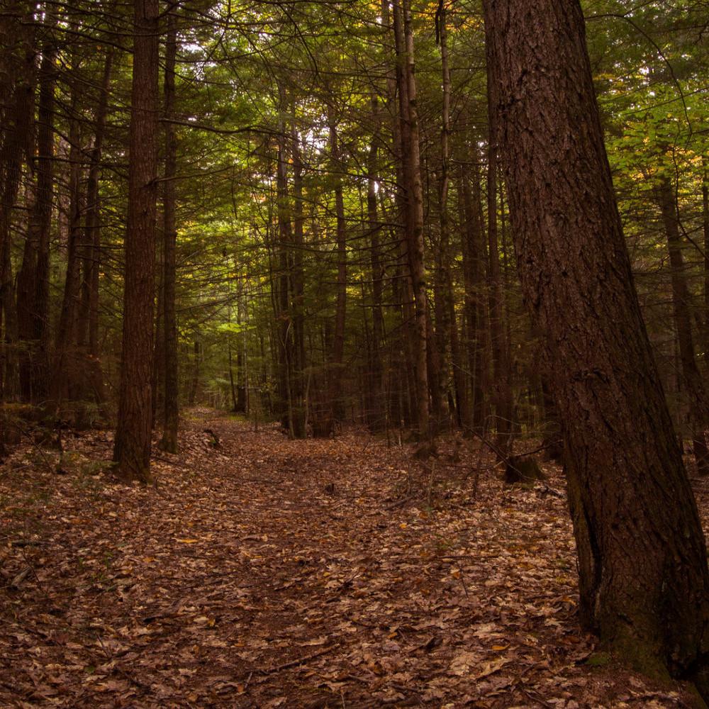
The trail loops around the small Rock Ridge Run subdivision through thick forests with a diversity of tree species, including hemlock, birch, maple, beech, oak, pine, alder, and fir.
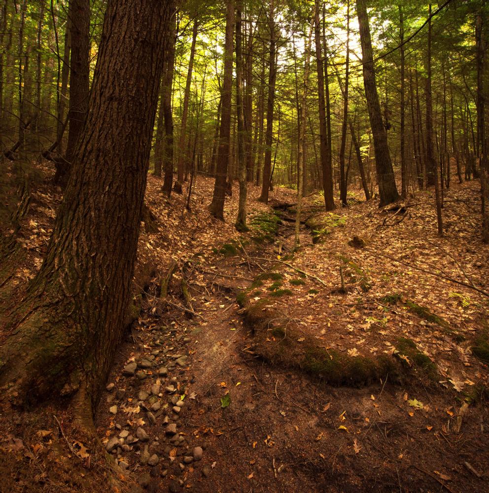
From the trailhead on the south side of Rock Ridge Run, the trail leads south and, looping counter-clockwise, follows a stream through thick woods to a range way. The northern portion of the loop utilizes a power line clearing, before returning to the north side of Rock Ridge Run. Please note, the loop trail is not well marked, particularly along the CMP power line, so take care. (The trail and signs will be improved in the near future.)
GUIDELINES
For additional information, visit the Chebeague & Cumberland Land Trust website, or contact:
![]()
If You Pack It In, Pack It Out: Carry out all trash, including food scraps and biodegradable waste like fruit peels. Bonus points for packing out trash you find along the way.
From US-1 in Cumberland, head west on Tuttle Road for 1.5 miles to Harris Road. Turn left onto Harris Road and go 1 mile to Rock Ridge Run on the left. The trailhead and a small parking area are 0.2 miles down Rock Ridge Run on the right.
Success! A new password has been emailed to you.