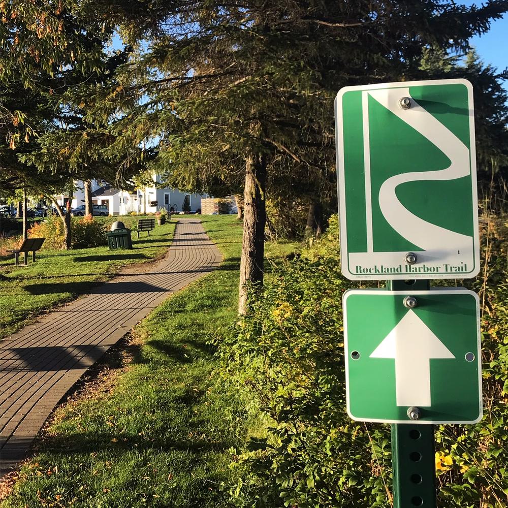
The trail links the commercial downtown with the working waterfront, providing a peaceful walk with scenic views, a glimpse into Rockland's maritime history, and an opportunity to experience the arts and culture of the city.
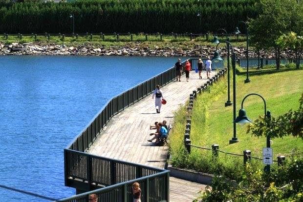
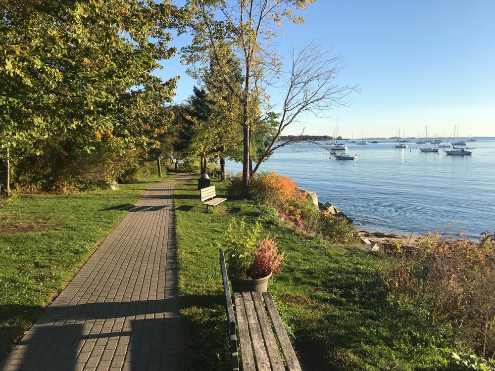
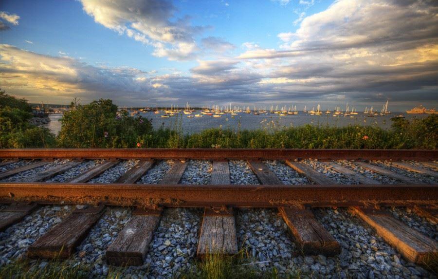
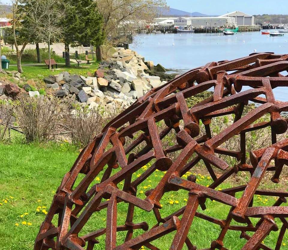
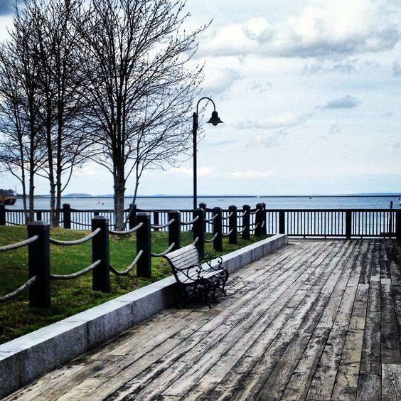
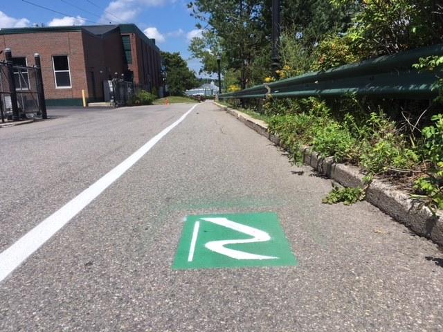
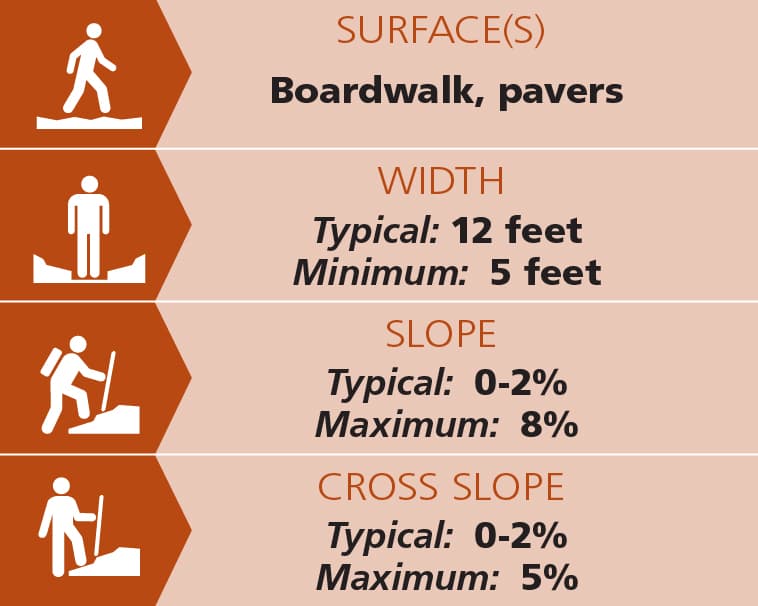
The trail includes sections of gravel and pavers, following the shore or travelling along and through city parks, as well as some sections of pavement and sidewalk along roadways. The trail becomes a 12-foot wide wooden boardwalk with no slopes or cross slopes directly along the shore. The two ramps at either end of the boardwalk are 8% This half-mile stretch, from Atlantic Street to Harbor Park includes many benches and picnic tables. The wooden boardwalk has a flat grade, and may be suitable for strollers, wheelchairs, and those with mobility challenges.
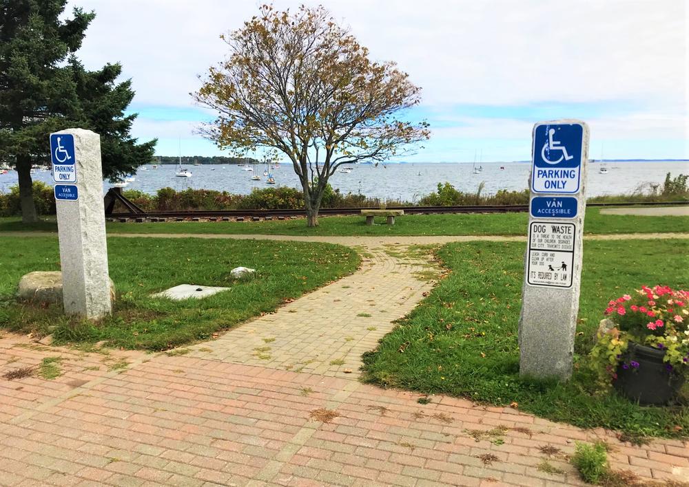
(Applies to section from public landing trailhead to Atlantic Street)
Trail conditions can change without warning. Trail last assessed: 4/4/2026.
For more information, visit the City of Rockland website, or contact:
![]()
Know the Rules and Be Prepared: Research local regulations, including permits and fire restrictions, on sites like Visit Maine. Pack plenty of food, water, and the other Ten Essentials before heading out on your adventure.
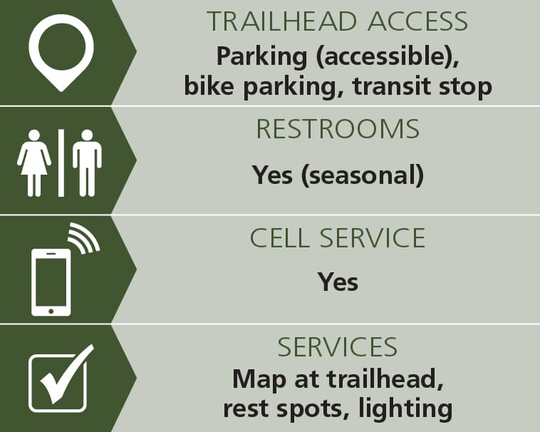
The south end of the trail is located by the Children's Coastal Museum. To get there, take Main Street south. 0.7 miles from the intersection of Main and Park Streets, take a left onto Mechanic Street. In 0.2 miles, turn right onto the road just after Snow Marine Park, which leads to a public parking lot for the Rockland Public Landing, the best place to park to access the south end of the trail.
The north end of the trail is at the Rockland Breakwater parking area. Head east on Waldo Avenue from US-1 for 0.5 miles, and turn right onto Samoset Road. The parking area is 0.5 miles down on the left.
There are numerous public parking lots and limitless points of access to this trail along the entirely of its length.
Success! A new password has been emailed to you.