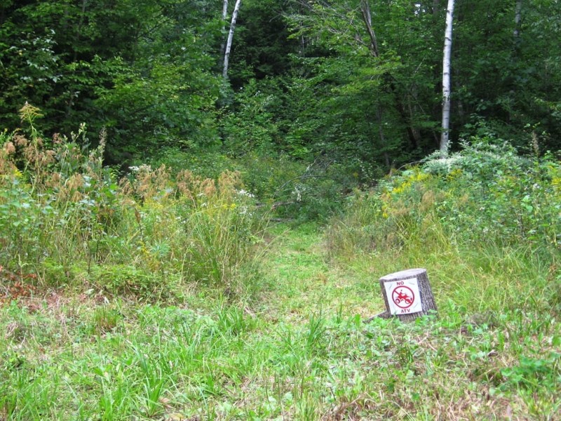
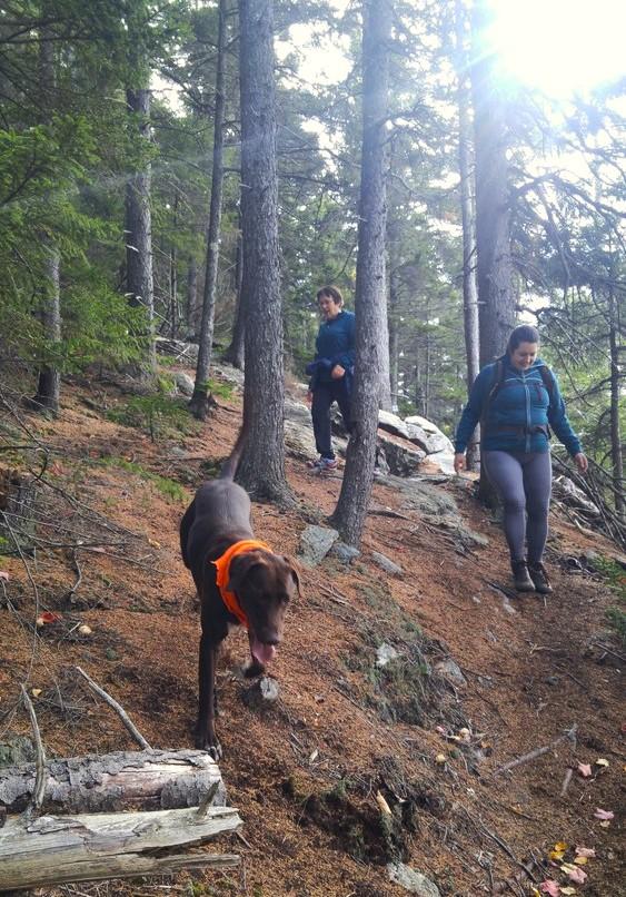
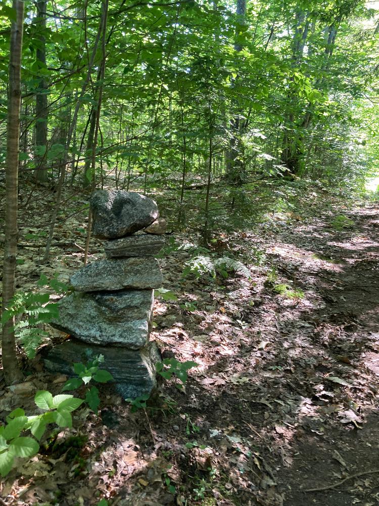
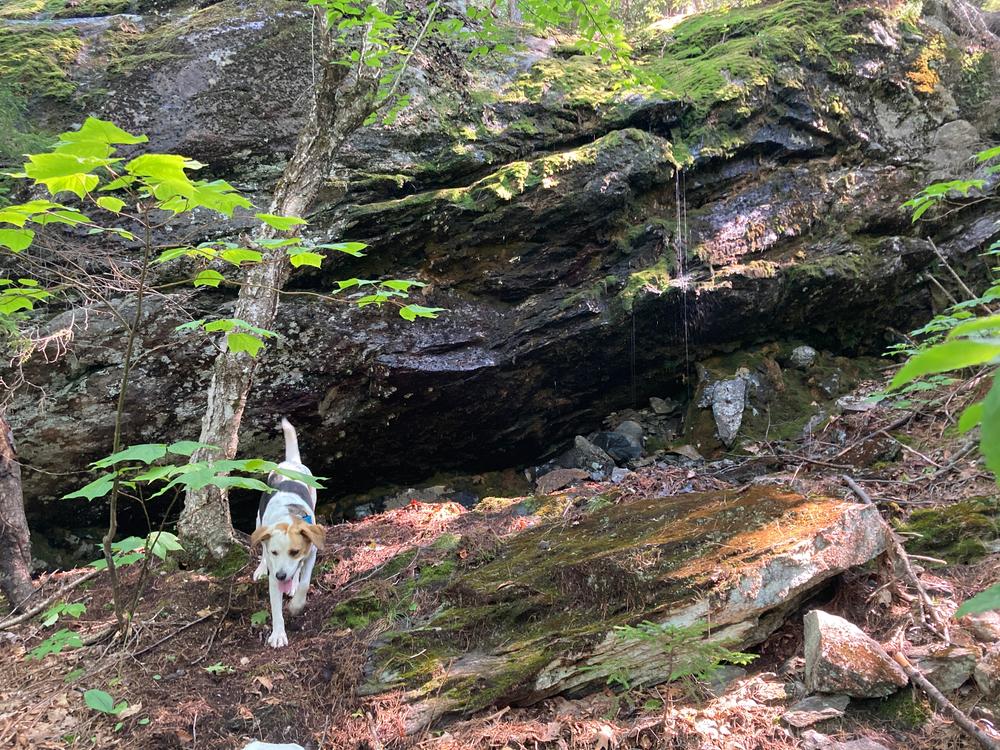
The trail leaves from the upper right corner of the parking field and follows a mowed path. It trends gently uphill and crosses the Portland-Montreal gas pipeline. This carefully crafted trail has no blazes, but instead is mowed on the lower part and marked with many cairns on the rest. Much of Round Mountain has been harvested recently, so it is important to look closely and pay attention while following the trail. The trail links together several grown-in skidder roads and threads its way up the mountain, avoiding the recently cut areas.
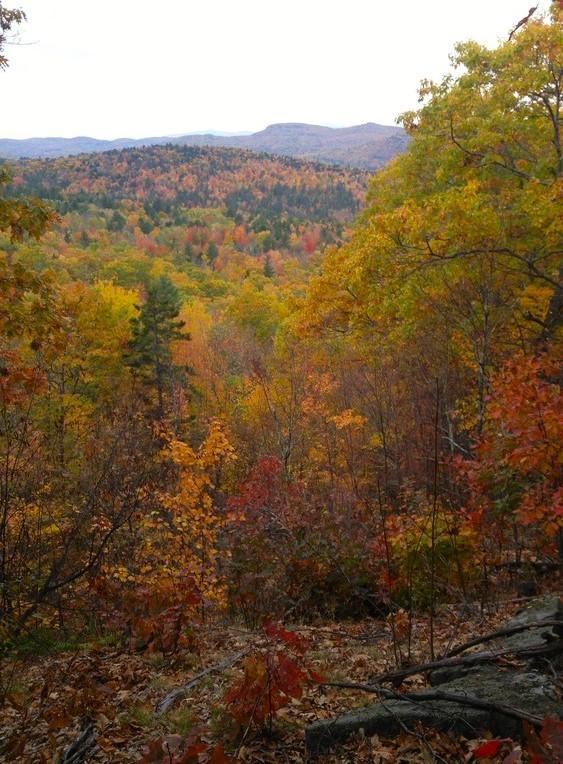
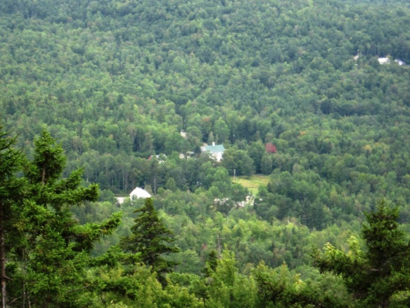
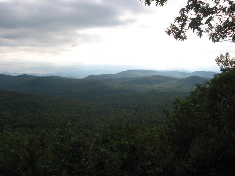
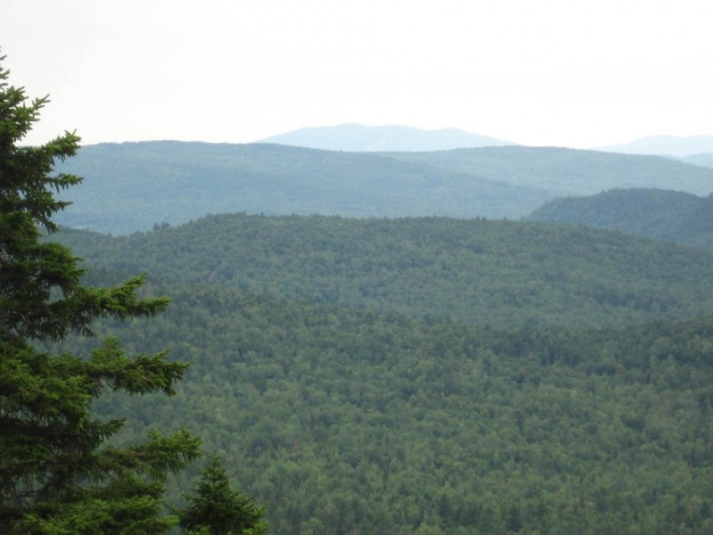
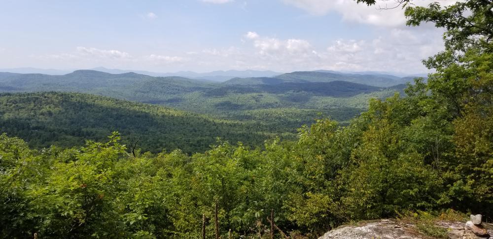
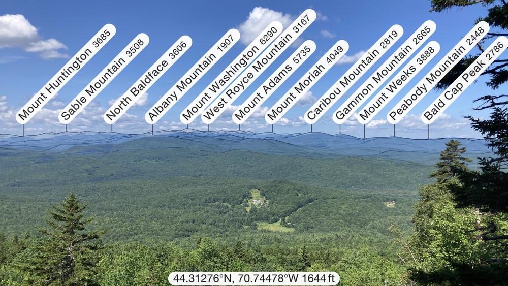
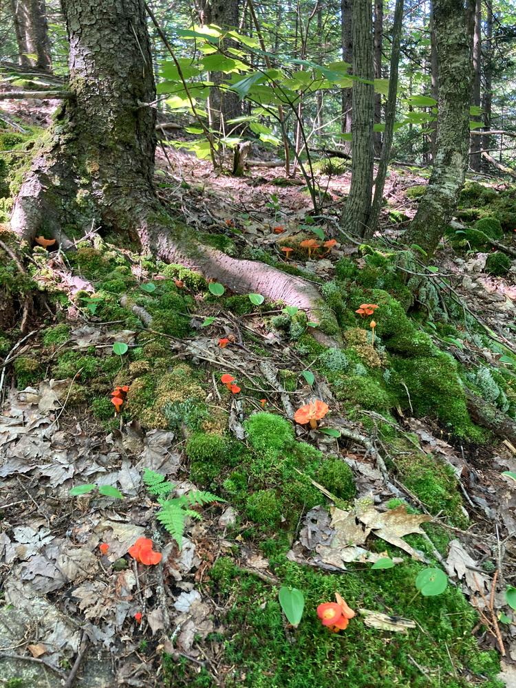
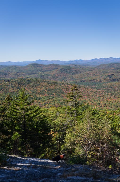
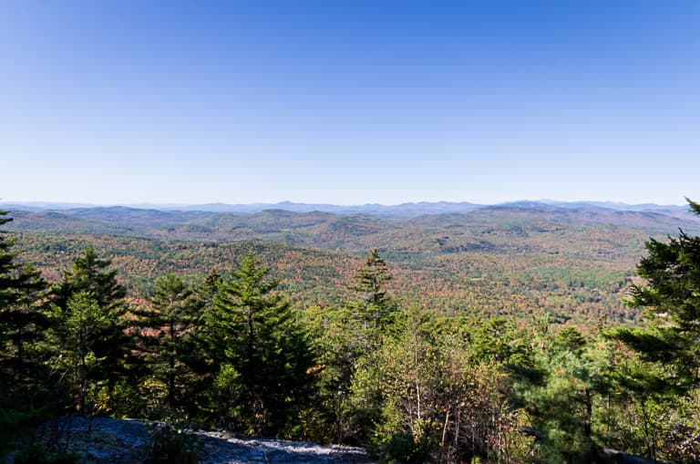
After the pipeline, you are in a predominantly hardwood forest with many red oak trees, some of them gnarled, broken, and hollow but still living. A few are nearly 4-feet dbh (diameter at breast-height). As the trail gains elevation, more conifers join the mix until near the top it is all spruce and fir. There are three viewpoints along the way, each giving a wider view than the last. The White Mountains, roughly from Mount Monadnock to Mount Adams are front and center on a clear day. In the foreground is Hunt's Corner, once the hub of activity in Albany. The church, parsonage and 1875 Round Mountain Grange Hall can be seen.
The trail ends at the last ledge, 660 feet above the trailhead. The summit of Round Mountain is another 100 feet higher, but completely tree-covered with no view.
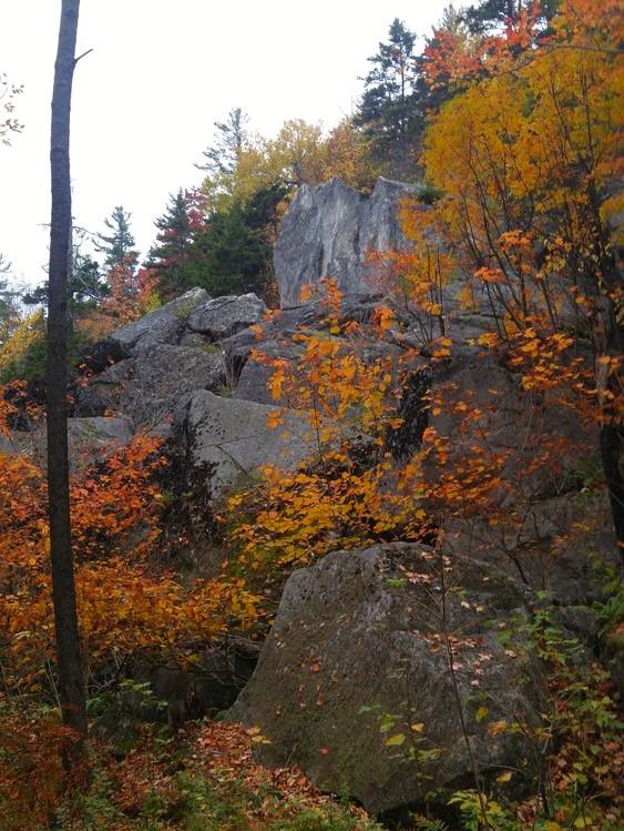
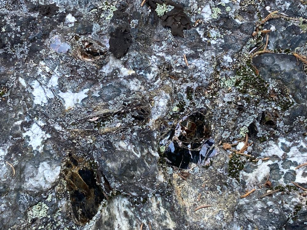
Rock Castle Loop: Approximately 0.1 miles before the highest ledges on Round Mountain, the hiker reaches the Rock Castle Loop. This short loop can be made from either direction although hiking it counterclockwise avoids a steep climb above the rock castle. The directions here are for hiking the loop counterclockwise. Once the hiker has reached the final ledge of the Round Mountain Trail (approximately 0.1 miles beyond the returning Rock Castle Loop junction), the trail descends steeply north by northwest passing through open spruce forest. After this short descent, the hiker comes to a viewpoint above the top of the rock castle. This feature is a sheared-off remnant of glacial activity 10,000 years ago. The trail continues above the castle and then descends rapidly to its base. The rock castle may be explored with great care as there are many fissures, crevices, and an unmarked route to the top of the castle for the surefooted. From the top of the castle there are seasonal views west and north. After exploring the rock castle, the loop continues south for 0.1 miles, connecting back to the Round Mountain Trail.
Round Mountain, is owned by private landowners. They maintain this trail at their own expense for public use. Please respect the property to help ensure it can remain open to the public. Camping and fires are not allowed, and please carry out what you carry in.
For more information contact:
Bruce BarrettBe Aware of Seasons: Give extra space during breeding and migration times – be aware that some hiking and climbing areas are closed seasonally during nesting season.
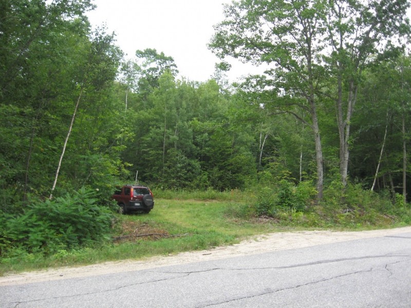
The trailhead is currently unmarked, but easy to find. It is a small mowed field on Hunt's Corner Road in the unorganized township of Albany.
From North: From Main Street in Bethel village, go out Vernon Street 6.9 miles to the stop sign; bear left and go 1.2 miles on Hunt's Corner Road to the obvious turnout and field on the left. It is 200 feet after you pass the open swath of the gas pipeline.
From South: From the east end of Main Street in Norway, go east 12.5 miles on ME-118 to North Waterford. Bear right on ME-35. After 1 mile, turn right to stay on ME-35. As you turn right, on your right is one of Maine's iconic directional signs. Continue for 6.2 miles to a right turn onto Vernon Street. Take an immediate right onto Hunt's Corner Road and go 1.2 miles to the obvious turnout and field on the left. It is 200 feet after you pass the open swath of the gas pipeline.
Success! A new password has been emailed to you.