Sherwood Forest Conservation Area

This trail network spread out over 28 acres of woods and fields heads uphill from the Sherwood Height's Elementary School crossing several streams and providing access to a small pond.
Trail Activity
Snowshoeing Mountain-biking Walking Hiking
Length
2.40 miles, Network
Difficulty
Easy, Moderate
Town
Auburn
Surface
Dirt/Forest Floor
Pets
Permitted
Fees
No

Description

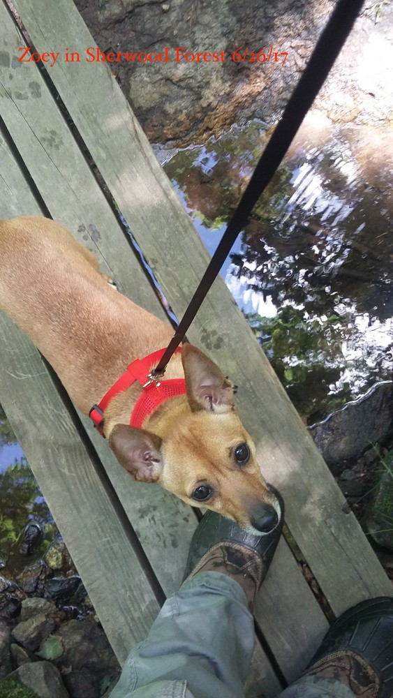
The Sherwood Forest Conservation Area contains 28 acres of woods and fields owned by the Androscoggin Land Trust adjacent to Sherwood Heights School and another 50 acres owned by the City of Auburn. The whole area has an extensive trail system that is used by students for nature study and educational opportunities as well as the general public's enjoyment. The ALT owned property, also known as the Alexander-Harkins Preserve, was donated by Joseph Harkins to ALT in 2000.

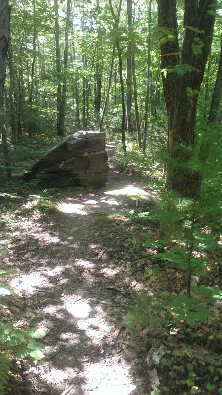
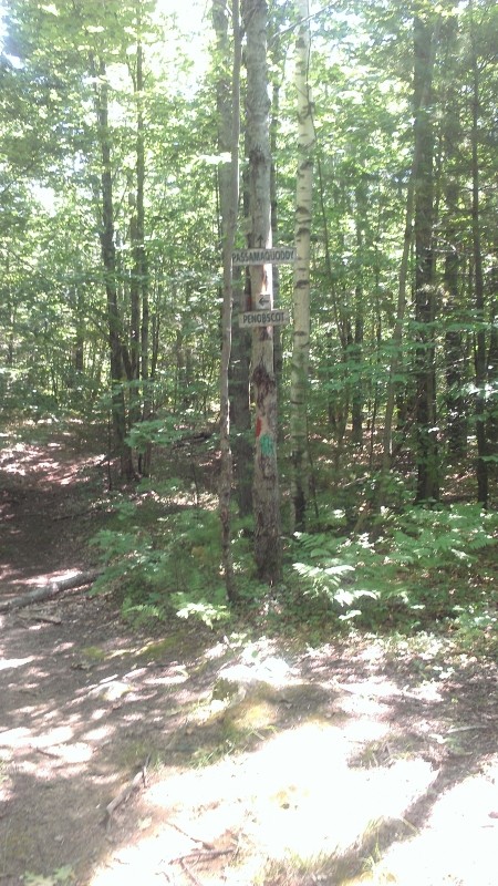
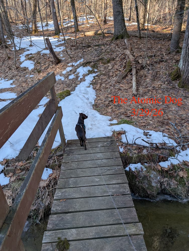
The trails on the City-owned land can be hiked in three separate loops all named for Native American groups in Maine. The inner Micmac Loop is the shortest marked by white blazes crossing several ravines. The second Penobscot Loop has red blazes with the beginning and end coinciding with the Micmac trail. The third, outermost Passamaquoddy Loop crosses an open field marked by green blazes and has a trail head that is accessible at the end of 19th Street.

Trail Manager

Visit Androscoggin Land Trust online for more information or contact:

Androscoggin Land Trust

Androscoggin Land Trust
86 Main Street, Suite 201
PO Box 3145
Auburn, ME 04212
Phone: (207) 782-2302
View website

Nearby Events

VIEW EVENTS CALENDAR

Trail Tips

Minimize Campfire Impacts
Use only small pieces of dead and down wood for campfires and let them burn down to ash. Please extinguish your campfire before leaving.
Legend
Hide All

Trailhead Information

The Sherwood Forest Trails are accessed behind Sherwood Height's Elementary School, located at 32 Sherwood Drive in Auburn. From where ME Route 136/Main Street intersects Mill Street in Auburn, leave ME Route 136 to continue onto South Main Street. Follow South Main Street 0.5 miles to Bolster Steet. Turn onto Bolster Street and continue straight through the stop sign onto Sherwood Drive. Parking is available in front of the school.

Click on a parking icon to get custom directions
Please Log In or Create Account to add comments.
nalgene
August 07, 2015
Agree on the bugs, I think the trail needs some TLC. Some confusion when the green split off to the blue. No signage about the blue. Decent walk anyway.
chasfranklin
July 08, 2014
Well maintained trails with lots of loops and side trails. Lots of bugs today!
These awesome businesses support our goal of connecting people to outdoor adventures in Maine!
Hang Tight!
Nearby services are loading
No Results
No Services Found
SHARE THIS TRAIL

Add Trail Log

Please wait…
Join In on the Fun!
Log in or create an account below to unlock all the great features of Maine trail finder: keep track of trails you want to do, preserve memories of trails you’ve done, earn badges, and more!
Your log in attempt was not successful. Please try again.
    Lost your password? Reset your password
    Don't yet have an account?
    There was an issue with your submission. Please try again.
      * Indicates required field
      Already have an account? Login here
      Enter your username, and we will send you a new, randomly generated password to your email account.
      There was an issue with your submission. Please try again.

        Success! A new password has been emailed to you.

        Log in now

        Please wait…