The Main Loop Trail is 1.4 miles and is divided into 3 subsections: the Valient Trail, the East Nile Trail, and Falcon Road. The Great Back Lots Trail is only 0.5 miles, but features a beautiful stream crossing. The Main Loop Trail can be accessed from the Great Back Lots Trail, and because both of these trails are loops, visitors can choose how lengthy they wish their hike to be.
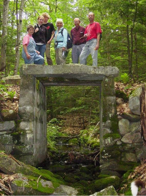
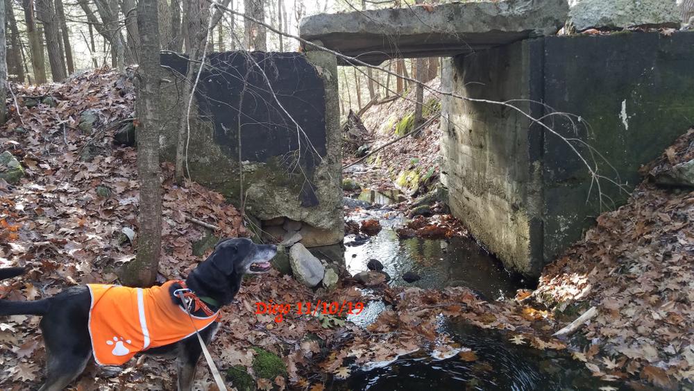
As you hike the trails on the east side of the Pine Tree Road, look for these interesting natural and historical features: stone farm foundations and pasture walls; a unique black locust stand that was planted for field posts; a stone bridge built in the 1950s that provided access to the best farm soil; a glacial marine clay bank along a stream the family calls “The Nile,” where clay was dug for pottery; and the remnants of a sugar house where the family once boiled thousands of gallons of sap.
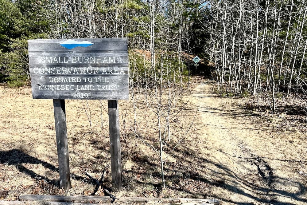
The Great Back Lots Trail begins at the Kennebec Land Trust sign and winds through a forest dominated by an impressive stand of eastern hemlocks (Tsuga canadensis). Scattered in this forest are sugar maples, yellow birch, and other northern hardwood species. For over two centuries, since settlers first arrived in Litchfield, pines and hardwoods in this woodland have been harvested for lumber and firewood, leaving hemlocks as the dominant tree species. Today, this forest provides valuable habitat for Blackburnian and black-throated green warblers, wood thrush, as well as other Maine wildlife that are associated with mature woodlands. As you hike the trail you will find many fascinating mushrooms that thrive in this shady forest, including Amanitas, Boletes, Polypores, Russulas, and Gomphus species.
Snowmobiles are only permitted on clearly marked trails.
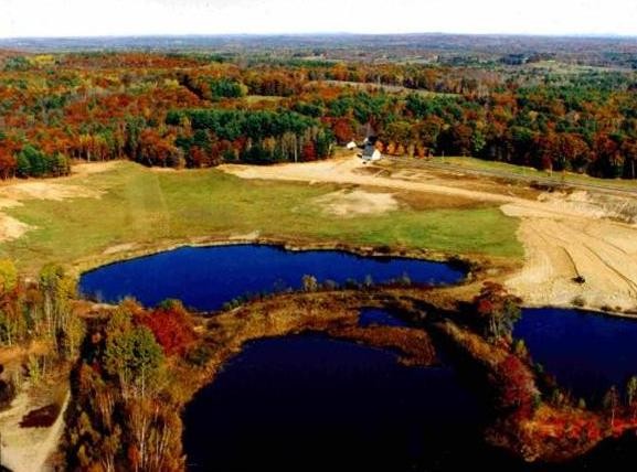
In August, 2010, Ina (Hutchins) Small, Delmar Dustin Small and Teague Morris granted a conservation easement to KLT on 250 acres of woodlands, wetlands, hay fields, and ponds on the Pine Tree Road in Litchfield. On the west side of the Pine Tree Road across from the KLT sign, there are ponds that were once gravel pits. Granville Small devoted years of his life to reclaiming these wetlands. As landowners with a conservation easement, they can continue to garden, raise hay, manage their woodlands, and enjoy the beauty they find in the natural world. The Smalls and the Burnhams have lived and worked on this land since the 1840s.
Visit Kennebec Land Trust online for more information and a printable map, or contact:

Be Courteous at Boat Launches and on the Water: Have patience at boat launches and make sure to share these public spaces. Give space to anglers, paddlers, and boaters, and remember, there’s no swimming at water-access sites. Swimming access points can be found here.
From Monmouth: Take the South Monmouth Road to Days Corner; cross ME Route 126 and go over Oak Hill; cross the bridge, and at the stop sign, turn left. Almost immediately take the first right onto Libby Road. At the stop sign go straight onto Plains Road. Take Plains Road 1 mile to Pine Tree Road. Turn left on Pine Tree Road. After about 0.5 miles look for the Kennebec Land Trust (KLT) sign and parking area on the right.
From Augusta: Take the Maine Turnpike I-295 south to Exit 103. Just after the toll both, take Exit 51 (W. Gardiner). Turn left onto ME Route 126 East. Go 0.5 miles, then turn right onto Old Lewiston Road. Take the first right onto Pond Road (which becomes Plains Road in Litchfield). Black Crow Bakery will be on the right in 8.1 miles. Go past the bakery for another 0.4 miles and then turn right on Pine Tree Road. After about 0.5 miles look for the Kennebec Land Trust (KLT) sign and parking area on the right.
Success! A new password has been emailed to you.