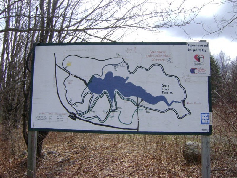
The Split Cedar Trail network has four major loops described below.
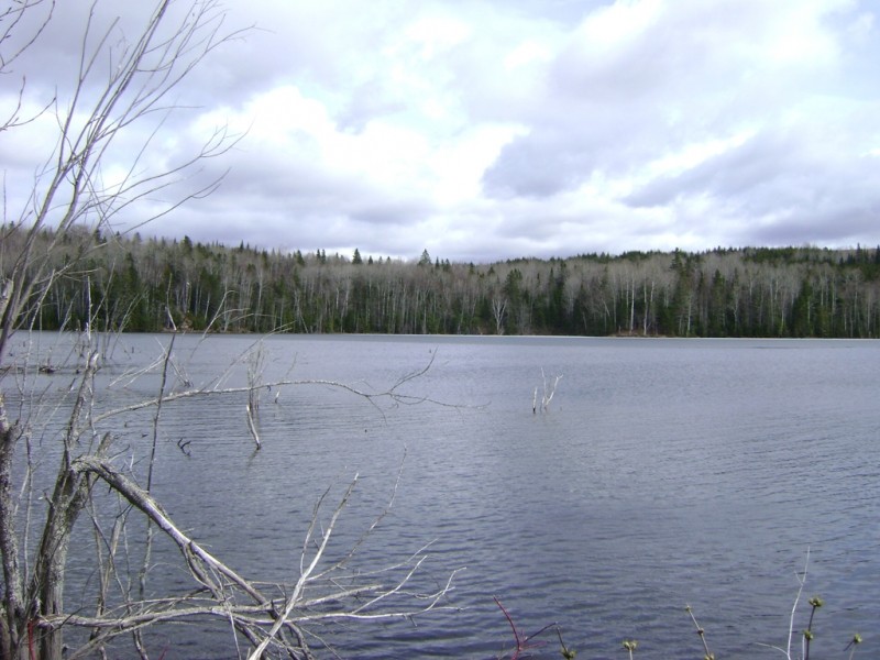
Coyote Trail Loop (1.7 miles, easy): The trail rolls along the north side of the reservoir, with nice views of the water and woods to the south. The trail then does a loop in the woods, with a short section of two-way traffic before gently climbing back to the trailhead. The trail can be accessed from the Parking lot along the St. Mary's Road.
Snow Hog Trail Loop (1.1 miles, easy): This is the shortest trail in the Split Cedar Network, which undulates near between the parking area and the reservoir. Part of the trail may be on the reservoir, depending on the water level. The trail can be accessed from the parking lot along the St. Mary's Road. Part of the trail is well maintained for summer use. It is often used by the local ATV club. Riders are very courteous and will normally yield to pedestrians. The rest of the trail is often wet or under water and is not maintained for summer use.
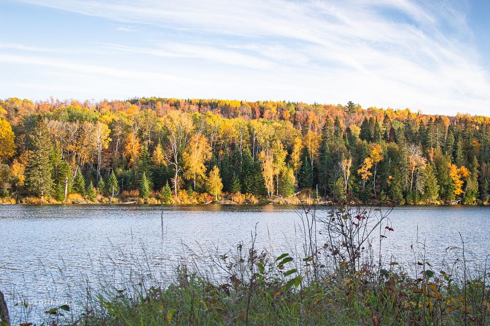
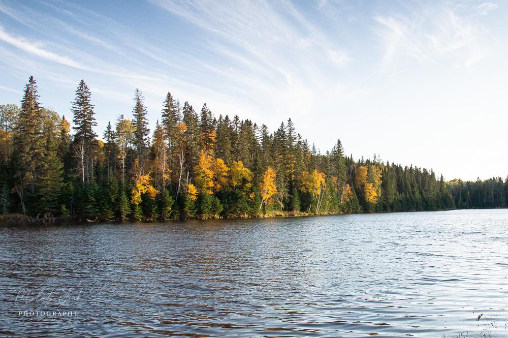
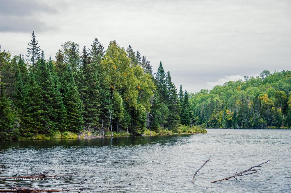
Split Cedar Trail Loop (5.0 miles, easy): The trail weaves along the shore of the reservoir, passing a beaver dam and two warming huts, before climbing and descending more steeply downstream of the reservoir, then returning to the trailhead. The trail can be accessed from the parking lot along the St. Mary's Road or from the Van Buren Water District building via a 3 mile connector trail from the village.
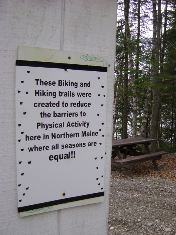
White Hawk Trail Loop (3.7 miles, easy to moderate): The trail largely overlaps with the Split Cedar Trail, but detours near the end, passing a third warming hut and crosses the dam for the reservoir. The trail offer beautiful views for the water and mature northern forest.
For more information contact:
Van Buren Light and PowerPlan for Changing Weather: Maine’s weather can turn fast—be weather wise and pack layers, rain gear and check the forecast before heading out.
Head south out of Van Buren on US Route 1. From its split from US Route 1A, follow US Route 1 south 1.3 miles and turn west (left) onto Castonguay Road. Continue for just over a mile and turn left onto St. Mary's Brook Road. Following the road another 1.6 miles will bring you to the the trailhead and parking area on the left.
Success! A new password has been emailed to you.