Stonegate Trails

This extensive network of trails connects Robinson Woods with Fort Williams Park through mature growth woods and wetlands that provide a range of trail experiences from easy, level trails to more moderate hilly and narrow trails.
Trail Activity
Snowshoeing Mountain-biking Cross-country-skiing Walking Hiking
Length
2.80 miles, Network
Difficulty
Easy, Moderate
Town
Cape Elizabeth
Surface
Dirt/Forest Floor
Pets
Permitted
Fees
No

Description

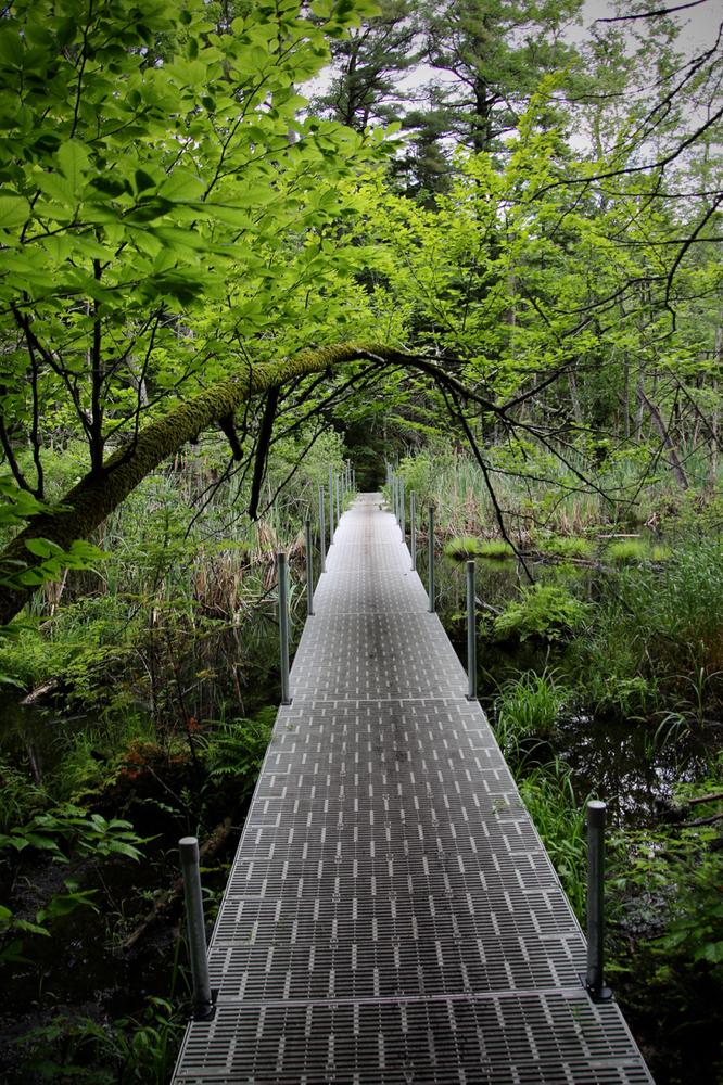
The Stonegate Trails provide an extensive network that connects with Fort Williams Park to the north and east, and with the Cape Elizabeth Land Trust's Robinson Woods trail network to the south. The trails pass through wooded areas, including streams and wetlands. There are some bridges present, and portions of trail are seasonally wet with moderate grade changes.

Other Information

This 80-acre woodland, owned by the Town of Cape Elizabeth, does not include the large field and ponds on the south side of Belfield Extension.

LMF Logo

This trail passes through a property that was acquired in part with funds from the Land for Maine’s Future program. For more information about the LMF program and the places it has helped to protect, please visit the LMF webpage.

Trail Manager

Visit the Town of Cape Elizabeth online for more information or contact:

Town of Cape Elizabeth

Town of Cape Elizabeth
PO Box 6260
Cape Elizabeth, ME 04107
Phone: (207) 799-0115
maureen.omeara@capeelizabeth.org
View website

Nearby Events

VIEW EVENTS CALENDAR

Trail Tips

Leave What You Find
Respect natural resources, cultural and historic items, and wildlife by looking rather than touching.
Legend
Hide All

Trailhead Information

FORT WILLIAMS PARK
The safest off-road location to park is at Fort Williams Park. From the intersection of ME-77 and Shore Road in Cape Elizabeth, follow Shore Road 2.2 miles. The entrance to Fort Williams will be on the right. From South Portland, follow Cottage Road which leaves Broadway and becomes Shore Road at the Cape Elizabeth Town line. From the town line it is 0.9 miles to the entrance to Fort Williams, on the left.

From the Fort Williams parking area, it is about 500 feet to the trailhead, which is located on the opposite site of Shore Road.

DYER ROAD TRAILHEAD
A quarter mile south of the entrance to Fort Williams along Shore Road, turn west onto Dyer Pond Road. The trailhead is about 390 feet down Dyer Pond Road on the right. There is some limited room to park along the road shoulder.

Click on a parking icon to get custom directions
Please Log In or Create Account to add comments.
joiegrandbois
August 04, 2014
I walked a wonderful loop in this area this past weekend. It was beautiful and peaceful. I was surprised to see so few folks on the trails. It is a treasure!
These awesome businesses support our goal of connecting people to outdoor adventures in Maine!
Hang Tight!
Nearby services are loading
No Results
No Services Found
SHARE THIS TRAIL

Add Trail Log

Please wait…
Join In on the Fun!
Log in or create an account below to unlock all the great features of Maine trail finder: keep track of trails you want to do, preserve memories of trails you’ve done, earn badges, and more!
Your log in attempt was not successful. Please try again.
    Lost your password? Reset your password
    Don't yet have an account?
    There was an issue with your submission. Please try again.
      * Indicates required field
      Already have an account? Login here
      Enter your username, and we will send you a new, randomly generated password to your email account.
      There was an issue with your submission. Please try again.

        Success! A new password has been emailed to you.

        Log in now

        Please wait…