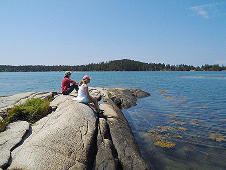
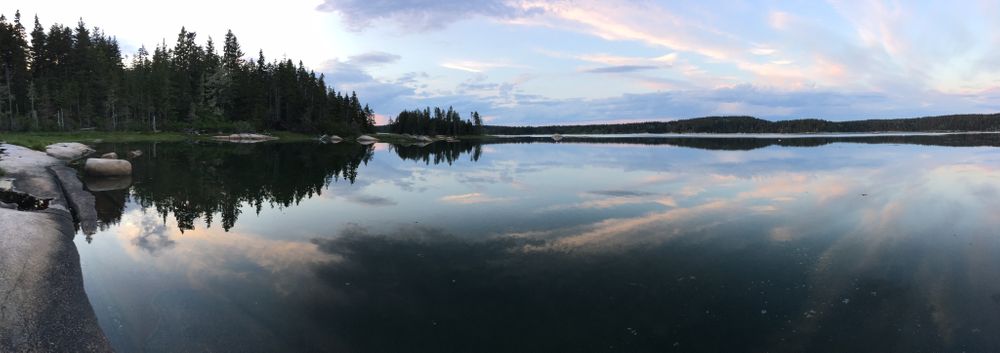
This 789-acre preserve surrounds a 360-acre tidal embayment on the west side of Vinalhaven known as the Basin and is jointly owned and managed by Maine Coast Heritage Trust and Vinalhaven Land Trust. The existing Basin Preserve includes 64% of the bay’s roughly 7 miles of shoreline and conservation easements protect most of what remains.
Visitors are welcome to enjoy this special place throughout the year. Moderate hiking trails leave from four separate trailheads. The paths carve through evergreen forest, most offering scenic vistas near the shore. The preserve can also be experienced from the water. Launch your small boat or kayak near the Granite Island Bridge. Please view wildlife from a distance, especially the harbor seals that frequent the area.
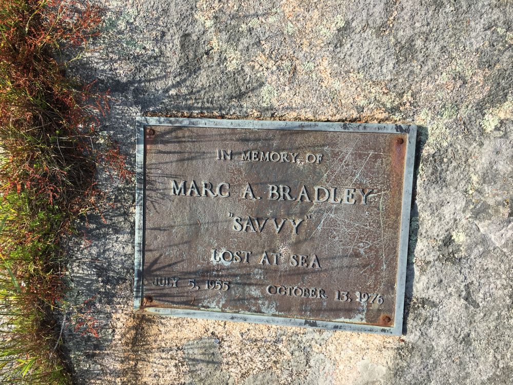
A culmination of more than twenty years of land conservation work, the first portion of the Basin Preserve was established in 1990 and the most recent addition occurred in 2009. This preserve would not exist without the generous support of conservation-minded landowners surrounding the Basin, most of whom donated their land or conservation easements. A portion of the Basin Preserve was also conserved with support from the state's Land for Maine's Future program.
Preserve Information and Guidelines:

This trail passes through a property that was acquired in part with funds from the Land for Maine’s Future program. For more information about the LMF program and the places it has helped to protect, please visit the LMF webpage.
For more information and a printable preserve map, please visit Maine Coast Heritage Trust's website or Vinalhaven Land Trust's website.


The Basin Preserve has four trailheads.
The state-run Vinalhaven Ferry has limited space for vehicles. Reservations should be made in advance, especially during summer months. Another option is to tour the island with a bicycle. The Wharf Quarry trailhead is 4 miles from the ferry terminal and the first Granite Island trailhead can be reached in a little more than 2 miles.
Success! A new password has been emailed to you.