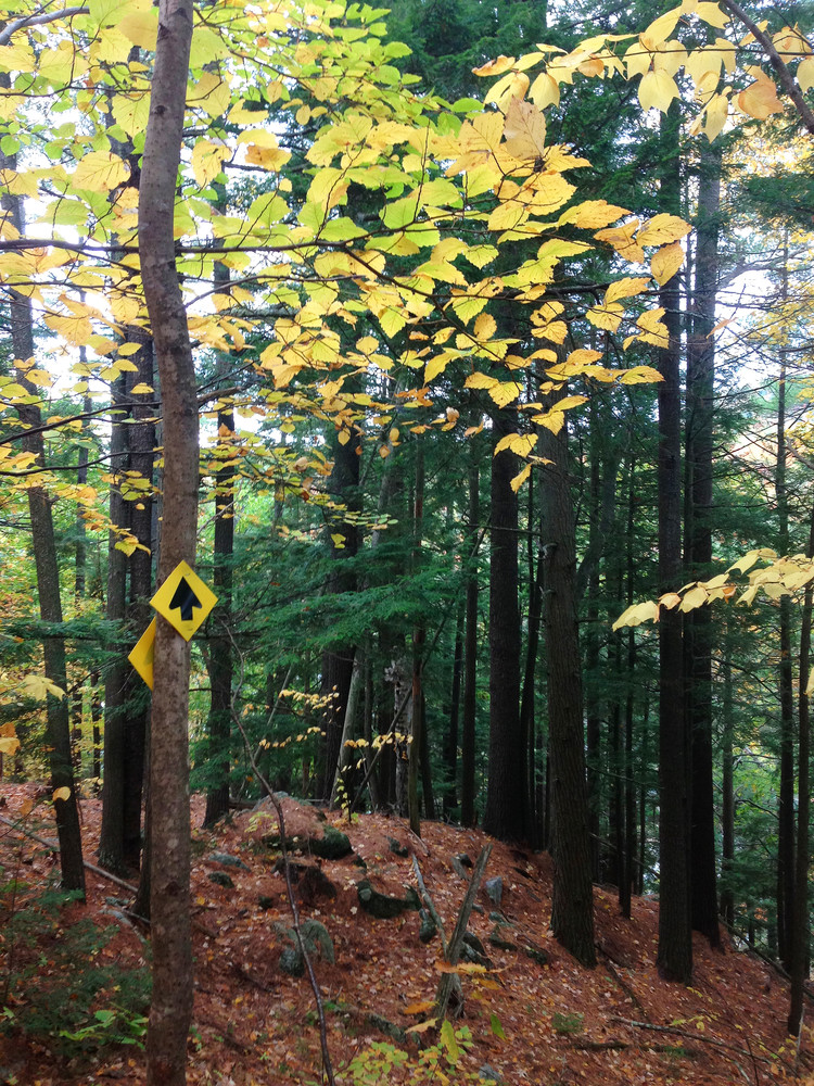
The Lowell Trail is currently a 1.7 mile loop, built exclusively with low-impact techniques and hand tools. New trails are under construction for 2017. Yellow plastic arrows mark the trail.
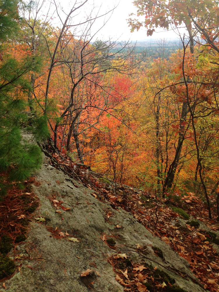
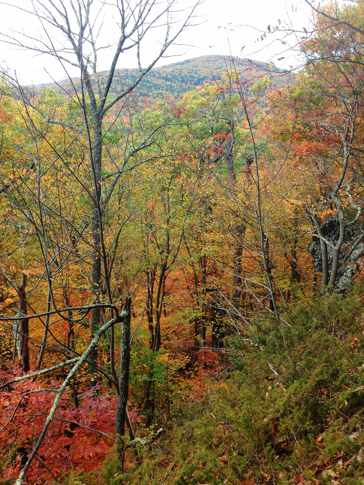
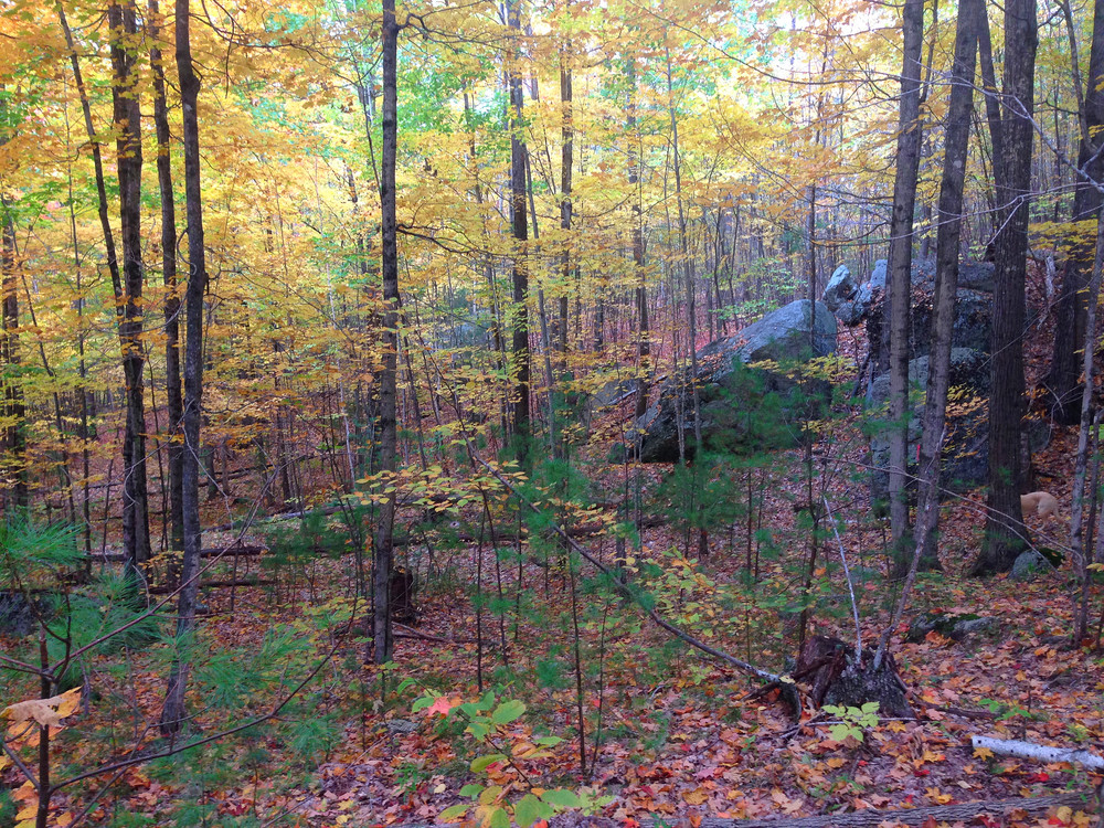
From the trailhead, the Lowell Trail travels north along a wide logging road for a short ways before departing this lane onto a narrow singletrack. Less than a quarter mile in, the trail turns south at a future junction with a trail under construction and begins to traverse the shoulder of North Hill, climbing singletrack switchbacks and winding through a mixed forest of pine, fir and deciduous trees. In the late fall, several promontories and glacial erratics along the lower trail offer views out through the bare trees.
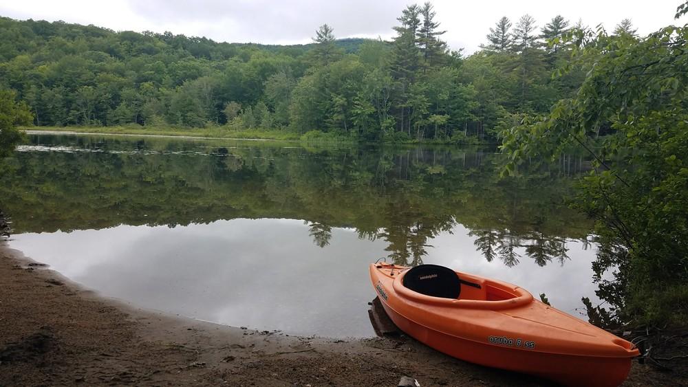
0.4 miles from the trailhead, the trail splits with both forks looping over the summit of North Hill and returning to this junction. Once at the summit, the tree cover thins as the forest gives way to stunted evergreens and exposed granite ledges. These ledges offer peaceful views over much of South Pond and the Virgil Parris Forest.
The Lowell Trail is the second trail built in the Virgil Parris Forest, a property owned and managed by the Western Foothills Land Trust. The road accessing the Forest is a historic railroad bed. Motorized access to the preserve along this road is welcomed, but motorized users should be respectful of the important environmental status of the preserved land and the enjoyment of other users. All trash must be carried out and fires are not permitted.
For more information about the Virgil Parris Forest, Western Foothills Land Trust offers an informative history of the preserve here.

This trail passes through a property that was acquired in part with funds from the Land for Maine’s Future program. For more information about the LMF program and the places it has helped to protect, please visit the LMF webpage.
For more information please contact Western Foothills Land Trust.

[This trail is accessed via a route shared with ATV and snowmobile users. Please drive safely and respectfully.]
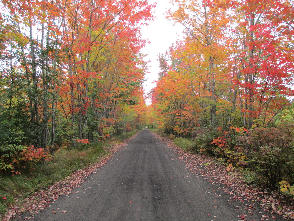
South Paris: Head east on ME-117 towards Buckfield. Travel approximately 9.5 miles on ME-117 and then turn right onto John Ellingwood Road just after the speed limit decreases to 25 mph before entering Buckfield center. Look for the town of Buckfield Highway Department garages set back from the road on the right; John Ellingwood Road passes directly through this lot. Once on John Ellingwood Road, immediately bear right onto a narrow dirt road running parallel to the paved road and continue due south for just over 1.5 miles. Parking for the Virgil Parris Preserve is in a small dirt lot on the right where the road approaches the north end of South Pond. The trailhead is on the left of the dirt road 250 feet further south.
Buckfield: Head west on ME-117 towards South Paris. 0.1 miles past the junction with Loring Hill Road in Buckfield center, turn left onto John Ellingwood Road. Look for the town of Buckfield Highway Department garages set back from the road on the left; John Ellingwood Road passes directly through this lot. Once on John Ellingwood Road, immediately bear right onto a narrow dirt road running parallel to the paved road and continue due south for just over 1.5 miles. Parking for the Virgil Parris Preserve is in a small dirt lot on the right where the road approaches the north end of South Pond. The trailhead is on the left of the dirt road 250 feet further south.
Success! A new password has been emailed to you.