The Webhannet Marsh Trail crosses land that was salt marsh before being filled with material dredged from Wells Harbor.
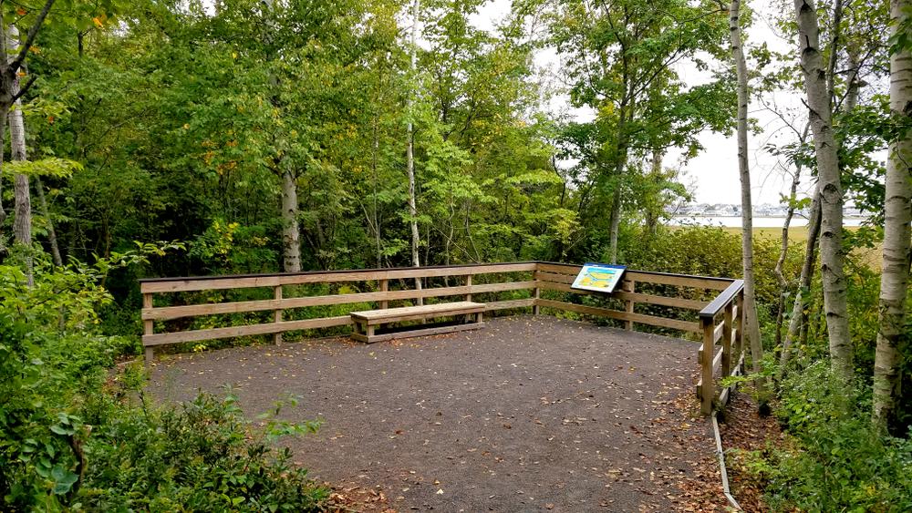
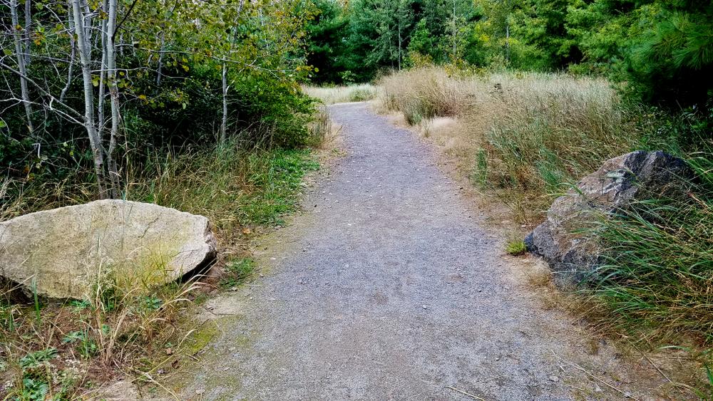
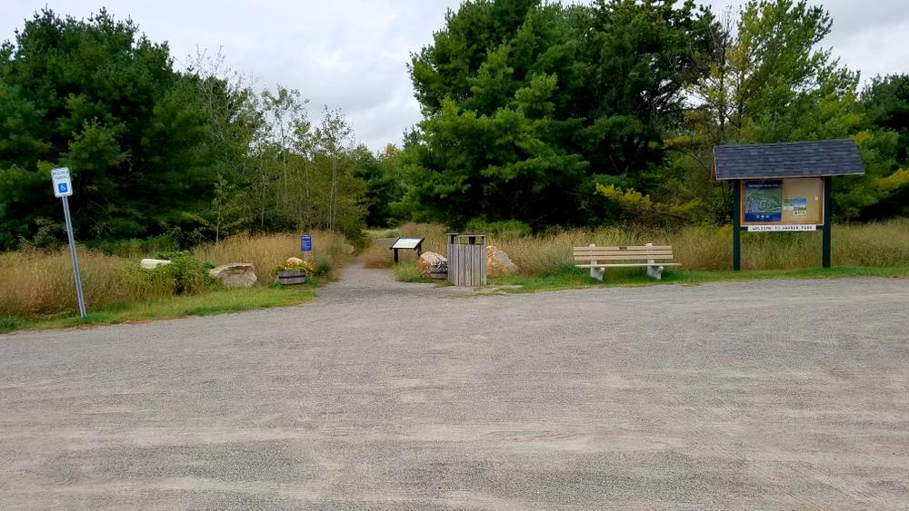
The trail consists of two paths, one (to the left at the trail junction) which leads to an overlook of the estuary. The landscape includes grass, shrub, and wooded areas along the edge of the Webhannet River salt marsh. Interpretive signs along the trail explain salt marsh ecology and historical changes at the site.
The trail is 6 feet wide, with a crushed gravel surface. It is of minimal grades, 1:12 or better, and does not include any steps or ramps,
The trail is adjacent to Wells Harbor, where the Wells Reserve maintains weather and water monitoring stations. An additional interpretive sign describing the equipment is situated there. It is also adjacent to other accessable waterfront features, including the public dock at Wells Harbor.
Surrounded by part of the Rachel Carson National Wildlife Refuge and lands associated with the Wells National Estuarine Research Reserve, this is an excellent place for birding. Birds along the Webhannet Marsh Trail are primarily songbirds typical of the area, with some shorebirds, waders, ducks, and geese visible from the overlook or flying over. Yellow-rumped warblers congregate here during fall and can be found through some winters.
RESERVE GUIDELINES
For additional information, visit the Wells Reserve at Laudholm website, or contact:

“Go” Before You Go: Use available restrooms before your adventure. And, if there’s no restroom, dig a 6-8 inch hole and bury waste at least 100 feet from trails and water.
From US-1 in Wells, take Harbor Road east. Go 0.8 miles on Harbor Road and take a right, just before the Webhannet River Boat Yard. Drive to the far end of the loop to the trailhead, by which there is plenty of room to park.
Success! A new password has been emailed to you.