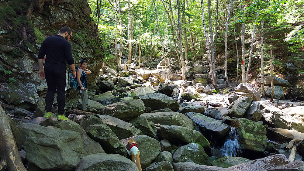
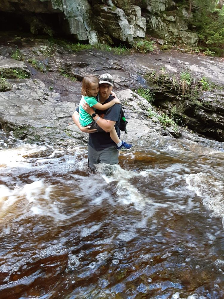
A easy to moderate 1.1 mile-round trip hike with an elevation gain of 200 feet. *Caution: Although this is a relatively easy trail, several stream crossings (rock hopping) may pose a challenge for some, and the streams may be impassable during high water.
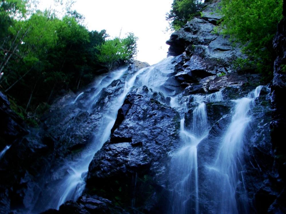
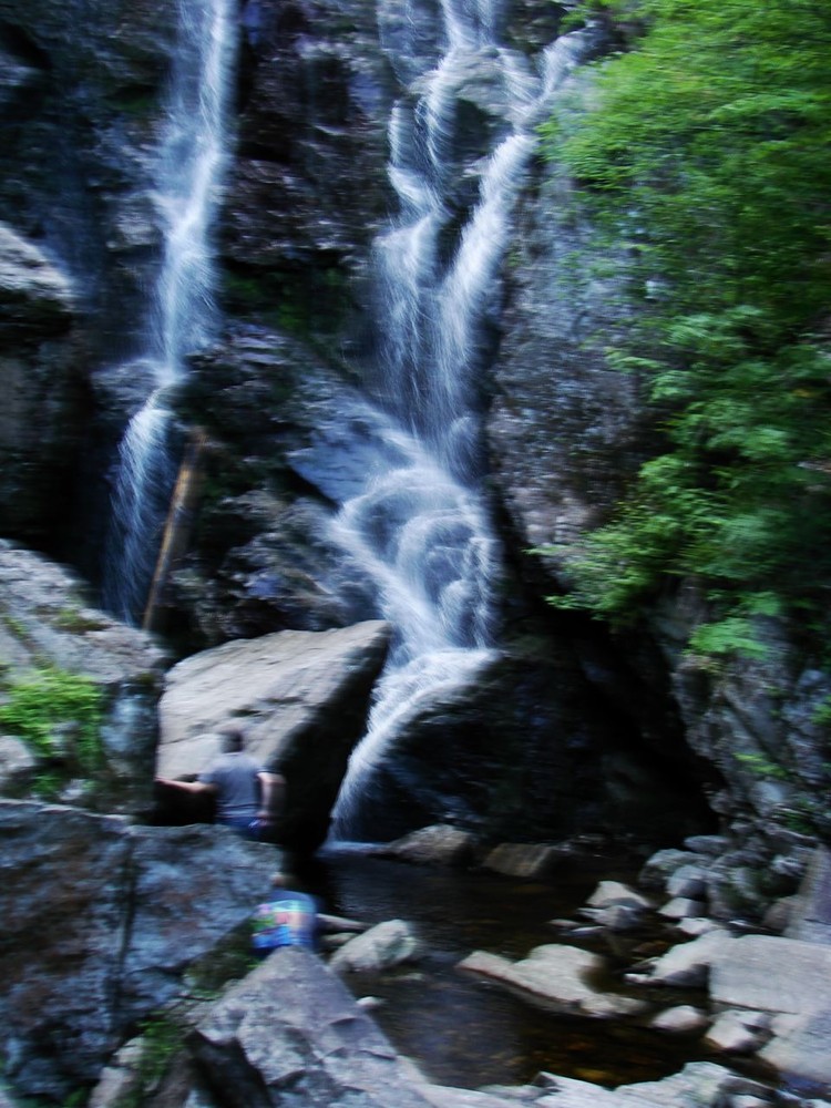
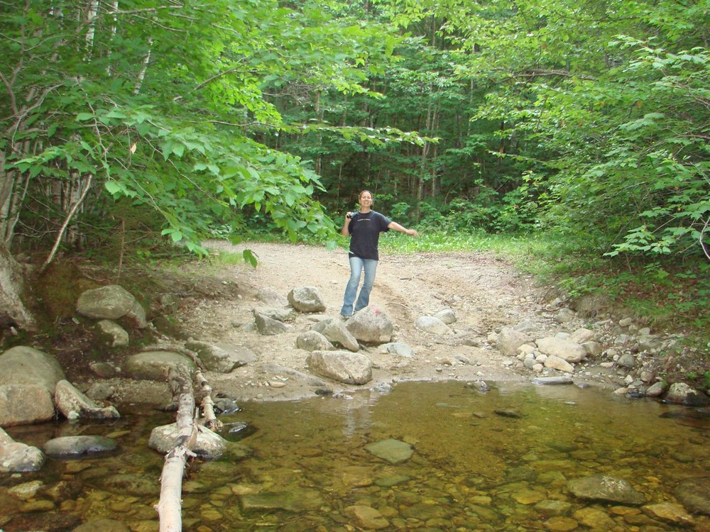
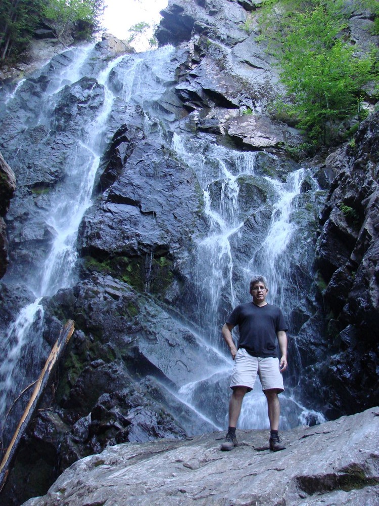
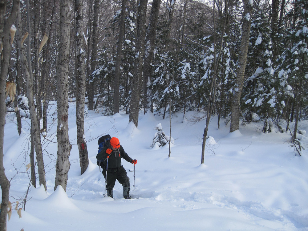
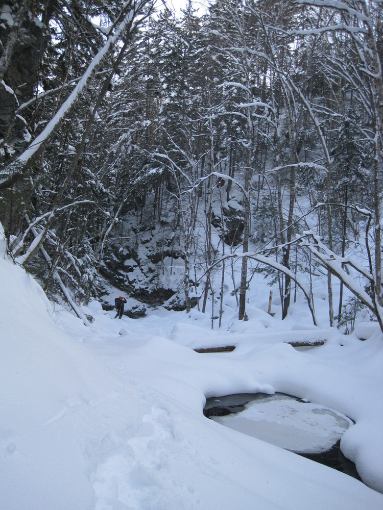
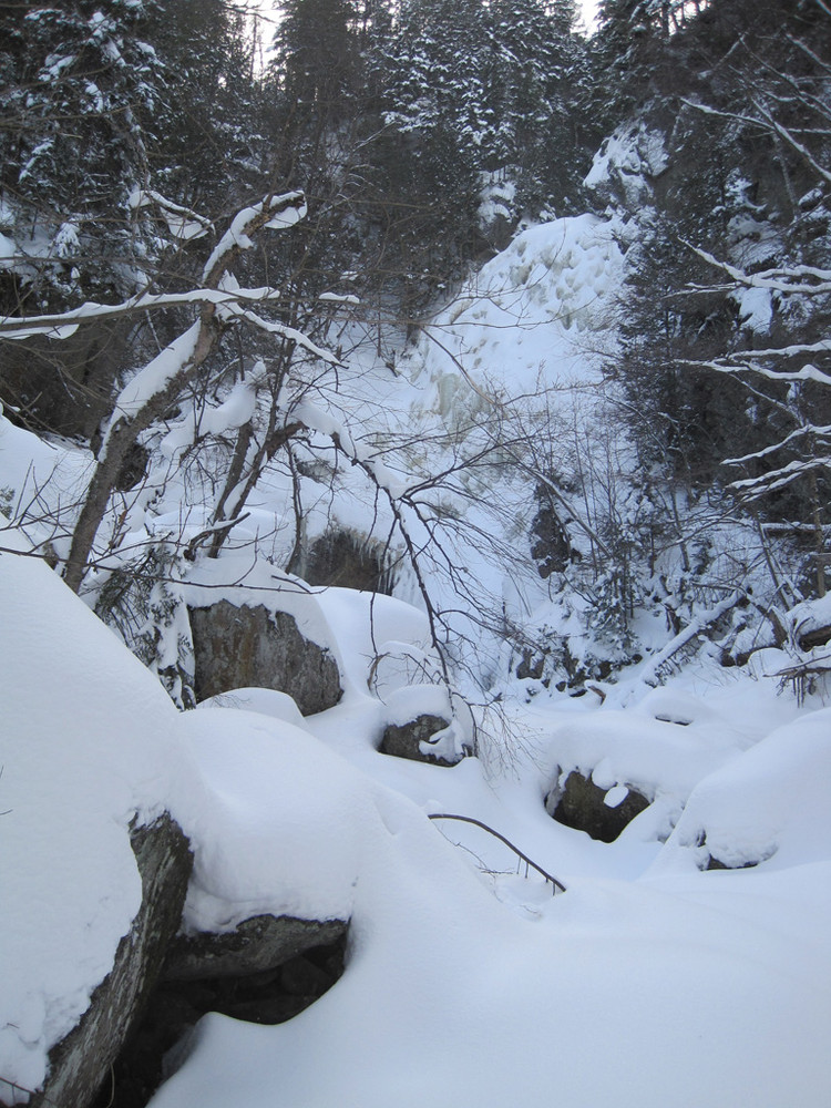
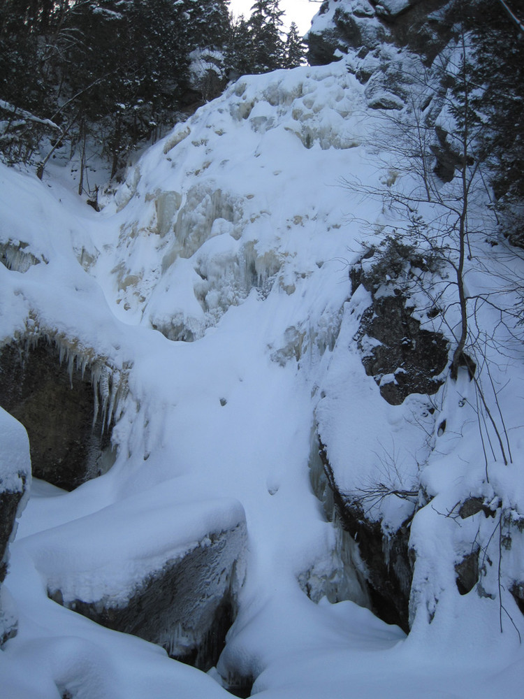
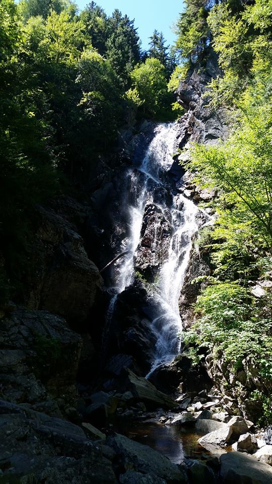
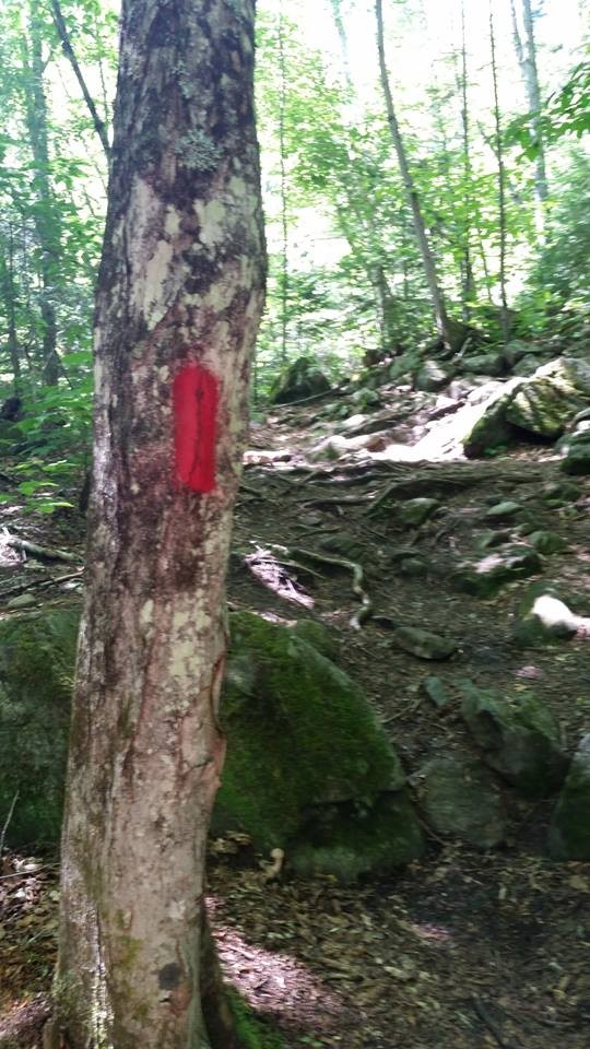
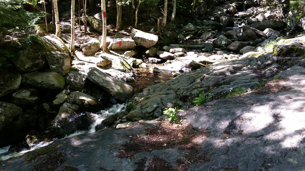
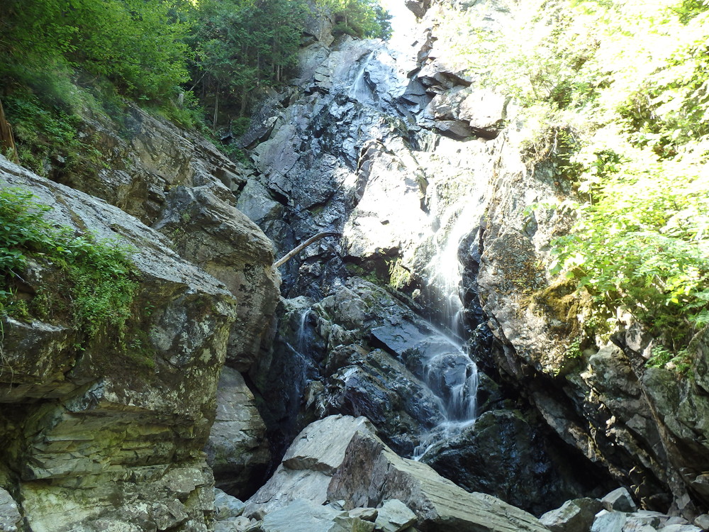
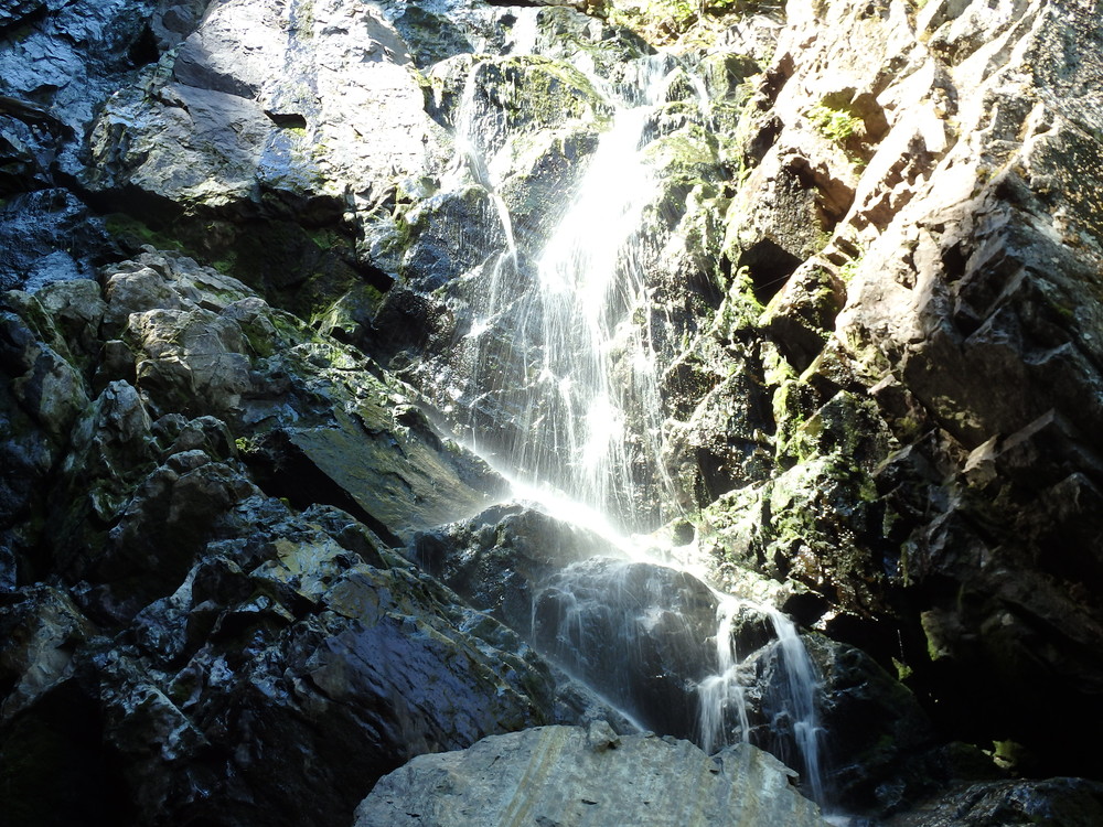
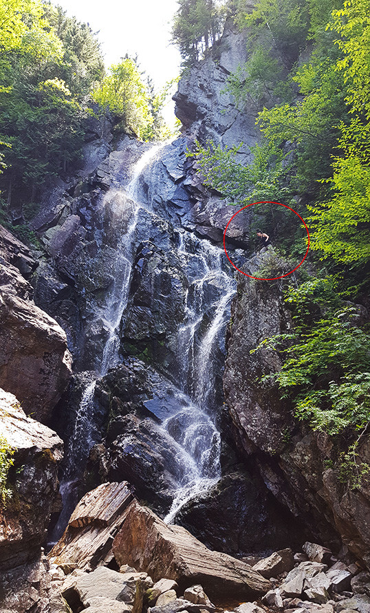
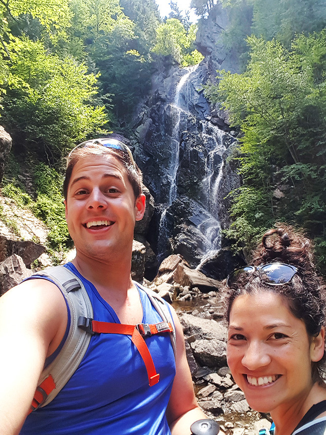
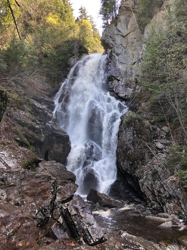
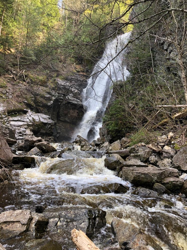
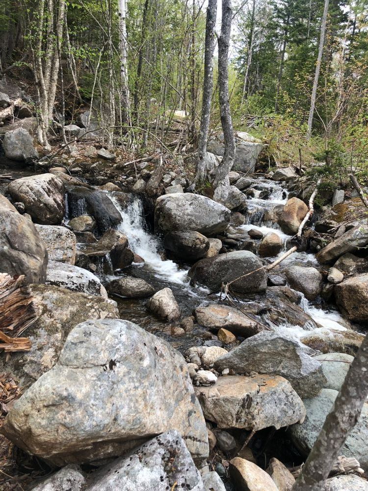
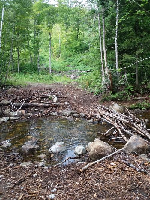
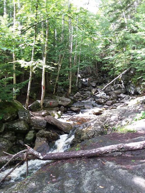
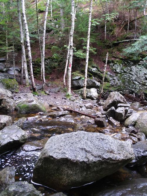
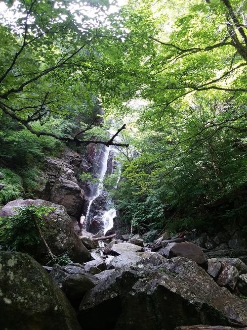
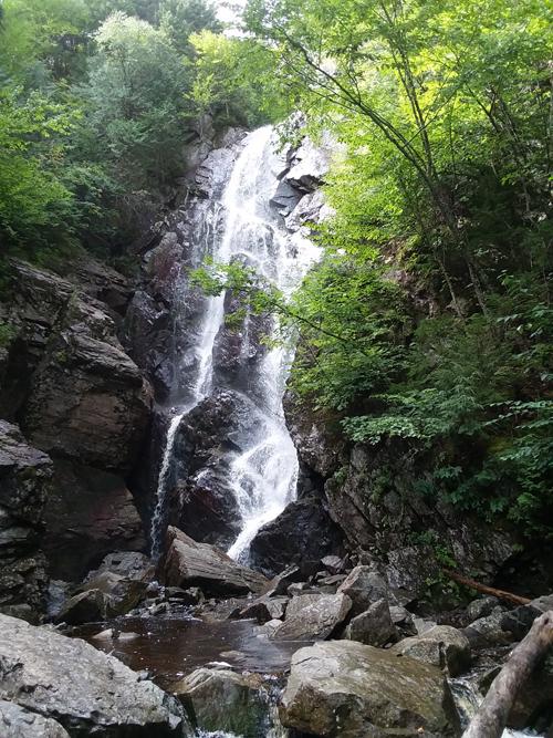
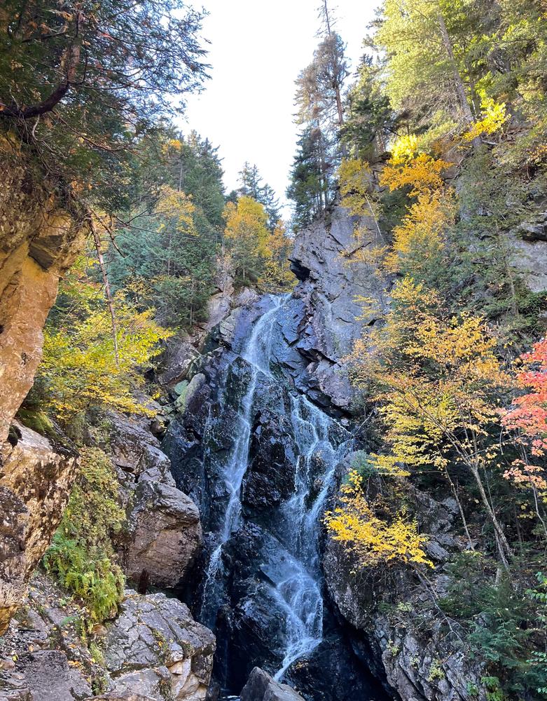
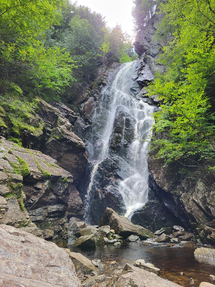
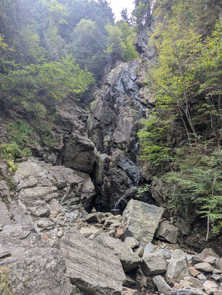
From the parking area, look for red blazes, and follow a logging path across Berdeen Stream, and continue following the trail (red blazed) to Mountain Brook. The trail follows the brook up stream and crosses (rock hops) the brook three times before you come to the falls. Use caution as stream crossings can be slippery and can even be dangerous or impassable during high water. Angel Falls, with a 90 foot plunge, in one of the most impressive waterfalls in Maine. Angel Falls has a 90-foot “hanging” plunge and is comparable in height with Moxie Falls in Forks Township. In high water, the cascading water creates the shape of an angel’s wing giving the falls its name.
Although this is a relatively easy trail, several stream crossings may pose a challenge for those who are less sure on their feet, and the streams may be impassable during periods of high water.
 Natural Heritage Hikes is a project of the Maine Natural Areas Program in partnership with Maine Trail Finder. View the "Angel Falls Trail" guide online here.
Trail maintained by T.R.A.C. volunteers. For more information please contact:
T.R.A.C. (Trails for Rangeley Area Coalition)From the North:
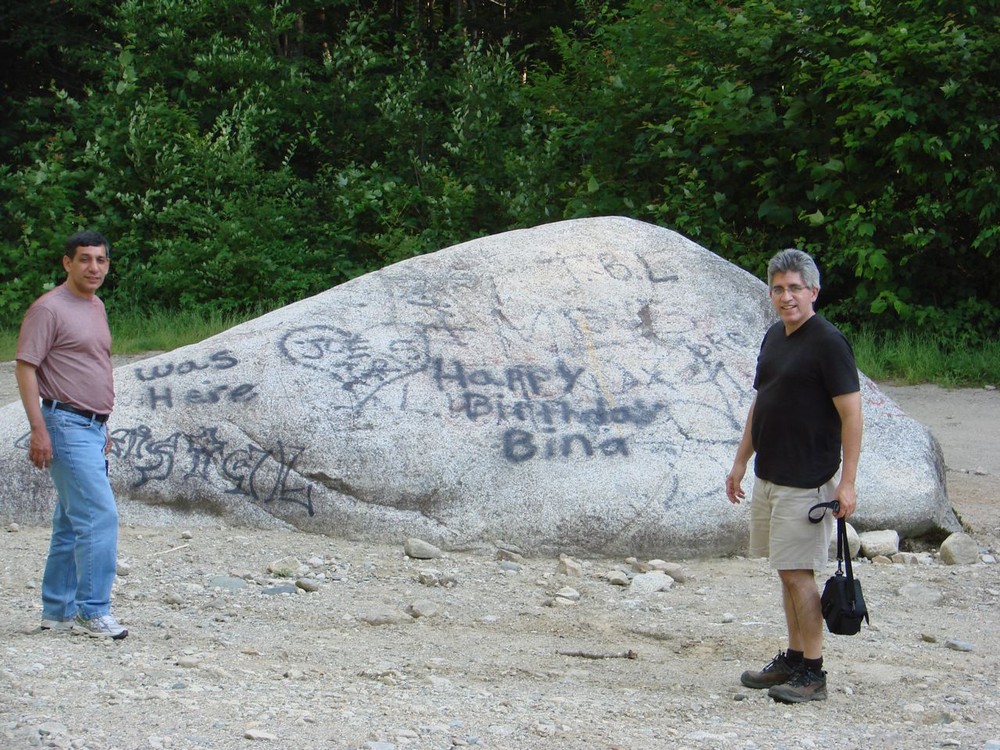
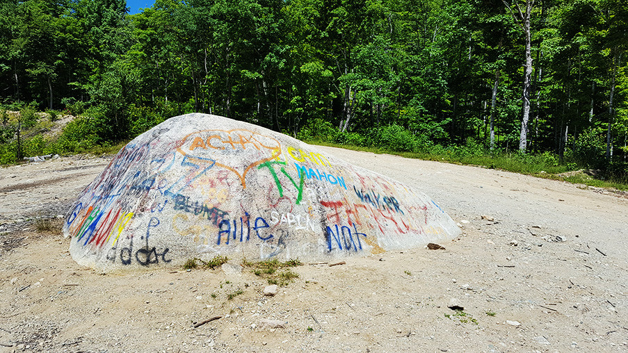
Option 1: From Oquossoc, take ME-17 south for about 18.5 miles to Houghton. Turn right onto an unnamed gravel road (adjacent to a large open field). Immediately cross a bridge over the Swift River, then turn right onto Bemis Road and drive north for about 3.5 miles. This is a gravel road that can be rough, use caution. Look for a road on the left going downhill (44.7902, -70.7079) and follow it into an old gravel pit (large boulder with graffiti), and park.
Option 2 (via the back roads): From Oquossoc, take ME-17 south for 3.7 miles. Turn right on to Herbie Welch Road (across from South Shore Drive). Go almost a mile to a four-way intersection. Turn left onto Bemis Road. Drive about 11 miles south on Bemis Road. This is a gravel road that can have rough spots, use caution. Look for a road going sharply right and downhill (44.7902, -70.7079) and follow it into an old gravel pit (large boulder with graffiti), and park.
From the South:
From the intersection of US-2 & and ME-17 in Mexico/Rumford, take ME-17 north for about 18 miles to Houghton. Turn left onto an unnamed gravel road (adjacent to a large open field). Immediately cross a bridge over the Swift River, then turn right onto Bemis Road and drive north for about 3.5 miles. This is a gravel road that can be rough, use caution. Look for a road on the left going downhill (44.7902, -70.7079) and follow it into an old gravel pit (large boulder with graffiti), and park.
Safety Note on Roads: Houghton and Bemis Roads are logging roads. Logging roads may require four-wheel drive and may not be appropriate for small cars or cars with low clearances. Logging vehicles always have the right of way.
Success! A new password has been emailed to you.