Aroostook National Wildlife Refuge - West Gate Trails

This is the print view for this trail. View the full trail posting.

This network has more than 5 miles of trails around Chapman Pond and Greenlaw Brook. Trails are well maintained and provide excellent views of wildlife. Trails provide hiking, running, snowshoeing & skiing opportunities.
Trail Activity
Snowshoeing Cross-country-skiing Walking
Length
5.00 miles, Network
Difficulty
Easy
Towns
Caribou, Limestone
Surface
Dirt/Forest Floor, Gravel/Crushed Stone, Grass, Snow - Groomed
Pets
Permitted
Fees
No

Description

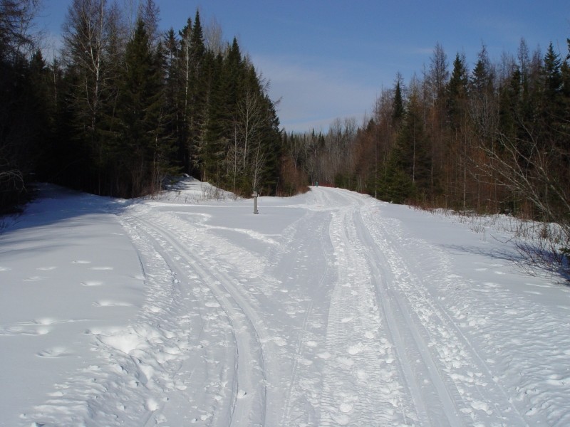
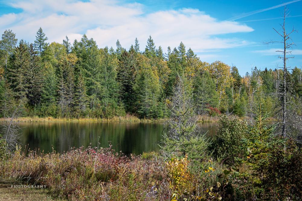
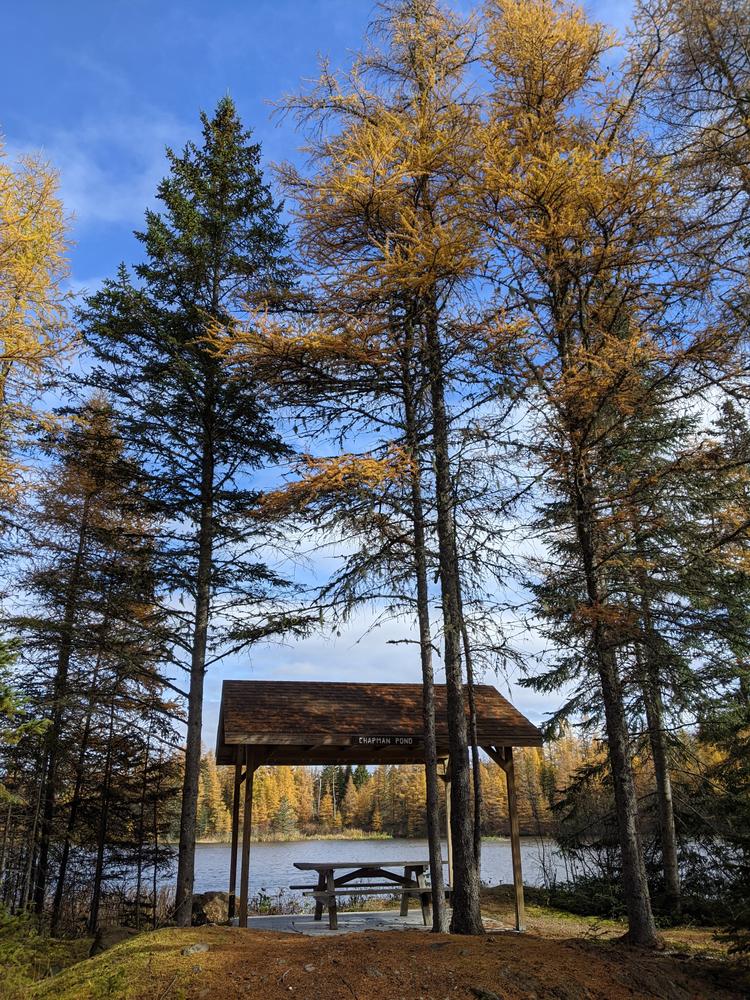
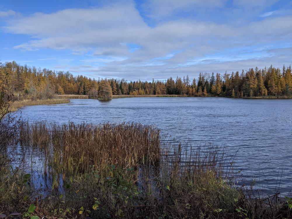
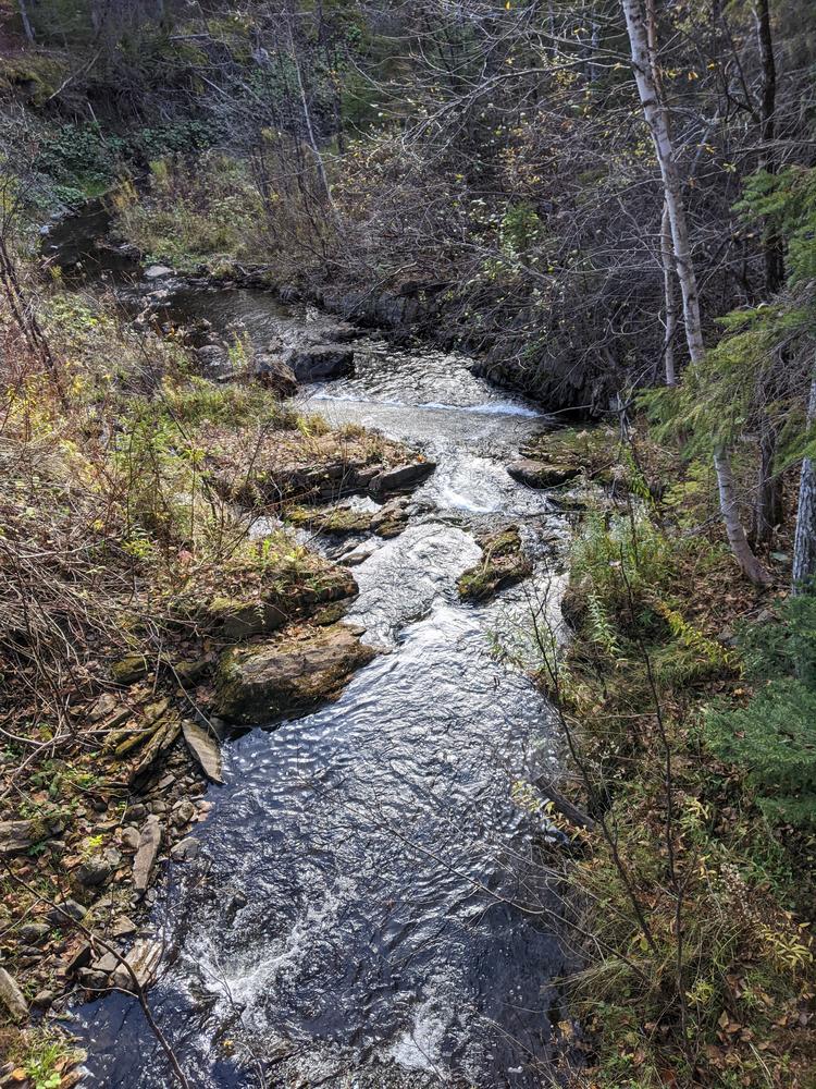
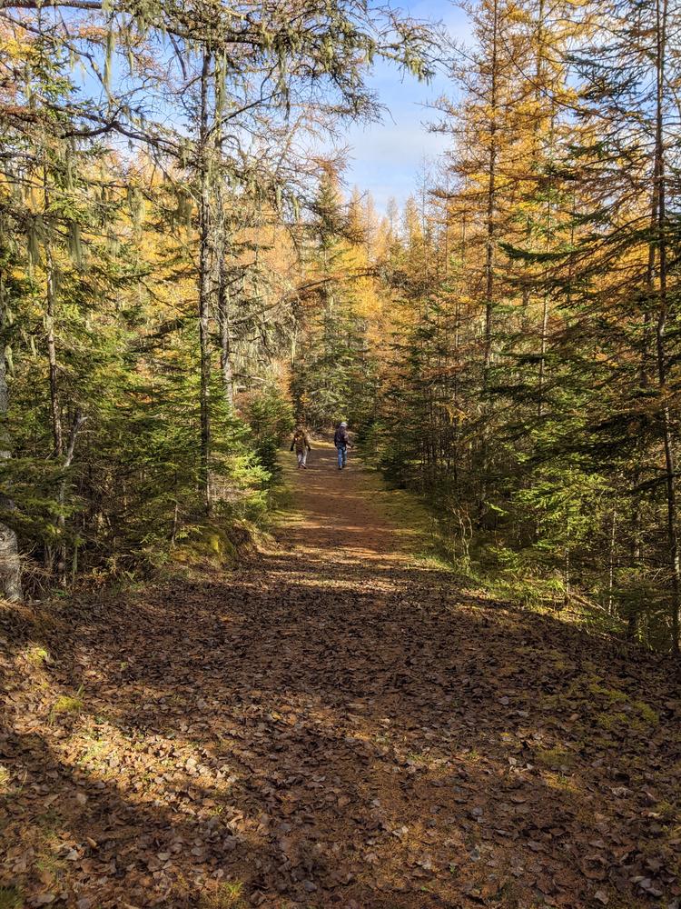
This section of the refuge provides a network of trails for outdoor enthusiasts and an opportunity to explore the refuge's rich diversity of habitats around Chapman Pond and Greenlaw Brook. The trails are generally flat with some following old gravel roads.

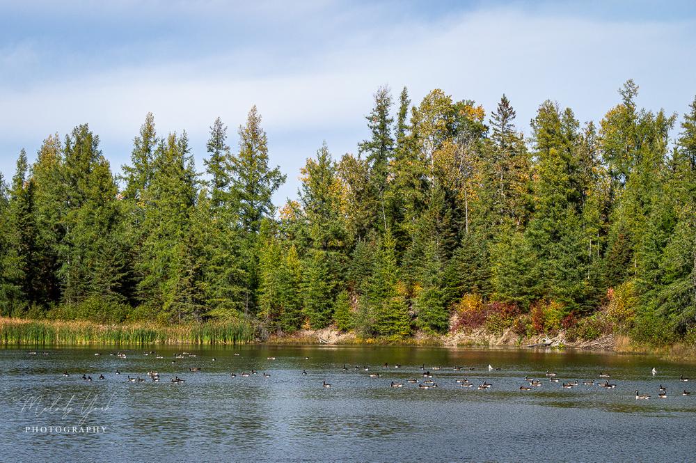
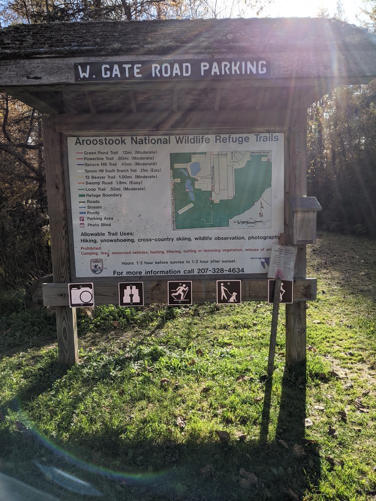
All three trailheads have kiosks with maps of the trails. With over five miles of skiing, snowshoeing and hiking trails. The refuge offers excellent opportunities for viewing moose, bear, deer, beaver, waterfowl, and many species of migratory birds. The Aroostook National Wildlife Refuge is open to the public from sunrise to sunset, seven days a week.

Other Information

Motorized vehicles, camping, campfires, horse-back riding, mountain biking, hunting, trapping and fishing are all prohibited on the refuge.

Dogs are permitted on the refuge but must remain on the leash at all times.

Trail Manager

Visit Aroostook National Wildlife Refuge online for more information or contact:

Aroostook and Moosehorn National Wildlife Refuge
103 Headquarters Road
Baring, ME 04694
Phone: (207) 454-7161
View website

Nearby Events

VIEW EVENTS CALENDAR

Trail Tips

Dispose of Waste Properly
Pack it in, pack it out. This goes for trash, leftover food, toilet paper, and hygiene products. If you brought it into nature, please bring it out.

Trailhead Information

Aroostook NWR's Chapman Pond trail head is located off of ME Route 89 between Caribou and Limestone. From ME Route 89 take the Sawyer Road (West gate entrance). The trailhead is on the right hand side of the road (look for the large brown wildlife refuge sign). A kiosk at the trail head provides a map of the refuge trails.

Legend
Hide All
Join In on the Fun!
Log in or create an account below to unlock all the great features of Maine trail finder: keep track of trails you want to do, preserve memories of trails you’ve done, earn badges, and more!
Your log in attempt was not successful. Please try again.
    Lost your password? Reset your password
    Don't yet have an account?
    There was an issue with your submission. Please try again.
      * Indicates required field
      Already have an account? Login here
      Enter your username, and we will send you a new, randomly generated password to your email account.
      There was an issue with your submission. Please try again.

        Success! A new password has been emailed to you.

        Log in now

        Please wait…