Aroostook Valley Trail

This is the print view for this trail. View the full trail posting.

Miles of transformed railroad bed provide fantastic recreation path along the banks of the Aroostook River through the heartland of potato country.
Trail Activity
Walking Snowshoeing Mountain-biking Cross-country-skiing
Length
28.00 miles, One Way
Difficulty
Easy, Moderate
Towns
Caribou, Mapleton, New Sweden, Presque Isle, Washburn, Woodland
Surface
Gravel/Crushed Stone, Snow - Groomed
Pets
Permitted
Fees
No
Other Activities
ATV Riding Snowmobiling Equestrian

Description

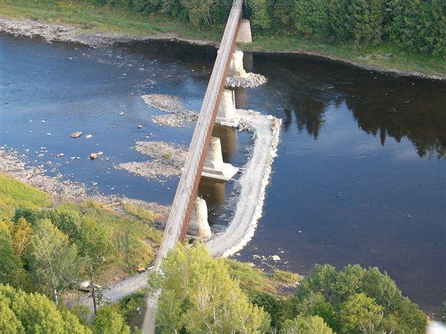
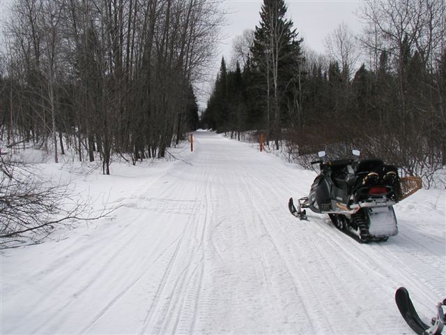
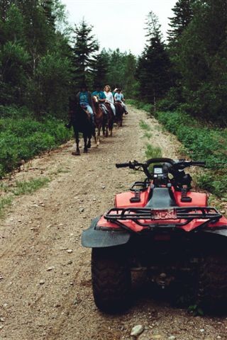
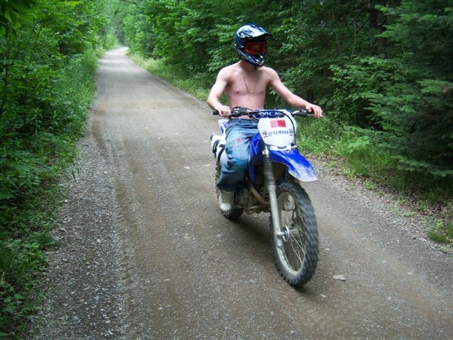
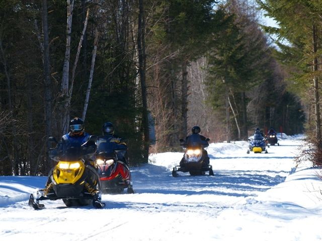
The Aroostook Valley Trail is a 28-mile trail that connects the towns of Presque Isle, Caribou, Washburn, Woodland, and New Sweden. Riders will find a gravel surface trail that is open to multiple use, year round. Scenery varies from open fields to deep woods, and meanders along many streams and the Aroostook River.

Most of this trail is very remote and riders should be prepared for a backcountry experience. Enjoy the trail and please remember it is multi-use; motorized users must yield to non-motorized users and are asked to demonstrate courtesy and ethics to all trail users as well as abutting landowners.

Other Information

LMF Logo

This trail passes through a property that was acquired in part with funds from the Land for Maine’s Future program. For more information about the LMF program and the places it has helped to protect, please visit the LMF webpage.

Trail Manager

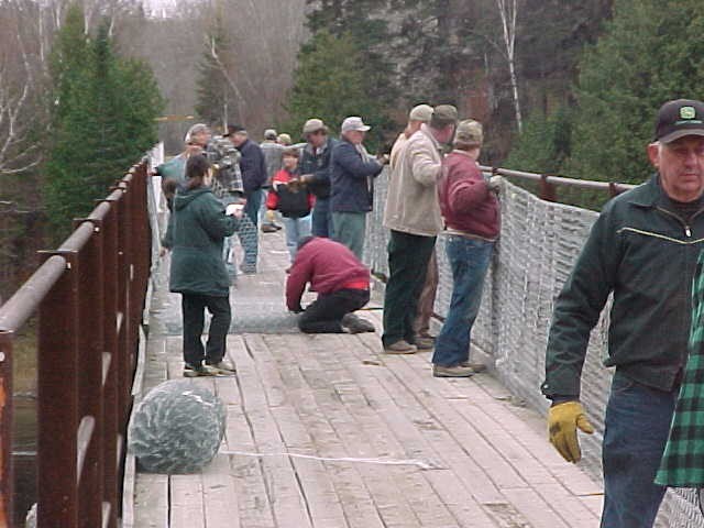
The Aroostook Valley Trail is maintained by the Off-road Vehicle Division of the Maine Bureau of Parks and Lands. For more information, please contact:

Maine Bureau of Parks and Lands, Off-road Vehicle Division
22 SHS
Augusta, ME 04333
Phone: (207) 287-4957

Nearby Events

VIEW EVENTS CALENDAR

Trail Tips

Dispose of Waste Properly
Keep Maine green and clean! Pick up trash, even if it's not yours. Leave soon-to-be trash like excess packaging, stickers, and twist ties at home.

Trailhead Information

  • In Presque Isle, there is a parking lot located off of ME-1/Main Street just south of the bridge over the Aroostook River.
  • In the town of Washburn, parking is available at the Washburn Clubhouse located off Route 164.
  • There are several other trail access points with parking. Use the map to find specific directions.
Legend
Hide All
Join In on the Fun!
Log in or create an account below to unlock all the great features of Maine trail finder: keep track of trails you want to do, preserve memories of trails you’ve done, earn badges, and more!
Your log in attempt was not successful. Please try again.
    Lost your password? Reset your password
    Don't yet have an account?
    There was an issue with your submission. Please try again.
      * Indicates required field
      Already have an account? Login here
      Enter your username, and we will send you a new, randomly generated password to your email account.
      There was an issue with your submission. Please try again.

        Success! A new password has been emailed to you.

        Log in now

        Please wait…