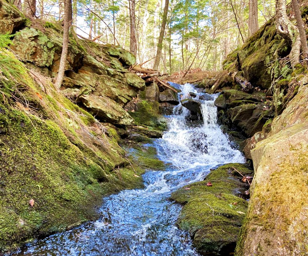
The 3.2-mile Parks Bennett Trail, named for the previous landowners, explores the 432-acre Bethel Community Forest-West. The Red Pine Ridge Trail is a 0.5 mile side loop, traversing through red pine stands ending at a lovely view point, Ellingwood Ledges. These trails take hikers through a variety of landscapes-- diverse forests, along a mountain brook, and to three high points with views in several directions. The trails serve as a preview of the Bethel Community Forest-West so be aware it includes some rough, uneven footing, and there are no blazes on trees to mark the way. The trail is well marked with blue flagging tape, and signs alert hikers at intersections and highlights of features along the trails.
Parks-Bennett Trail
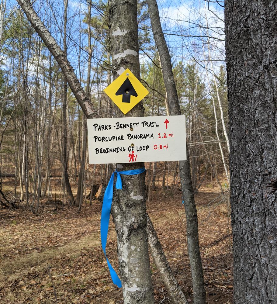
The Parks-Bennett Trail begins on the right side of the parking lot at 753 North Road. It heads north along an old woods road for a short stretch before entering the woods and crossing a stream. The trail then switchbacks onto a ridge overlooking the stream. It gradually gains elevations as it goes through a coniferous forest above the stream for 0.6 miles to a junction with the Red Pine Ridge Trail. The description for the Red Pine Ridge Trail can be found below. After another 0.2 miles the Parks-Bennett Trail arrives to the junction of the loop portion of the trail.
Hikers are encouraged to take in the Parks Bennett loop in a counter-clockwise direction but either direction is suitable. Traveling counter-clockwise, the trail passes a series of small cascades, and switchbacks up the hillside. After 0.2 miles, the loop meets the upper junction of the Red Pine Ridge Trail. From this junction it is 0.2 miles to the Ellingwood Ledges view point, the high point of the Red Pine Ridge Trail.
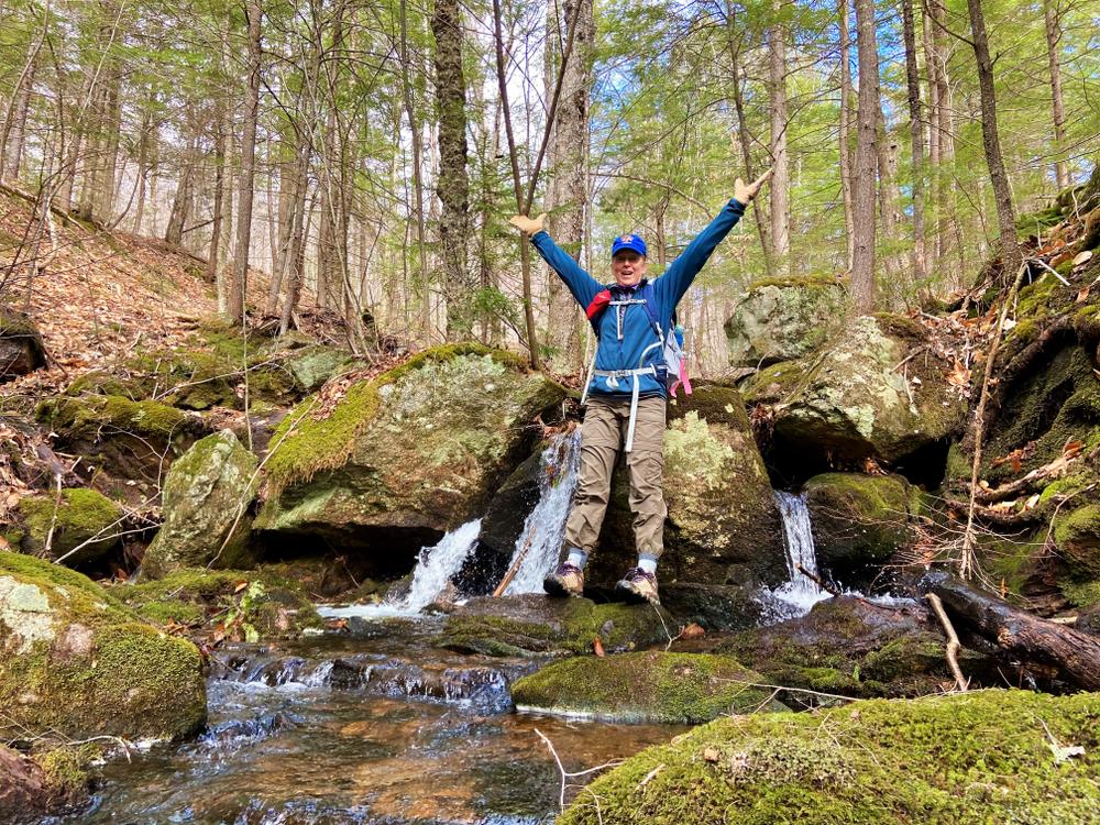
Continuing past this junction, the loop follows the stream for a short stretch before crossing it just above a cascade. The forest then changes to hardwoods and climbs modestly to an intersection of two old woods roads. The trail continues up a modest pitch following a logging road to emerge at a panoramic viewpoint, Porcupine Panorama.
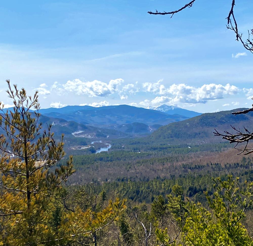
After heading south and west across the viewpoint, the trail descends through a mature evergreen forest and passes tightly below a rock outcropping. The trail then skirts a swamp, continues through the forest, and then ascends to The Prow, a stunning westward vista with views of the Presidential range and Androscoggin Valley. The trail winds below the ledge before contouring back across the forest through a mix of forest stand types. It then crosses a stream back to the origin of the Parks-Bennett Loop. The loop is 1.2 miles and 0.8 miles from the parking lot.
Red Pine Ridge Trail
The Red Pine Ridge Trail is 0.5 miles beginning and ending at different points on the Parks-Bennett Trail. It offers an alternate route up the eastern slope of the property. After leaving the Parks-Bennett Trail 0.6 miles from the parking lot, it travels along an old woods road at a gentle grade for 0.15 miles. It then turns right to begin switchbacking up the hill side through red pine stands. After 0.25 miles, the trail crosses semi-exposed ledges with limited south western views. The trail then steadily climbs through blueberry bushes to the Ellingwood Ledges view point. The ledges offer a unique view into the Maine portion of the White Mountain National Forest and beyond. The trail then descends gently for 0.2 miles to the upper junction with the Parks-Bennett Trail.
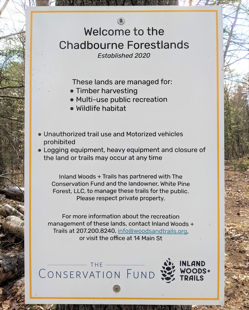
The Conservation Fund purchased the Parks Bennett tract in 2020 as part of its broader purchase of over 15,000 acres of Chadbourne Tree Farms land. The Fund purchased the tract with the intent of selling it to Inland Woods + Trails as an addition to its Bethel Community Forest holdings. In this interim time Inland Woods + Trails has permission to construct and maintain this hiking trail.
For more information about the Bethel Community Forest and how to help with the campaign to purchase the land, please email Gabe Perkins or call (207) 217-7262.
For a safe and enjoyable hike, please be prepared. For more information on how to get ready for your hike and what to bring, visit Hike Safe. Inland Woods + Trails is also happy to answer your questions about this trail network.
For additional information, visit the Inland Woods & Trails website, or contact:
Inland Woods + TrailsThe trailhead is located on the North Road, 3.5 miles west of the ME-2 bridge crossing in Bethel. There is a sign on the side of the road denoting the trailhead, with a large parking lot located just past the Ellingwood Mountain Road on the right side of the road.
The GPS address for Bethel Community Forest- West is 753 North Road in Bethel.
Success! A new password has been emailed to you.