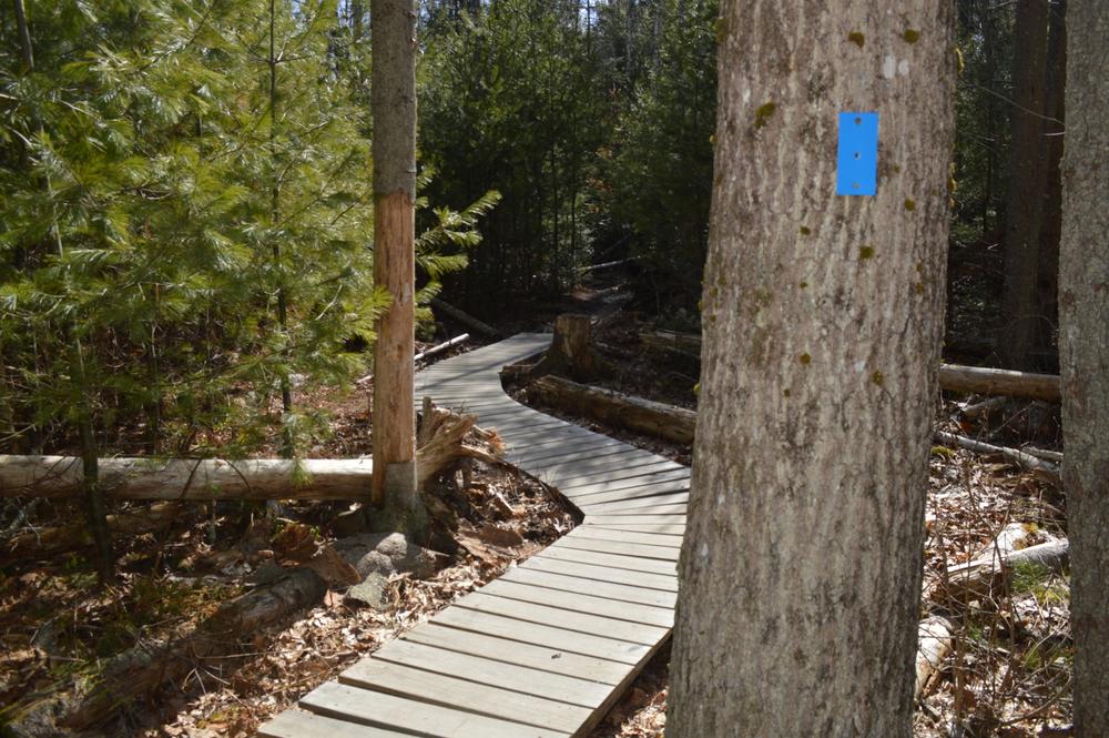
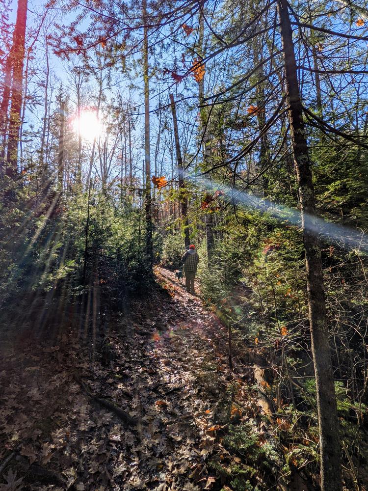
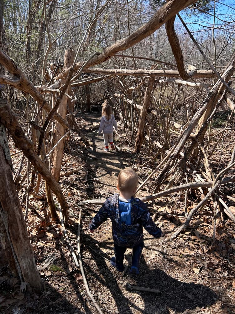
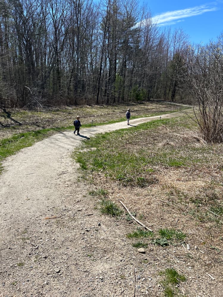
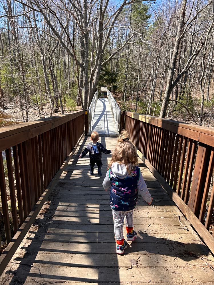
In the late 1990s, the late Steve Emmons cut some trails into his woods, enjoyed exploring the area, and donated the land to KCT that soon became the site of the Trust Headquarters. The original path became Jeremy’s Trail, named in memory of fifteen year old Jeremy Walker Georgitis. Today there are 3.3 miles of various trails and loops to explore.
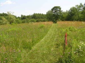
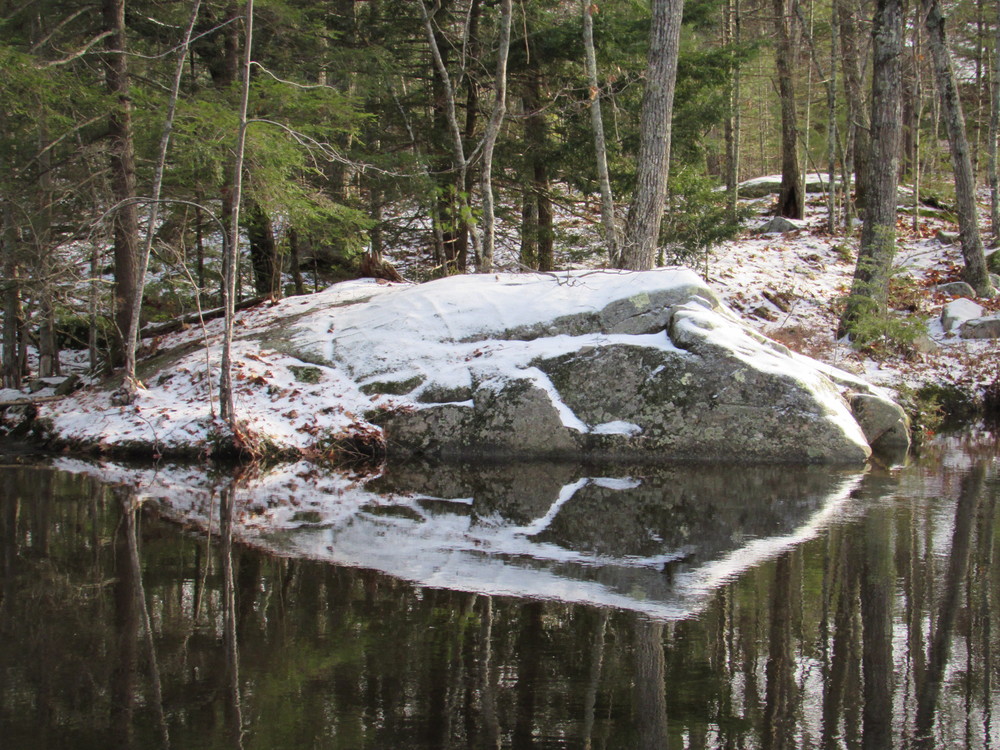
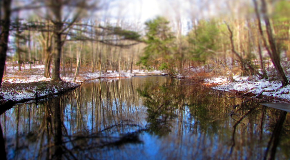
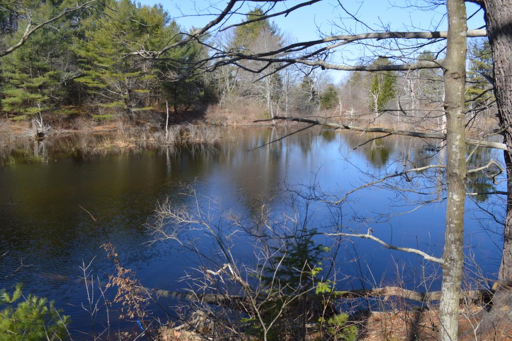
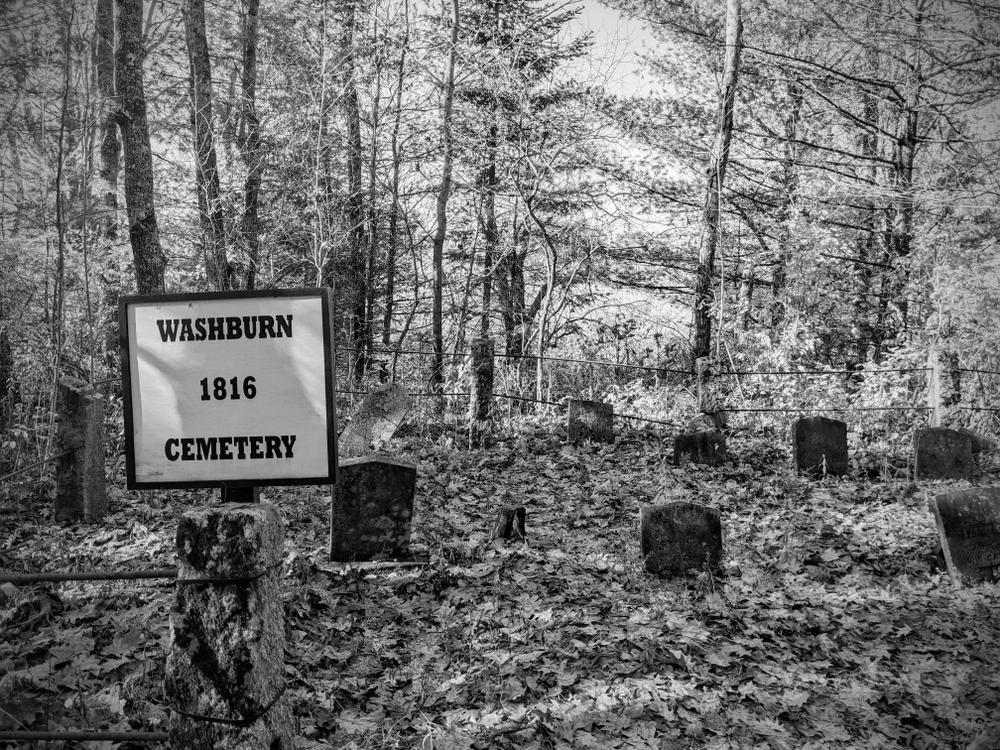
The Roller Trail (1 mile, marked by white blazes) loops around the headquarters complex through meadows and forests, is named in honor of longtime volunteers Mark and Gail Roller. The trail winds through meadows that in the summer are filled with wildflowers and along the Batson River, and features views of the river, beaver dams, and the Preserve’s namesake historic site, the Emmons Cemetery. In winter this loop is excellent for cross-country skiing and snowshoeing. This section of the trail on the southwest side of Gravelly Brook Road is at least 48” wide with a firm mowed grass surface. Slopes are under 5%. Cross slopes exceed 12% for approximately ⅓ of this section.
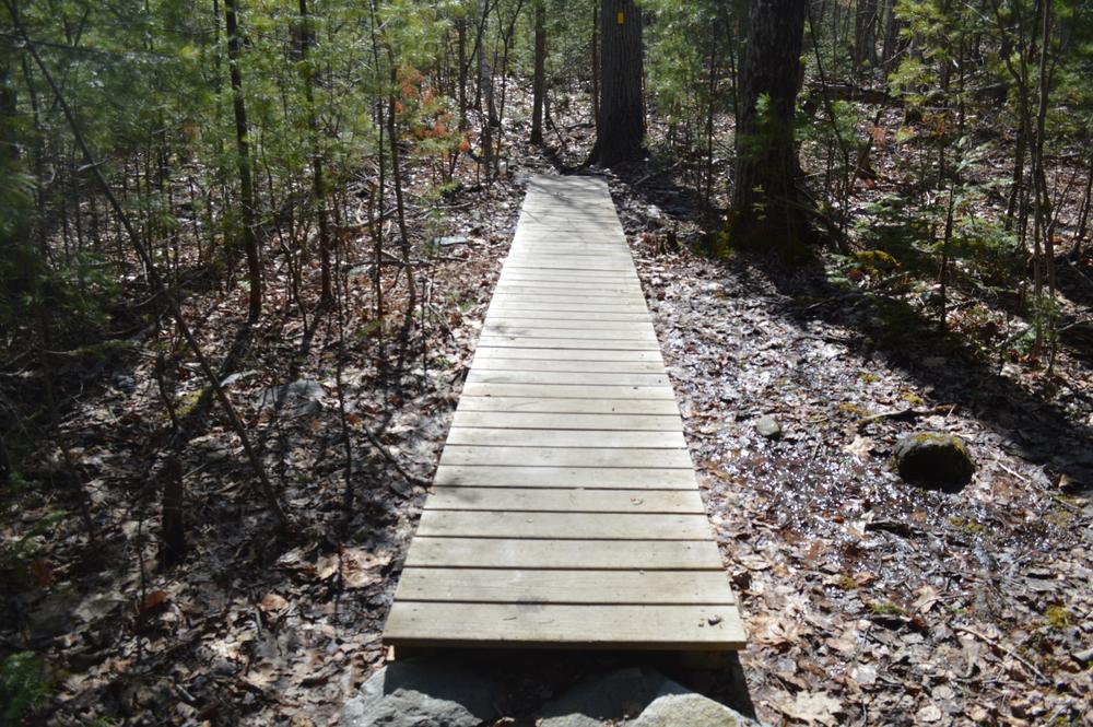
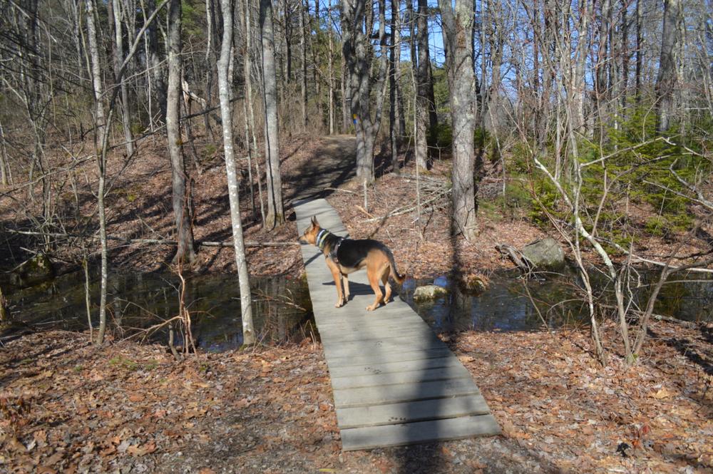
Where the Roller Trail overlaps with the Fitness Trail on the northeast side of Gravelly Brook Road, the typical useable part of the treadway is 18” wide with many root and rock surface interruptions.
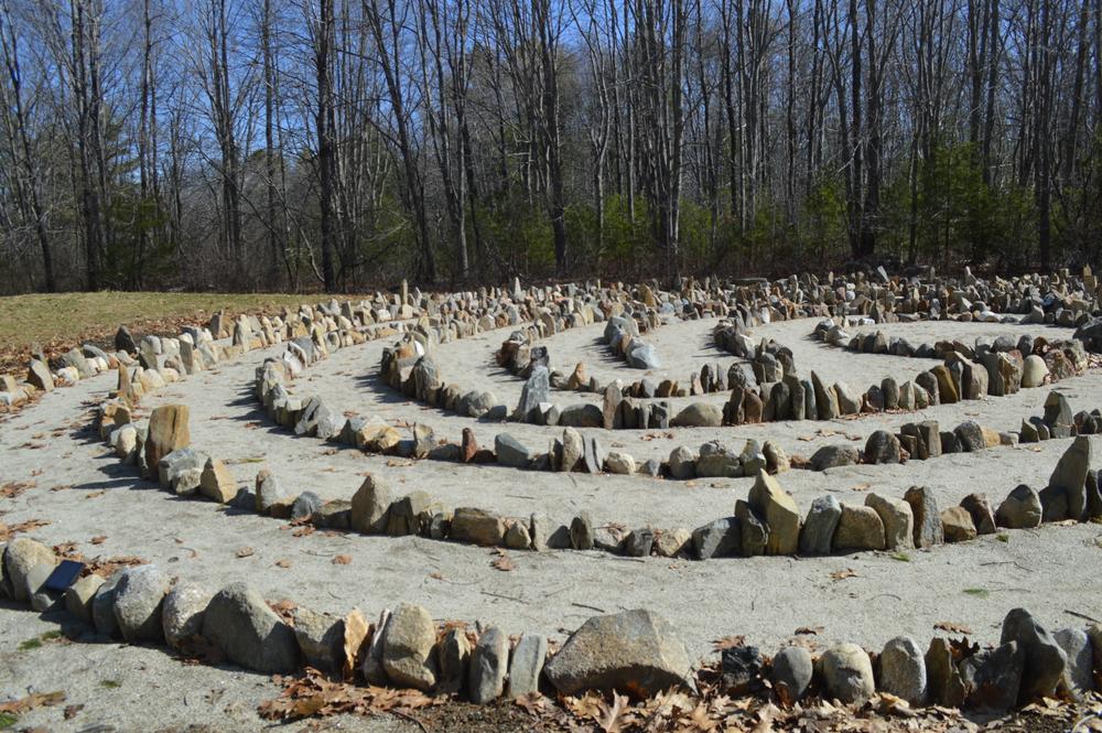
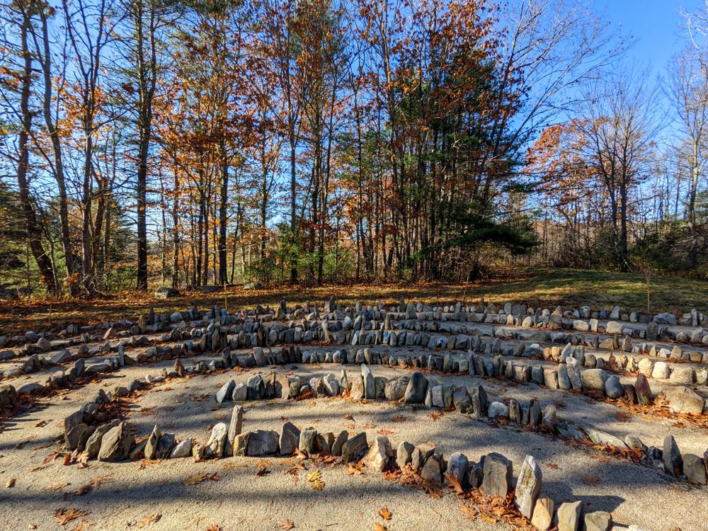
The Roller Trail from the parking toward the Batson River Bridge leads to the Community Labyrinth. Constructed with stones donated by members of the community in honor of loved ones, the labyrinth provides a quiet space for reflective enjoyment. The circling path is laid out in an ancient geometric pattern discovered on sites around the world dating back thousands of years. All are welcome here to pause, to wonder, to connect, to contemplate. You are invited to walk it in your own way, at your own pace; we ask only that you are mindful of others and respect it as you would any other sacred space. The route to and around the labyrinth is at least 48” wide, with a firm grass and stone dust surface and low slopes and cross slopes.
The Learning Loop (0.7-mile lollipop loop from the Batson River Bridge) includes thirteen learning stations with informative signs that describe the landscape, flora, fauna, and history of the area. The trail was developed by the Trust In Our Children program in partnership with Kennebunk High School.
To the north are Jeremy's Trail, with an extension of the longer Jenne's Loop, which make up the Two J's Loop (0.8 miles, from the Batson River Trail). There are several overlooks, including Teal Hole Falls, the site of a historic mill.
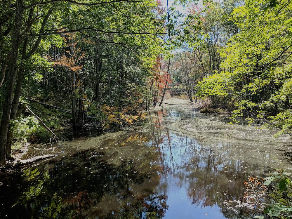
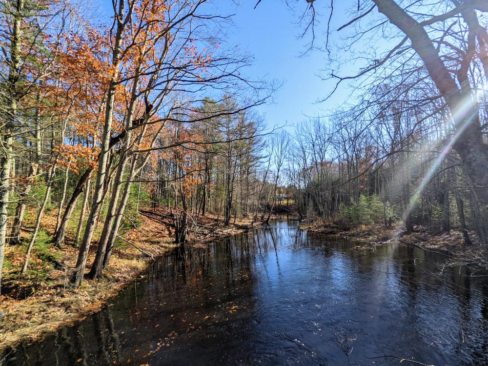
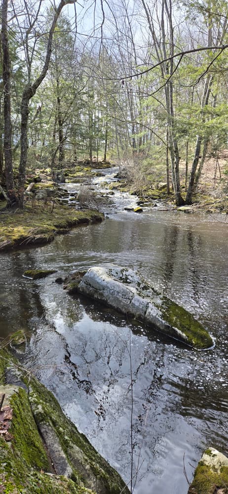
The Batson River Trail (1.3 miles) connects the Emmons Preserve to the Tyler Brook Preserve to the south. The trail travels through woods and fields, dotted by old cemeteries, and featuring a breathtaking stretch along the Batson with views of the river, especially beautiful in the fall.
KCT trails are not for commercial use. If you are interested in having an organized event on our trails, please contact the trust.
Due to the sensitive nature of rare flora and fauna and changing weather conditions, we do not allow motorized vehicles on our trails. People with disabilities should contact the Trust to learn more about accessing the trails.
Visit the Kennebunkport Conservation Trust online for more information or contact:
Kennebunkport Conservation TrustThe Emmons Preserve is located at the Kennebunkport Conservation Trust headquarters. Take ME-9 (Mills Road) north about 1.7 miles from the village of Cape Porpoise in Kennebunkport. Turn left onto Beachwood Road and then turn right onto Stone Road. Take a left onto Gravelly Brook Road just after crossing the Baston River. Parking will be at the Conservation Trust headquarters on the left.
Success! A new password has been emailed to you.