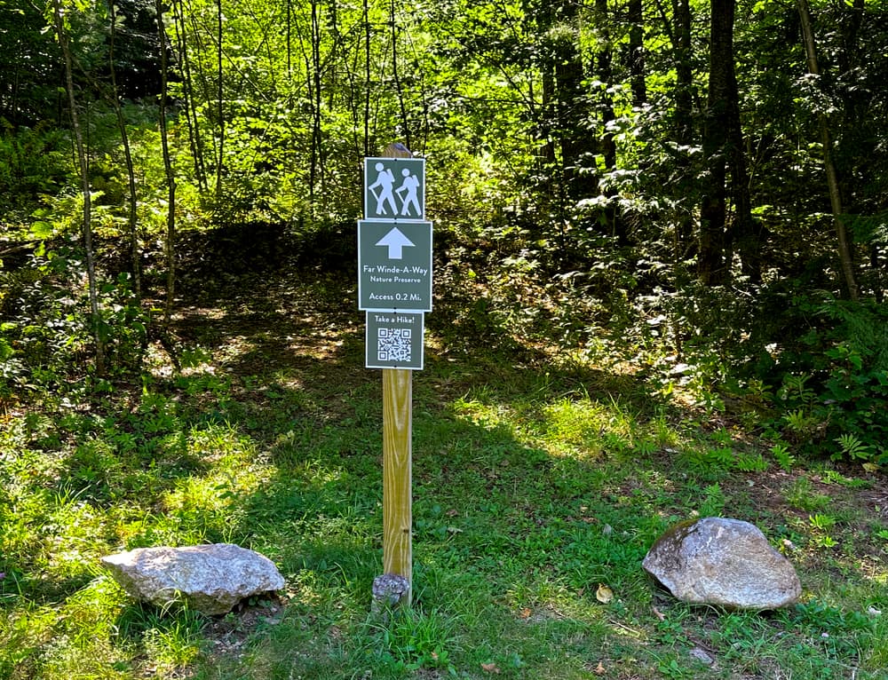
Access Path (0.2 miles one way)
A moderate path leading to the Far Winde-A-Way kiosk and trails, following old farm and logging roads.
Cakewalk (0.4 miles one way)
A moderate trail along Mud Pond, beginning with a downhill jaunt. Be aware of your footing across roots and rocks. The trail ends on a wooded, steep-sided knoll at the edge of the pond. Two 'Scrambles' (short, but difficult, make-your-own-way side trips) can be accessed from this trail.
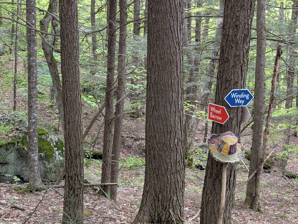
Wheelbarrow (0.4 miles one way)
A moderate trail that begins with an uphill climb, then joins an old horse-logging road. Impressive work went into building this road across the rough hillside.
Angle Iron (0.3 miles one way)
A strenuous climb, with drop-offs and a cliff near the trail. The cliff is marked with signs. Most of the trail is an old horse-logging route; imagine logging this difficult terrain with horses!
Winding Way (1.4 miles one way)
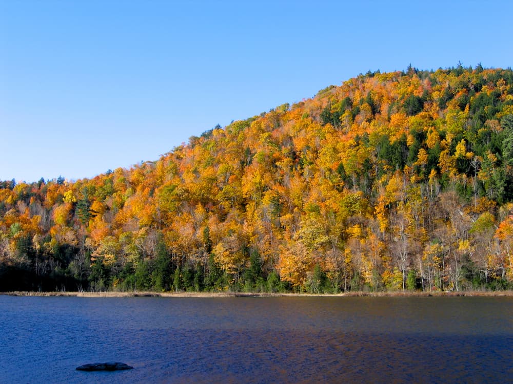
A moderate and steady climb from the end of the Cakewalk to the summit of the preserve, with a few challenging inclines. The Angle Iron and Wheelbarrow trails also join Winding Way. There's a small stone monument at the summit, and Pennesseewassee Lake is visible through the trees in fall and winter. From there, the trail loops back down and reconnects with itself.
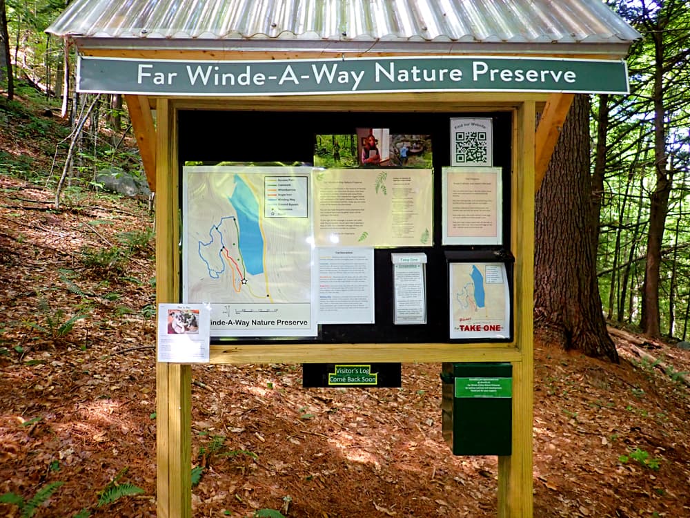
For additional information, visit the Far Winde-A-Way Nature Preserve website, or contact:
Far Winde-A-Way Nature PreserveFrom the South
Take ME-118 west out of Norway, and go approximately 2.5 miles to Greenwood oaRd. Turn right on Greenwood Road and go approximately 5.2 miles to the Far Winde-A-Way Nature Preserve access path on the left.
From the North
Take ME-26 east from Bethel, and go approximately 3 miles to Greenwood (aka Locke Mills). Turn right onto Howe Hill Road, then take the first left onto Greenwood Road. Go approximately 8 miles on Greenwood Road to the Far Winde-A-Way Nature Preserve access path on the left.
Success! A new password has been emailed to you.