Grafton Notch State Park is one of Maine's premier recreational destinations, lying just off of Maine Route 26 in Newry among the Mahoosuc Mountain Range. The eastern portion of the park offers two rugged terrain, back-country hiking experiences.
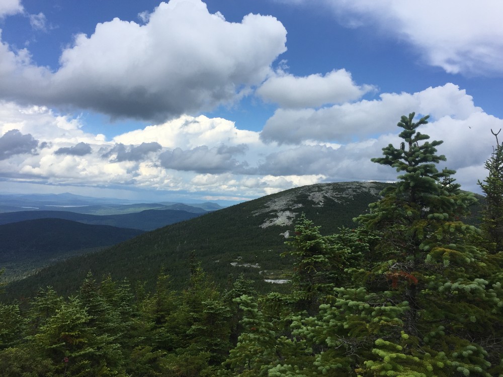
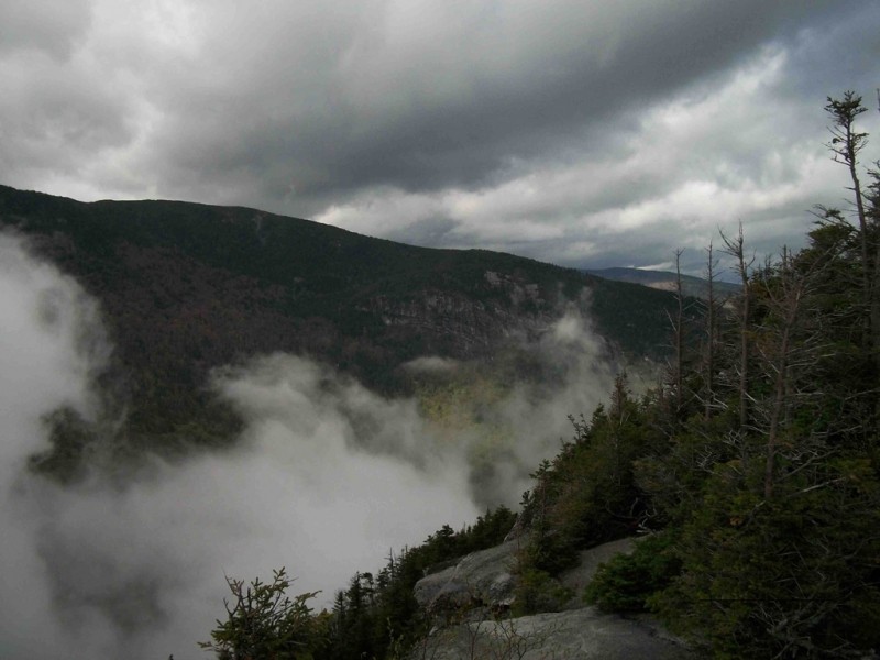
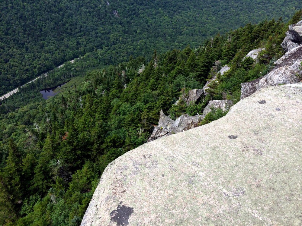
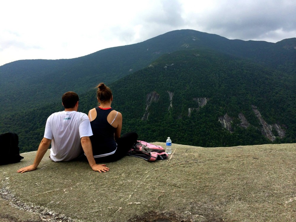
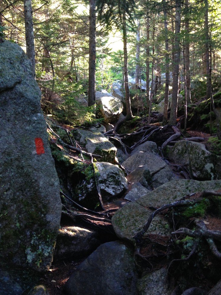
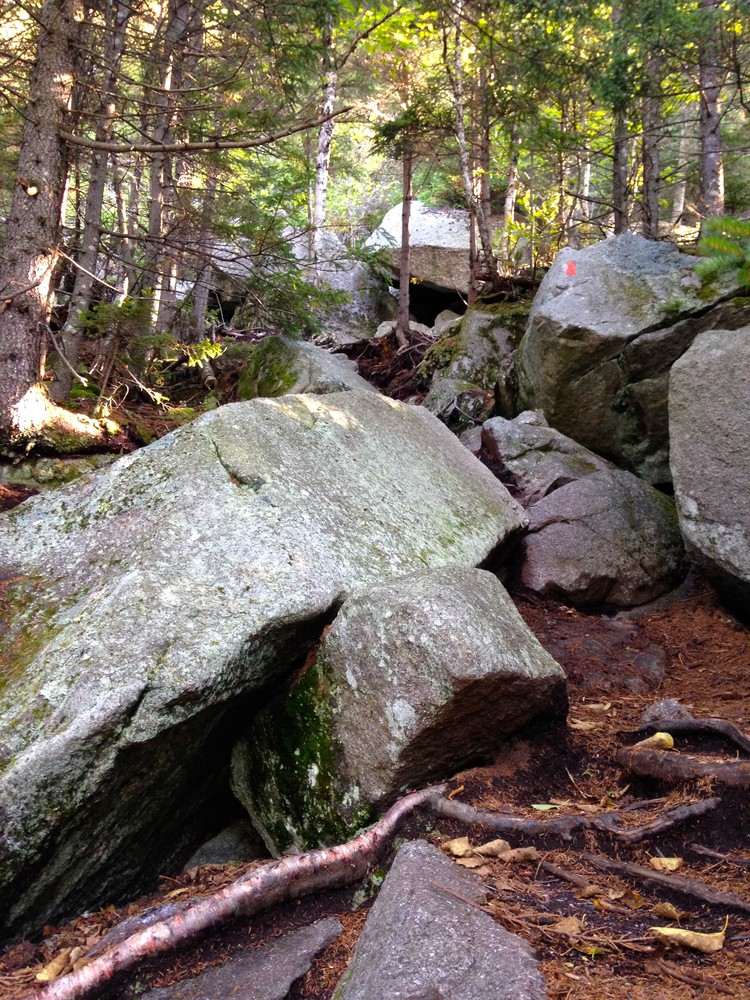
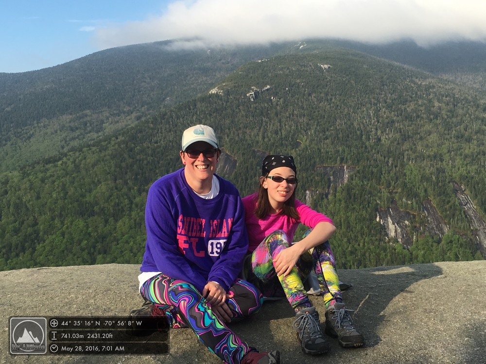
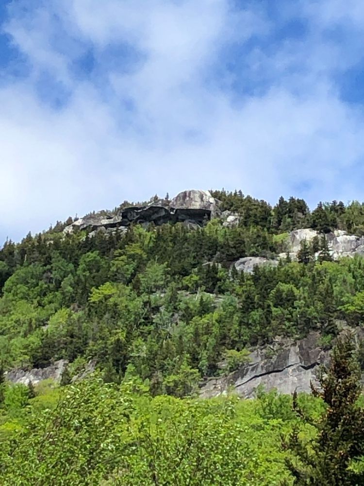
Table Rock Loop Trail (2.4 miles round trip, moderate-advanced): The Table Rock Loop Trail is a moderate hike compared to the other hikes in the park. Table Rock is 900 feet above the trailhead and offers fantastic views of Old Speck Mountain, the Eyebrow, and Grafton Notch. From the parking area cross ME Route 26 and follow the white-blazed Appalachian Trail northbound. After 0.1 miles, you can choose between the steep, boulder-strewn, orange-blazed Table Rock Trail (not appropriate for pets or young children) or continue on the moderately steep AT to the next trail junction. After approximately one mile, the blue-blazed Table Rock trail begins, offering an easier hike for less experienced hikers. Be careful at the summit, there is a steep drop-off where the ledge ends and no barrier's are in place.
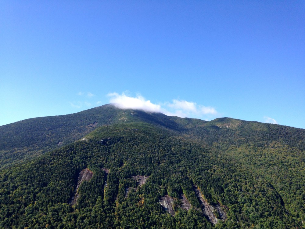
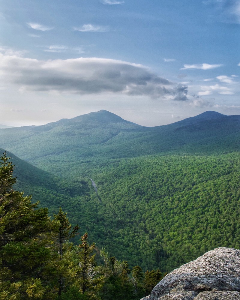
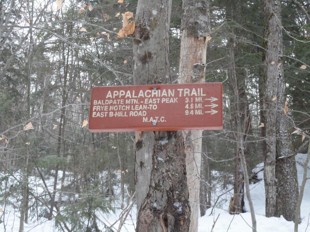
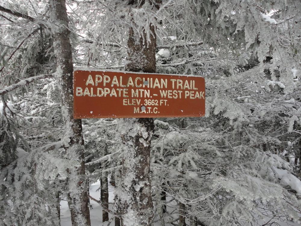
Baldpate Mountain (5.8-7.6 miles round trip, advanced): Located beyond the Table Rock Trail in the Mahoosuc Public Lands, Baldpate Mountain includes two summit hikes with fantastic views. Hiking to the West Peak is a 5.8 mile round trip and is a challenging hike. The East Peak of Baldpate is another mile past West Peak and brings the trip total to 7.6 miles round trip. From the parking lot, cross ME Route 26, and follow the white blazed Appalachian Trail northbound. In 0.1 mile continue on the AT passing the orange blazed table rock trail on the right. Next you will pass the blue blazed side trail to Table Rock on right at 0.9 mile. After this trail you leave the park boundary line and ascend steeply up the North slope to the summit of West Peak (3,680 feet). If you desire to travel to East Peak (3,812 feet), continue on following the white blazes for one mile.
View BPL's Grafton Notch and Mahoosuc Public Land map and guide.
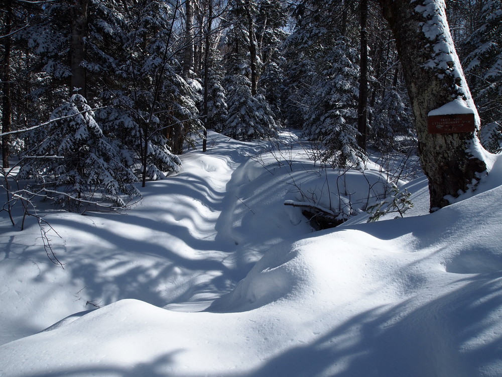
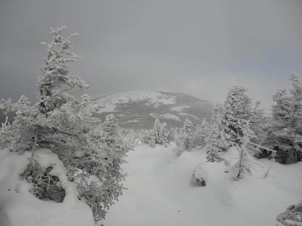
Grafton Notch State Park is also part of the Maine Birding Trail, birdwatchers can observe peregrine falcons, a wide variety of songbirds, and at higher elevations some northern forest species. In the winter, adventurous snowshoers and cross-country skiers enjoy exploring ungroomed trails.
Grafton Notch is open seasonally from May 15th to October 15th from 9:00 am to sunset. Off season, visitors may continue to enjoy the park during these same hours. Please place the admission fee in the self-service collection canister. Please be aware that facilities are closed during the off season.
Visit Maine Bureau of Parks and Lands online for more information and a printable map or contact:
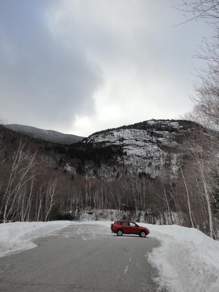
Maine Bureau of Parks and Lands, Grafton Notch State ParkFrom the intersection of US Route 2 and ME Route 26 in Newry, follow ME Route 26 approximately 12 miles north to where the Appalachian Trail crosses the road. Coming from US Route 2, the trailhead and parking area will be on the left. The trails up Baldpate and Table Rock leave from the east side of ME Route 26.
Success! A new password has been emailed to you.