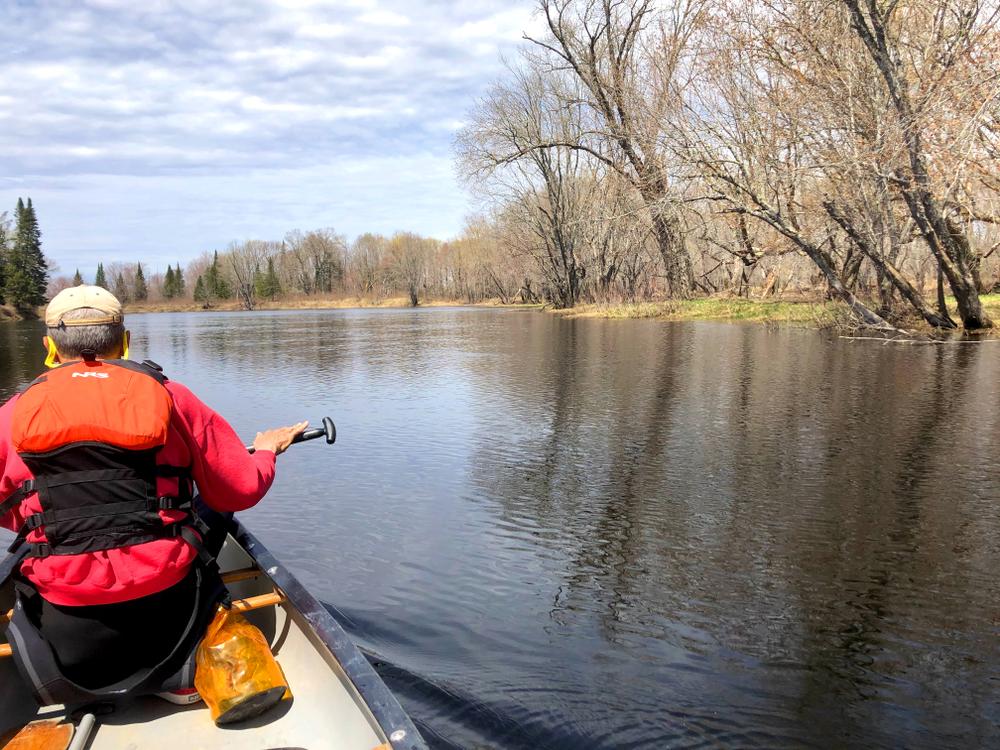
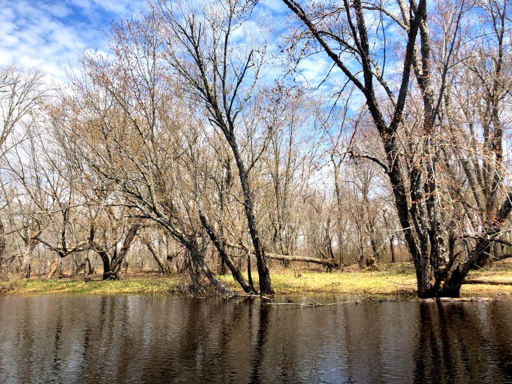
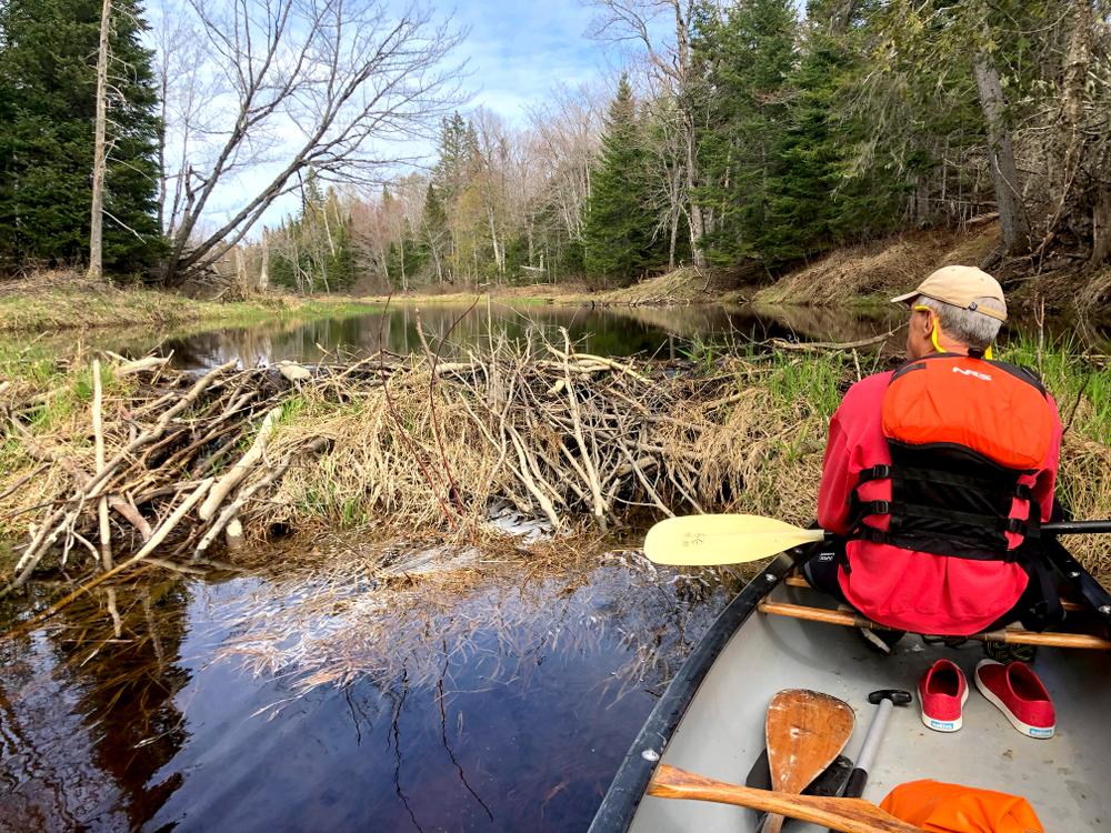
For the first few miles the river is broad, winding through maple swamps with a good current. The river parallels roads for some of its length, but these low-trafficed roads only occassionally seen, and the river retains a wild feel.
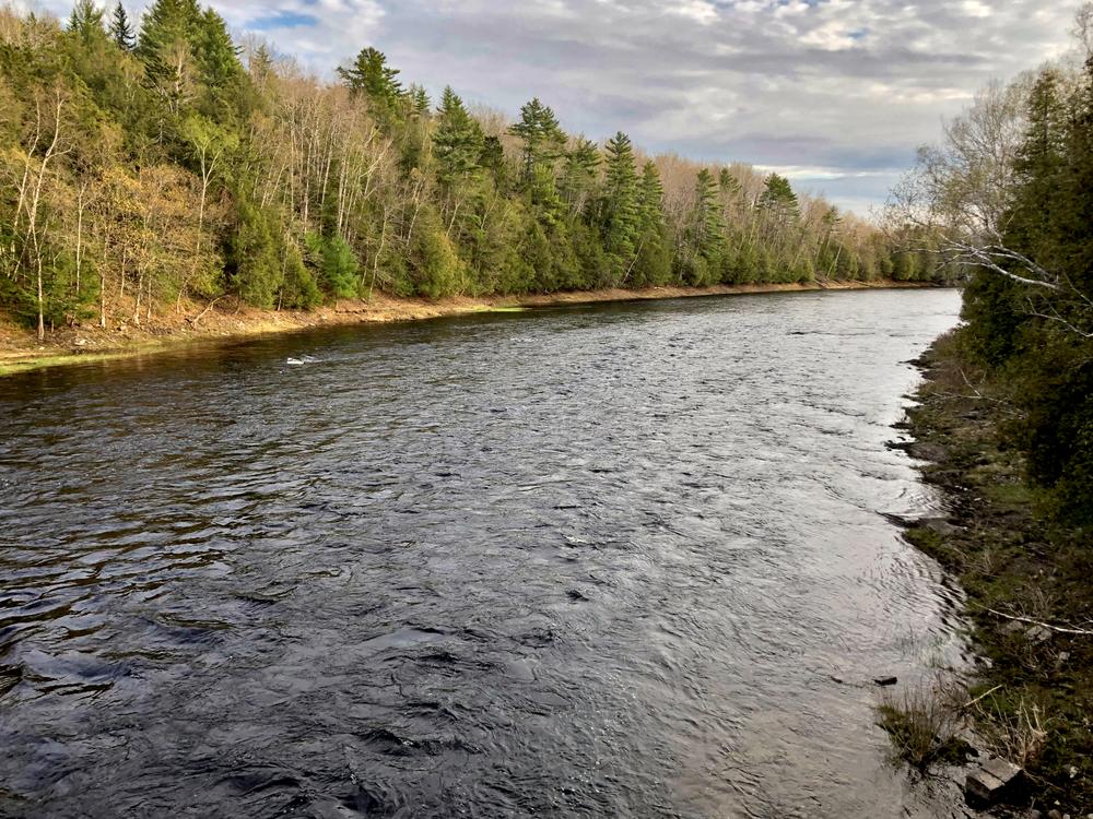
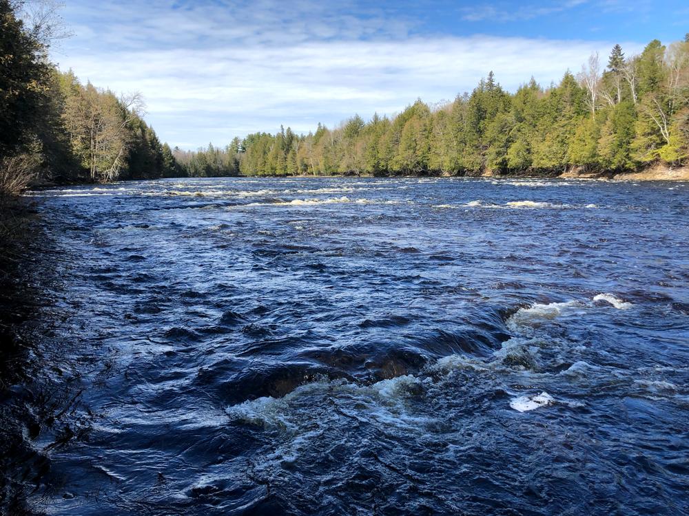
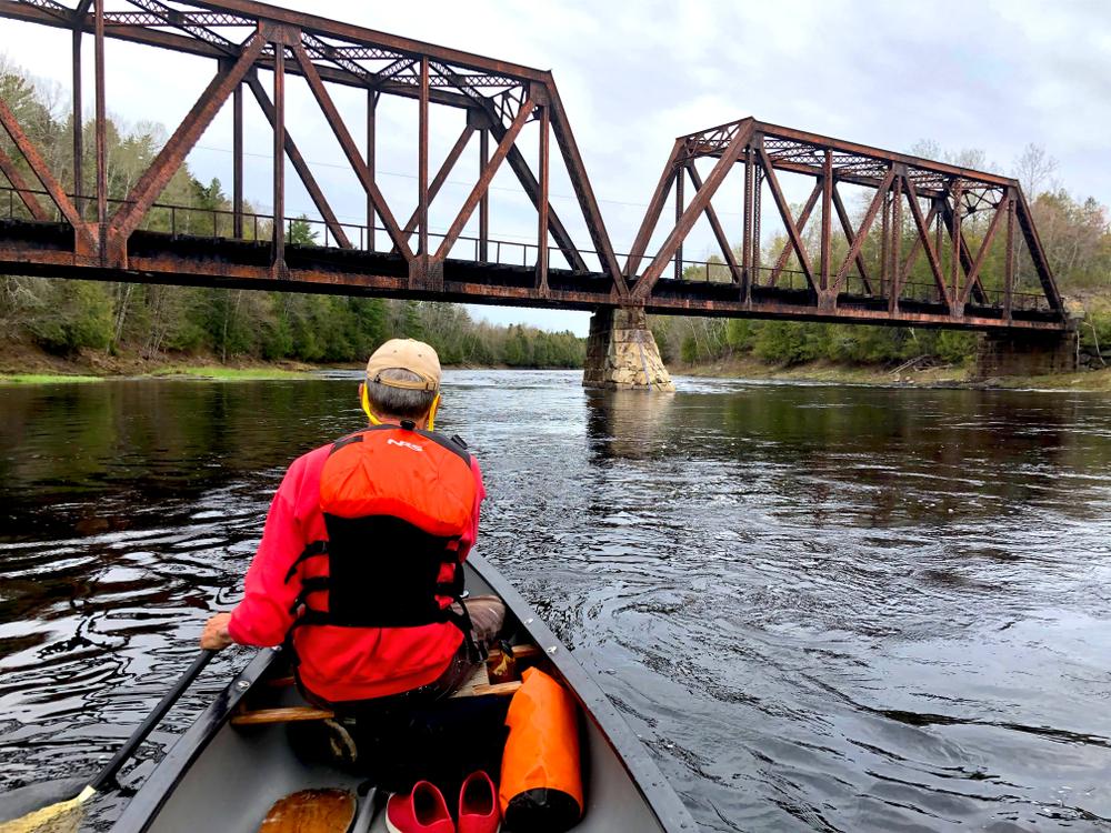
At 7.1 miles from Haynesville the river passes under Old Ferry Bridge and the current increases. 3.3 miles past Old Ferry Bridge is Ledge Falls. The Falls begins with a 200-yard Class II rapid at the top, followed by a short smooth section, and then a more ledgy Class II rapid. The river becomes smooth and wide again once past Ledge Falls.
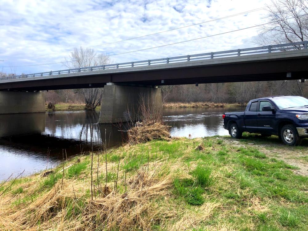
Approximately 15 miles down river, the Bancroft Road crosses the river. Boats can be taken out here for a shorter trip. Just past the Bancroft Road bridge is the confluence with Baskahegan Stream on the east (left) side of the river. From here to Wytopitlock the current is stronger, with riffles and a few Class I rapids.
The ME-171 bridge in Wytopitlock is about 9 miles below the Bancroft Road. The landing is on the left just below the bridge.
This water is canoeable most of the year except during periods of extremely low water.
The river offers good to excellent fishing for smallmouth bass along the entire trip, and early spring may produce fair fishing for brook trout.
For additional information, visit the Aroostook County Tourism website, or contact:
Aroostook County TourismHAYNESVILLE US-2A PUT-IN
From the south, take exit 227 off I-95, and go 2.2 miles on Access Road to ME-116. Take the left onto ME-116 N and go 6.1 to where ME-116 turns left, and head straight on North Chester Road. Go 0.6 miles and turn right on Chester Road. Go 0.4 miles over the Mattawamkeag and turn left on US-2. Go 18 miles on US-2 to where US-2 turns left, and continue straight on US-2A. Follow US-2A 19.5 miles to the US-2A bridge over the river. The put-in is just before the bridge on the left.
From the north, take exit 291 off I-95 and turn left on US-2 E. Go 3.6 miles and turn right on Campbell Road. Go 1.6 miles to Drews Lake Road on the left, then go 0.3 miles to New Limerick Road on the right. Take New Limerick Road 4.9 miles to South Oakfield Road. Turn left on South Oakfield Road, drive 1 mile, then turn right at the first cross street onto US-2A. Head south on US-2A for 15.2 miles to the Mattawamkeag in Haynesville. The boat launch is just over the bridge on the right.
BANCROFT ROAD TAKE-OUT
From US-1 in Danforth, take ME-169 west a few hundred feet and turn right onto Bancroft Road. Go 8.3 miles to the bridge over the river.
From I-95, take exit 244, and turn right onto ME-157 E off the exit. Go 11 miles and turn right onto US-2 E. Go 9.5 miles and continue straight onto US-2A. Go 8.7 miles and turn right onto ME-171 S. Go 6.8 miles to Bancroft Road on the left. Take Bancroft Road 7.7 miles to the bridge over the river.
WYTOPITLOCK TAKE-OUT
From US-1 in Danforth, take ME-169 west a few hundred feet and turn right onto Bancroft Road. Go 16 miles to ME-171 in Wytopitlock. Turn left onto ME-171 S and go 0.8 miles to the bridge over the river.
From I-95, take exit 244, and turn right onto ME-157 E off the exit. Go 11 miles and turn right onto US-2 E. Go 9.5 miles and continue straight onto US-2A. Go 8.7 miles and turn right onto ME-171 S. Go 7.6 miles to the bridge over the river.
Success! A new password has been emailed to you.